
−3 m · Strata · Maya Ruins
Maya Ruins of Yucatán: Periods, Building Styles and How to Visit
From village platforms older than Rome to walled ports still trading when the Spanish arrived, the ruins of the peninsula cover some three thousand years. Knowing the period and the style makes each site easier to read.
Every guide in Maya Ruins
AI-generated image Maya Ruins · Yucatán
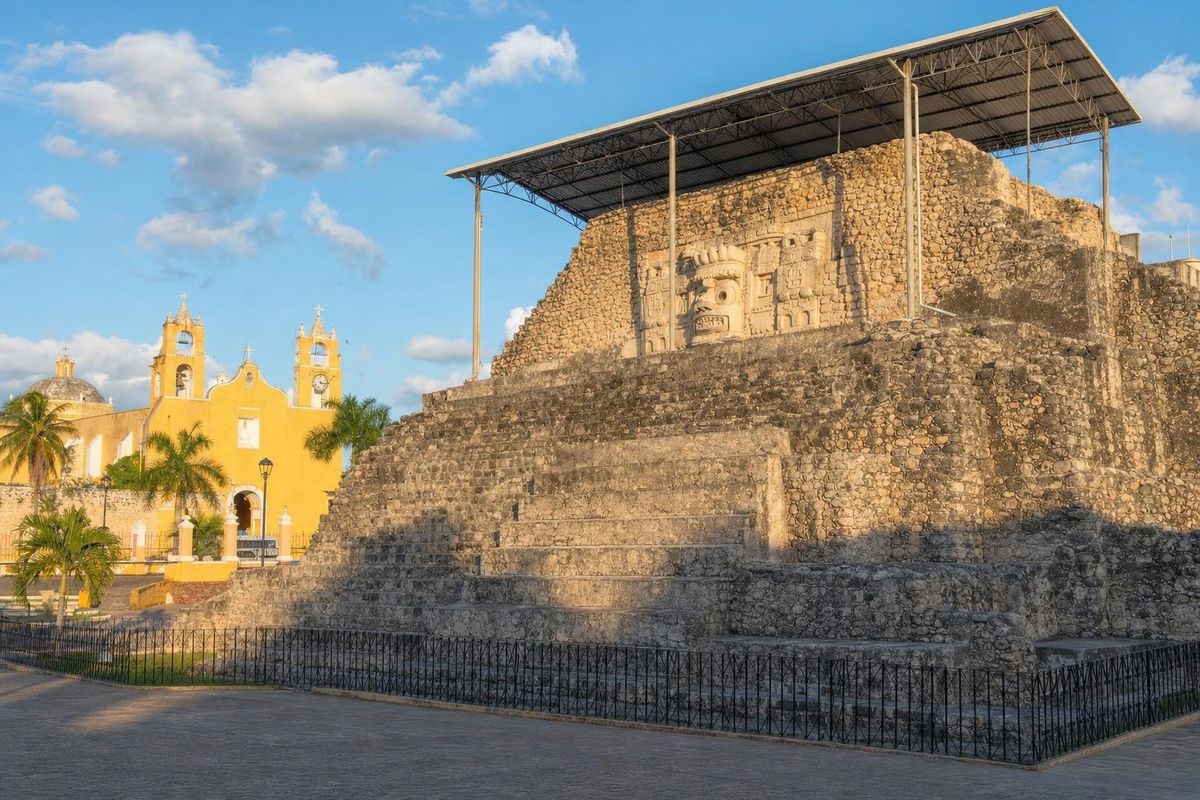
Acanceh
AI-generated image Maya Ruins · Chiapas
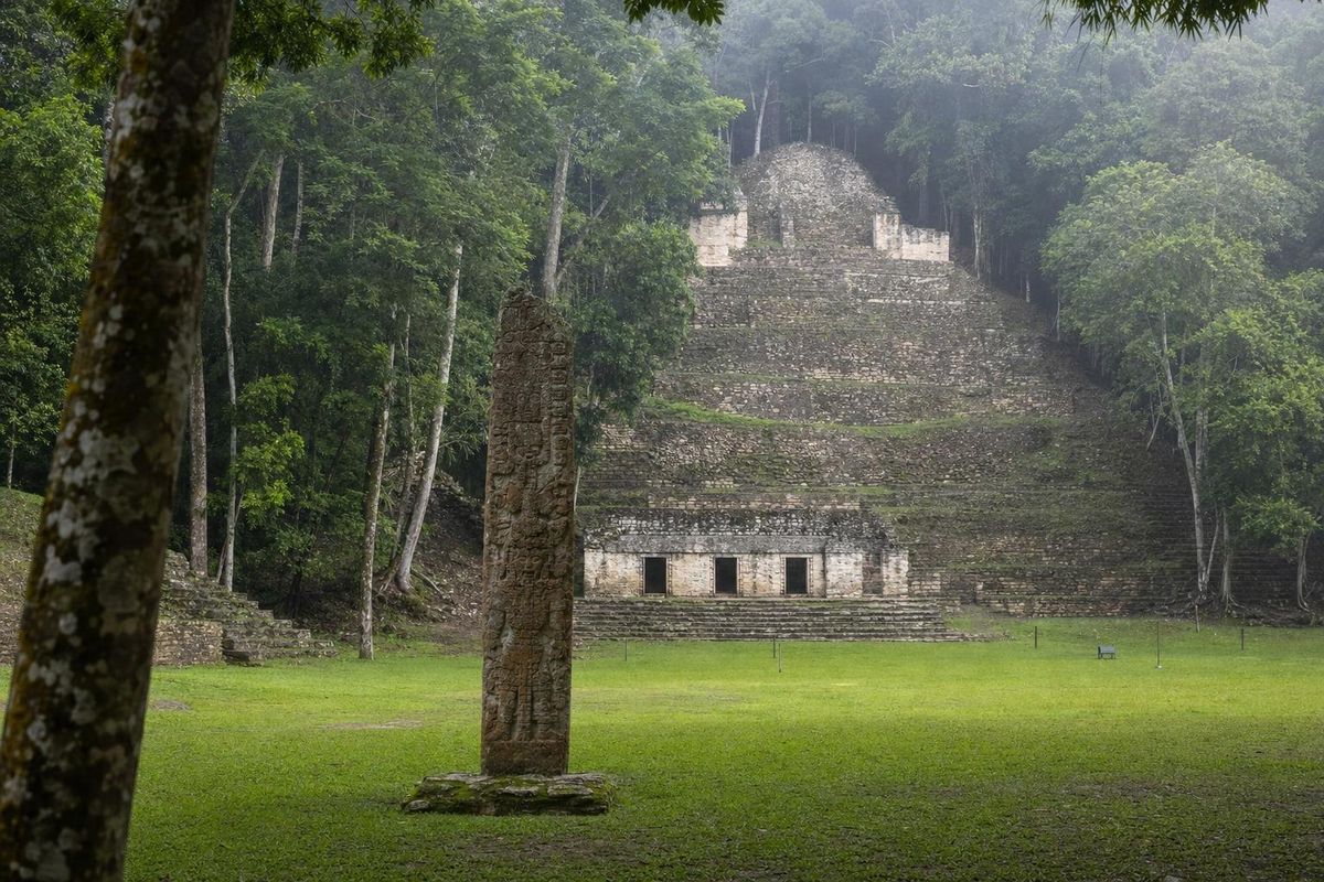
Bonampak
AI-generated image Maya Ruins · Campeche
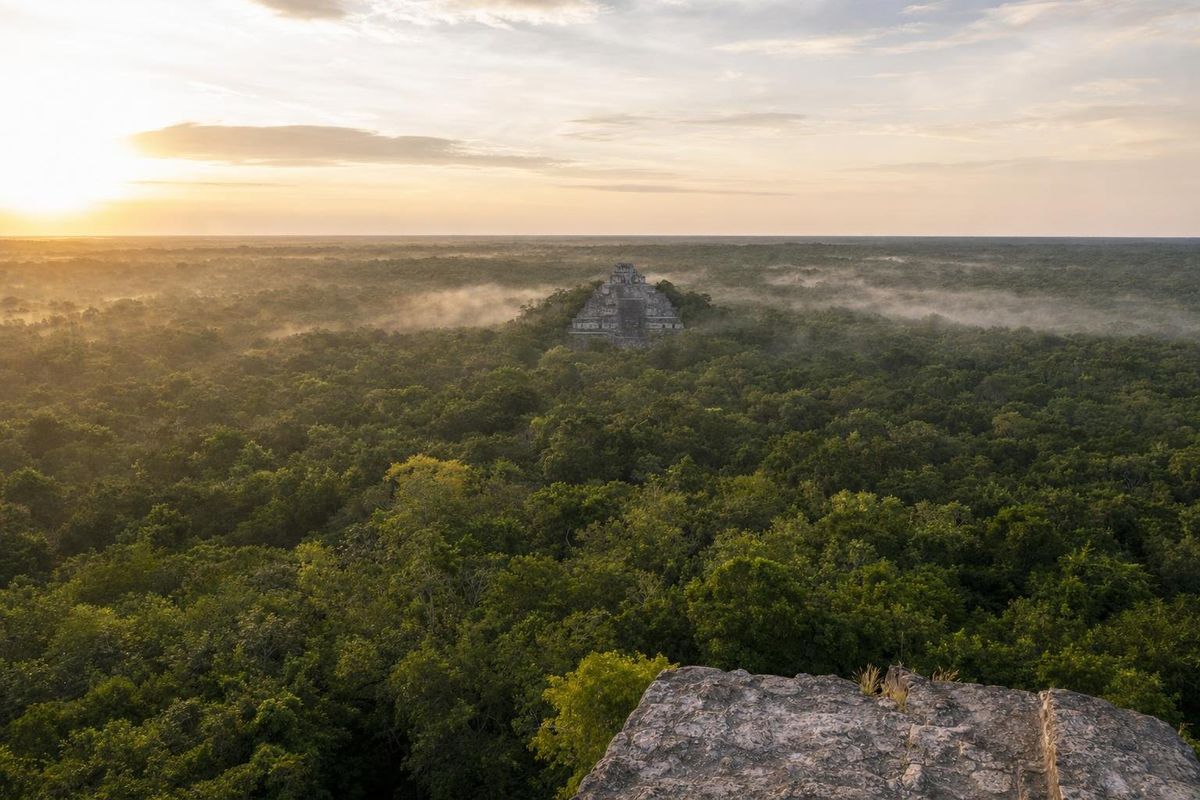
Calakmul
AI-generated image Maya Ruins · Veracruz
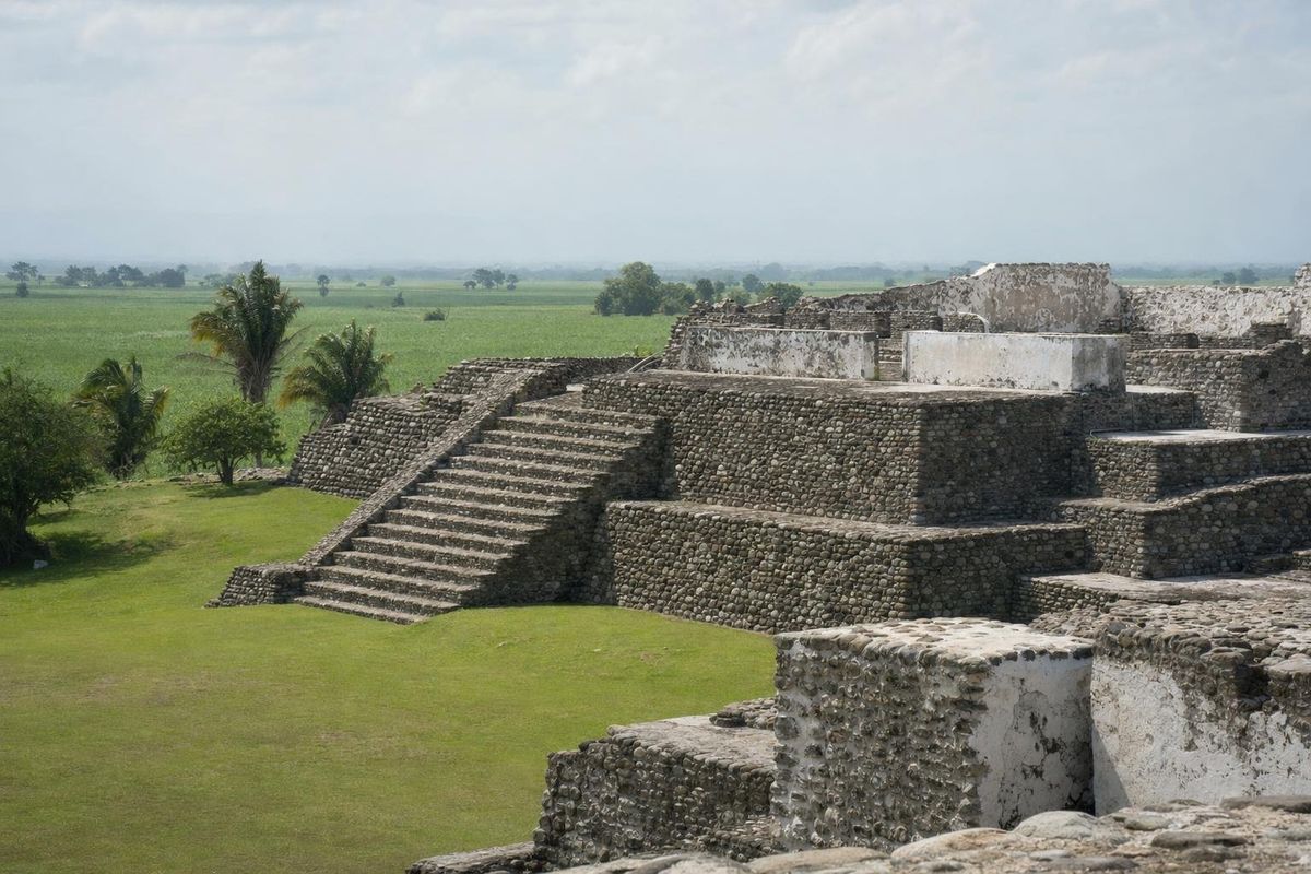
Cempoala
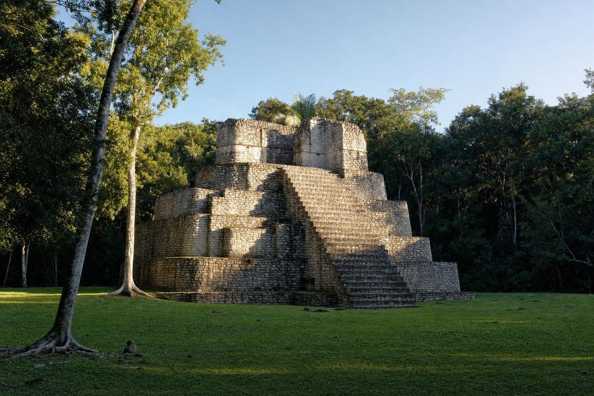
AI-generated image Maya Ruins · Quintana Roo
Chacchoben
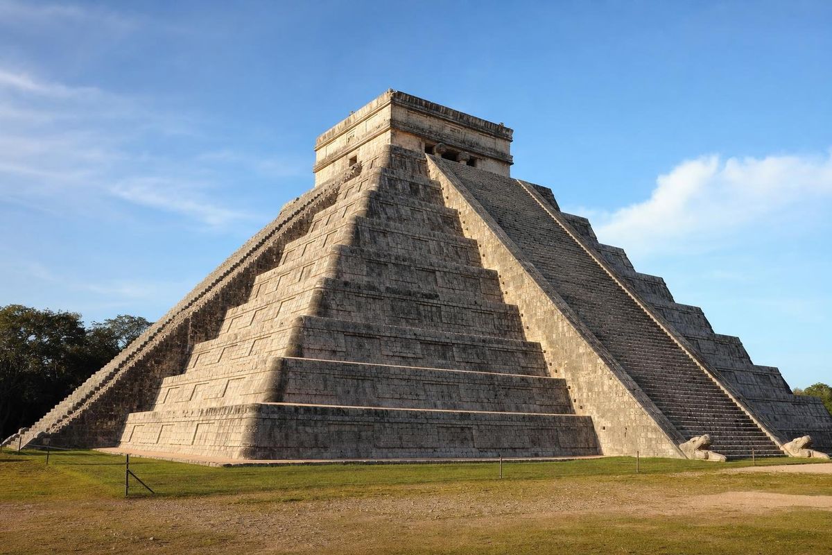
AI-generated image Maya Ruins · Yucatán
Chichén Itzá
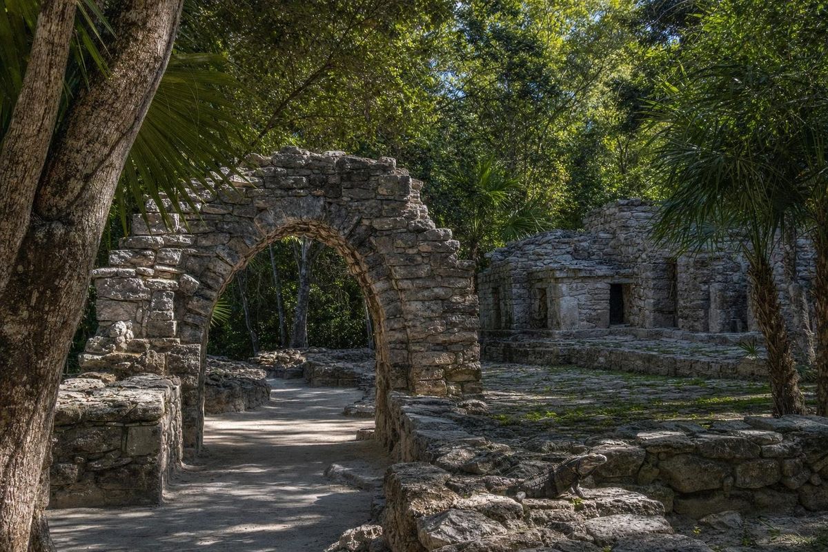
AI-generated image Maya Ruins · Quintana Roo
Cozumel ruins
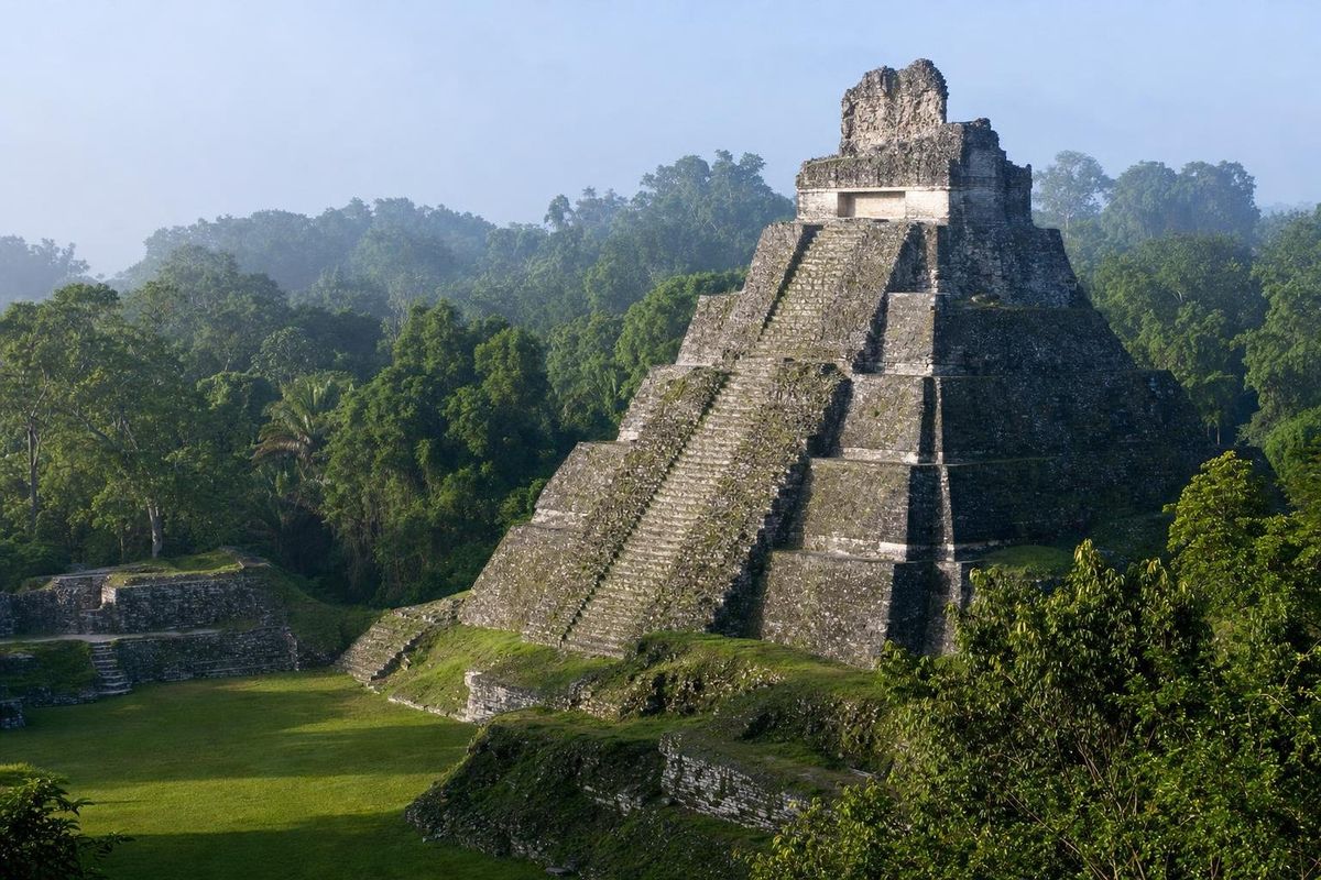
AI-generated image Maya Ruins · Quintana Roo
Dzibanché
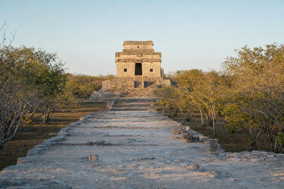
AI-generated image Maya Ruins · Yucatán
Dzibilchaltún
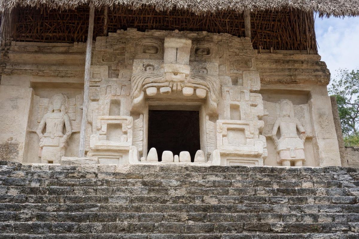
AI-generated image Maya Ruins · Yucatán
Ek Balam
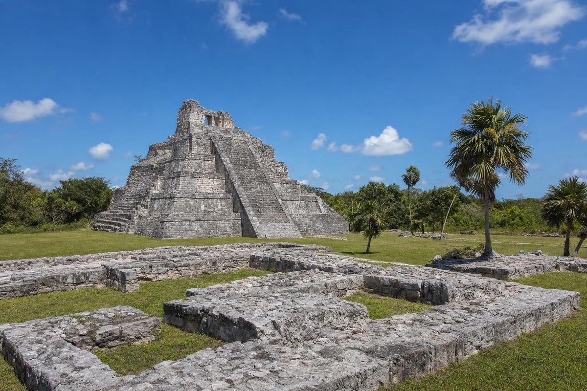
AI-generated image Maya Ruins · Quintana Roo
El Meco
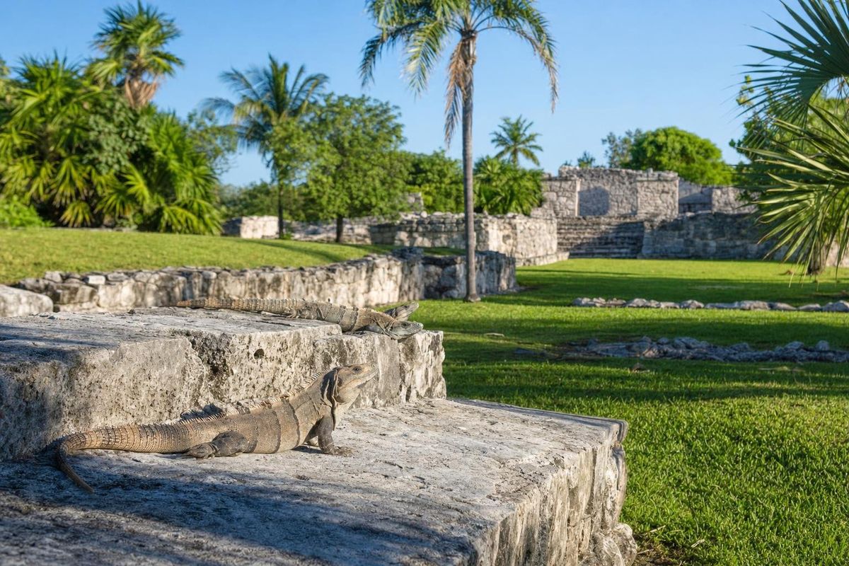
AI-generated image Maya Ruins · Quintana Roo
El Rey
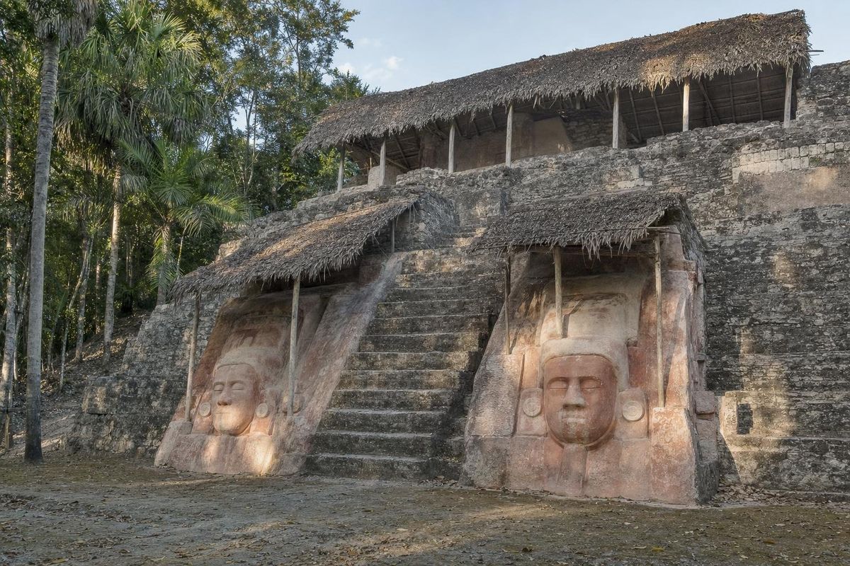
AI-generated image Maya Ruins · Quintana Roo
Kohunlich
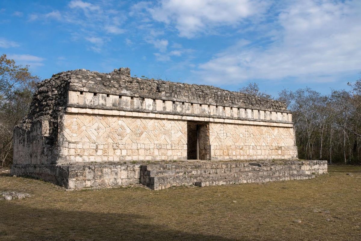
AI-generated image Maya Ruins · Yucatán
Kulubá
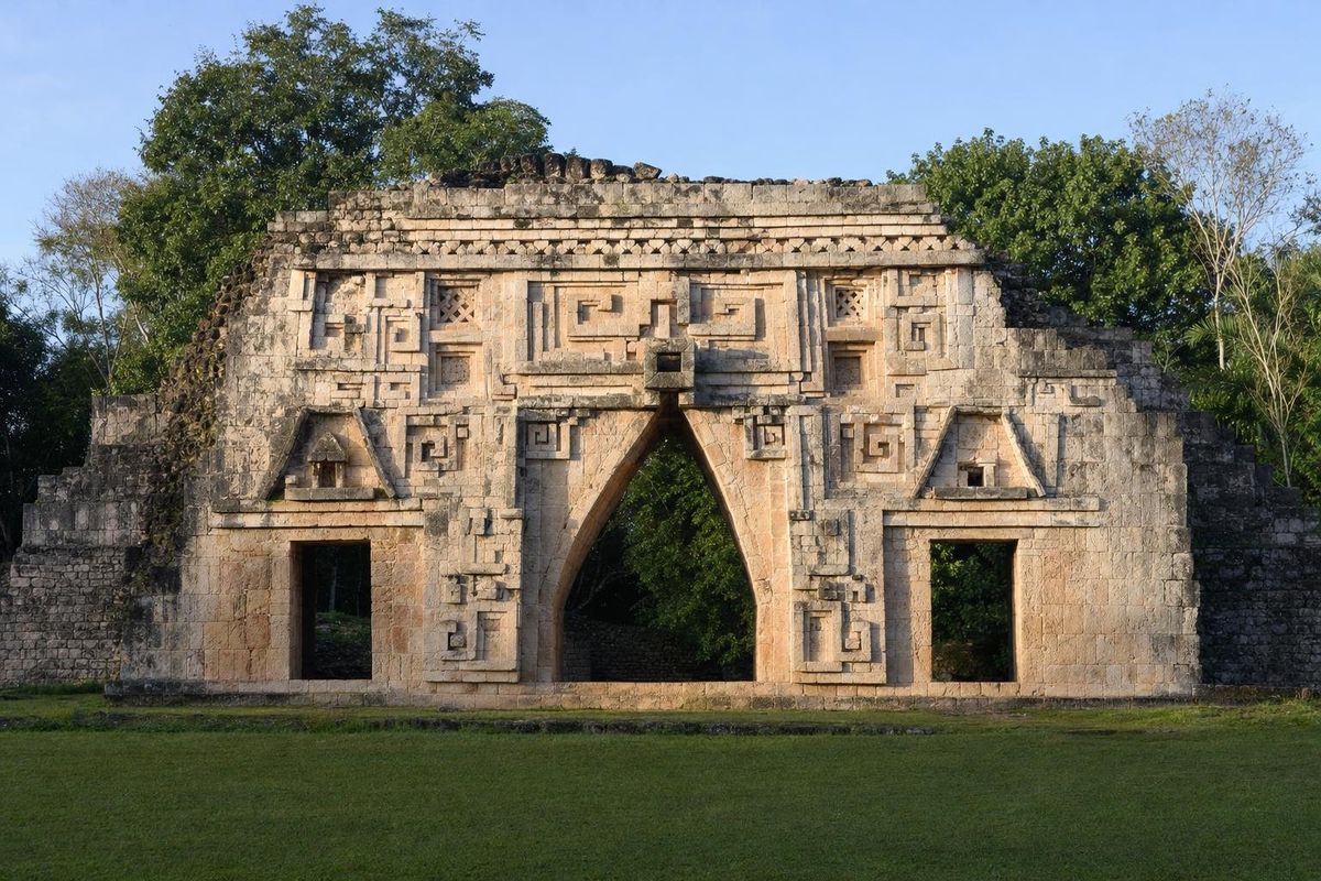
AI-generated image Maya Ruins · Yucatán
Labná
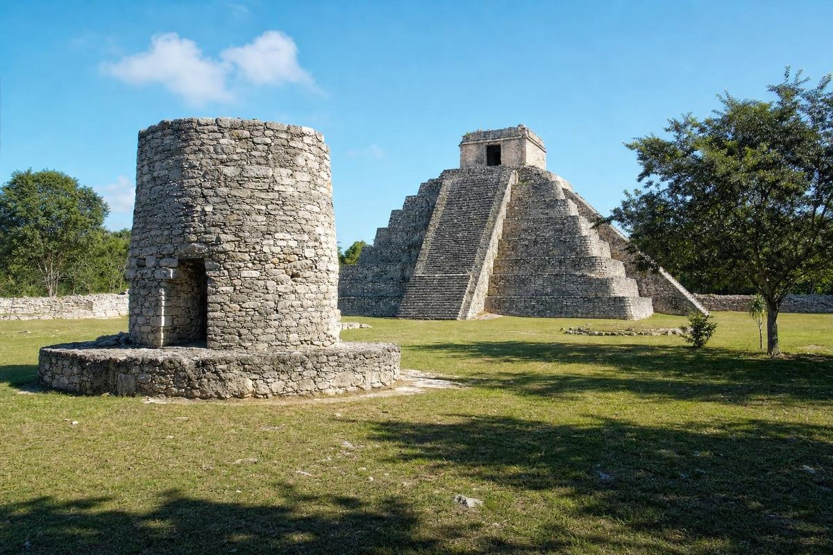
AI-generated image Maya Ruins · Yucatán
Mayapán
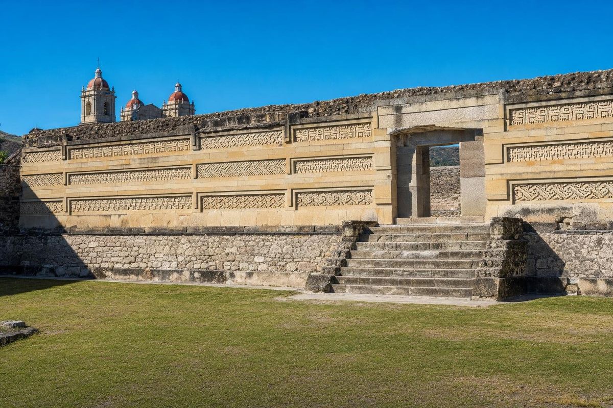
AI-generated image Maya Ruins · Oaxaca
Mitla
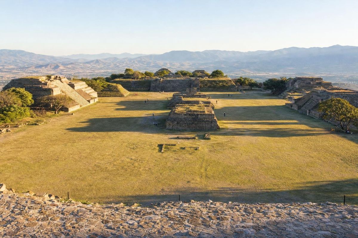
AI-generated image Maya Ruins · Oaxaca
Monte Albán
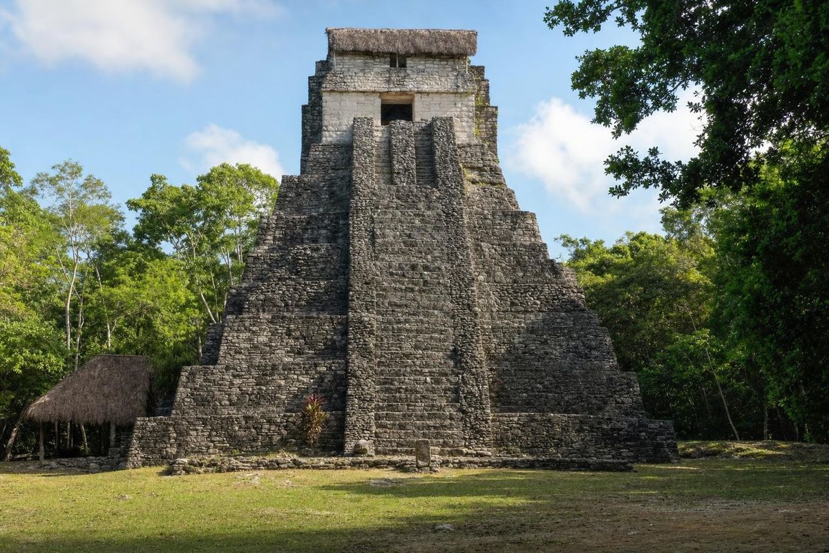
AI-generated image Maya Ruins · Quintana Roo
Muyil
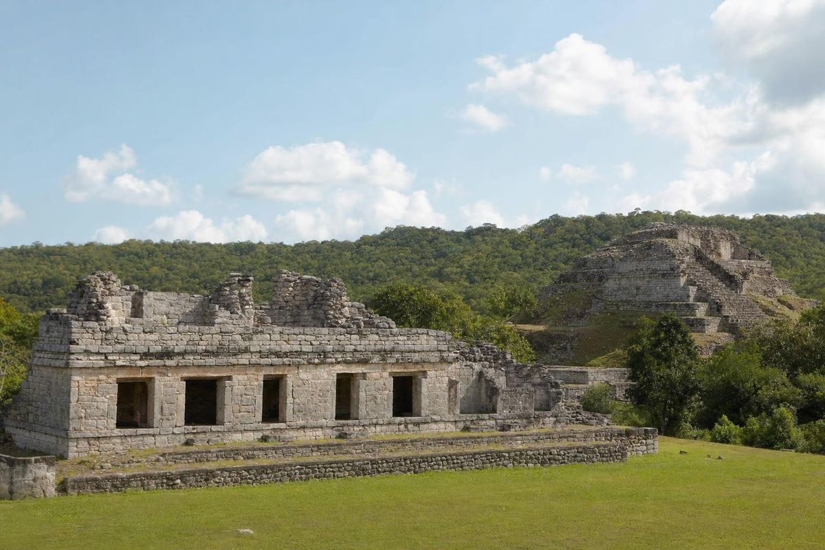
AI-generated image Maya Ruins · Yucatán
Oxkintok
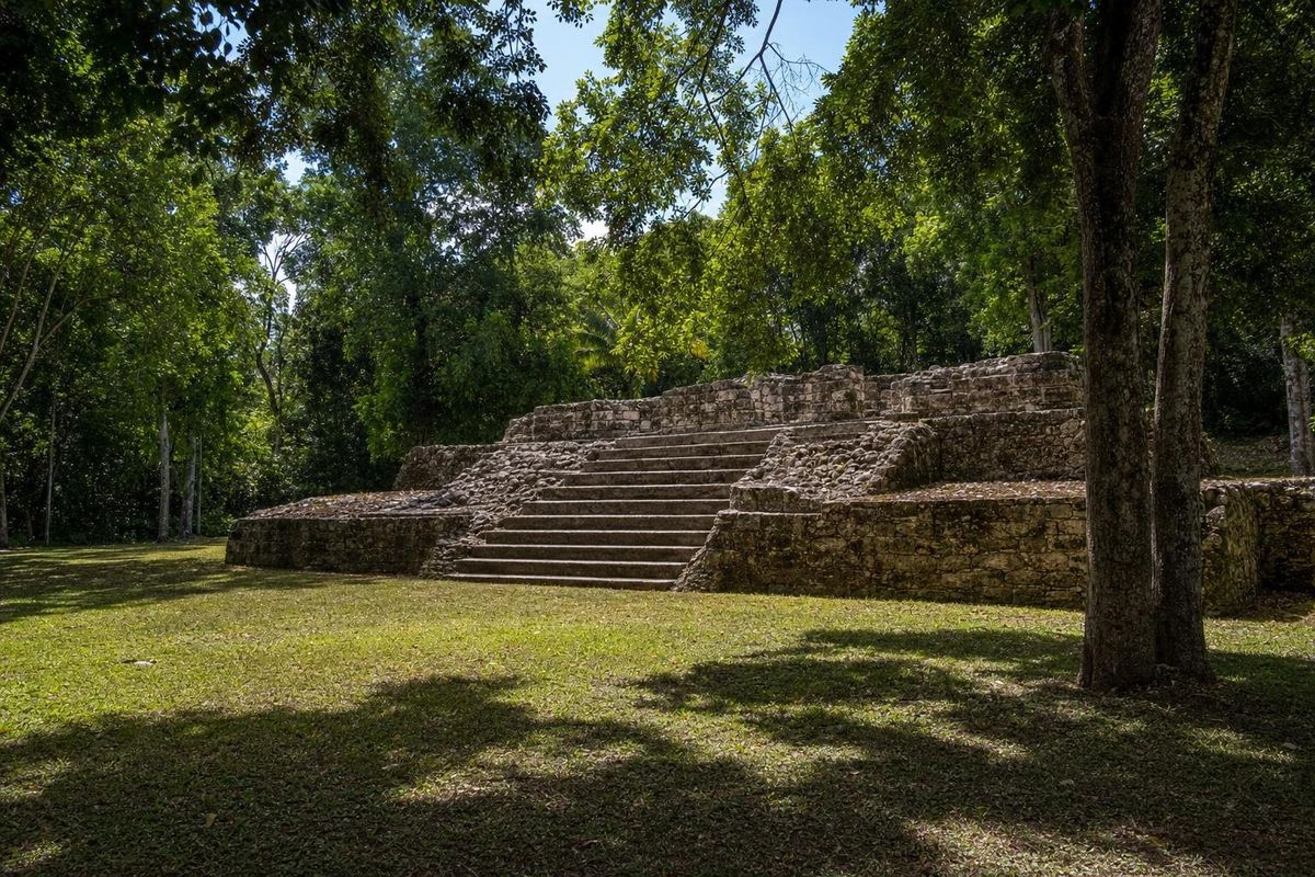
AI-generated image Maya Ruins · Quintana Roo
Oxtankah
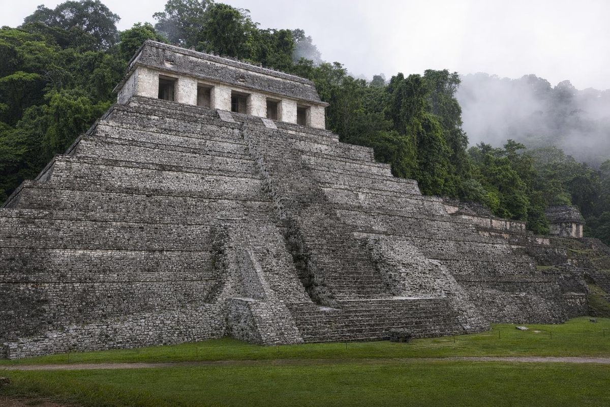
AI-generated image Maya Ruins · Chiapas
Palenque
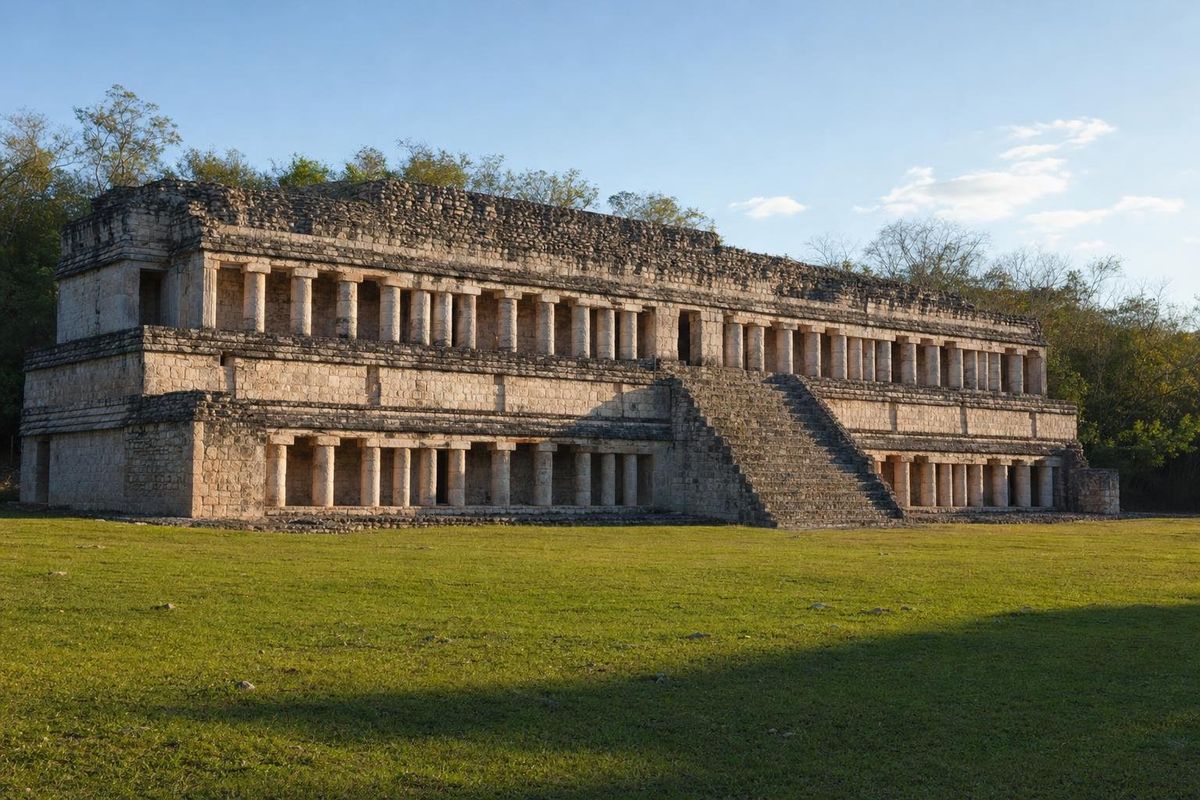
AI-generated image Maya Ruins · Yucatán
Sayil
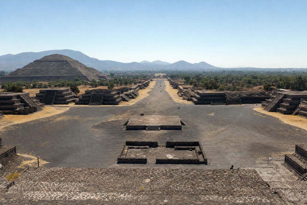
AI-generated image Maya Ruins · State of Mexico
Teotihuacán
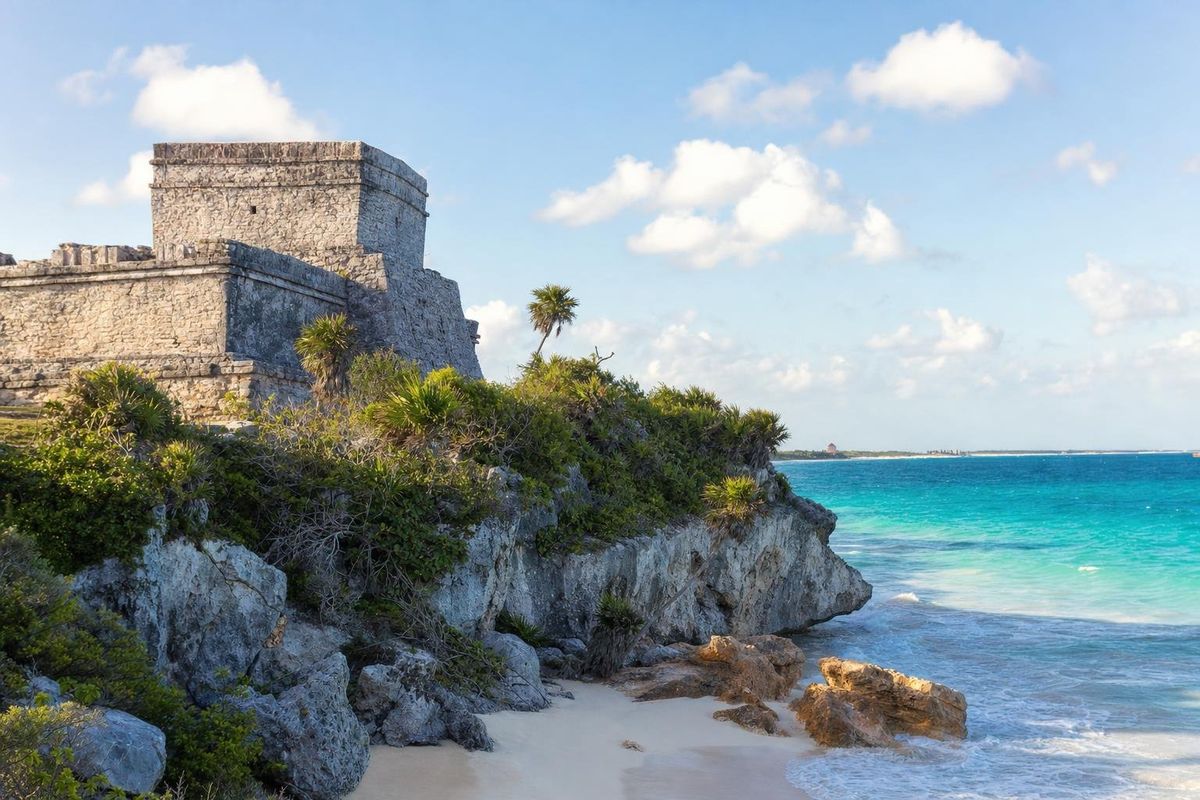
AI-generated image Maya Ruins · Quintana Roo
Tulum Ruins
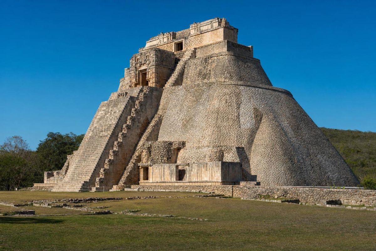
AI-generated image Maya Ruins · Yucatán
Uxmal
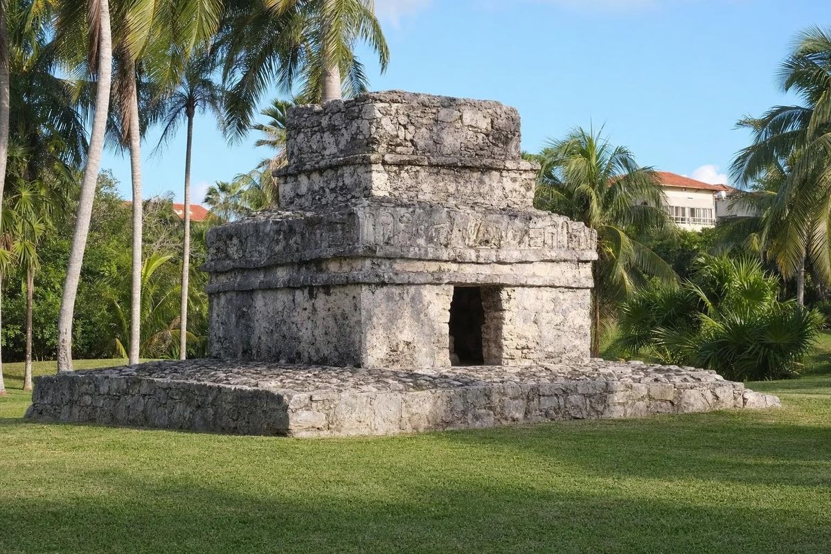
AI-generated image Maya Ruins · Quintana Roo
Xaman Há
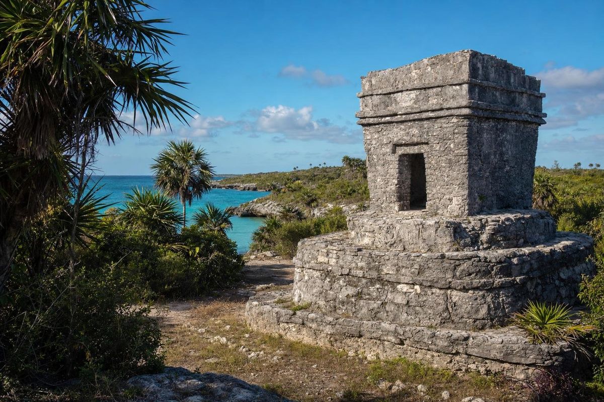
AI-generated image Maya Ruins · Quintana Roo
Xcaret (P'olé)
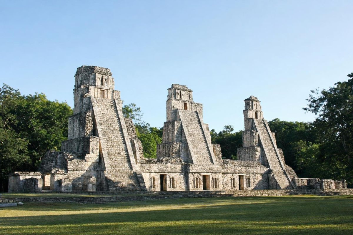
AI-generated image Maya Ruins · Campeche
Xpuhil
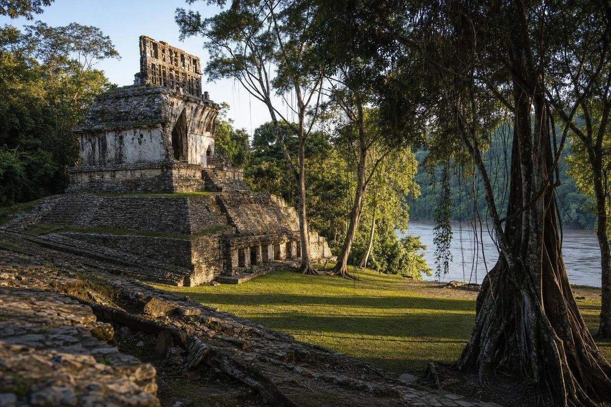
AI-generated image Maya Ruins · Chiapas
Yaxchilán
Pinch or use + to zoom, drag to move
 AI
Tap a point
The peninsula
Every point is a guide: beaches and cenotes in mint, ruins in white, mysteries in pale green.
A timeline in four periods
Archaeologists divide Maya history into broad periods. The Preclassic, from roughly 1000 BC to AD 250, saw the first villages grow into towns with plazas and large platforms; early masonry is still visible under later buildings at sites such as Acanceh and Dzibilchaltún. Some Preclassic cities in the far south, like El Mirador in Guatemala, were already enormous. Painted stucco masks on early temple fronts, some of them taller than a person, are a hallmark of this time.
The Classic period, about AD 250 to 900, is the age of carved stelae, dated inscriptions and rival dynasties. Calakmul, seat of the Snake dynasty, fought Tikal for dominance across the southern lowlands for much of the period. The Terminal Classic, from around 800 to 1000, brought the decline of the southern cities and a late flowering in the north, in the Puuc hills and at Chichén Itzá. The Postclassic, from about 1000 to the Spanish conquest, belonged to Mayapán and later to small coastal towns such as Tulum and the shrines of Cozumel.
Four building styles
Regional styles help place a ruin at a glance. Petén style, named after the forest region of northern Guatemala, means steep pyramid temples with a roof comb on top, set around plazas; it shows up on the southern edge of the peninsula at Calakmul and Kohunlich. Río Bec, in southern Campeche and Quintana Roo, built false towers: rounded corners and solid stairways too steep to climb, crowned by mock temples, as at Xpuhil.
Chenes, centered in northern Campeche at sites like Hochob, framed doorways as the open jaws of a monster, the whole façade turned into a mask. Puuc, in the hills south of Mérida, is the most refined: a plain lower wall, then an upper frieze of cut-stone mosaic with lattices, columns and stacked masks of the long-nosed rain god Chaak. Sayil and Labná are the classic examples, with Uxmal as the grandest.
Visiting the sites
Archaeological zones in Mexico are federal property managed by INAH, the national institute of anthropology and history, which publishes official information on each site through its website. Larger sites may also charge a separate state fee. Entry prices, opening hours and climbing rules change, and climbing is now forbidden on most major pyramids, so check before travelling.
Early morning is the best time almost everywhere: cooler, quieter, and the light is low enough to bring out relief carving. Bring water, a hat and insect repellent for forest sites, and allow far more time than expected for the remote ones; the road into Calakmul alone takes well over an hour from the highway. Licensed guides wait at the entrances of the bigger zones. Drones and tripods usually need a permit.
Beyond the peninsula, the ruins section also covers sites that shaped or traded with the Maya: Teotihuacan near Mexico City, Monte Albán and Mitla in Oaxaca, and Cempoala on the Veracruz coast. Their builders spoke other languages, but goods, ideas and images moved between them for centuries, which is why a Teotihuacan symbol can turn up on a Maya stela.
More ruins near the coast
Smaller sites are spread along the Caribbean coast and inland. San Miguelito sits inside Cancún's hotel zone next to the Maya Museum. Cobá, between Tulum and Valladolid, is a large city in the forest with long raised white roads, sacbeob (singular sacbé), and one of the tallest pyramids on the peninsula. Xel-Há has a small group of ruins with painted traces across the highway from the park of the same name. Kinichná, near Kohunlich and Dzibanché, is a stepped acropolis whose name means "house of the sun", and Xcambó, on the Gulf coast near Progreso, was a salt-trading port.
Questions about Maya ruins
Which Maya ruins are the most important in Yucatán?
Chichén Itzá, Uxmal and Calakmul are the best known and all three are World Heritage sites. Ek' Balam, Mayapán and the Puuc sites are smaller and often far quieter.
Can you still climb the pyramids?
Rarely. Climbing has been closed at most major structures, including at Chichén Itzá and Cobá. Rules change, so check locally.
What is the Puuc style?
An architectural style of the Puuc hills south of Mérida, with plain lower walls and elaborate stone mosaic friezes, often with masks of the rain god Chaak.
What does INAH do?
The National Institute of Anthropology and History protects, researches and manages Mexico's archaeological zones and many of its museums.
When did the Maya cities collapse?
The southern lowland cities declined in the ninth and tenth centuries. The north kept going much longer, and Maya towns were still active when the Spanish arrived in the sixteenth century.