
−5 m · Shallows · Towns & Villages · Quintana Roo
Akumal Ruins, Village and Turtle Bay on Mexico's Riviera Maya
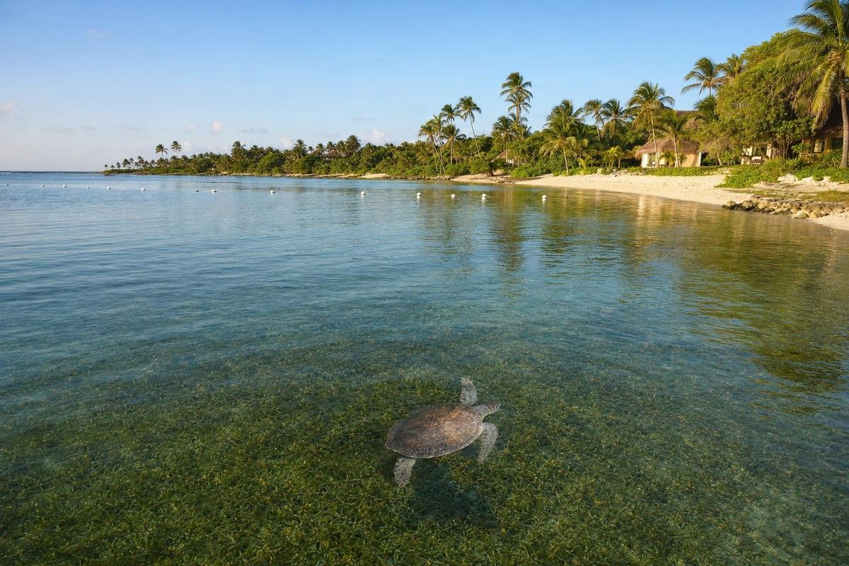
Akumal is a small coastal community on the Riviera Maya, about 35 kilometers south of Playa del Carmen and 25 kilometers north of Tulum, best known for the green turtles that feed in its bay. Akumal ruins are modest, a few small Maya structures in the forest, but the restored sites of Xel-Há and Tulum are a short drive away, and the village across the highway gives a different picture of how the coast lives.
The place of the turtles
In Yucatec Maya, Akumal is usually translated as "place of the turtles", and the name still fits. Green turtles graze on the sea grass meadows of Akumal Bay all year, surfacing every few minutes to breathe. Most are juveniles and young adults that live here for years before moving on, unlike the nesting females that come ashore on the beaches in summer.
The bay is shallow, sheltered by the reef and lined with palms, low hotels and condominiums. On a calm morning you can watch turtles from the water's edge.
That accessibility brought crowds. By the 2010s hundreds of snorkellers a day were swimming in the bay, and turtles were being touched, chased and stood over. In response, federal authorities designated the bay a refuge for marine species in the mid-2010s, and access to the turtle area is now regulated: designated zones marked with buoys, life vests required, groups led by certified guides, and limits on how many people can be in the water. The details are adjusted from time to time, so ask locally about the current rules before swimming.
Snorkelling in Akumal Bay
If you swim with the turtles, keep at least a few meters away, never touch or feed them, do not block their path to the surface and do not use fins over the sea grass where they feed, since stirred-up sand clouds the water. Use reef-safe sunscreen or a rash guard; the bay is shallow and enclosed, and sunscreen residue builds up.
Besides turtles, look for southern stingrays, barracuda, parrotfish over the coral patches and the occasional eagle ray. The reef at the mouth of the bay is home to more fish, but currents increase there and boat traffic passes through the channel.
Half Moon Bay and the lagoon
North of the main bay, Half Moon Bay (Bahía Media Luna) curves past rows of villas and condominiums. At its northern end is Yal-Kú, a rocky inlet where fresh water from underground rivers mixes with the sea, creating clear, cool layers that attract a wide range of fish. It is managed as a small park with an entrance fee.
Divers, a shipwreck and a coconut plantation
Before tourism, Akumal was a coconut plantation, one of several along this coast where copra was harvested and shipped out by sea. Its modern history begins underwater. In the late 1950s, members of the Mexican diving club CEDAM, led by Pablo Bush Romero, used the bay as a base to explore and salvage a Spanish merchant ship that had sunk on the reef nearby in 1741, known as El Matancero. Cannons, coins, religious medallions and other finds from the wreck are now displayed in a small shipwreck museum in nearby Puerto Aventuras.
The divers' camp grew into a resort community in the following decades, one of the very first on what is now the Riviera Maya.
Akumal ruins and other Maya sites nearby
Small Maya structures, typical of the shrines and house platforms built along this coast in the Postclassic period, survive in the forest around Akumal. They are unexcavated, unsignposted and mostly on private or communal land, so they are not a visitor attraction.
For ruins worth a visit, go a few minutes south to the archaeological zone of Xel-Há, on the inland side of the highway opposite the water park of the same name. Its modest buildings include a structure with traces of painted birds and a cenote among the trees. Further south, the walled city of Tulum sits on cliffs above the sea, and Muyil lies in the Sian Ka'an forest beyond it. Inland, Cobá is about an hour's drive away.
Akumal village: the town across the highway
Akumal has two halves. The beach side, between the highway and the sea, is mostly hotels, villas and condominiums. On the inland side, the village of Akumal (often called Akumal Pueblo) is where many of the people who work on the coast live. It has small shops, taquerías, schools and a church, and it feels very different from the beach.
Walking through the village is the easiest way to see an ordinary Quintana Roo community away from the resorts. It is safe and friendly in daytime, prices for food are local, and there is nothing staged about it.
Getting to Akumal
Akumal is on Highway 307, signed at its own exit. From Playa del Carmen the drive takes about thirty-five to forty minutes; from Tulum about twenty-five. Colectivos between Playa del Carmen and Tulum stop at the Akumal junction, and the beach is a short walk from there through the arch at the entrance to the beach side. The village lies on the opposite side of the highway.
The main public beach access is next to the entrance. Parking near the beach is limited and usually paid; check current arrangements on arrival.
When to go and practical notes
Turtles are in the bay all year, so any season works for snorkelling. December to April brings dry weather and clearer water; summer is hotter, and turtle nesting on Akumal's beaches peaks between about May and September. Sargassum can affect the bay in heavy years between about April and October. Hurricane season runs from June to November.
- Arrive early: the bay is calmest and least crowded in the morning.
- Bring cash for small purchases in the village.
- Do not walk on nesting areas marked on the beach.
Akumal combines well with the protected beach at Xcacel, a few minutes south, and the quiet cove at Paamul to the north. More towns and villages are listed in the towns and villages section.
Turtles in the bay often rest on the bottom between breaths, so a still sand patch may turn out to have a shell on it.
Akumal: questions and answers
Are there Maya ruins in Akumal?
Only small, unexcavated structures in the surrounding forest, which are not open as a site. The nearest ruins to visit are Xel-Há just south and Tulum about twenty-five minutes away.
Can you swim with turtles in Akumal?
Yes, but under regulations: designated zones, life vests and certified guides are generally required in the turtle area. Rules change, so check locally before swimming.
What does Akumal mean?
It is a Yucatec Maya name usually translated as "place of the turtles".
Is there a public beach in Akumal?
Yes. Mexican beaches are federal property, and there is public access to Akumal Bay next to the main entrance on the beach side of the highway.
What is Akumal village?
The residential community on the inland side of Highway 307, where many people working on the coast live. It has local shops and small restaurants.
How far is Akumal from Tulum?
About twenty-five kilometers, roughly twenty-five minutes by car along Highway 307.
Nearby on the map
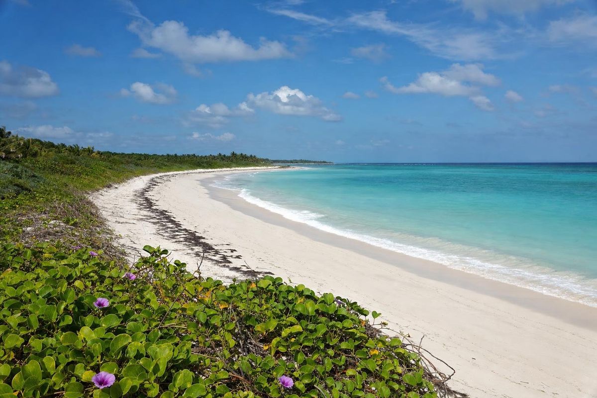
AI-generated image Beaches · Quintana Roo
Xcacel
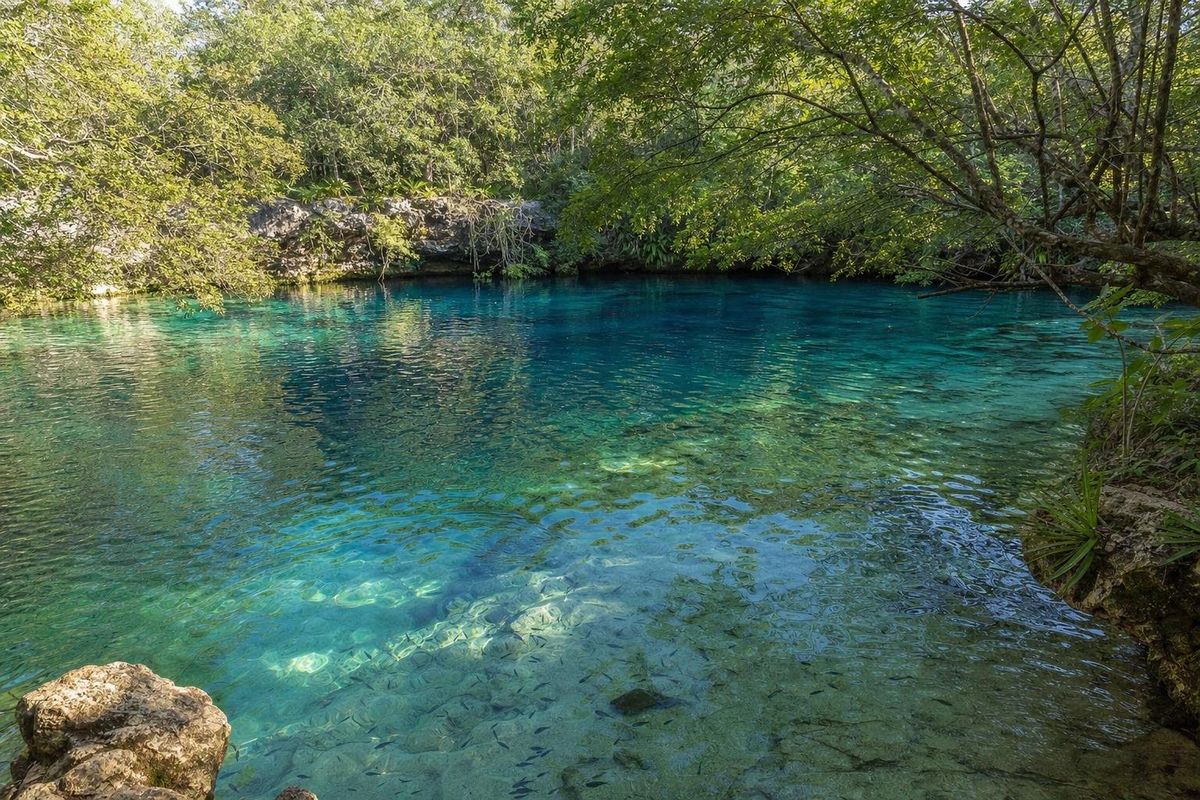
AI-generated image Cenotes · Quintana Roo
Cenote Azul
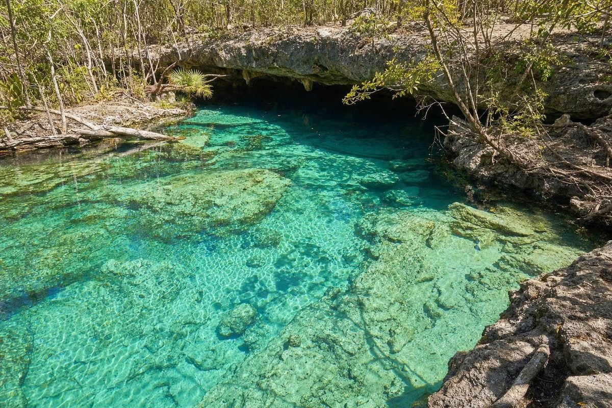
AI-generated image Cenotes · Quintana Roo
Cristalino
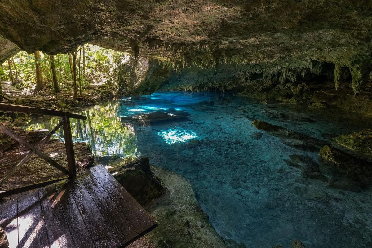
AI-generated image Cenotes · Quintana Roo
Dos Ojos