
−5 m · Shallows · Cenotes · Quintana Roo
Cenote 7 Bocas (Siete Bocas): Swimming Between Seven Cave Mouths
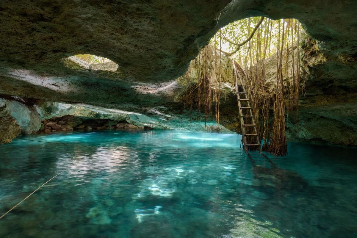
Cenote 7 Bocas, also called Cenote Siete Bocas, is a cave cenote on the Ruta de los Cenotes inland from Puerto Morelos whose roof is pierced by seven openings, the bocas or "mouths" of its name. Several of them connect underwater through the main cave, so swimmers can enter by one mouth and come up beneath another. The water is a striking turquoise, and the site is run on communal land by the families who live beside it.
How the seven mouths of Cenote 7 Bocas connect
Above ground, the openings look like separate cenotes: round holes in the jungle floor, each with its own ladder, platform or staircase, each labeled with a number. Below ground they belong to a single cave system. The main entrance leads down into a chamber where the water spreads out under a low ceiling, and from there passages run toward the other mouths, some wide, some low enough that the rock is only a short distance above the swimmer's head.
Not every mouth is open to swimmers. At least one has to be reached separately from the surface by climbing out and descending again, and some of the openings have been reserved for divers or closed to the public. One of the mouths is a round drop where confident visitors jump into the water from a height of several meters. Staff at the entrance explain which bocas are open on the day and how they connect; a painted map at reception helps.
Ropes run across the main pool and through the tunnels, so there is always something to hold. Life jackets have generally been included in the entry. Light from the open mouths reaches into the cave and turns the water a luminous blue in places, and when the sun is high, the beams through the roof are worth watching with a face in the water.
What there is to see underwater
Snorkelers see a lot here. The cave floor and walls are rich in limestone formations, stalactites hang in the drier sections of the roof and continue as submerged columns below the surface, and in the clear water the formations seem to float. Small fish are common.
Some visitors describe a milky cloud deep in the cenote, the kind of hydrogen sulfide layer that forms in some Yucatán cave systems where salt water meets fresh water and organic material decays. It is visible mainly to divers. Cavern diving with an accredited guide is the only way to see the deeper passages; claims about the cenote's total depth vary widely and cannot be confirmed from the surface.
Fossils of shells and corals are embedded in the rock, a reminder that the whole peninsula is old seabed lifted above sea level.
A village cenote on ejido land
Cenote Siete Bocas lies on ejido land, the communal property system that Mexico created after the Revolution of 1910 to return farmland to rural communities. The families who live on the site manage the cenote themselves, and the approach road passes their wooden houses, chicken runs and gardens. Turkeys and peacocks wander around the grounds. Turkeys have been kept in Maya villages for centuries; the peacocks are a later, ornamental addition.
The jungle park around the cenote is rustic: picnic tables under palapa roofs, hammocks, a small snack shop and a wooden lookout tower or two above the treetops. The forest is typical of the northern Yucatán, with sapodilla, ceiba and palms. Bathrooms and showers have been kept in better condition than at many rural cenotes, with murals painted by local artists.
Visits like this support the families directly, which makes it worth following the rules they set on the day.
Getting there from Puerto Morelos
From highway 307 at Puerto Morelos, turn west at the large sign for the Ruta de los Cenotes, the road toward Leona Vicario. Cenote 7 Bocas is signposted at around kilometer 15. From the main road an unpaved track of about 2 km leads through the village to the car park; it is passable in an ordinary car if driven slowly.
Public transport does not reach the cenote. Buses run along the cenote road only irregularly, and a stop at the turn-off would still leave a walk of about 2 km in the heat. Rental car, taxi from Puerto Morelos with an agreed return, or bicycle are the realistic options. Organized tours of the route sometimes include it, but it is simple to visit independently.
When to visit and practical notes
Midday brings the strongest light through the mouths. Weekends attract local families, which gives the place a friendly picnic atmosphere; weekdays are quieter. The dry months from about November to April are the most comfortable for the drive, while the rainy season brings heat and afternoon storms, and the hurricane season runs from June to November. The cave water itself stays clear and cool all year.
- Shower before swimming and use no sunscreen or repellent.
- Leave valuables in the car or with a companion at the picnic tables; staff have looked after car keys at reception.
- Water shoes help on ladders and wet steps.
- Bring cash in pesos; fees change and should be checked on arrival.
- A waterproof camera or phone pouch is worth carrying for the light in the cave.
Nearby on the route
The Ruta de los Cenotes is lined with swimming holes. Cenote Verde Lucero, a little further west, is an open green pool with jumps and a zipline, and Las Mojarras is a large lake-like cenote with an adventure park. Back on the coast, the reef off Puerto Morelos is a national marine park, and beaches such as Punta Maroma lie a short drive south. Every cenote covered on the site is listed on the cenotes page.
Cenote Siete Bocas: questions
Why is it called 7 Bocas?
Boca is Spanish for mouth. The cave has seven openings in its roof, and several of them connect underwater through the main chamber.
Can you swim between the mouths?
Yes, between those that connect, with ropes to hold along the way. Staff explain which mouths are open on the day.
Is Cenote 7 Bocas suitable for beginners?
For confident swimmers, yes, with a life jacket. Some passages are low and the water is deep, so it is less suited to anyone uneasy in caves.
Can you dive at Siete Bocas?
Cavern diving is possible with an accredited guide, who will know which passages are open to divers.
How far is it from Puerto Morelos?
About 15 km inland on the Ruta de los Cenotes, then roughly 2 km on a dirt track through the village.
Nearby on the map
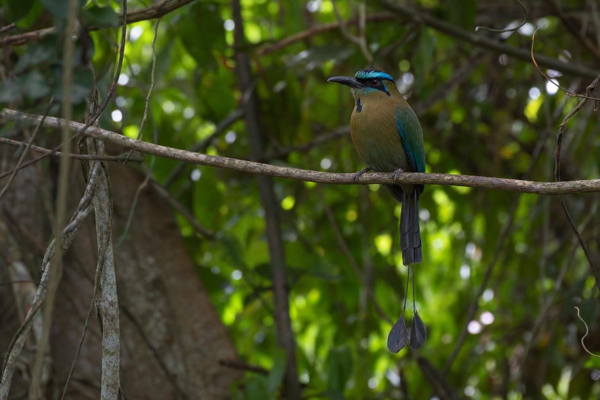
AI-generated image Jungles · Quintana Roo
Reserva Toh
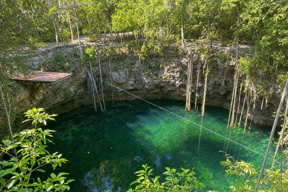
AI-generated image Cenotes · Quintana Roo
Verde Lucero
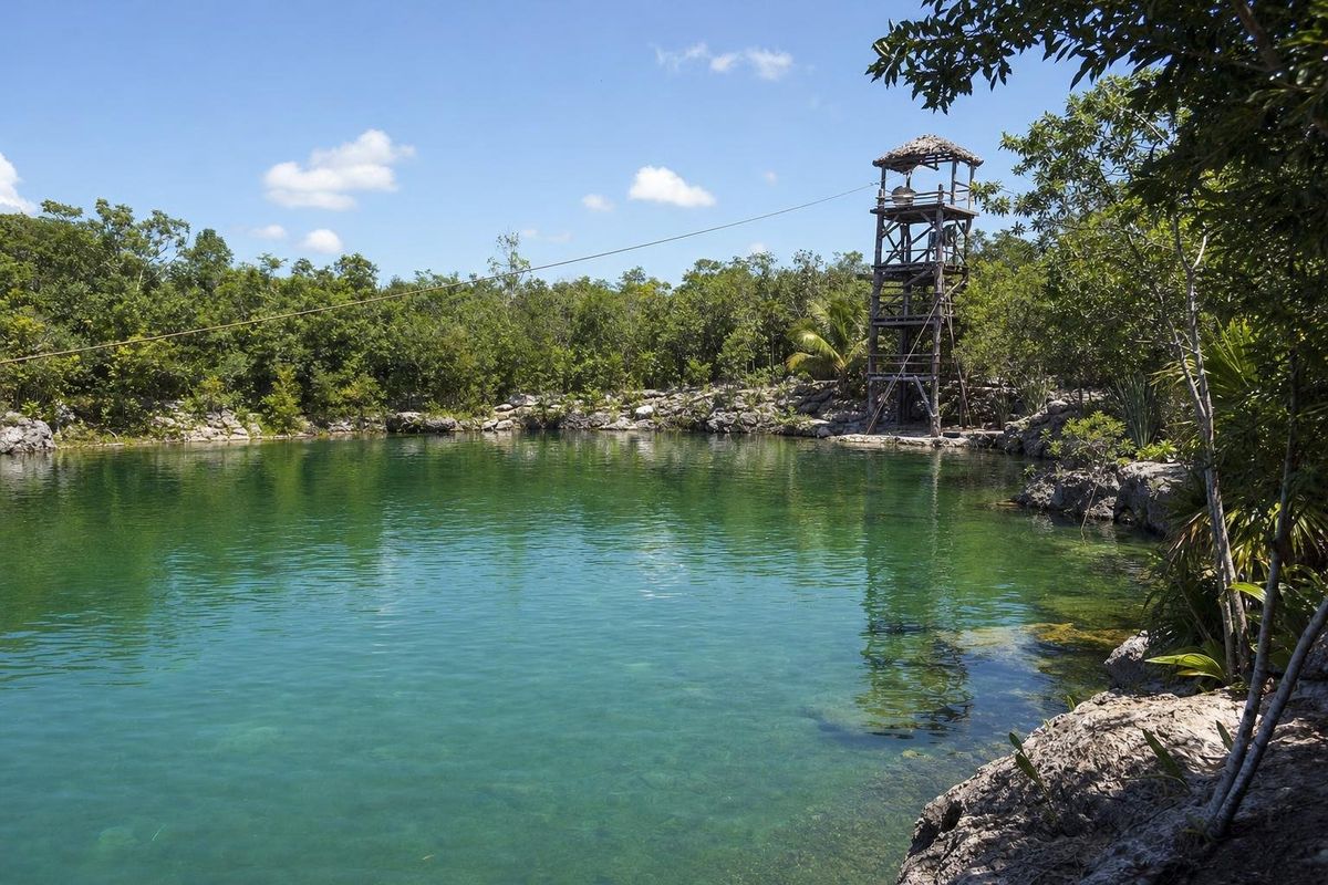
AI-generated image Cenotes · Quintana Roo
Las Mojarras
AI-generated image Beaches · Quintana Roo
Punta Maroma