
−5 m · Shallows · Beaches · Quintana Roo
Maroma Beach and Punta Maroma, Between Puerto Morelos and Playa
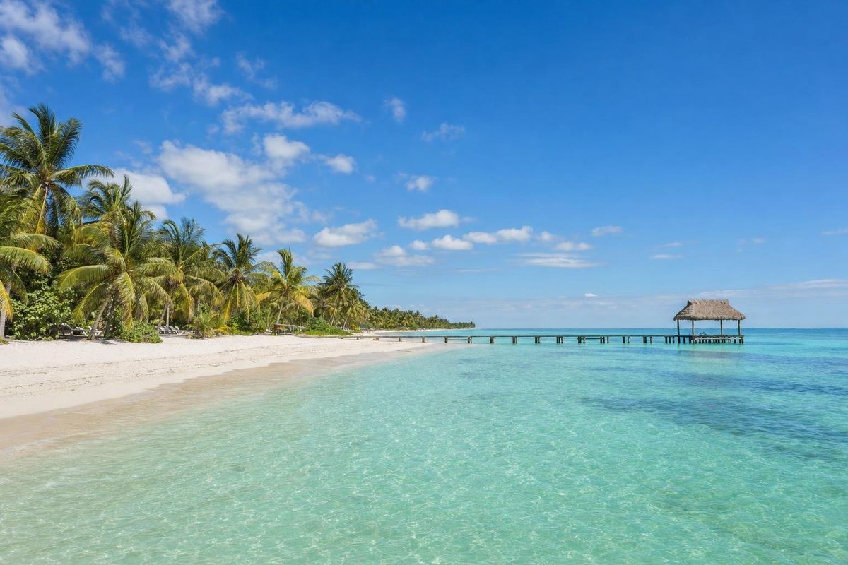
Maroma Beach is a long arc of fine coral sand on the Riviera Maya, about halfway between Puerto Morelos and Playa del Carmen, and Punta Maroma is the low point at its southern end. The shore is federal and open to the public, but the land behind it is private, so most day visitors come in through a beach club off Highway 307.
What makes Maroma Beach different
Plenty of beaches on this coast are pretty. Maroma stands out for the texture of its sand. It is ground from coral and shell so fine that it feels almost like flour, and because it reflects rather than absorbs the sun, it stays cool enough to walk on barefoot at midday. The water over the sandy shelf is shallow and pale, shading to turquoise and then to a dark line where the reef runs offshore.
The coastline here forms two shallow bays separated by a gentle bend. Punta Maroma closes the southern bay. Resort hotels hold most of the frontage, yet long stretches of shore stay quiet, particularly at the northern end, where the planted palms give way to a fringe of jungle.
Weekends bring families from Cancún and Playa del Carmen who stake out the shade early and stay for a long lunch. On weekdays the beach can feel nearly empty.
A short history of the Maroma coast
The Maya lived along this shore long before the Spanish arrived, trading by canoe along the coast between ports such as Xcaret and the island of Cozumel. No major ruins stand at Maroma itself, and its original Maya name does not seem to have survived. After the conquest, epidemics of smallpox and other diseases emptied much of the coast, and the forest closed in again.
The modern name is Spanish. A maroma is a rope, and in Mexico the word also means a somersault or an acrobatic stunt; nobody seems to know why it stuck to this beach.
Until the 1970s there was little here besides a coconut plantation, with dense jungle between the coast and the road and the sea as the easiest way in. The usual account is that an architect working on the new Cancún hotel zone spotted the beach from a small plane in the mid-1970s, bought the plantation, kept harvesting coconuts for oil, and later opened one of the first small luxury hotels on the Riviera Maya here. Several resorts followed, and the coast between the highway and the sea filled in during the following decades.
Getting onto the sand: how public access works
Mexican law makes the shoreline federal property, and anyone may walk it. The catch is the land behind. At Maroma, every route from the highway crosses private property, and the practical public entrance is a beach club with a gated access road. Expect an entry charge at the gate, which usually covers shade, loungers, showers and bathrooms. The amount changes, so check it on arrival rather than relying on old figures.
Once on the beach, you can walk the shoreline in either direction. The hotel strips are walkable at the water's edge, but their loungers, bars and pools are reserved for guests.
Things to do at Maroma
Walk the bays
The best free activity is walking. Heading north from the boat piers, the beach becomes progressively wilder, with jungle behind the dune and stretches where you may be alone. Keep going to the bend in the bay and the next cove opens up, also part of Maroma.
Snorkel the reef
The Mesoamerican Reef runs offshore, and snorkelling trips leave from the piers along the beach. The reef here is far enough out that a boat is the sensible way to reach it. Look for parrotfish, sergeant majors, blue tang and, with luck, a turtle or a spotted eagle ray.
Other water sports
Kayaks, paddleboards, sailing and deep-sea fishing are usually available on the beach. Inland, jungle ATV tours run on dirt tracks. Some operators on this stretch also keep dolphins in pools and other captive animals for tourist encounters; animal-welfare groups have long criticized such programs, and many travellers skip them.
Driving to Maroma Beach
Maroma lies off Highway 307 at around kilometer 55, counting south from Cancún. That puts it roughly twenty-five minutes north of Playa del Carmen and about forty-five minutes south of Cancún airport, traffic permitting. The turn-off is signed for the Maroma resort area; look for a large roadside souvenir building near the junction, then an arched gate on the access road. Drivers coming from the south may need to pass the turn and use the next return point.
There is no public bus to the beach itself. Colectivos along the highway will drop you at the junction, but the walk in is long, so a car or taxi is easier.
Seaweed, seasons and timing
December to April is the classic season: dry, breezy and clear. Sargassum can arrive in quantity between about April and October in bad years. Some resorts on this stretch have installed barriers in the water and rake the sand every morning, which helps, but no beach on this coast is guaranteed clean in a heavy year. Hurricane season runs from June to November.
Arrive in the morning on weekends and holidays if you want a palapa. On weekdays outside Mexican school holidays there is space to spare.
Practical notes
Bring reef-safe sunscreen or a rash guard, cash for the gate in case cards are not accepted, and something to drink for the long walk north, where there are no services. The seaweed the club rakes up is often stockpiled behind the beach, where it gradually breaks down.
Maroma pairs well with a quieter stop nearby. Bahía Petempich, closer to Puerto Morelos, has calm water behind a protected reef. Further south, the beach at Xcalacoco and the town beach at Punta Esmeralda sit on the northern edge of Playa del Carmen. All of them appear in the beaches section.
At the far end of the walk north, the remains of an abandoned hotel complex sit in the trees, slowly being reclaimed by vines.
Maroma Beach questions
Is Maroma Beach public?
The shoreline is federal and open to everyone, but the land behind it is private. Day visitors generally enter through a beach club with a gated road and pay an entry charge.
Where is Punta Maroma?
Punta Maroma is the southern point of Maroma Beach, off Highway 307 at about kilometer 55 south of Cancún, between Puerto Morelos and Playa del Carmen.
Why is the sand at Maroma so soft?
It is made of very finely ground coral and shell. The pale grains reflect sunlight, so the sand stays cool underfoot even in the middle of the day.
Can you snorkel from the beach?
The reef lies some way offshore, so most people join a boat trip from one of the piers. Close to shore the bottom is mostly sand and sea grass.
Does Maroma get sargassum?
Yes, like the rest of the Riviera Maya, mainly between about April and October in heavy years. Barriers and daily raking keep parts of the beach cleaner than others.
Nearby on the map
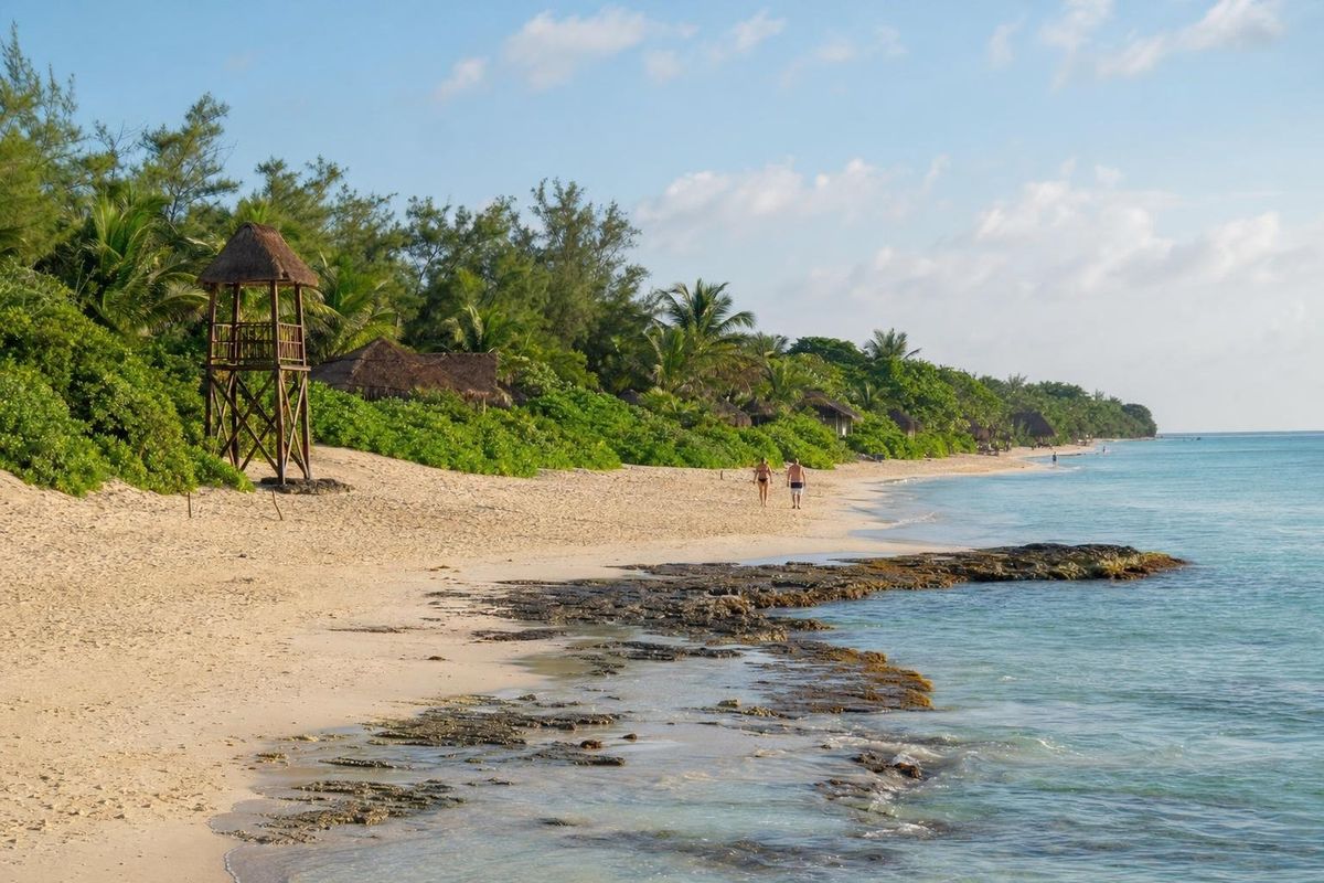
AI-generated image Beaches · Quintana Roo
Xcalacoco
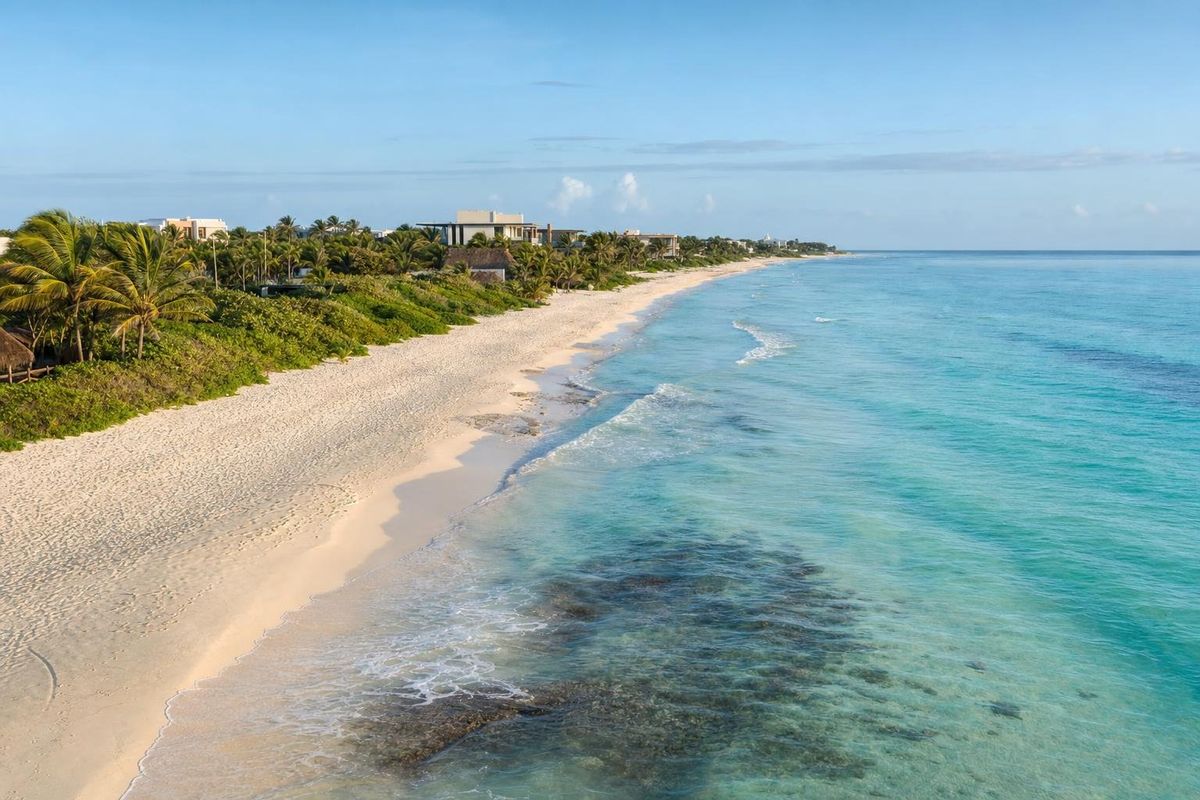
AI-generated image Beaches · Quintana Roo
Grand Coral
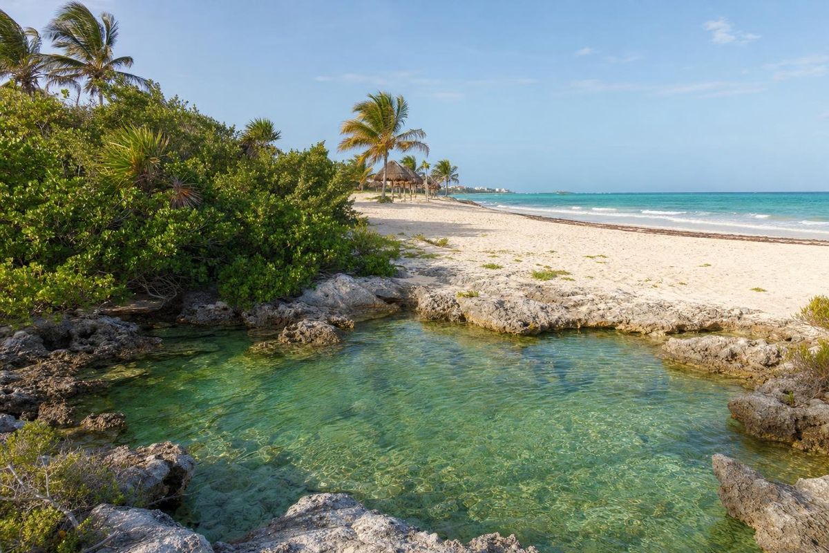
AI-generated image Beaches · Quintana Roo
Punta Esmeralda
AI-generated image Cenotes · Quintana Roo
Las Mojarras