
−5 m · Shallows · Towns & Villages · Quintana Roo
Calderitas, Quintana Roo: the Fishing Village on Chetumal Bay
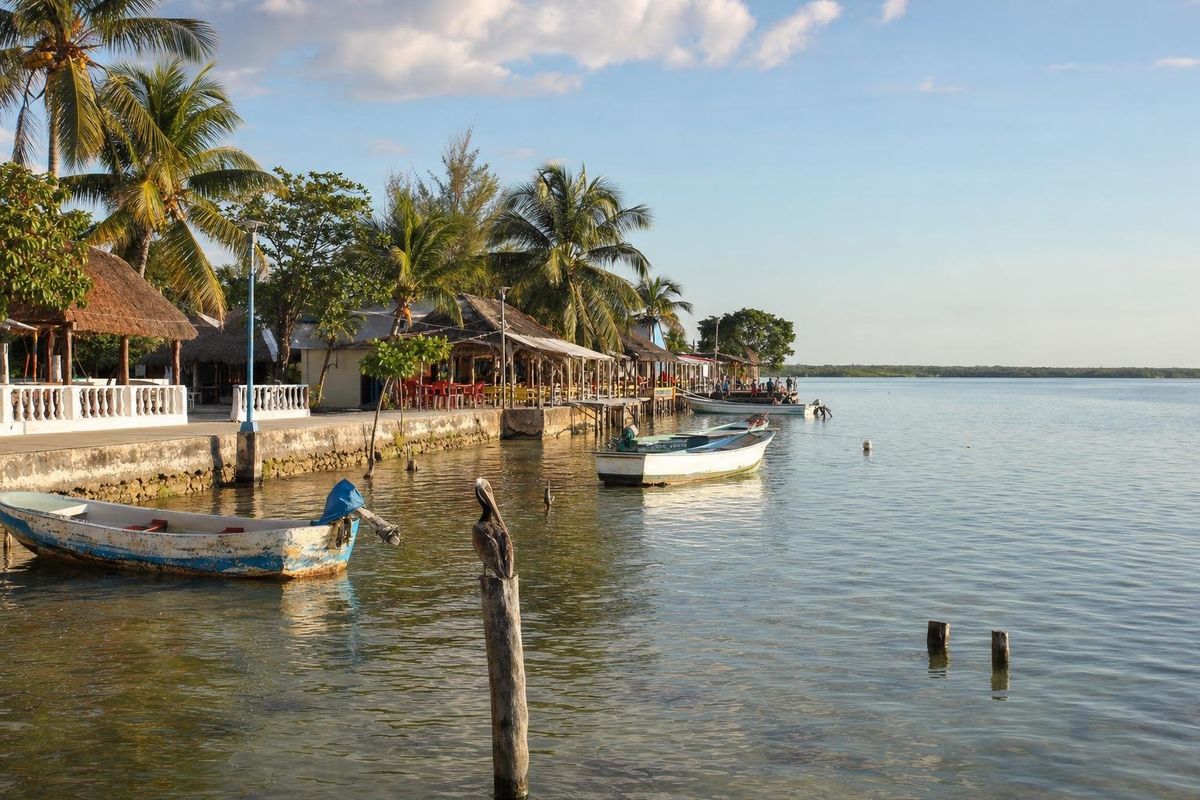
Calderitas is a fishing village on the western shore of Chetumal Bay, about 8 km north of downtown Chetumal, the capital of Quintana Roo. It has no Caribbean beach and no turquoise water: what it has is a long seafront lined with simple fish restaurants, calm brackish water where manatees still feed, and the Maya ruins of Oxtankah a short drive up the road. For people from Chetumal it is the place to go for a long seafood lunch on a Sunday.
A village on the bay, not the sea
Chetumal Bay is a large, shallow body of water enclosed by the mainland on the west and the long Xcalak peninsula on the east, opening to the Caribbean only to the south, where it meets Belize. Rivers, among them the Río Hondo that forms the border with Belize, feed fresh water into it, and the result is a bay that is brackish, warm and usually greenish-brown rather than blue. The shoreline is fringed with mangroves for much of its length.
Calderitas grew up as a fishing settlement on this shore and was absorbed into Chetumal's orbit as the city expanded. It remains a separate village with its own church, plaza and grid of quiet streets, and a population that still includes families who fish the bay. Expect low concrete houses, bicycles, dogs asleep in the shade and a seawall where children jump into the water on hot afternoons.
Anyone hoping for a Caribbean beach in the Riviera Maya sense will be disappointed, and it is better to know that in advance. The appeal of Calderitas is the bay itself: wide, flat water, pelicans on every post and sunsets over the mangroves.
What to do in Calderitas
Eat fish by the water
The waterfront road is lined with open-sided restaurants, many of them built on piers over the water, that serve the local repertoire: ceviche, fried whole fish, shrimp in garlic, seafood cocktails and the conch dishes the coast is known for in season. On weekends and holidays families from Chetumal fill them from midday into the late afternoon. On weekdays the same places can be almost empty. Prices and menus change, and some places open only part of the week, so it is worth strolling the front before choosing.
Watch for manatees
The bay is one of the most important habitats in Mexico for the Antillean manatee, a subspecies of the West Indian manatee, and a large part of it is protected as a state manatee sanctuary. The animals graze on seagrass in the shallows and around the mangrove creeks, surfacing quietly to breathe. Sightings from the shore are a matter of luck. Local fishermen sometimes offer boat outings onto the bay, and responsible operators keep their distance, cut the engine near the animals and never chase them. Any boat trip that promises touching or swimming with manatees should be avoided.
Cross to Tamalcab
Offshore from Calderitas lies the small island of Tamalcab, low and wooded, which boats from the village can reach in a short crossing. Visits depend on the boatmen and on the weather, so ask along the waterfront rather than expecting a regular service. The crossing itself is the pleasure: flat water, frigatebirds overhead and the outline of Chetumal behind you.
Swim, carefully
Locals swim off the seawall and at small access points along the shore, especially at weekends. The water is shallow, warm and murky, with soft mud and seagrass in places, so it suits a cool-off rather than serious swimming or snorkeling. Check with locals before jumping in where you cannot see the bottom.
Oxtankah and the Maya past of the bay
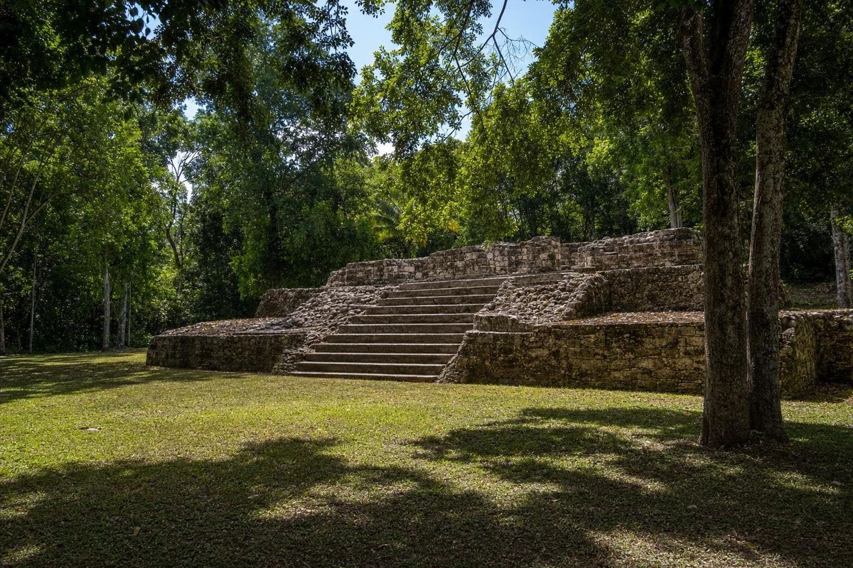
A few kilometers north of the village, inside forest a short way off the coast road, lies the archaeological site of Oxtankah. Its plazas, platforms and small temple mounds date mainly to the Early Classic period, and the site appears to have been an important settlement on the bay, linked to trade along the coast. Unusually, it also has the remains of an early Spanish chapel, a reminder that this shore was one of the first places in the region where Spanish and Maya worlds met.
Chetumal Bay plays a part in one of the best-known stories of the conquest. Gonzalo Guerrero, a Spanish sailor shipwrecked on the Yucatán coast in 1511, ended up living among the Maya of Chactemal (the Maya province from which Chetumal takes its name), married into a local family and is said to have fought against the Spanish later. Historians treat many details of his life as uncertain, but he is a local figure of pride, and statues of him and his family appear in the region. Oxtankah is often linked to his story, though the connection is traditional rather than proven.
Oxtankah is small and rarely busy, which makes it an easy morning visit before lunch on the bay. INAH, which manages the site, publishes current visiting details.
Getting to Calderitas
From the center of Chetumal the drive north along the bay road takes about fifteen minutes. The road follows the shore much of the way, and the waterfront in Chetumal city leads into it, so it is also a popular bicycle route. Colectivos and city buses run between Chetumal and Calderitas, and taxis are easy to find in the city.
Chetumal itself is reached by Highway 186 from the west, by Highway 307 from Cancún and Tulum in the north, by air through its airport, and by the Tren Maya. From Bacalar, about 40 km to the north, Calderitas makes an easy half-day trip, and from Mahahual on the Costa Maya it is roughly two hours by road.
When to go
The dry months from December to April are the most comfortable, with breezes off the bay and fewer mosquitoes. From May the heat and humidity build and afternoon storms become frequent; this is also the start of the hurricane season, which runs from June to November. Because the bay is sheltered, Calderitas is not affected by sargassum in the way the open Caribbean coast often is.
For the full local atmosphere, come on a Sunday around lunchtime. For quiet, come on a weekday afternoon and stay for the sunset, when the light turns the bay copper and the fishing boats come back in.
Practical notes
- Bring repellent: sand flies and mosquitoes are active near the mangroves at dusk.
- Cash is useful in the small restaurants; ATMs are easier to find in Chetumal.
- Manatees are protected by law. Keep your distance, never feed them and never touch them.
- Calderitas has a campground and a few simple places to stay, but most visitors base themselves in Chetumal or Bacalar.
Pair the village with Chetumal's Museum of Maya Culture and its long waterfront boulevard, or with the stucco masks of Kohunlich and the temples of Dzibanché inland. More villages of the peninsula are collected under towns and villages; information on Oxtankah is published by INAH.
Calderitas questions
Where is Calderitas?
Calderitas is on the western shore of Chetumal Bay in southern Quintana Roo, Mexico, about 8 km north of downtown Chetumal.
Does Calderitas have a beach?
Not a Caribbean-style one. The village faces the shallow, brackish water of Chetumal Bay, with a seawall and a few small access points where locals swim. The water is usually greenish-brown rather than turquoise.
Can you see manatees at Calderitas?
Sometimes. Chetumal Bay is a protected manatee habitat, and the animals feed in its shallows, but sightings are never guaranteed. Choose boat outings that keep a respectful distance.
How do you get from Chetumal to Calderitas?
By car or taxi it is about fifteen minutes along the bay road. Colectivos and city buses also run between the two, and many people cycle the waterfront route.
What ruins are near Calderitas?
Oxtankah lies a few kilometers north of the village. It is a small, quiet Maya site from the Early Classic period with the remains of an early Spanish chapel.
Nearby on the map
AI-generated image Maya Ruins · Quintana Roo
Oxtankah
AI-generated image Lakes & Rivers · Quintana Roo
Bacalar
AI-generated image Maya Ruins · Quintana Roo
Chacchoben
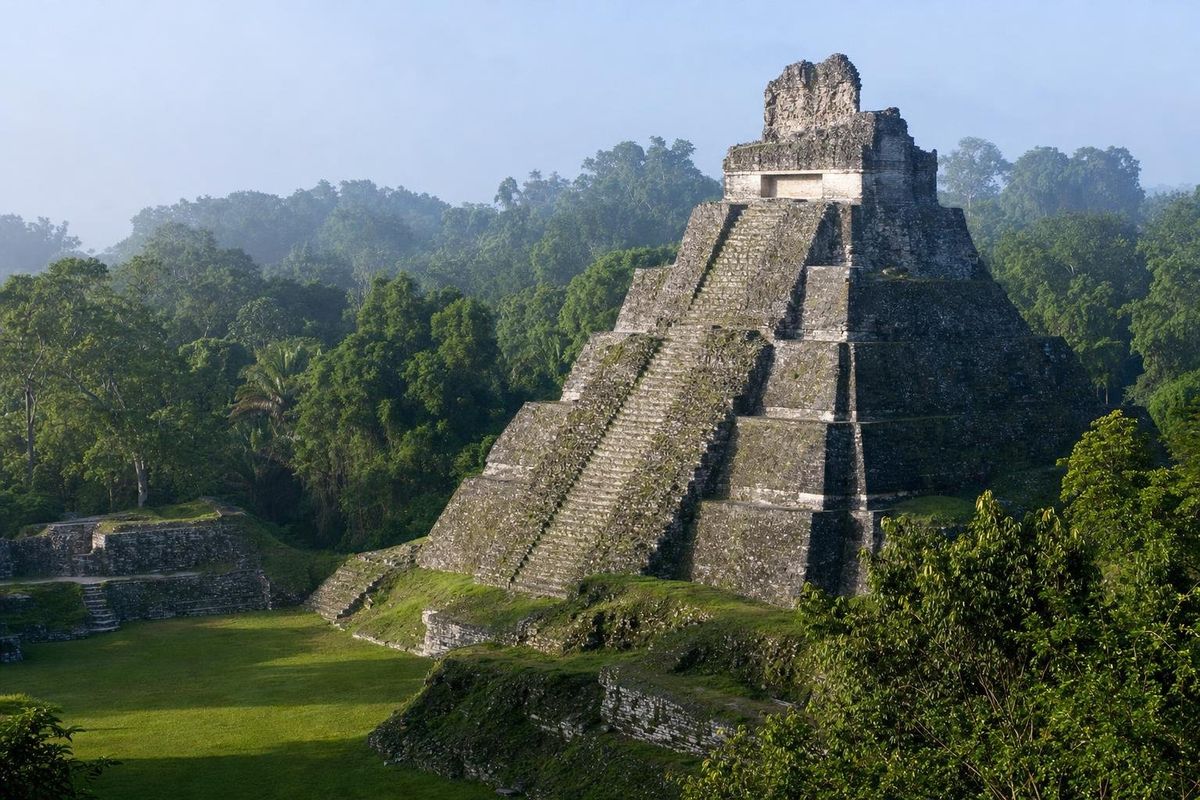
AI-generated image Maya Ruins · Quintana Roo
Dzibanché