
−12 m · Cenotes
Cenotes of Yucatán: Open, Semi-Open and Cave Cenotes Explained
A cenote is a window into the groundwater that runs beneath the whole peninsula. Thousands of them dot the limestone, from roadside pools to caverns reached by a ladder.
Every guide in Cenotes
AI-generated image Cenotes · Quintana Roo
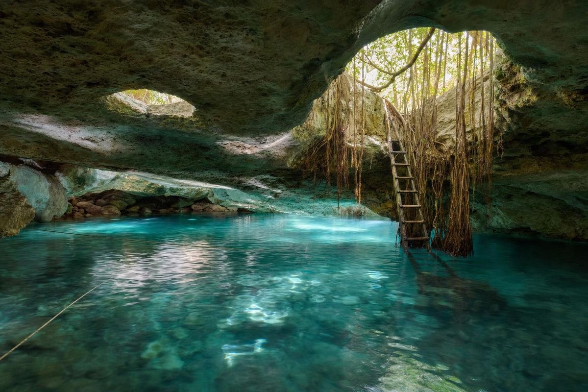
7 Bocas
AI-generated image Cenotes · Quintana Roo
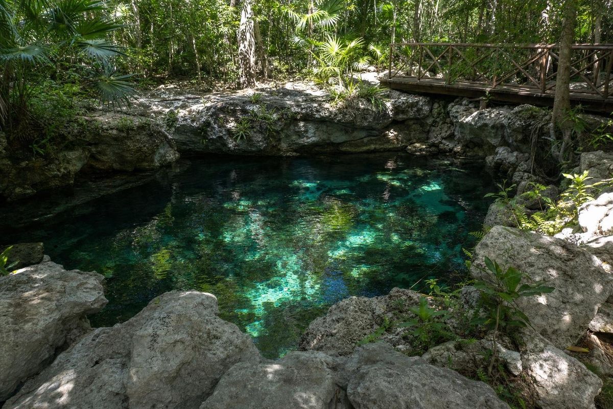
Caleta Tankah
AI-generated image Cenotes · Quintana Roo
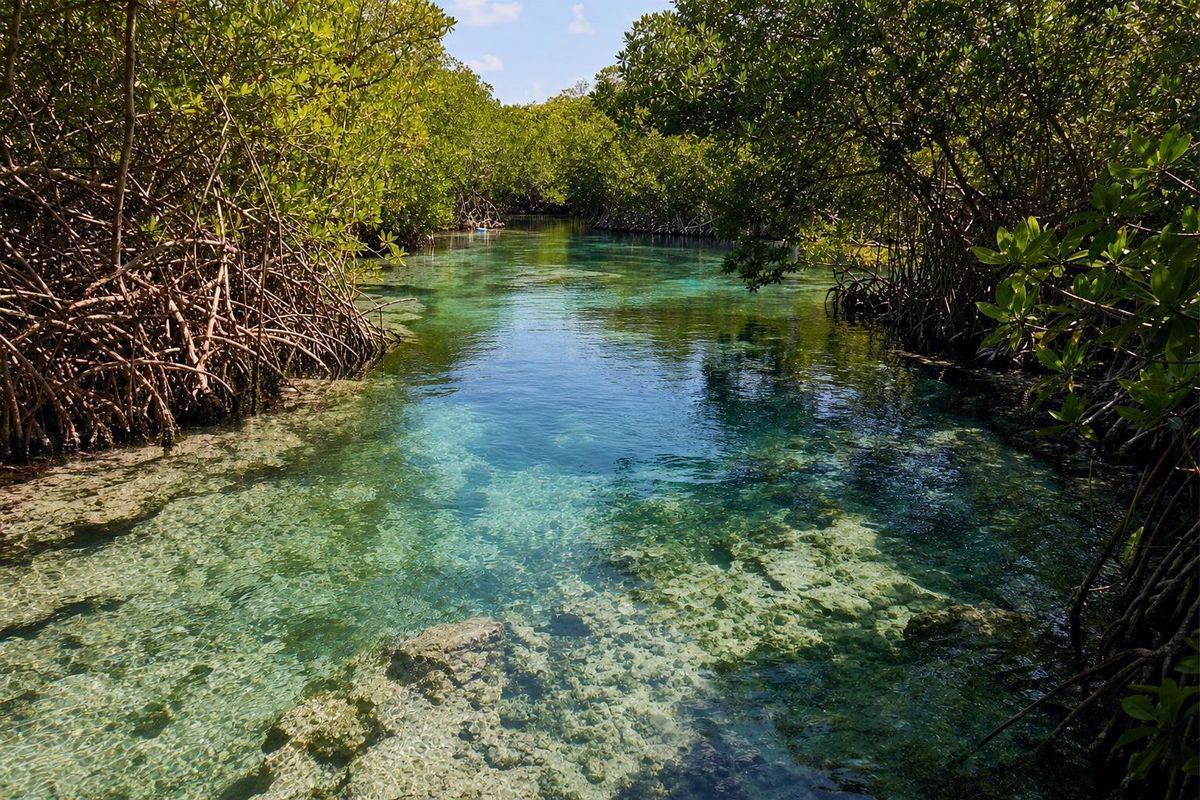
Casa Cenote
AI-generated image Cenotes · Quintana Roo
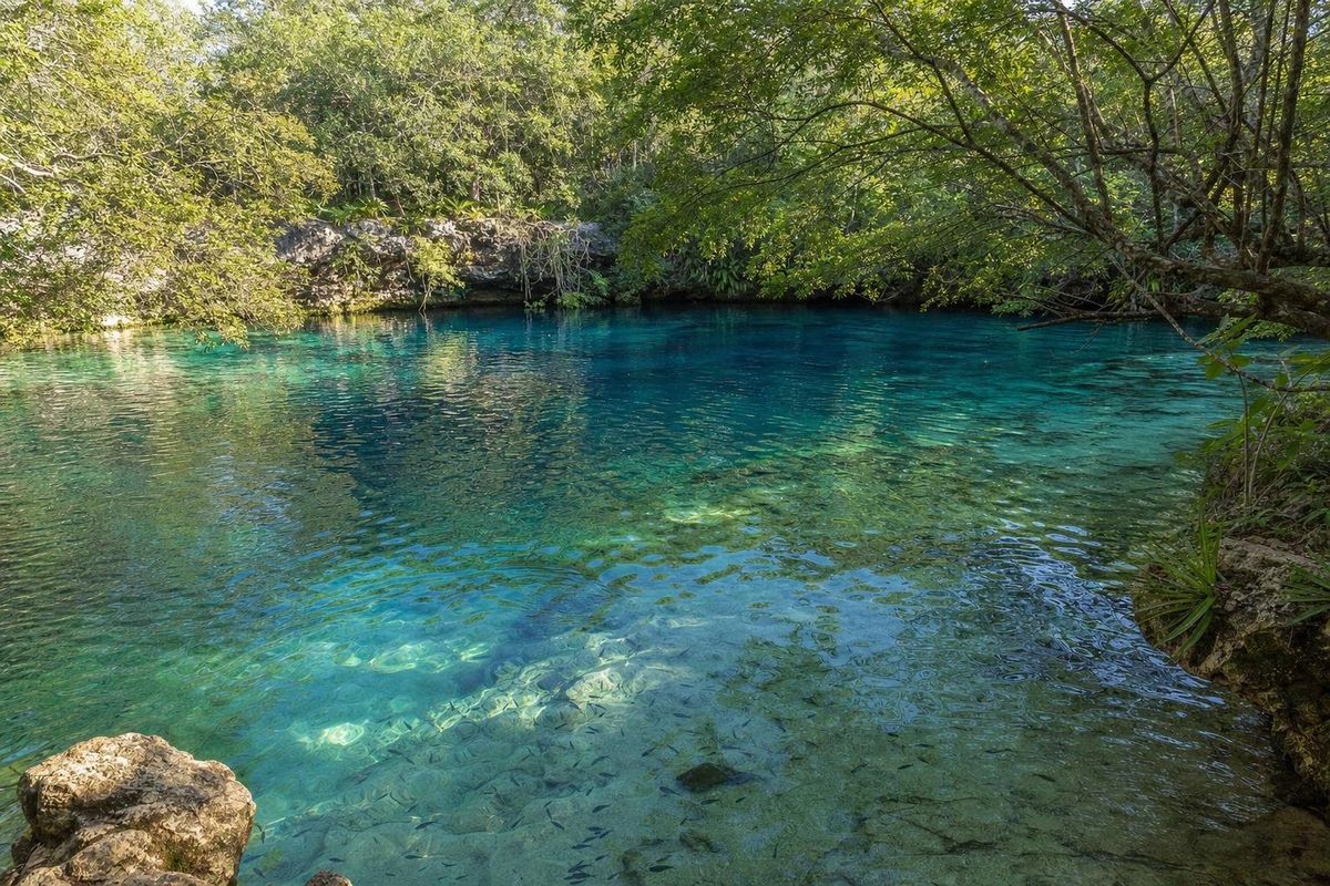
Cenote Azul
AI-generated image Cenotes · Quintana Roo
Choo Ha
AI-generated image Cenotes · Quintana Roo
Cristalino
AI-generated image Cenotes · Quintana Roo
Dos Ojos
AI-generated image Cenotes · Yucatán
El Corchito
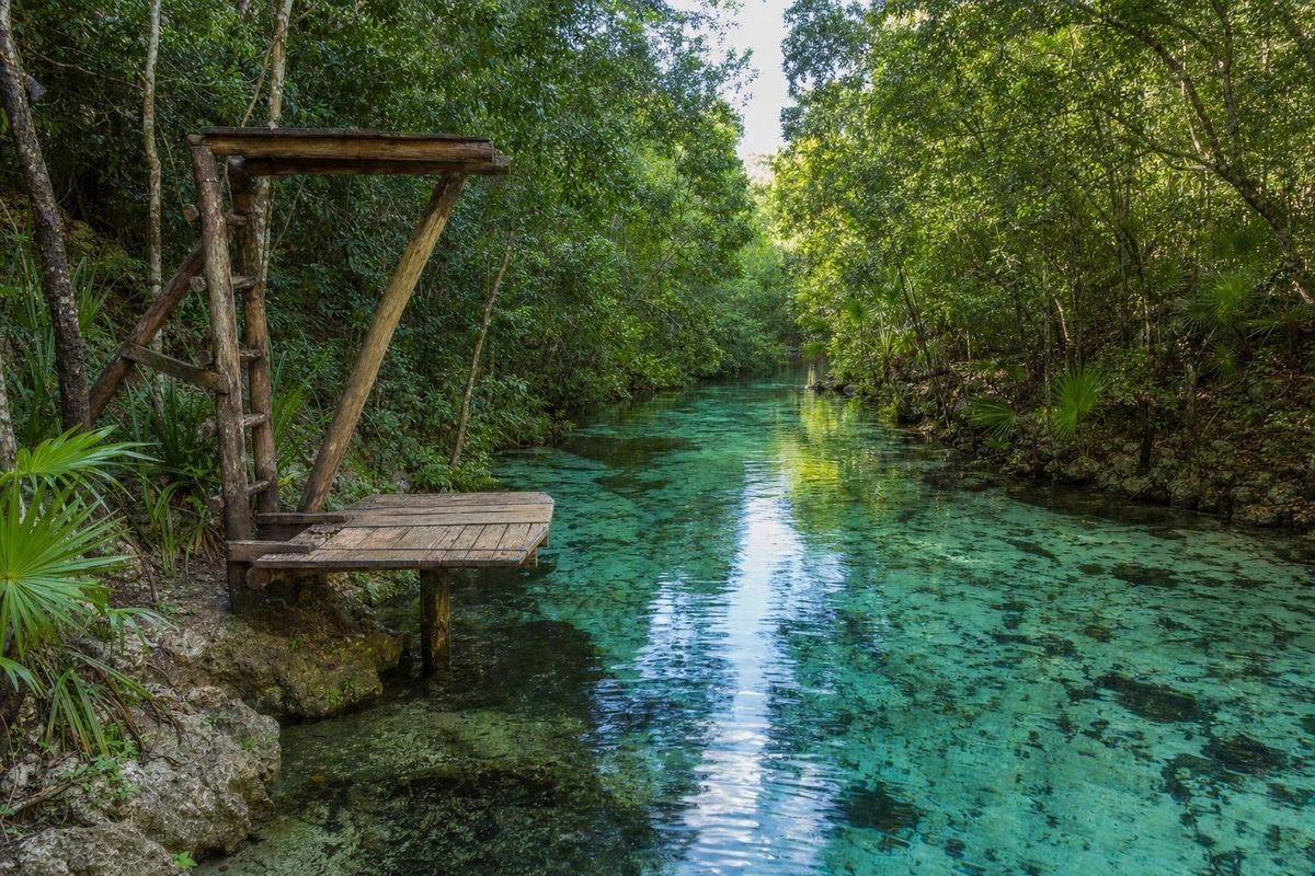
AI-generated image Cenotes · Quintana Roo
Escondido
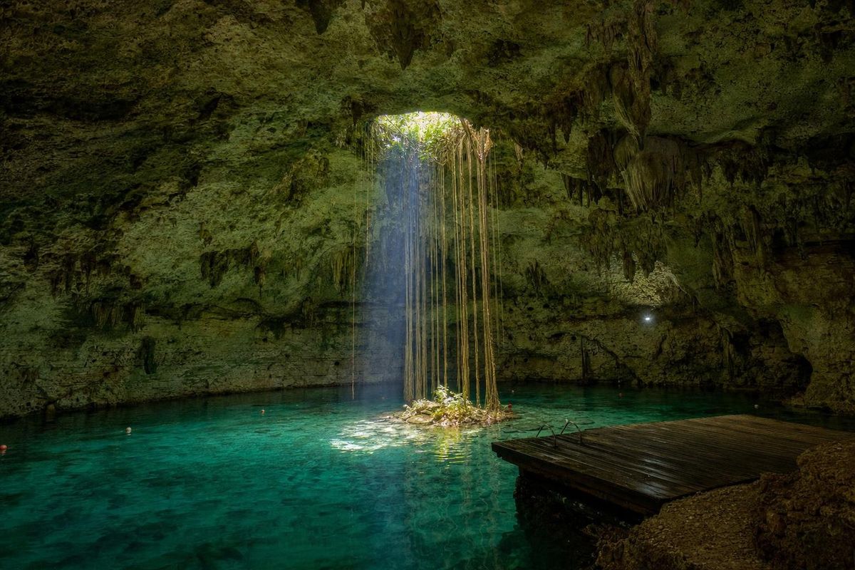
AI-generated image Cenotes · Yucatán
Hubiku
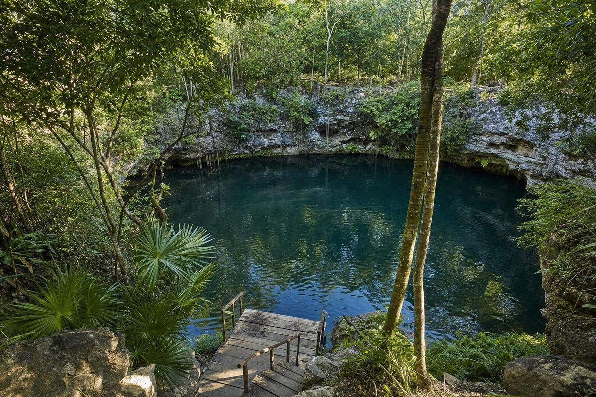
AI-generated image Cenotes · Yucatán
Kikil
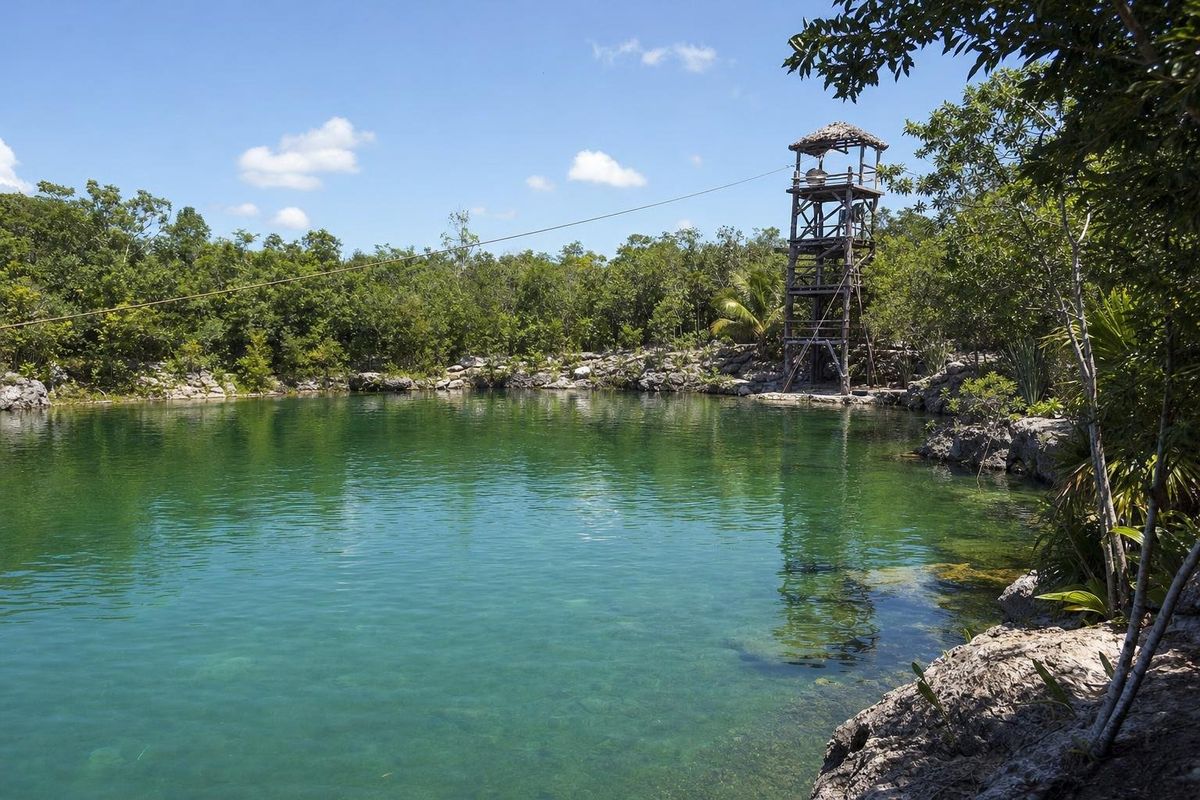
AI-generated image Cenotes · Quintana Roo
Las Mojarras
AI-generated image Cenotes · Quintana Roo
Tankach-Ha
AI-generated image Cenotes · Quintana Roo
Verde Lucero
AI-generated image Cenotes · Yucatán
Xcajum
AI-generated image Cenotes · Yucatán
Zazil Tunich
How a cenote forms
The Yucatán peninsula is built of limestone, a rock that slowly dissolves in rainwater made slightly acidic by carbon dioxide from the air and the soil. Over hundreds of thousands of years, water seeping through the rock carved caves and channels, many of which flooded when sea levels rose at the end of the last ice age. Where the roof of one of these caves gives way, the groundwater is exposed and a cenote appears. The word comes from the Yucatec Maya ts'onot, and the peninsula has thousands of them; estimates run well into five figures, and new ones are still being recorded.
Because there are almost no surface rivers, cenotes were the main source of fresh water for the ancient Maya, and many towns grew around one. They also had a religious role as openings to Xibalba, the underworld. Offerings, and in some cases human remains, have been recovered from several of them.
Open, semi-open and cave cenotes
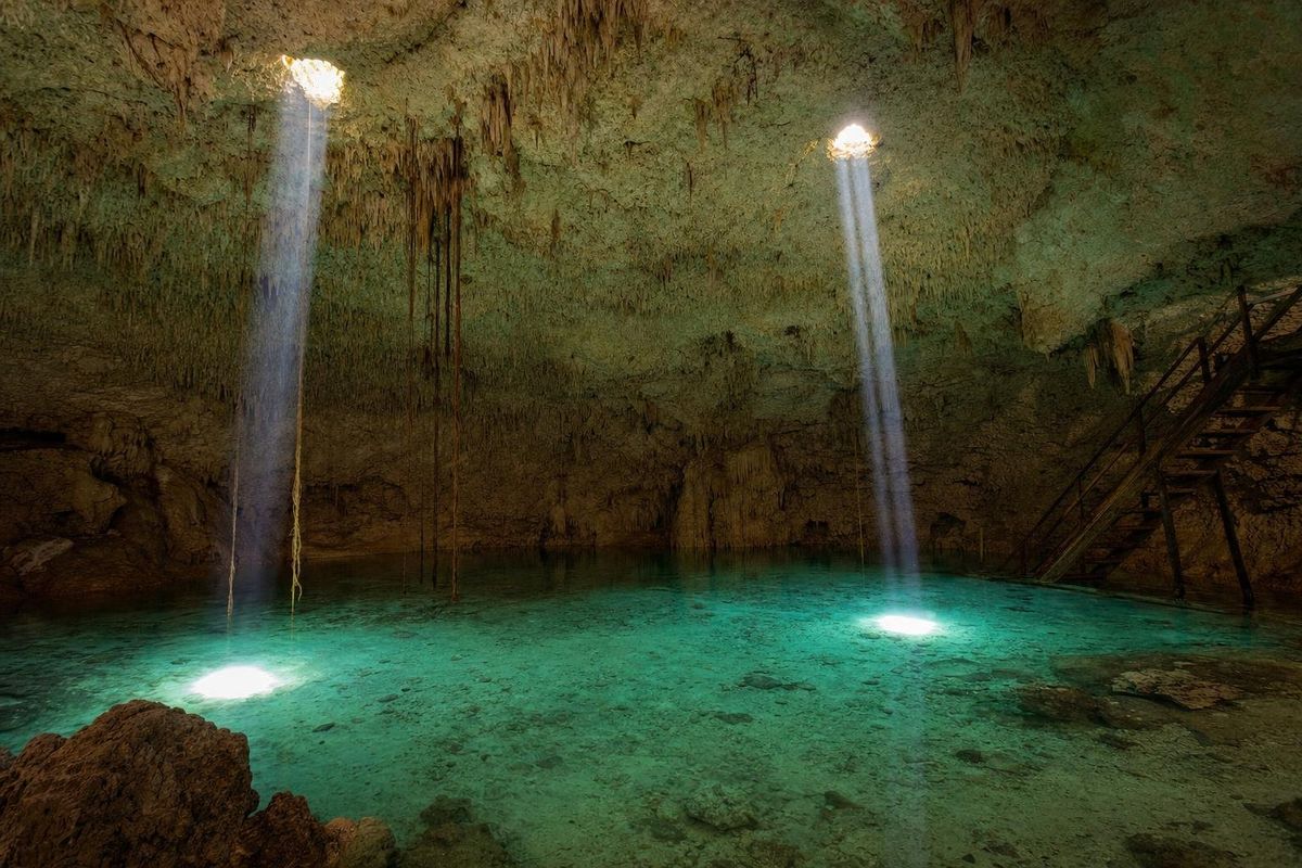
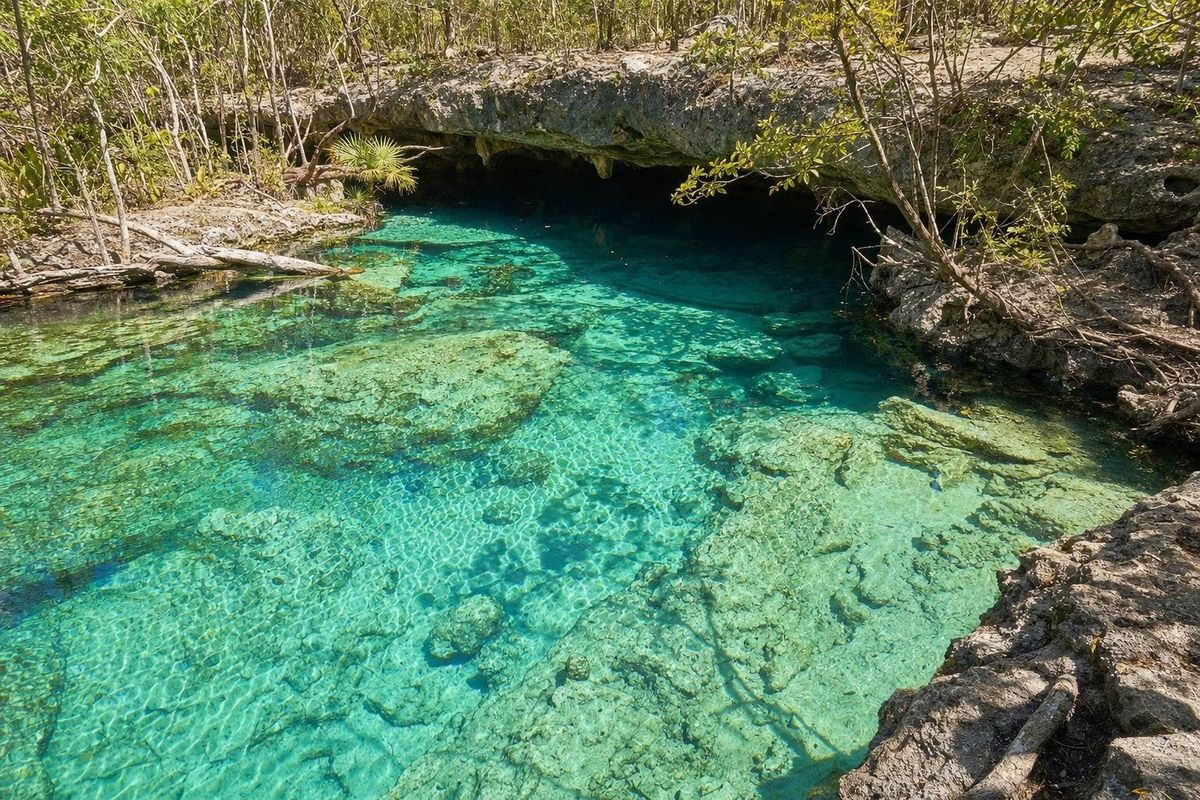
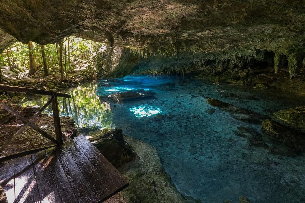
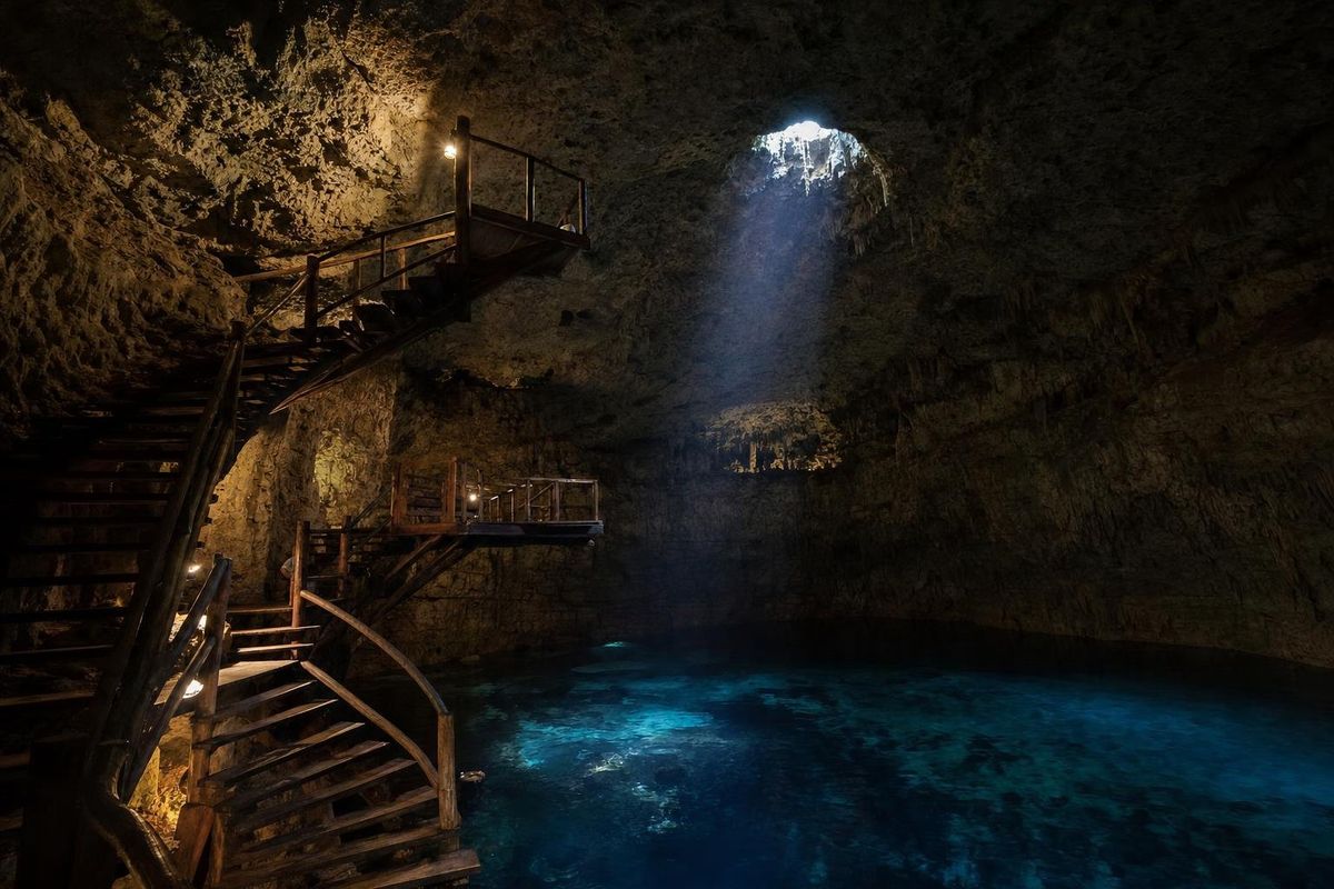
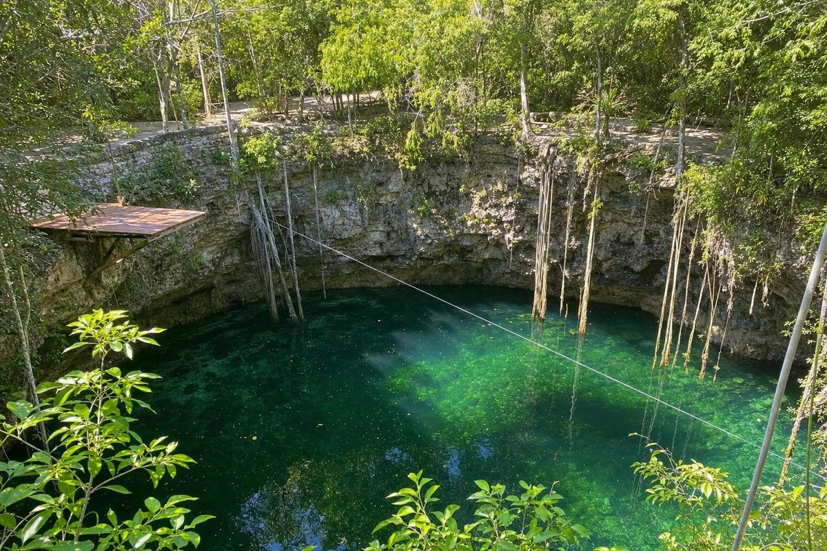
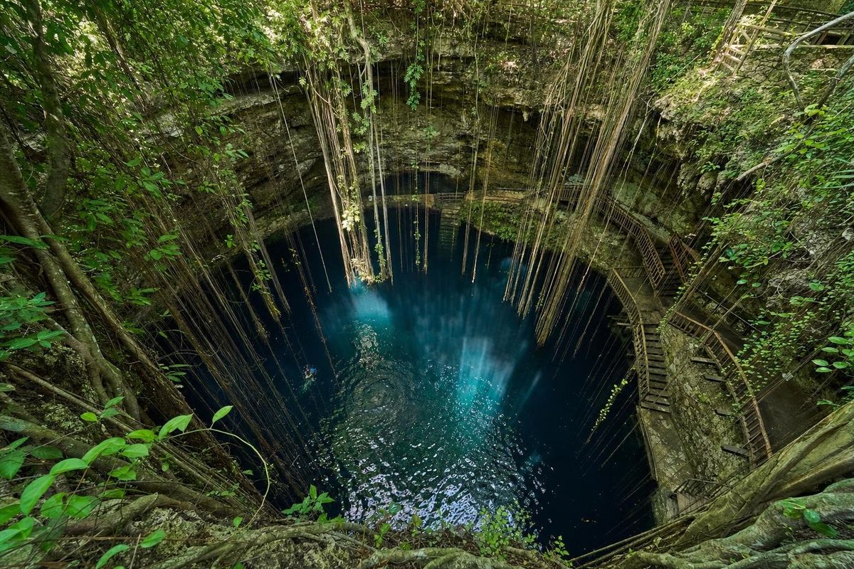
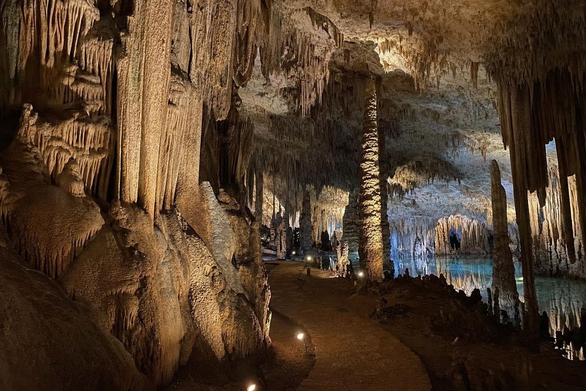
Cenotes are usually sorted by how much of the roof is left. Open cenotes have lost their roof completely and look like ponds or lagoons, often with fish and plants; Cenote Azul near Bacalar is a deep, open example. Semi-open cenotes keep part of their ceiling, so sunlight falls through a hole onto the water in a single shaft; Xcajum north of Valladolid belongs to this group of deep, steep-sided wells. Cave cenotes are almost fully enclosed and reached by stairs or ladders, lit only by small openings or by lamps, as at Hubiku.
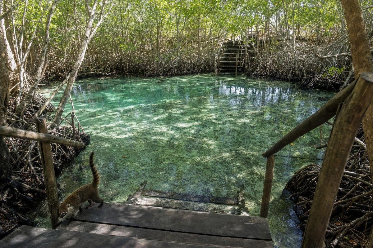
Age plays a part too. Geologists generally read cave cenotes as the youngest stage and open, lake-like cenotes as the oldest, after the roof has fallen in completely. On the Caribbean side, many cenotes connect to long underwater cave systems and to the sea, mixing salt and fresh water in a visible layer called a halocline; Casa Cenote near Tulum is one that opens through mangroves.
The Ring of Cenotes
In the northwest of Yucatán state, cenotes are not scattered evenly. They line up in an arc roughly 170 to 180 kilometers across, centered near the port of Progreso and the village of Chicxulub Puerto. Researchers in the late twentieth century linked this pattern to the Chicxulub crater, buried under the limestone and dated to about 66 million years ago, the impact most scientists connect to the extinction of the dinosaurs. The rock over the crater's rim fractured differently, and groundwater dissolved it along that line. Villages such as Homún sit on the ring and have dozens of cenotes within a short ride.
Rules for swimmers
A cenote is drinking water. Shower before going in, and skip sunscreen, repellent and lotion, which leave a film on the surface and harm the life in the water. Most cenotes require or offer life jackets, and some are deep enough that weaker swimmers should wear one regardless. Jumping is restricted at many sites. Cave and cavern diving is a specialist activity that needs certified guides. Many cenotes are run by local communities or ejidos, and their rules, opening days and access roads change; a trip such as the cenote route through Yucatán is easier with that checked on the day.
Other cenotes and lagoons along the coast
Several more swimming holes sit along Highway 307 between Playa del Carmen and Tulum. Jardín del Edén, near Xpu-Há, is a wide open cenote with ledges for jumping and clear water over a rocky floor. Dos Palmas, inland from the same stretch, is a quieter semi-open pool. Gran Cenote, a few kilometers along the road from Tulum to Cobá, is a collapsed cavern linked to underwater passages and popular with snorkelers and cave divers.
Inland, in the cluster of cenotes around Valladolid, Cenote Maya Native Park is set up for activity rather than a quiet swim: a large semi-open cave with rappelling, zip lines and a slackline strung inside it, and a garden of native plants around the entrance.
Kaan Luum, south of Tulum, is a lagoon rather than a cenote: a shallow ring of pale water around a deep, dark blue center. Swimming rules, access paths and fees at all of these change from season to season, so check locally before going.
Questions about cenotes
What is the difference between a cenote and a cave?
A cenote is the point where the groundwater is exposed, through a collapsed or partly collapsed roof. A cave can be dry; a cenote always holds water.
Which type of cenote is best for swimming?
Open and semi-open cenotes are the easiest for most swimmers, with daylight and easy entry points. Cave cenotes are cooler and darker and suit confident swimmers.
Why is sunscreen not allowed?
Cenotes connect to the aquifer that supplies the region's drinking water, and chemicals from sunscreen and repellent pollute it and harm fish and other life.
How cold is the water?
Cool rather than cold, usually somewhere in the low to mid twenties Celsius all year, which feels refreshing on a hot day.
What is the Ring of Cenotes?
An arc of cenotes in northwestern Yucatán state that follows the buried rim of the Chicxulub impact crater.