
−5 m · Shallows · Cenotes · Quintana Roo
Cenote Choo Ha: a Shallow Cave Pool Under Stalactites near Cobá
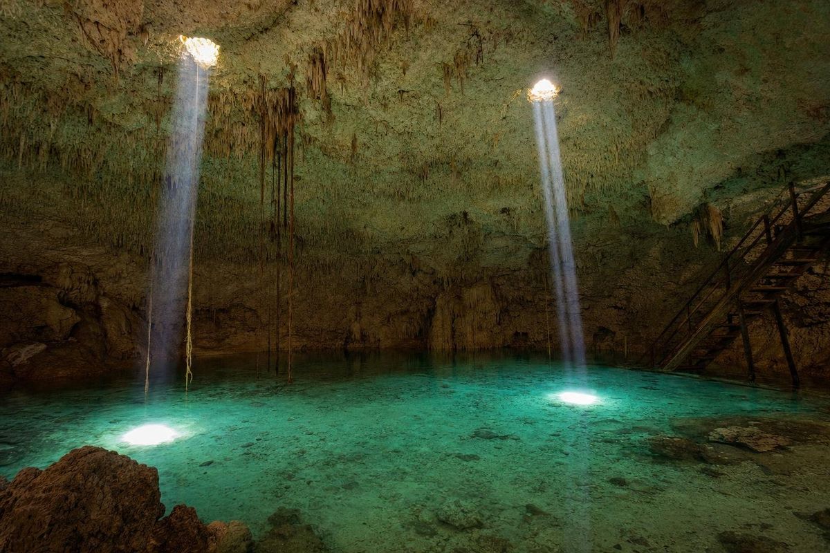
Cenote Choo Ha is a cave cenote about 6 km from the ruins of Cobá, in Quintana Roo, one of three community-run cenotes along the same back road. A steep wooden staircase leads into a round cavern whose ceiling bristles with stalactites, and the water below is clear, turquoise and unusually shallow for a cave pool. It is one of the gentlest underground swims in the region and an easy add-on after a morning at the ruins.
Inside the cavern
The entrance is modest: a hole in the ground among scrubby jungle, a wooden roof over the stairway and a descent that is steeper than it looks. At the bottom the cave opens into a dome, close to circular, with the water filling most of the floor. Small openings in the roof let in narrow beams of daylight that move across the surface as the sun shifts, and roots from the trees above push through the same gaps.
The name is usually translated from Yucatec Maya as "dripping water", and the ceiling explains why. It is covered with stalactites, most of them thin and short, formed drop by drop when the cave was still above the water table. Some reach down toward matching stalagmites rising from the floor of the pool. With a mask on, the limestone shapes under the surface are as interesting as those overhead.
The pool is shallow over much of its area, often standing depth near the edges, which is what sets Cenote Choo Ha apart. It suits children, nervous swimmers and anyone who finds dark, deep cave water unsettling. A rope and wooden platforms provide places to rest.
Three cenotes on one road
Choo-Ha shares its road with two other cenotes, Tankach-Ha and Multún-Ha, all administered by the local community. They are close enough to visit together, and each has its own personality:
- Choo Ha is the shallow, bright one, best for snorkeling and relaxed swimming.
- Tankach-Ha is a deep, enclosed cave with platforms for jumping.
- Multún-Ha is another deep cavern, reached by a long stairway, with very clear water.
Tickets have usually been sold per cenote at a small booth along the road before the first entrance. Prices change and have risen across the region in recent years, so it is best to check on arrival rather than rely on old figures.
Cobá and its water
The cenotes are part of the landscape of ancient Cobá, one of the largest Maya cities in the northern lowlands. Cobá grew up around a cluster of lakes, unusual in a region with almost no surface water, and it was the hub of a network of raised stone roads, or sacbeob, including one that runs about 100 km west toward Yaxuná near Chichén Itzá. The tall pyramid of Nohoch Mul is its best-known building.
Unexcavated mounds are visible through the trees on the way to the cenotes, a reminder that the ancient city spread much further than the cleared archaeological zone. Water sources like Choo Ha would have mattered to the people who lived here, and caves in general had religious weight: in Maya thought they were openings to the underworld and places associated with the rain god Chaak. The INAH, Mexico's national institute of anthropology and history, manages the archaeological zone itself.
Stelae at Cobá carry Long Count dates from the Classic period, and the city appears to have been at its height between roughly AD 600 and 900, when it controlled much of the northeastern peninsula. The cenotes on the road south would have been ordinary features of that landscape, visited for water by farmers whose house mounds still dot the forest. Today the same road runs through a village where Yucatec Maya is spoken at home.
How to reach Cenote Choo Ha
Cobá lies inland, about 45 km northwest of Tulum by road. From the ruins' car park, follow the road along the lakeshore through the village and take the turning signed for the cenotes, toward Chan Chen. The ticket booth and the first cenote follow after a few kilometers on a smaller road; Choo Ha is usually the first one reached, with Tankach-Ha and Multún-Ha close by.
There is no public transport to the cenotes themselves. Second-class buses connect Cobá village with Tulum, Valladolid and Playa del Carmen, but from the village a bicycle, a taxi (if one is available) or a rental car is needed. Bicycles can usually be rented in Cobá, and the flat road makes a pleasant ride if the day is not too hot. Driving from Tulum, Playa del Carmen or Valladolid is the simplest option.
When to go and what to bring
The best plan is the ruins first, early, before heat and tour groups, then the cenotes from late morning. The light beams inside Choo Ha are strongest when the sun is high. The cave temperature stays steady year round, so the cenote works equally well in the dry season (about November to April) and the hotter, wetter months that follow, when afternoon storms are common and hurricane season runs through to November.
- Bring water and snacks: services at the cenotes are minimal.
- Cash in pesos for tickets.
- Water shoes for the wet, steep stairs.
- No sunscreen or repellent in the water; showers are basic, so arrive clean and wait to apply creams until after the swim.
Lunch is easiest back in Cobá village, where small restaurants along the lake serve regional dishes. The lake is home to crocodiles, so swimming happens in the cenotes, not there.
Further swims in the area
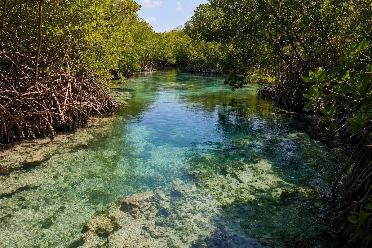
Choo Ha fits into a wider cenote circuit between Tulum and Valladolid. South of Tulum, Cenote Escondido is an open jungle pool, and on the coast north of town, Casa Cenote runs through mangroves to the sea. The cenotes of Yucatán route strings many of these together, and the full list sits on the cenotes page.
Choo Ha: what visitors ask
How far is Cenote Choo Ha from Cobá?
About 6 km from the archaeological zone, along a back road south of Cobá village toward Chan Chen.
Is Choo Ha good for people who cannot swim well?
Yes, more than most cave cenotes. Much of the pool is shallow, though a life jacket is still a good idea.
Can all three Cobá cenotes be visited in one day?
Yes. Choo Ha, Tankach-Ha and Multún-Ha are close together, and many visitors see all three after the ruins.
Is there food at the cenote?
Services are minimal. Bring water and snacks, or eat in Cobá village afterwards.
What does Choo Ha mean?
The name is usually translated from Yucatec Maya as "dripping water", a reference to the stalactites on the cave ceiling.
Nearby on the map
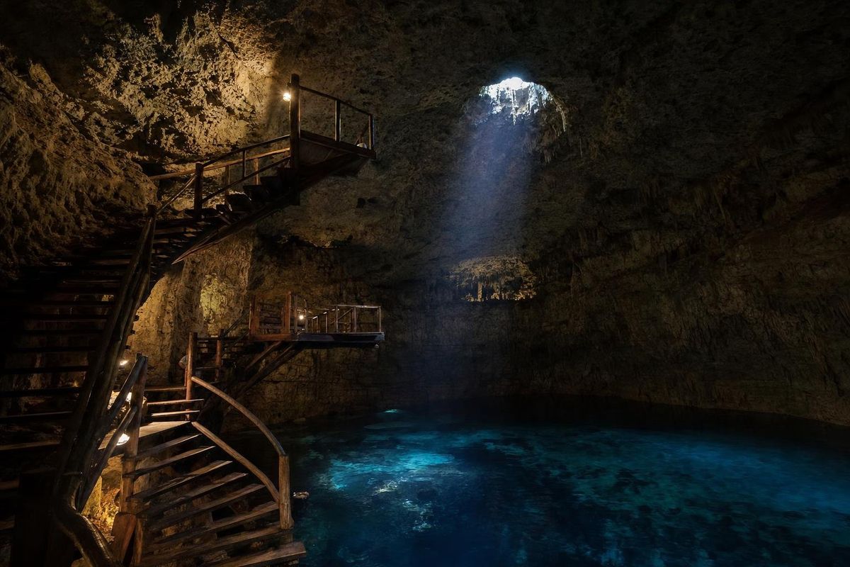
AI-generated image Cenotes · Quintana Roo
Tankach-Ha
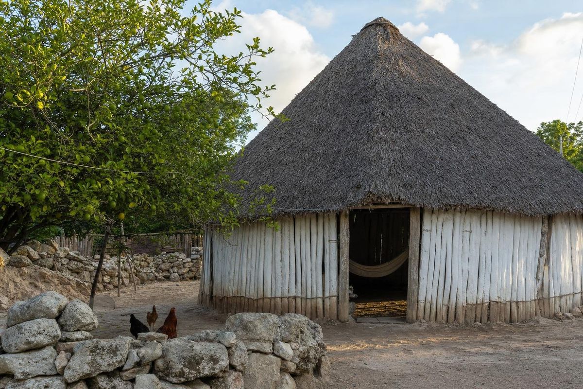
AI-generated image Towns & Villages · Quintana Roo
Maya villages
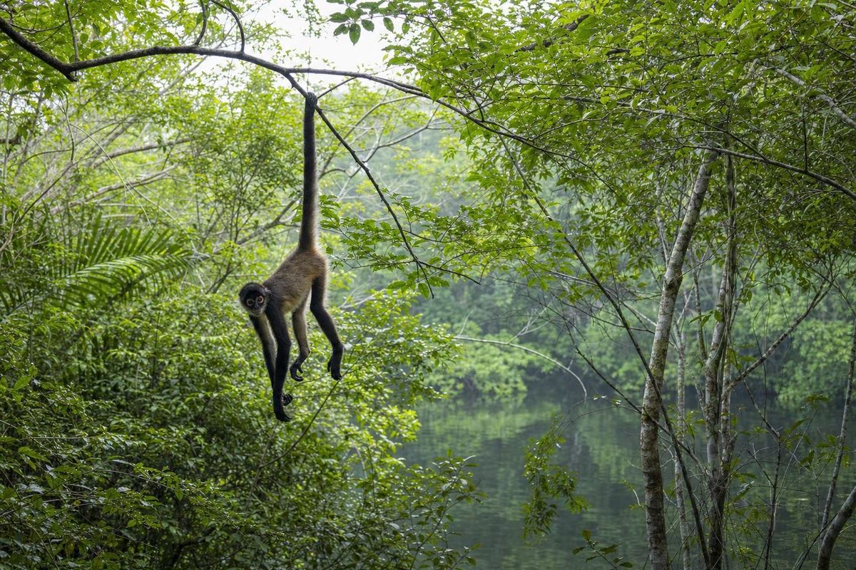
AI-generated image Jungles · Quintana Roo
Punta Laguna
AI-generated image Cenotes · Quintana Roo
Casa Cenote