
−20 m · Stone · Maya Ruins · Quintana Roo
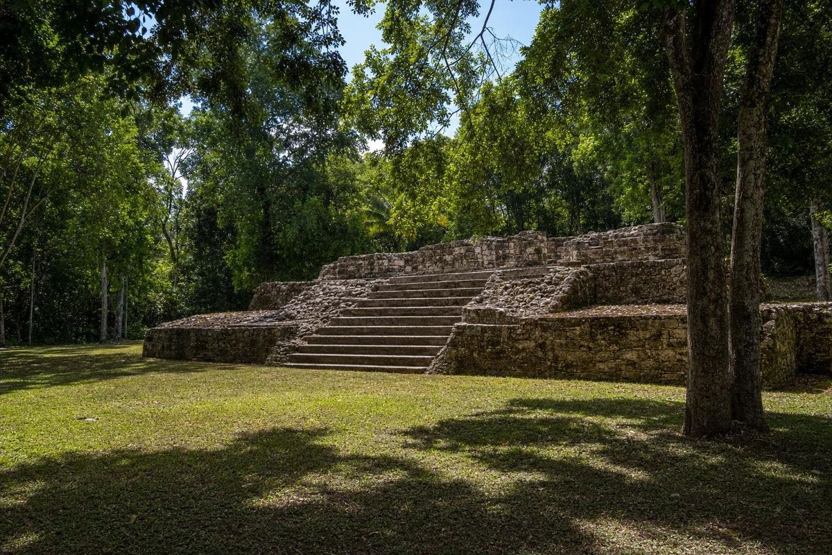
Kohunlich Mayan Ruins: the Temple of the Masks in Quintana Roo
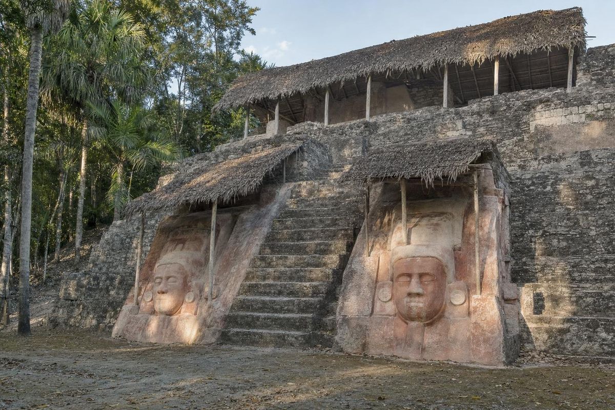
Kohunlich is a Maya city in the forest of southern Quintana Roo, about 65 km west of Chetumal, best known for the Temple of the Masks: a pyramid whose stairway is flanked by huge stucco faces made around AD 500. The site was occupied for well over a thousand years, and its plazas, palaces, ballcourt and water system spread across a low ridge thick with cohune palms. It sees few visitors, and an unhurried visit takes two to three hours.
A city on a palm-covered ridge
The name Kohunlich is not Maya. It is usually explained as a Spanish rendering of the English "Cohune Ridge," a name given by English-speaking loggers and chicle workers from neighboring British Honduras, now Belize, after the tall cohune palms that still dominate the forest here. The ancient name of the city is not known.
People were living on the ridge by the Late Preclassic period, before about AD 250. Kohunlich grew into a substantial center in the Early Classic, when the Temple of the Masks was built, and reached its greatest extent in the Late and Terminal Classic, roughly AD 600 to 1000, when most of the palaces and residential groups visible today took their final form. Activity faded in the following centuries.
Its location places it in a cluster of important sites in southern Quintana Roo. Dzibanché, a seat of the powerful Kaanul or Snake dynasty in the Early Classic, lies roughly 40 km to the north, and most researchers assume Kohunlich was drawn into that orbit, though the details of its politics remain unclear because few inscriptions have been found here.
The site became widely known in the late 1960s, after looters tunneling into the main pyramid exposed the masks. Mexican archaeologists from INAH then excavated and stabilized the building, and work on the rest of the city continued over the following decades.
The Temple of the Masks
The Templo de los Mascarones is a stepped pyramid facing west. On either side of its central stairway, set into the terraces, are large stucco masks of human faces, each roughly two meters tall. Several survive in good condition, protected today under thatched shelters; others were lost before excavation. Traces of red paint remain on some of them.
Each face has wide eyes, ear spools and a headdress, and several show features that scholars associate with the Maya sun god, sometimes called K'inich Ajaw, such as large squared eyes and a particular treatment of the mouth. A widely accepted reading is that the masks show a ruler, or a series of rulers, in the guise of the sun, linking the authority of the king with the daily rise of the sun from the east. The temple was later covered by a newer building, which is why the stucco survived as well as it did.
Stucco masks of this kind, flanking a stairway, are a feature of Maya temple design from the Late Preclassic into the Early Classic. Comparable examples can be seen at Lamanai in Belize and at Calakmul and other sites in Campeche, but the faces at Kohunlich are among the most complete and the most human-looking that remain in situ.
Other structures to look for
Plaza of the Stelae and the Acropolis
The largest open space at Kohunlich is a broad plaza lined with platforms, named for several plain stelae found there. Above it rises the Acropolis, a raised complex of rooms and courtyards that was probably the residence and administrative center of the ruling family. Its height gives a view over the canopy.
The ballcourt
A small ballcourt with two parallel sloping walls lies near the center of the site. Like most Maya courts, it would have been the setting for a ritual ball game with deep religious and political meaning.
Los 27 Escalones
The complex called the 27 Steps is a residential group built on a steep slope, reached by a long stairway. Its rooms and courtyards are among the best-preserved elite living spaces at the site and are usually dated to the Late Classic.
Water management
Southern Quintana Roo has no rivers or cenotes near Kohunlich, so the city depended on rain. Its plazas and paved surfaces were sloped to channel runoff into a large reservoir, one of several water-storage features that made a dense population possible through the long dry season.
Getting there
Kohunlich lies south of Federal Highway 186, the road from Chetumal west toward Escárcega. From Chetumal, drive west for roughly an hour, then turn south at the signed junction and follow a paved side road through the forest for about 9 km to the entrance. There is no regular public transport to the site; a rental car or a taxi or tour from Chetumal is the practical choice.
From Bacalar, the drive takes a little over an hour and a half. Kohunlich and Dzibanché are easily combined in one day, and those continuing west on Highway 186 reach the Río Bec sites around Xpuhil and, further on, the turnoff for Calakmul.
Practical notes
The site is spread out and shaded, but the forest is hot and humid. Bring water, repellent and closed shoes, since there are few services on site and paths can be muddy after rain. The dry months, roughly November to April, are the most comfortable. Early morning brings the most wildlife: howler monkeys, toucans and parrots are often heard in the canopy, and agoutis cross the paths.
Climbing the Temple of the Masks is not permitted, and the masks should be photographed from the designated viewing area without flash. Opening hours and fees are set by INAH and change; check them before setting out. More of the region's sites are listed in the Maya ruins section.
When looking at the masks, give the eyes a long look. Their squared outline is easy to miss from the foot of the stairway, yet it is one of the details on which the solar reading of the temple rests.
Kohunlich FAQ
Where is Kohunlich?
In southern Quintana Roo, Mexico, about 65 km west of Chetumal, reached from Federal Highway 186.
What is Kohunlich famous for?
The Temple of the Masks, a pyramid flanked by large Early Classic stucco faces, generally interpreted as rulers shown in the guise of the sun god.
How old are the masks?
They are usually dated to around AD 500, in the Early Classic period.
What does the name Kohunlich mean?
It comes from the English "Cohune Ridge," after the cohune palms that grow on the site, and is not the ancient Maya name.
Can you visit Kohunlich and Dzibanché in one day?
Yes. They are about 40 km apart and both lie off Highway 186 west of Chetumal, so they combine well by car.
Nearby on the map
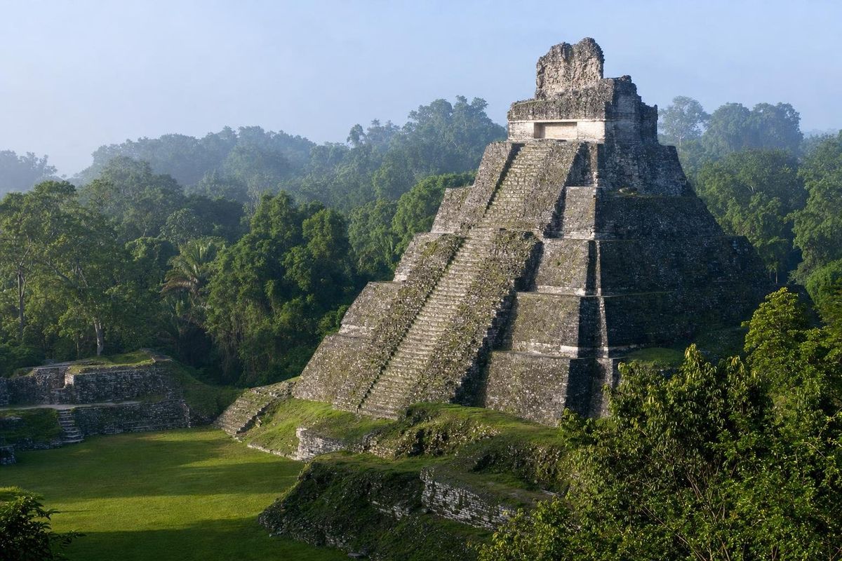
AI-generated image Maya Ruins · Quintana Roo
Dzibanché
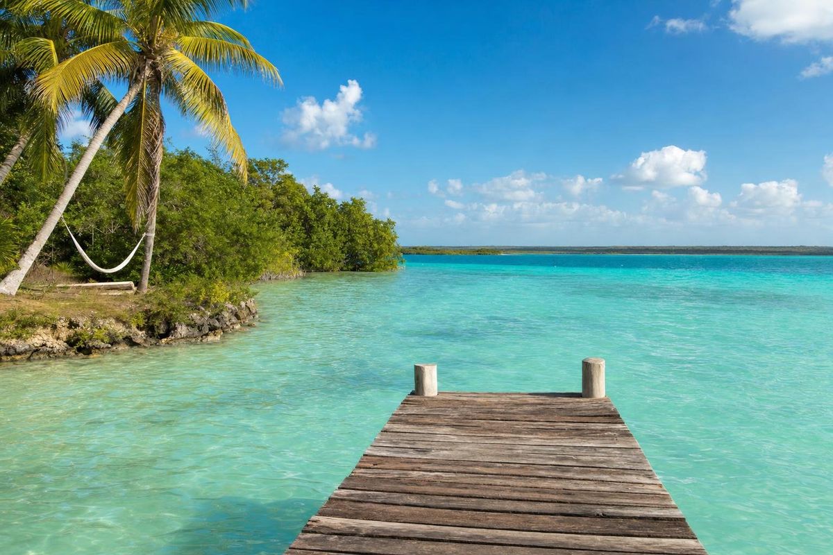
AI-generated image Lakes & Rivers · Quintana Roo
Bacalar
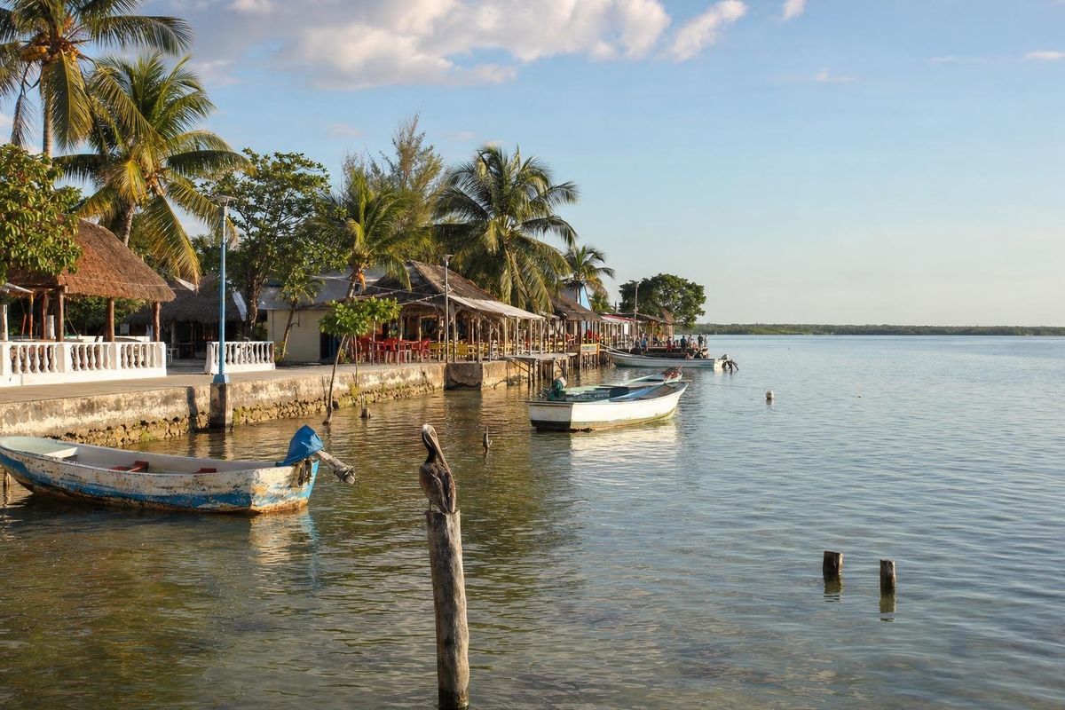
AI-generated image Towns & Villages · Quintana Roo
Calderitas
AI-generated image Maya Ruins · Quintana Roo
Oxtankah