0 m · Surface · Trips · Yucatán
Cenotes of Yucatán: a Four-Day Route from Mérida to Valladolid
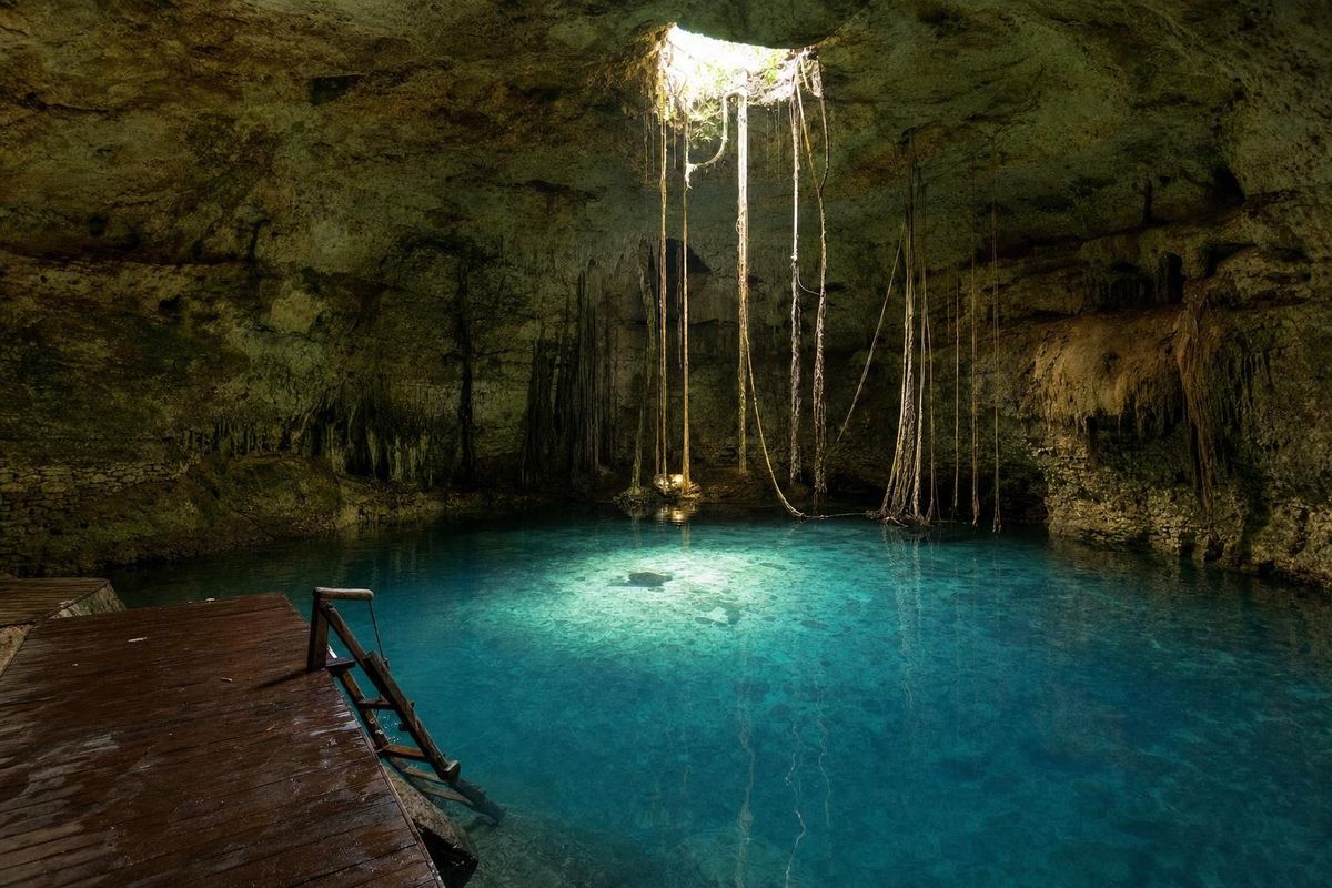
The state of Yucatán has thousands of cenotes, and this suggested four-day route strings together some of the most varied: an open pool inside a Maya city north of Mérida, the cavern cenotes of the Ring of Cenotes around Cuzamá and Homún, the domed caves around Valladolid, and the vine-hung well of Ik Kil near Chichén Itzá. Each day needs only a few hours of driving, leaving most of the time for swimming.
What a cenote is
A cenote is a natural opening in the limestone that exposes groundwater. The word comes from the Yucatec Maya ts'onot, meaning well. Northern Yucatán has no surface rivers: rain soaks straight into the porous rock and flows underground through a vast network of flooded caves. Where a cave roof collapses, the water appears. Cenotes range from open, lake-like pools whose roofs fell in long ago, through semi-open ones with partial overhangs, to cavern cenotes reached by stairs through a small opening, where light falls in a single beam.
To the Maya, cenotes were both the source of drinking water and openings to the underworld. Offerings, and in some places human remains, have been recovered from several of them, most famously the Sacred Cenote at Chichén Itzá.
The Ring of Cenotes
South and east of Mérida, cenotes are unusually concentrated in a curving band known as the Ring of Cenotes. Geologists link it to the Chicxulub crater, the buried scar of the asteroid impact about 66 million years ago that is associated with the extinction of the dinosaurs. The fractured rock along the crater's rim channels groundwater, and collapses along that line produced a semicircle of cenotes. Homún and Cuzamá lie on it, and so does the coast around Dzilam.
Day by day
| Day | Route | Main stops | Overnight |
|---|---|---|---|
| 1 | North of Mérida, then southeast | Dzibilchaltún and Xlacah, Acanceh | Homún area or Mérida |
| 2 | Ring of Cenotes | Cuzamá by mule cart, Homún cenotes | Homún area or Mérida |
| 3 | East via Izamal to Valladolid | Izamal, Cenote Zací, Dzitnup, Hubiku | Valladolid |
| 4 | West back to Mérida | Ik Kil or Yokdzonot, Chichén Itzá optional | Mérida |
Day 1: a city well and a pyramid of masks
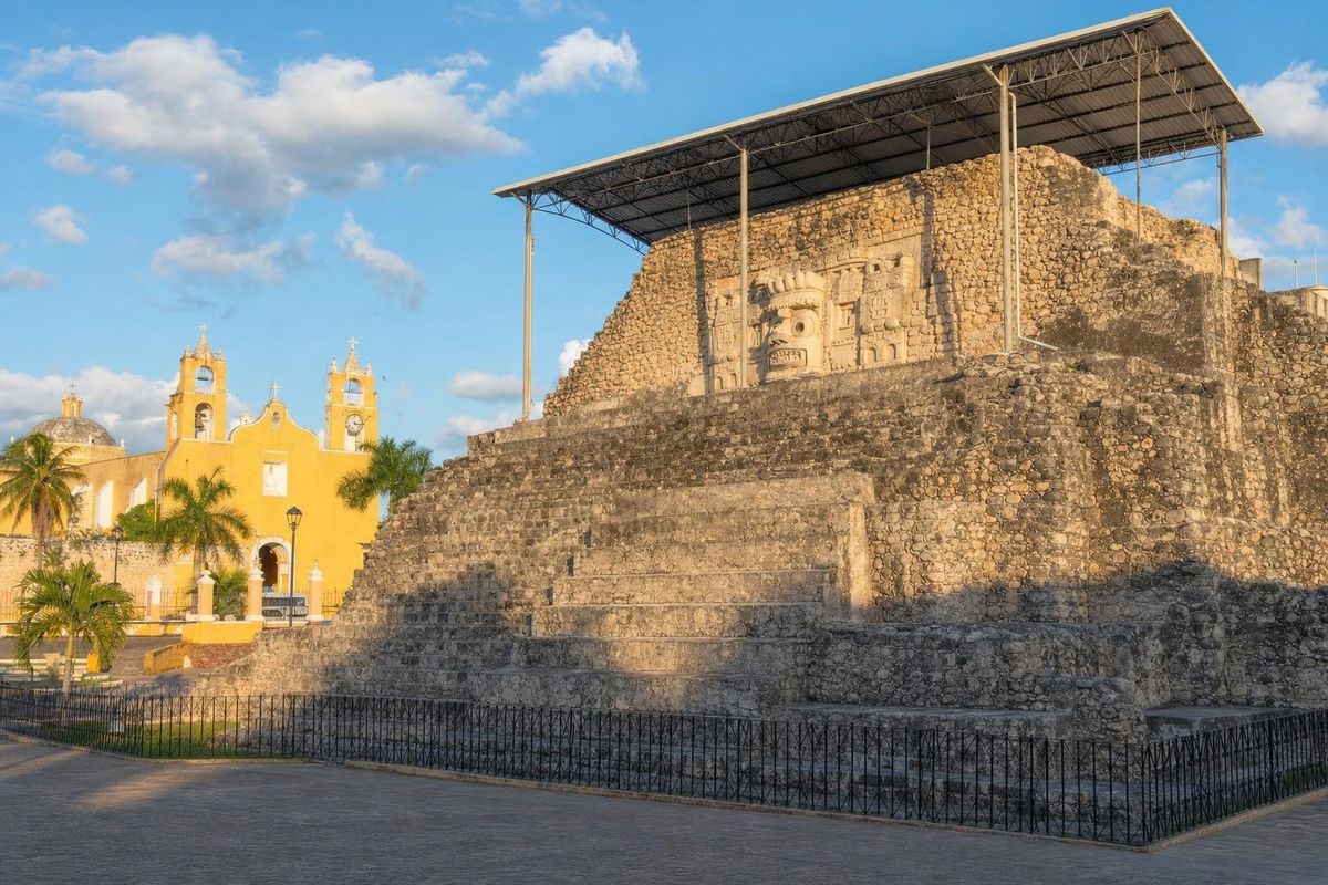
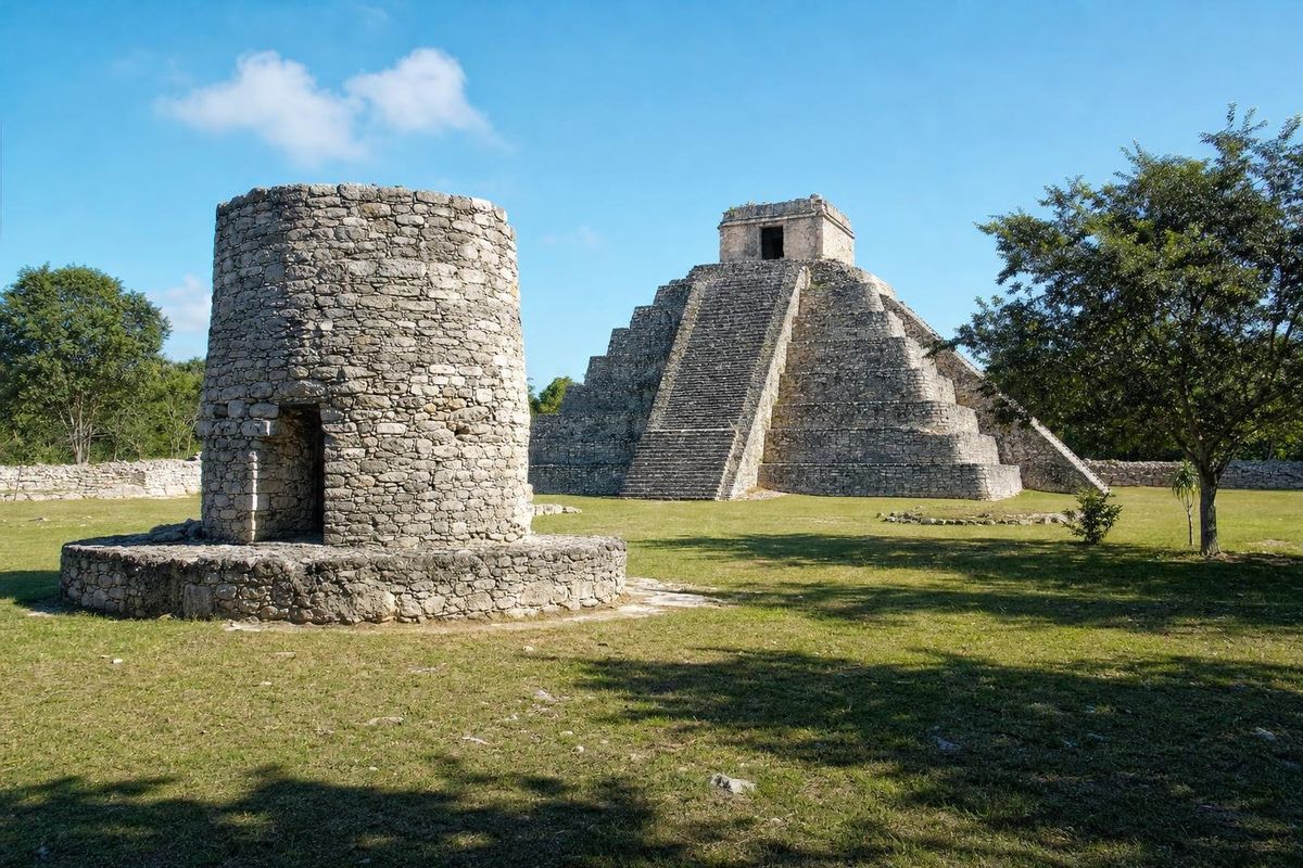
Begin at Dzibilchaltún, about half an hour north of Mérida, where the open Xlacah cenote sits beside the main plaza of a Maya city. Swimming is usually allowed during set hours, and the clear water drops steeply into deep blue on one side. In the afternoon, drive southeast to Acanceh to see the stucco masks on its town-square pyramid, then continue toward Cuzamá and Homún. Staying in the area means an early start at the cenotes before the day visitors from Mérida arrive.
Day 2: Cuzamá and Homún
Near Cuzamá, the old narrow-gauge rail lines of a henequen hacienda are still used to reach three cenotes. Visitors ride small flat carts pulled along the tracks by horses or mules, through scrub and past the remains of the plantation. The cenotes at the end of the line are mostly cavern pools entered by ladders, with roots hanging down into very clear water.
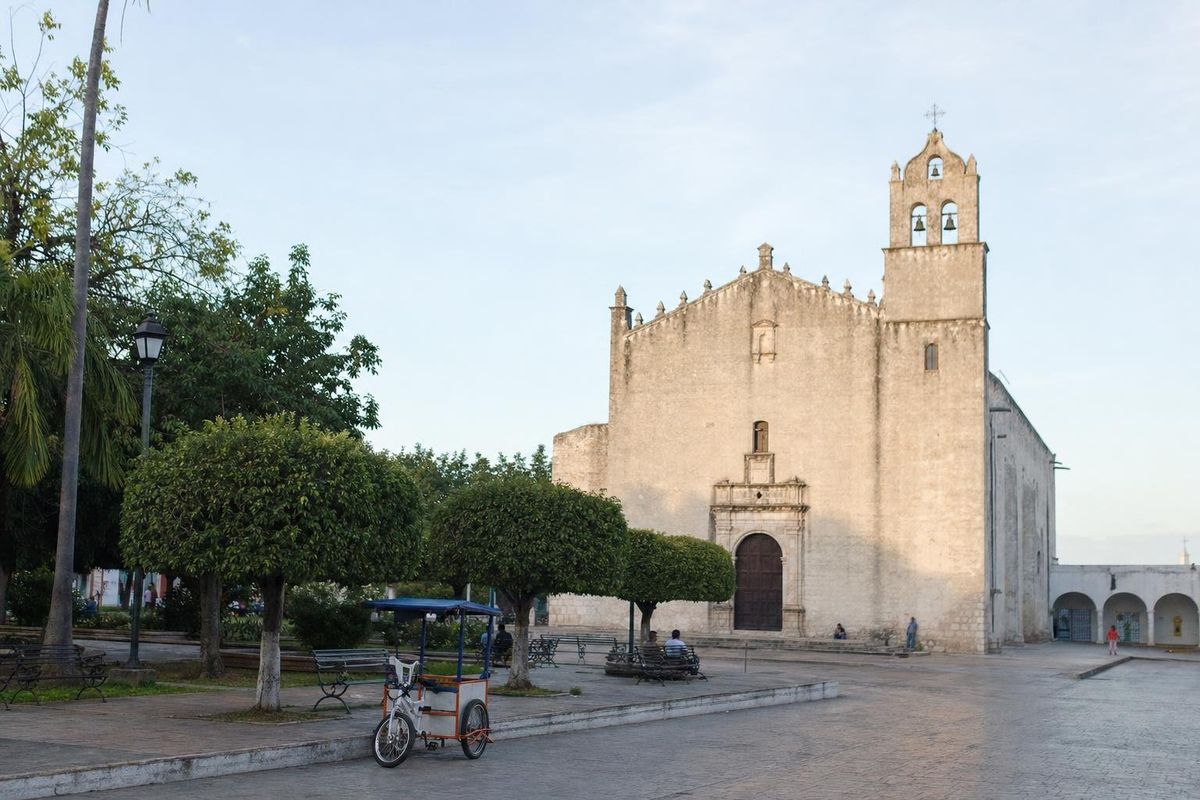
Homún, a short drive away, has dozens of cenotes on the land of local families and cooperatives, from open pools to deep caverns with a single shaft of light. Many are signposted from the road and run small entrances with life jackets. It is worth visiting two or three of different types; local tricycle-taxi drivers in town know which are open and how to reach them.
Day 3: Izamal and the caverns of Valladolid
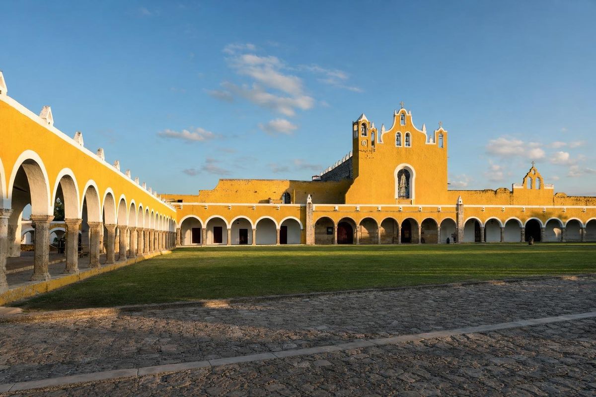
Head east toward Valladolid, stopping in Izamal, a town of ochre-yellow buildings with a large Franciscan convent built on top of a Maya platform. In Valladolid, Cenote Zací is an open cavern pool in the town itself. Just west of town, the Dzitnup cenotes, X'keken and Samulá, are both under domed roofs with a single opening, and Suytun nearby is known for a stone platform in the middle of its water. To the north, Hubiku near Temozón is a large cavern cenote with shafts of light. Choose two; more than that in one afternoon blurs together.
Day 4: Ik Kil and the road back
Ik Kil, beside the highway close to Chichén Itzá, is a deep round cenote open to the sky, with vines hanging from the rim down to the water, some tens of meters below ground level. It is busy by midday, so an early swim is better. The quieter Yokdzonot cenote lies a little further west, run by a village cooperative. Those with time can add Chichén Itzá itself before driving back to Mérida, roughly two hours away. For more around the eastern half of the route, see the Valladolid trip.
Cenote rules and safety
- Shower before entering. Sunscreen, repellent, lotion and makeup pollute water that is also the region's drinking supply, and most cenotes ask visitors to rinse off.
- Life jackets are compulsory in many cenotes and are often provided at the entrance.
- Stairs and ladders are wet and slippery; water shoes help, and jumping is only safe where staff allow it.
- Do not touch formations, and do not enter cave passages beyond swimming areas. Cave diving needs specific training and a certified guide.
- Entrance fees, opening hours and access change often, and some cenotes close after heavy rain; check locally.
Which cenotes suit whom
Open cenotes such as Xlacah and Ik Kil are the easiest for families and nervous swimmers, with daylight, wide stairs and, at the bigger ones, life jackets. Cavern cenotes are more atmospheric but usually mean steep stairs or ladders and a dark descent, and their water is often deep right from the edge. Photographers do best in cavern cenotes around midday, when the beams of light are at their strongest, while snorkelers find the clearest water in cavern pools in the dry months.
When to go
Cenotes can be visited year-round, and the water stays at a steady, cool temperature. The dry months from November to April have the clearest skies, which matters for the light shafts in cavern cenotes; around midday, when the sun is high, the beams are strongest. The rainy season from about June to October can make some water cloudier and the roads to rural cenotes muddy. Weekends and Mexican holidays bring local crowds, so weekdays are calmer.
A rental car is the practical choice for this route, since many cenotes lie down unpaved tracks away from bus routes. Avoid driving on rural roads after dark. Other routes across the region are in the trips section, and individual swimming holes are described in the cenotes section.
Yucatán cenotes: common questions
How many cenotes are there in Yucatán?
Estimates run into the thousands, and new ones are still being recorded. Only a fraction are open to visitors.
What is the Ring of Cenotes?
A curving band of cenotes south and east of Mérida, linked by geologists to the rim of the buried Chicxulub impact crater.
Do you need to be a strong swimmer?
Not necessarily. Many cenotes provide life jackets and some are compulsory, but cenotes are often deep, so non-swimmers should stay near ladders and platforms.
Why do you have to shower before entering a cenote?
Cenotes are part of the aquifer that supplies the region's drinking water, and sunscreen and repellent damage both the water and the life in it.
Which cenotes are best near Mérida?
Xlacah at Dzibilchaltún is the closest, and the cenotes of Cuzamá and Homún are within about an hour.