
0 m · Surface · Trips · Yucatán
Around Valladolid in Four Days: Chichén Itzá, Ek' Balam and Cenotes
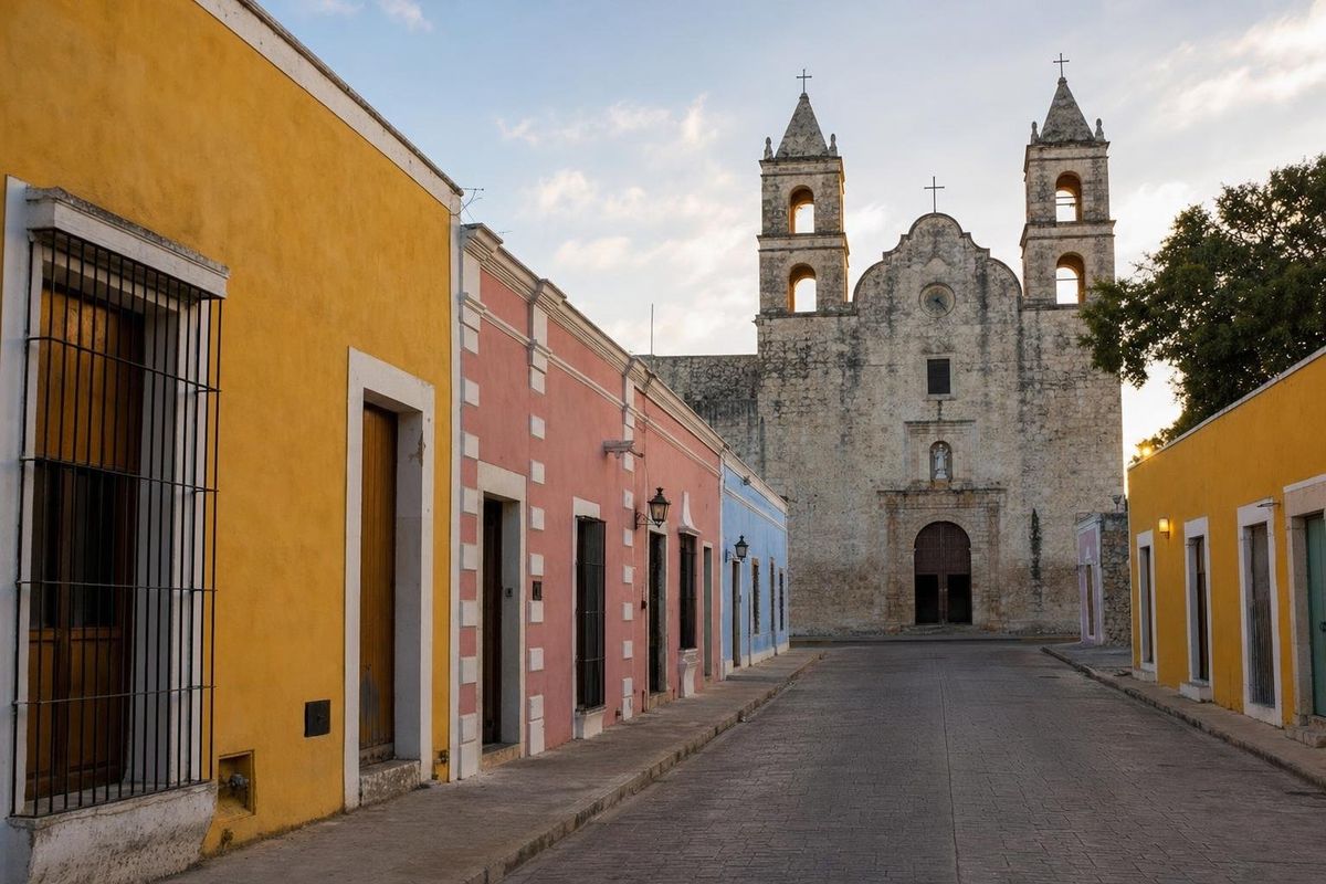
Valladolid, a colonial town in eastern Yucatán, sits within an hour's drive of Chichén Itzá, Ek' Balam and dozens of cenotes, which makes it the best base for this part of the peninsula. This suggested four-day route uses the town for every night: one day in Valladolid itself, one for Chichén Itzá at opening time, one for Ek' Balam and nearby cenotes, and a final day either north to the flamingo coast or southeast to a monkey reserve.
Why base yourself in Valladolid
Valladolid was founded by the Spanish in the 1540s on the site of a Maya town called Zací, and its center keeps a grid of single-story colonial houses in strong colors around a main square and the cathedral of San Servacio. The town has a turbulent history. Its events in the summer of 1847 are often counted as the start of the Caste War, and an uprising here in 1910 is remembered locally as an early spark of the Mexican Revolution.
Practically, its location is the point. Chichén Itzá lies about 40 kilometers west, Ek' Balam about 30 kilometers north, and the coast at Río Lagartos a couple of hours north. Staying here rather than in Cancún or Mérida means arriving at the big sites before the tour buses, and spending evenings in a real town.
Day by day
| Day | Route | Main stops | Overnight |
|---|---|---|---|
| 1 | Valladolid on foot | Main square, Calzada de los Frailes, San Bernardino convent, Cenote Zací | Valladolid |
| 2 | West to Chichén Itzá | Chichén Itzá, a cenote on the way back | Valladolid |
| 3 | North to Ek' Balam | Ek' Balam, Cenote X'Canché, a cenote near Temozón or Dzitnup | Valladolid |
| 4 | North coast or southeast forest | San Felipe, Isla Cerritos, Río Lagartos, or Punta Laguna | Valladolid |
Day 1: Valladolid itself
Start at the main square, where women sell embroidered huipiles and food stalls open in the evening. Southwest of the center, the Calzada de los Frailes, a straight colonial street of restored houses, leads to the former Franciscan convent of San Bernardino de Siena in the Sisal neighborhood, a massive sixteenth-century building with a fortress-like facade. In the afternoon, Cenote Zací, an open cavern pool right in town, is the place to cool off. It gave the Maya town its name and has a swimming area under a stone overhang.
Day 2: Chichén Itzá at opening time
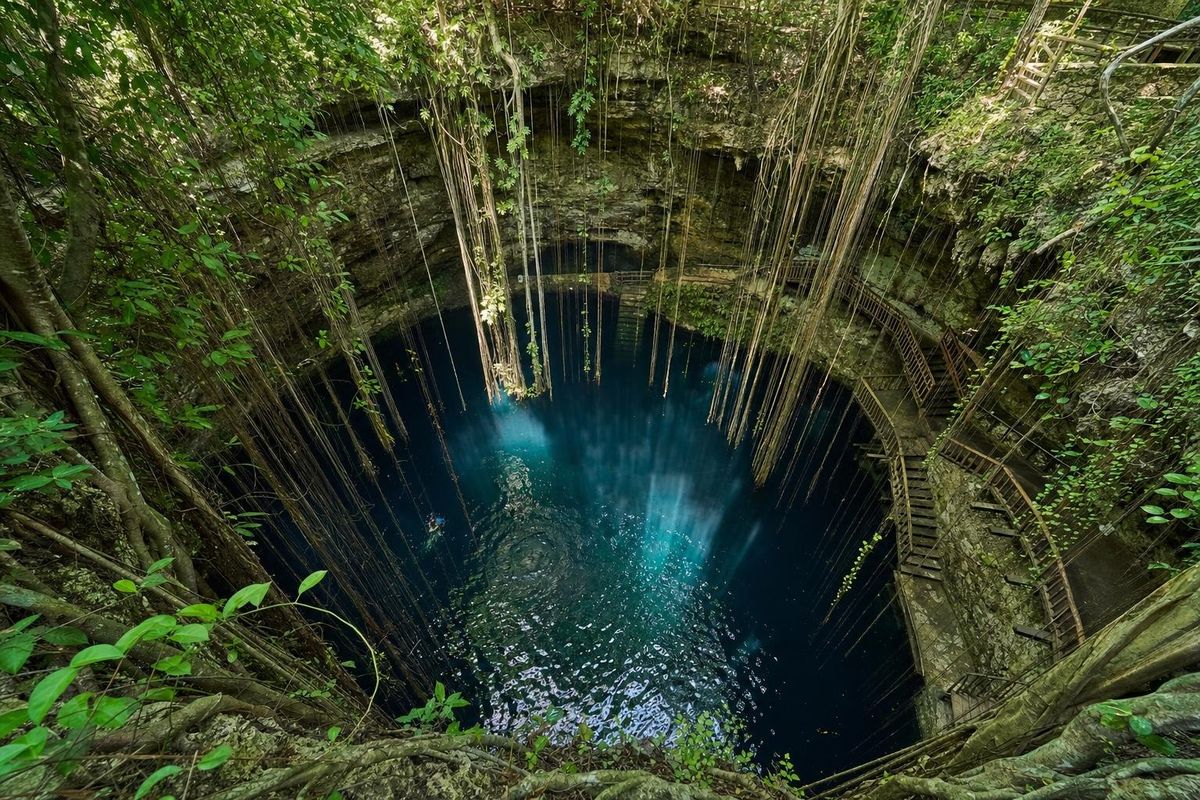
Leave Valladolid before dawn to be at Chichén Itzá when the gates open, under an hour west by road. The first two hours, before the tour groups arrive from the coast, are the best of the day: cooler, quieter and with low light on El Castillo and the Temple of the Warriors. On the way back, several swimmable cenotes lie close to the highway, among them Ik Kil, a deep round pool with vines hanging from the rim, and quieter ones near the village of Yokdzonot.
Day 3: Ek' Balam and the cenotes to the north
Ek' Balam, about half an hour north of town, was a powerful Classic Maya city whose Acropolis hides one of the finest stucco facades in the Maya world. Its upper level frames a tomb entrance as a monster mouth, flanked by winged figures and the seated image of a ruler, preserved because it was buried under later construction. A short path or a bicycle ride from the ruins leads to Cenote X'Canché for a swim.
On the way back, two cenote options fit in. Hubiku, near Temozón, is a large cavern cenote with a hole in its roof and shafts of light on the water. The Dzitnup cenotes, X'keken and Samulá, are a short drive west of Valladolid and both lie under domed cave roofs.
Day 4: flamingos or monkeys
Two different final days are possible. Heading north for about two hours brings you to Río Lagartos, a fishing town in a coastal biosphere reserve where boat trips go out to see American flamingos, especially numerous from spring to early summer, and the pink salt ponds near Las Coloradas. A little further west, San Felipe is the departure point for Isla Cerritos, a small island that served as a port for Chichén Itzá.
Alternatively, drive southeast toward Cobá to Punta Laguna, a community-run forest reserve on a lake, where spider and howler monkeys are best seen early in the morning or late in the afternoon. Cobá's ruins are close by for those with energy left.
Food and evenings in town
Valladolid has its own place in Yucatecan cooking. Its smoked sausage, longaniza de Valladolid, is sold in the market and grilled at stalls, and lomitos de Valladolid, pork cooked in a tomato sauce, appear on menus around the center. The municipal market, a few blocks from the main square, is the place for breakfast, fresh juices and fruit.
In the evening, the main square is the center of town life. Families sit on the confidenciales, the S-shaped double benches found in Yucatecan plazas that let two people face each other while talking, and vendors sell marquesitas, rolled crisp crêpes filled with cheese. At the convent of San Bernardino, a light-and-sound show has been held on some evenings; schedules change, so ask in town.
Getting around
A rental car gives the most freedom, especially for day 4 and for cenote-hopping. The toll highway and the free road both connect Valladolid with Chichén Itzá. Without a car, buses link Valladolid with Chichén Itzá, and colectivos run to Ek' Balam's nearest village and to the Dzitnup cenotes; taxis can be hired for half or full days. Schedules change, so check locally the day before. Speed bumps at village entrances and unlit rural roads make daytime driving the safer choice.
Season and practical notes
The months from November to April are the most comfortable, with lower humidity and little rain. April and May are hot, and the rainy season from about June to October brings afternoon showers; hurricane season runs from June to November, with the greatest risk late in the season. Equinox week in March brings large crowds to Chichén Itzá.
Opening times and fees at the ruins and cenotes change and should be confirmed locally. At every cenote, rinse off sunscreen and repellent before swimming, and use life jackets where they are required. A swimsuit, a small towel and water shoes are worth keeping in the car all four days. More itineraries are in the trips section.
With a car and a spare hour, Uayma, a village about 15 kilometers northeast of Valladolid, is worth the detour for its church of Santo Domingo, a colonial building whose facade was repainted in bold red, white and black geometric patterns during its restoration. It is a short stop on the road toward Tizimín and the north coast.
Valladolid trip: common questions
Is Valladolid a good base for Chichén Itzá?
Yes. It is under an hour away by road, which makes it easy to arrive at opening time before the crowds.
How many days do you need around Valladolid?
Three days cover the town, Chichén Itzá and Ek' Balam. Four allow a day trip to the coast at Río Lagartos or to Punta Laguna.
Can you swim in cenotes near Valladolid?
Yes. Cenote Zací is in town, and Hubiku, X'keken, Samulá, Ik Kil and X'Canché are all within a short drive.
Can you do this trip without a car?
Mostly. Buses, colectivos and taxis reach Chichén Itzá, Ek' Balam and the nearer cenotes. The coast and Punta Laguna are easier with a car or a hired driver.
When is the best time to see flamingos at Río Lagartos?
Flamingos are present much of the year, with larger numbers often seen from spring into early summer. Local boat guides can advise on current conditions.
Nearby on the map
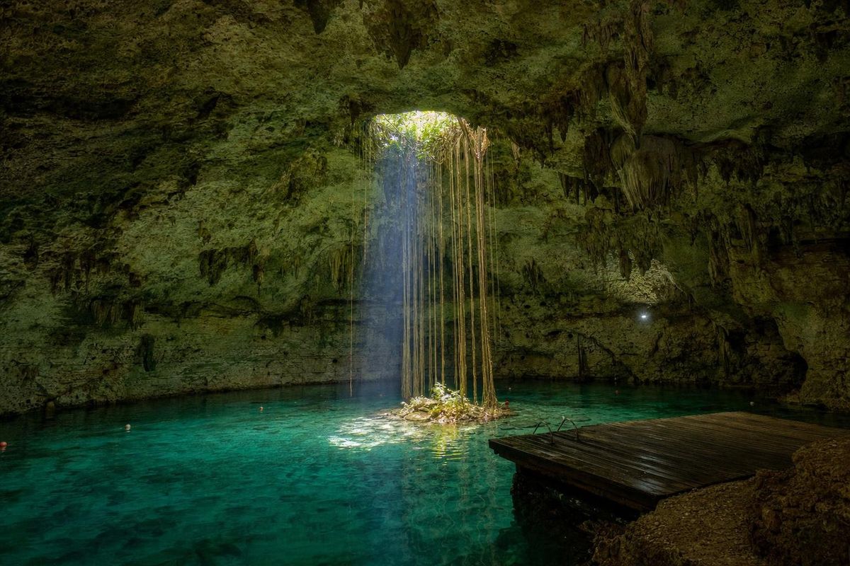
AI-generated image Cenotes · Yucatán
Hubiku
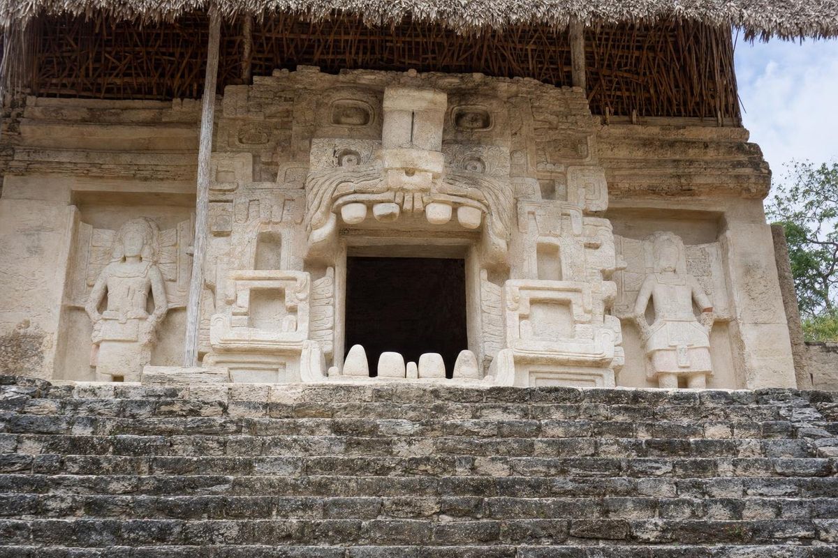
AI-generated image Maya Ruins · Yucatán
Ek Balam
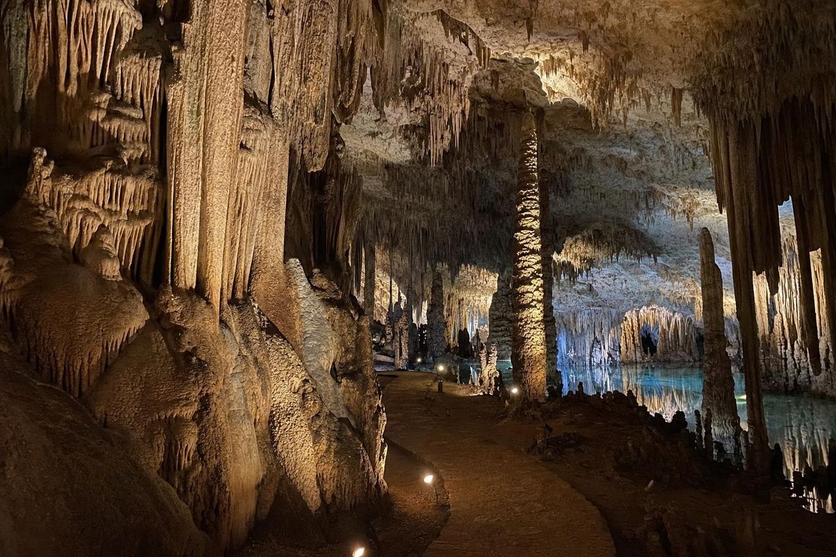
AI-generated image Cenotes · Yucatán
Zazil Tunich
AI-generated image Cenotes · Yucatán
Xcajum