
−20 m · Stone · Maya Ruins · Yucatán
Ek Balam Ruins: the Acropolis Tomb and Its Winged Stucco Figures
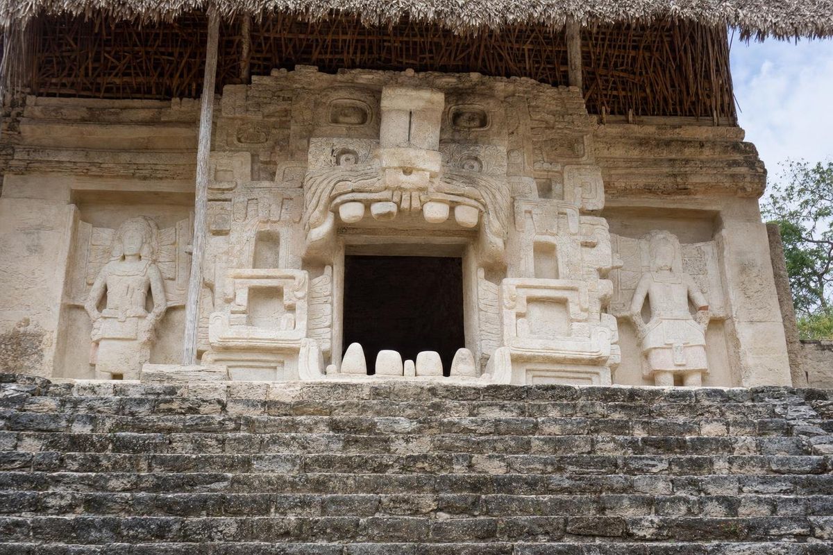
The Ek Balam ruins lie about 30 kilometers north of Valladolid in eastern Yucatán, and they hold some of the best-preserved stucco sculpture in the Maya world. The city was the capital of a kingdom called Talol in the late eighth and ninth centuries, and its huge Acropolis contains the tomb of its first great king, entered through a sculpted monster mouth guarded by winged figures. The site is much smaller and quieter than Chichén Itzá, about an hour's drive to the west.
Black jaguar or star jaguar
Balam means "jaguar" in Yucatec Maya, and it is still a common surname in the region. Ek is less clear: it can mean "black" or "dark", and also "star". Most writers translate the name as Black Jaguar, while some prefer Star Jaguar. A colonial-era document records a local tradition that the city was founded by a lord named Ek Balam, but it is not certain how far back the name goes; the inscriptions themselves name the kingdom Talol.
A short history of the Ek Balam ruins
Pottery shows that people lived here in the Middle Preclassic, centuries before the Common Era, though their wooden houses left little trace. The stone city visible today was built mostly in the Late Classic, and its high point came quickly. According to the inscriptions, a lord called Ukit Kan Le'k Tok' arrived at Ek Balam in 770, possibly from the south, and took the throne soon afterwards. Whether he came as a conqueror or through an alliance is not known. He ruled until his death around 801, and his reign turned the city into the dominant power of northeastern Yucatán.
Several successors are named in the texts. One of them seems to be mentioned in an inscription at Chichén Itzá in the late ninth century, which suggests close ties between the two cities at the moment when Chichén was rising. By the tenth century Chichén Itzá had overtaken its neighbor, and Ek Balam's monumental building came to an end, although people continued to live in the area. At the time of the Spanish conquest the region belonged to the province of the Cupul.
The site was mapped in the 1980s by William Ringle and George Bey. Large-scale excavation and restoration by INAH began in the 1990s under Leticia Vargas de la Peña and Víctor Castillo Borges, and it was their team that uncovered the tomb façade on the Acropolis in the late 1990s.
The Acropolis and the tomb of Ukit Kan Le'k Tok'
The Acropolis is the largest building at the site, a stepped mass about 160 meters long and around 30 meters high, with a wide central stairway and many rooms built into its levels. Climbing it has generally been allowed, and from the top the view runs across flat forest in every direction.
Two-thirds of the way up, sheltered under a palm roof, is the reason most people come. The doorway of the king's tomb is framed by a giant open mouth with teeth and fangs, which earlier writers called a jaguar and which most researchers now read as a witz, the living mountain whose mouth opened onto the underworld. Around it stand human figures with feathered wings attached to their backs, sometimes called the "angels" of Ek Balam. They are not angels in any Christian sense; suggestions include ancestors, dancers in winged costumes, warriors or supernatural attendants who escort the dead king. The warriors page looks at related imagery. The stucco survived because the façade was deliberately covered with stones in antiquity.
Inside the tomb, archaeologists found the king's remains with thousands of offerings: jade, shell, pottery, obsidian and a gold piece thought to come from Central America. Painted capstones portray the ruler, in one case as the maize god, and inscriptions name him repeatedly. Studies of the skeleton by the physical anthropologist Vera Tiesler indicate an older man with a damaged upper jaw, which may explain why a portrait of him shows an unusual lip. Many finds from the tomb are now in museums in Mérida.
Other things to see
The walls and the arch
Ek Balam had two concentric low stone walls around its center, and a third, partial line further out. Visitors enter through a corbel arch in the outer wall, the end point of a sacbe, a raised causeway that ran out into the countryside.
The Oval Palace and the Twins
The Oval Palace, also called La Redonda, is a rounded, many-layered building that held burials and is often linked with sky watching. Nearby, two matching temples on one platform are known as the Twins. Most of the city's dozens of other mounds are still covered by forest.
The ballcourt and Stela 1
A small ballcourt sits between the main plazas, and Stela 1, carved with a ruler and a seated ancestor above, stands near the Acropolis under a roof. The ballplayers page covers the game.
Getting there and nearby
From Valladolid, a road runs north toward Tizimín; the Ek Balam turn-off and the village of the same name are about half an hour's drive from town. Colectivos and taxis cover the route, but times vary, and a car is easiest. Chichén Itzá is roughly an hour west, and the colonial town of Izamal makes a longer day trip. Close to the site, the community-run cenote X'Canché offers a swim after the ruins.
When to go and what to expect
Eastern Yucatán is hot for most of the year, and April and May, before the rains, are the hottest months of all. From roughly June to October the afternoons bring short, heavy storms and the forest around the site turns deep green; the Atlantic hurricane season covers the same months. The winter months are the most comfortable and also the busiest. Whatever the season, the site has little shade outside the forest edges, and the stucco façade is best seen in the soft light of the morning, before the sun moves round onto the Acropolis stairway. Paths between the groups are short and mostly flat, but the Acropolis steps are high and uneven, and the stairway has no handrail in places. The village of Ek Balam itself is small and mostly Maya-speaking, a quiet place of thatched houses and house lots enclosed by dry-stone walls.
The site is run by INAH; fees and opening times change and should be checked locally or on the INAH website. Arrive early, when the Acropolis stairway is in shade and before tour groups from the coast arrive. Bring water and a hat. Allow about two hours. More sites are gathered in the Maya ruins section.
Ek Balam: common questions
Where are the Ek Balam ruins?
About 30 kilometers north of Valladolid in eastern Yucatán, near the village of Ek Balam on the road toward Tizimín.
Can you climb the Acropolis at Ek Balam?
Climbing has generally been allowed in recent years, but rules at Mexican sites change, so check on arrival.
What does Ek Balam mean?
Balam means jaguar. Ek can mean black or star, so the name is translated as Black Jaguar or Star Jaguar.
Who are the winged figures on the Acropolis?
Stucco human figures with feathered wings around the royal tomb. Scholars have suggested ancestors, ritual dancers, warriors or supernatural escorts for the dead king; there is no agreed answer.
Is Ek Balam better than Chichén Itzá?
It is much smaller, but quieter and with finer stucco. Many travelers visit both, since they are about an hour apart.
Is there a cenote near Ek Balam?
Yes, the cenote X'Canché lies close to the archaeological site and is run by the local community.
Nearby on the map
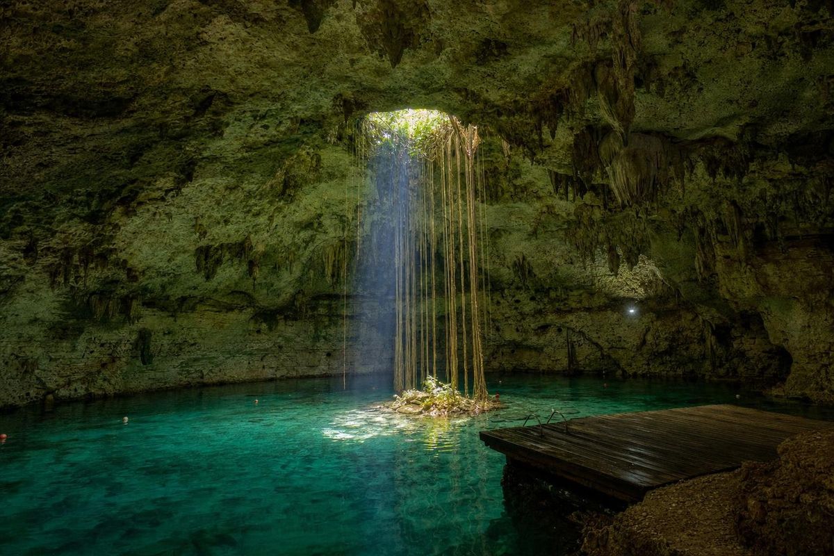
AI-generated image Cenotes · Yucatán
Hubiku
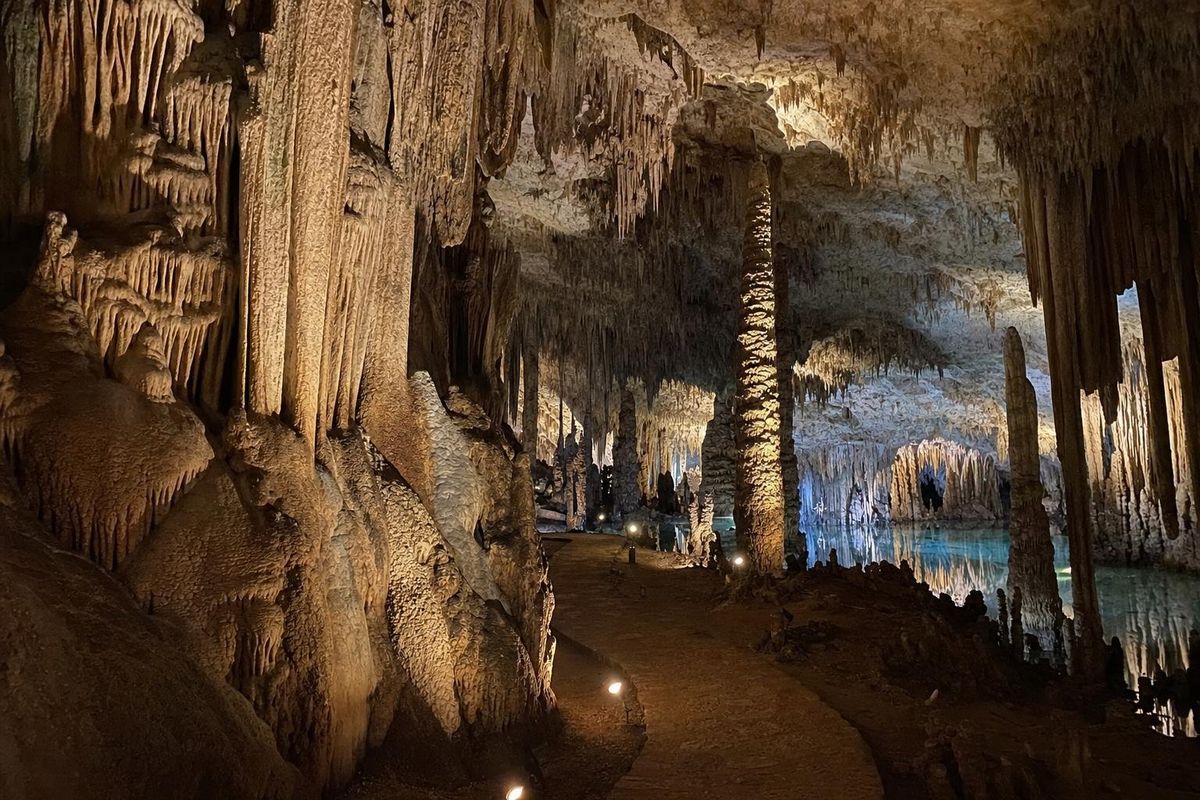
AI-generated image Cenotes · Yucatán
Zazil Tunich
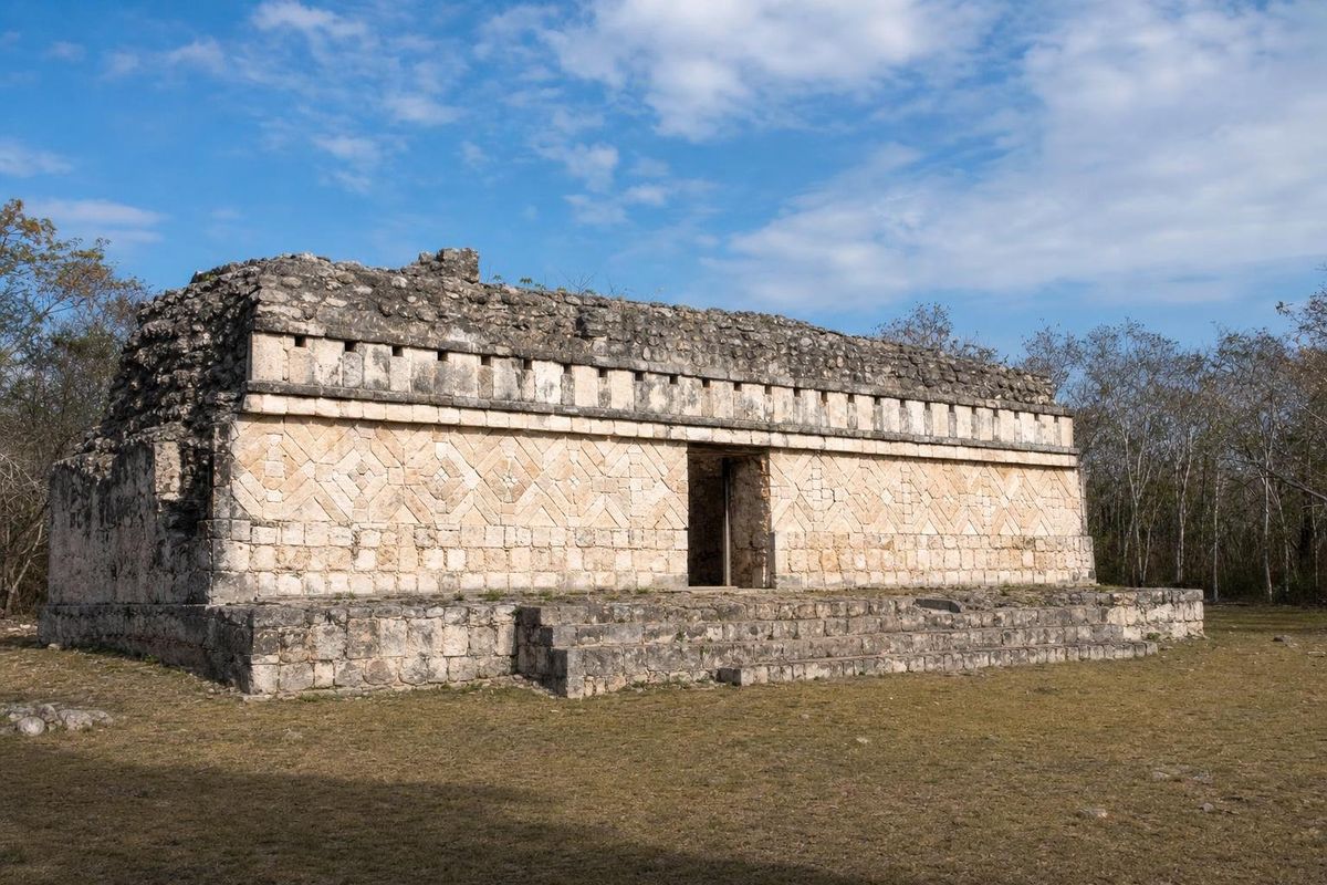
AI-generated image Maya Ruins · Yucatán
Kulubá
AI-generated image Trips · Yucatán
Around Valladolid