
−20 m · Stone · Maya Ruins · Quintana Roo
Chacchoben Mayan Ruins: Forest Temples Near Bacalar and Costa Maya
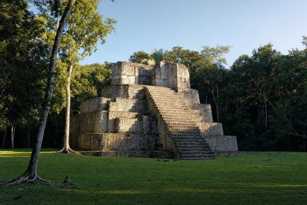
Chacchoben is a Maya city in the forest of southern Quintana Roo, a short drive north of the Bacalar lagoon and the largest excavated site of the lake district. Its main temples date from roughly 300 to 700, stand on a great raised platform, and are shaded by mahogany, ceiba and palms. Since it lies within reach of the cruise port at Costa Maya, the Chacchoben ruins can be busy on some days and almost empty on others.
The place of red corn
No inscription with the city's ancient name has been read. The modern name comes from the village of Chacchoben, a few kilometers away on the highway, and is usually translated from Yucatec Maya as "place of red corn". The site was first reported in the early 1970s by the American archaeologist Peter Harrison, who mapped it while working in southern Quintana Roo. Before that, a Maya farmer had settled on the land in the 1940s and lived among the mounds for decades; he later served as the site's guardian. INAH began excavations in the mid-1990s, and the restored area opened to the public in 2002.
History of the Chacchoben Mayan ruins
Small farming hamlets existed around the lakes of this region in the late Preclassic, and pottery shows that people were living at Chacchoben a few centuries before the Common Era. The city grew in the Early Classic, and most of the buildings visible today were raised between about 300 and 700. Only a fraction of the settlement has been excavated, and the restored core is the ceremonial center where the ruling families lived and held public rites.
The architecture mixes several traditions. The earliest buildings follow the Petén style of northern Guatemala, with rounded corners on their platforms and broad stairways, which points to strong links with the southern lowlands. Later work shows traits of the Río Bec region to the west. Its position between the Caribbean coast, the Bacalar lagoon and the inland cities of the Río Bec probably made Chacchoben a stop on overland and canoe routes. Two stelae have been found, but both are too eroded to read; one shows a seated ruler surrounded by calendar glyphs. The site appears to have lost importance by about 1000, though offerings left later in its temples show that people still came to worship there long after.
What to see
Temple 24
The first large building on the path from the entrance is a temple on a stepped base. Its sides face different spaces, and on one side a broad open area may have been used for gatherings and ceremonies. Traces of painted plaster survive on parts of the building, and archaeologists found fragments of a mural here, too damaged to say with certainty what it showed.
The Gran Basamento
The heart of the city is a huge artificial platform, several meters high, that carries its own plaza. A stairway leads up to it. On top stand Temple 1, the tallest structure at the site with its rounded corners and steep stairway, the Temple of the Vessels (Las Vasijas), named after offerings found inside, and a pair of matching buildings known as the Twin Temples (Los Gemelos). Some researchers have suggested that the alignment of buildings on the platform marks sunrise points at certain times of year, a common idea at Maya sites and one that is hard to prove here. Climbing the temples is generally not permitted.
The forest itself
Much of the visit is a walk under tall trees: ceiba, the sacred tree of the Maya, ramón, chicozapote that was once tapped for chicle, and cohune palms. Howler and spider monkeys live in the area, and agoutis and coatis cross the paths. Birdlife is good, especially early in the day, when parrots and toucans are often heard before they are seen.
Living from the forest
The people of Chacchoben were farmers first. Like Maya families today, they planted milpas of maize, beans and squash in clearings that were farmed for a few years and then left to return to forest, and they probably managed raised fields in the wetter ground near the lakes. The forest itself was an orchard: ramón trees gave nuts that could be ground into flour in hard years, ceiba supplied fiber and canoe trunks, and copal resin was burned as incense in the temples. Keeping stingless Melipona bees in hollow logs is an old Maya practice across the peninsula, and the honey and wax they produced were valued goods in trade along the coast. Commoners lived in houses of poles and palm thatch spread through the countryside, much like the rural houses still seen in villages along the highway, while the stone buildings were reserved for the rulers and for ritual.
Getting to Chacchoben
The site lies west of federal highway 307, the road that runs between Bacalar and Felipe Carrillo Puerto, and is reached by a side road of several kilometers. From Bacalar the drive is well under an hour; from Chetumal it is a little longer. Visitors coming off ships at Costa Maya, near Mahahual, usually come by tour, since the drive inland takes more than an hour each way and public transport does not reach the ruins. Independent travelers with a car have the most freedom, and the turn-off from the highway is easy to miss, so it helps to save the route before leaving town.
Practical notes
Chacchoben is managed by INAH; fees and opening times change, so check them locally or on the INAH website. The busiest hours are when cruise passengers arrive, typically on days when ships are in port at Costa Maya, so it is worth finding out the ship schedule before going. Early morning is quieter and better for wildlife. Bring insect repellent, water and closed shoes; the paths are shaded but humid, and the rainy season from roughly June to October brings mosquitoes. A visit of about an hour and a half covers the restored area.
The ruins pair well with a day on the lagoon at Bacalar or a swim at Cenote Azul. Further west, the Río Bec sites of Kohunlich and Dzibanché show the next chapter of the same architectural story. Other ancient cities are listed in the Maya ruins section.
Chacchoben: common questions
Where are the Chacchoben ruins?
In southern Quintana Roo, west of highway 307 between Bacalar and Felipe Carrillo Puerto, a short drive from the Bacalar lagoon.
What does Chacchoben mean?
It is usually translated as "place of red corn". The name comes from the nearby village; the city's ancient name is not known.
Can you climb the temples at Chacchoben?
Generally no. The restored temples are viewed from the plazas and paths, and some areas are roped off.
How far is Chacchoben from the Costa Maya port?
The drive inland from the Mahahual and Costa Maya area takes more than an hour each way, which is why most cruise visitors come on organized tours.
Is Chacchoben worth visiting without a cruise?
Yes, especially from Bacalar. On days without ships in port it is quiet, and the forest setting and wildlife are a large part of the visit.
Nearby on the map
AI-generated image Lakes & Rivers · Quintana Roo
Bacalar
AI-generated image Maya Ruins · Quintana Roo
Oxtankah
AI-generated image Towns & Villages · Quintana Roo
Calderitas
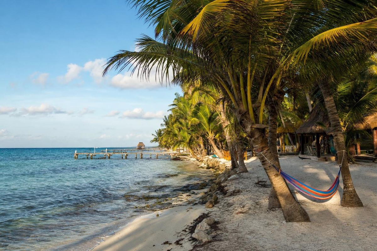
AI-generated image Beaches · Quintana Roo
Mahahual