
−5 m · Shallows · Towns & Villages · Yucatán
Celestún: Flamingos, the Biosphere Reserve and a Gulf Coast Beach
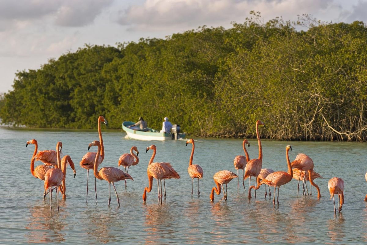
Celestún is a fishing town at the western end of Yucatán's Gulf coast, where a long, shallow estuary full of American flamingos meets a wide, quiet beach. Most Celestún Mexico trips start in Mérida, about 95 kilometers inland, and combine a boat ride into the biosphere reserve with a seafood lunch on the sand. The flamingos are there in some numbers all year, but the big winter flocks are the reason most people come.
Why Celestún draws people to the end of the road
Highway 281 runs west from Mérida through henequén country and small towns, then crosses a bridge over a channel of tea-colored water and stops. That channel is the ría, a narrow estuary that runs parallel to the coast for many kilometers, fed by freshwater springs on the land side and by the Gulf at its southern mouth. The mix of fresh and salt water, warm shallows and mangrove roots makes it one of the richest feeding grounds on the peninsula, and since 2000 it has been protected as the Ría Celestún Biosphere Reserve, which also reaches south into Campeche.
The town itself is small and practical. Fishing launches sit pulled up on the beach, pelicans wait near the boats, and the streets behind the seafront are low concrete houses painted in whatever color was on hand. Celestún is not a resort, and that is the appeal.
The Maya name is usually translated as "painted stone", though the origin is not settled. The name often appears without its accent on maps and booking sites, so expect both spellings when planning a Celestún Yucatán trip.
Seeing the flamingos of Celestún
The birds are American flamingos, the brightest of the flamingo species. Their color comes from carotenoid pigments in the brine shrimp, small crustaceans and algae they filter out of the mud, which is why birds in the saltier, food-rich parts of the estuary look the deepest pink. Celestún is mainly a feeding and wintering area; the large breeding colonies of the Yucatán flamingo population are on the north coast around Ría Lagartos, not far from El Cuyo.
Numbers rise through the autumn and are usually highest from about November to March, when thousands of birds can gather in the upper part of the ría. In the hot summer months smaller groups stay, and in some years the main flocks feed further from the boat routes. No guide can promise a particular count on a particular day.
- Morning trips tend to have softer light and calmer water than the afternoon.
- Binoculars help more than a long lens: boats must stay well back from the flocks.
- A flock that lifts off because a boat came too close has lost feeding time, so a good boatman cuts the engine and drifts.
Inside the biosphere reserve by boat
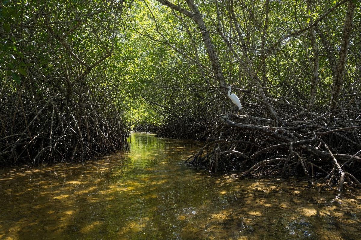
Boat tours leave from two places: a dock by the bridge on the way into town, and the beach in town itself. Trips from the beach run along the coast first and enter the estuary from the sea, so they take longer; trips from the bridge go straight into the ría. Either way the standard loop through the biosphere reserve takes in the flamingo flats, a stretch of dead, bleached mangrove often called the petrified forest, a bird island where cormorants and frigatebirds roost, and a tunnel through the mangroves to a freshwater spring where swimming is sometimes allowed.
For Celestún Mexico boat tours, prices, group sizes and departure times are set locally and change often, so check them on arrival rather than relying on an old figure. Boats are shared or private, and a private boat simply lets you set the pace. The ecology of the reserve, its mangrove types and its springs, is covered in more depth on the page about the Ría Celestún Biosphere Reserve.
Beyond flamingos, birders come for herons, egrets, roseate spoonbills, ospreys and wintering ducks. The reserve has a very long bird list, often given as around 300 species, and a quiet hour at the edge of the mangroves usually turns up kingfishers and something unexpected.
The beach and the fishing town
The beach at Celestún runs for kilometers in both directions from the town. The sand is pale and fine, the Gulf here is shallow and usually calm, and the water is often a cloudy green rather than Caribbean turquoise, because the seabed is muddy and rich in plankton. Families from Mérida come on Sundays and holidays; on a weekday the beach can be almost empty a short walk north of the seafront.
Seafood is the other draw: fish fried whole, ceviche, octopus, and crab from the estuary. The seafront restaurants sit right on the sand, and the boats that caught lunch are usually in sight.
North of town the coast road runs past the ruins of an old salt hacienda and on towards empty beach. South, the shore turns into mangrove and the protected area takes over, so there is little reason to drive that way.
Getting to Celestún Yucatán from Mérida
By car, leave Mérida westbound towards Umán and follow the signs for Celestún on Highway 281 through Kinchil. The road is flat and straight, and the drive is usually about an hour and a half to two hours, depending on traffic on the way out of the city. The last stretch crosses the bridge over the ría, where the bridge dock is on the left.
Second-class buses run from Mérida to Celestún several times a day, and organized day trips are sold all over Mérida's center. Timetables change, so confirm departures in Mérida. A Celestún Yucatán day trip is easy to do, but an overnight stay lets you be on the water early, when the light and the birds are at their best.
Other ideas for the region, from the pink salt lagoon at Xtampú to the cenotes south of Mérida, fit around a stay in the city; see the Mérida page for the base.
When to go
For flamingos, winter is best. The winter months also bring the nortes, cold fronts that can blow for a day or two, chill the air, stir up the Gulf and cancel boat trips. Spring is hot and dry, with good flamingo numbers often holding into March. Summer is very hot and humid, and the hurricane season, roughly June to November, brings heavy rain and the occasional storm. Sargassum is mainly a Caribbean problem and is much less of an issue on this coast, though seaweed and storm debris do wash up after rough weather.
Weekends and the Easter and summer school holidays are busy with visitors from Mérida, and that is when Celestún Mexico's beach restaurants are at their loudest. Midweek in February is close to ideal for a Celestún Yucatán visit: big flocks, fewer boats, and nortes that rarely last more than a couple of days.
Practical notes
- Bring sun protection, a hat and water for the boat; there is little shade on the estuary.
- Mosquitoes and small biting flies can be fierce at dusk and near the mangroves.
- Use reef-safe sunscreen or rinse before swimming at the spring.
- Do not ask the boatman to drive into a flock for a photo. The reserve is managed by CONANP, and approaching the birds is against its rules.
- Cash is useful; card payment and ATMs in town are not always reliable.
More coastal and inland towns are collected under Towns & Villages.
Celestún questions
When is the best time to see flamingos in Celestún?
Flamingo numbers are usually highest from about November to March, when large winter flocks feed in the estuary. Smaller groups are present for the rest of the year, but the birds may feed further from the boat routes.
Can you swim at the beach in Celestún?
Yes. The Gulf is shallow and usually calm here, though the water tends to be greenish rather than clear. During winter cold fronts the sea can be rough for a day or two.
Is Celestún worth a day trip from Mérida?
It is one of the easiest day trips from the city, at roughly 1.5 to 2 hours each way by road. Staying a night makes an early boat ride possible, which is when light and wildlife are usually best.
Where do the flamingo boat tours leave from?
From a dock by the bridge on the road into town and from the beach in town. Tours from the bridge enter the estuary directly; tours from the beach travel along the coast first.
Do flamingos breed in Celestún?
Celestún is mainly a feeding and wintering ground. The main nesting colonies of the Yucatán flamingos are on the north coast in the Ría Lagartos area.
Nearby on the map
AI-generated image Lakes & Rivers · Yucatán
Celestún Reserve
AI-generated image Maya Ruins · Yucatán
Oxkintok
AI-generated image Haciendas · Yucatán
Hacienda Ochil
AI-generated image Towns & Villages · Yucatán
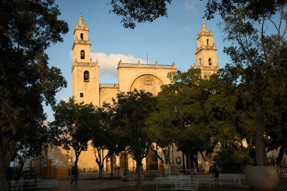
Mérida