
−5 m · Shallows · Cenotes · Quintana Roo
Cenote Azul: the Blue Cenote Between Playa del Carmen and Tulum
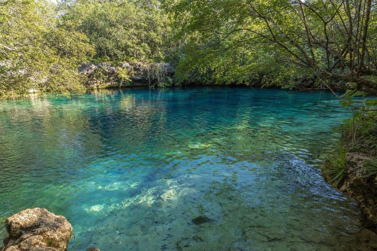
Cenote Azul is an open-air cenote on the jungle side of Highway 307, a little south of Puerto Aventuras and roughly halfway between Playa del Carmen and Tulum. Unlike a cave cenote, this blue cenote is a series of sunlit pools linked by shallow channels, with pale limestone ledges, clear water and plenty of small fish. It is one of the easiest cenotes on the coast to reach and one of the most relaxed for swimmers who are not confident in deep or dark water.
What kind of place the blue cenote is
A cenote is a sinkhole that opens onto the groundwater flowing beneath the Yucatán peninsula's limestone. Some are closed caves, others half-open grottos. Cenote Azul belongs to the fully open type: the roof collapsed long ago and the water lies under open sky, fringed with trees and roots.
The result is less a single pool than a short chain of them. Some stretches are shallow enough to stand on rock shelves, others drop to several meters, and the deepest water shows as a strong, dark blue, which is where the name comes from. In good light the shallower parts look green and turquoise over the white stone. The water is fresh, cool rather than cold, and clear enough that swimmers can see the bottom and the fish from the surface without a mask.
The fish are mostly small freshwater species, including mollies and tetras, which tend to gather around anyone who stands still and occasionally nibble at feet. They are harmless. Freshwater turtles are sometimes seen too.
All of this water is part of the vast aquifer that runs under the Riviera Maya, a network of flooded caves and channels that carries rain from the interior toward the sea. Cenote Azul is one window onto it. That is why the water is so clear, and why what goes into it, from sunscreen to soap, matters well beyond the pool itself.
Swimming, snorkeling and the jump
Most visitors simply swim. The pools are calm, with no current, and the shallow ledges make it easy to rest. A mask and snorkel add a lot: underwater, the edges of the pools show undercut limestone, small caverns and tree roots reaching down into the water, and in the deeper parts the light falls in shafts on a floor of pale rock and leaf litter.
One rock ledge, a few meters above the water, is the usual jumping spot. People queue for it on busy days. The water under it is deep, but check the landing area first and jump only where others are clearly landing safely; the depth changes quickly around the rest of the cenote.
Cenote Azul is not a cave-diving site, and there is no need for a guide to enjoy it. Snorkel gear and life vests are often available to rent at the entrance, but bringing a personal mask is easier and more hygienic.
Getting there from Playa del Carmen or Tulum
The entrance is directly off Highway 307, the four-lane road that runs along the Caribbean coast. From Playa del Carmen it is roughly 25 km south, past Puerto Aventuras; from Tulum it is about 35 km north, past Akumal. Two other well-known open cenotes, Cristalino and Jardín del Edén, are along the same short stretch of highway, which makes it easy to combine two or three in a morning.
By car, look for the signs and the parking area by the road. Because the cenote is on the inland side, drivers coming from the south may need to continue to the next retorno (U-turn point) and come back. Colectivos, the shared vans that run up and down the 307, will stop at the entrance if asked; tell the driver the cenote's name when boarding. Getting back means flagging a colectivo heading in the right direction from the roadside, which is usually straightforward in daylight.
Entrance fees, rental costs and opening hours are set locally and change, so check them on arrival rather than relying on older figures.
When to go
Early morning is best. The cenote opens to a quiet, still surface, the light comes through the trees at a low angle, and the tour vans from the resort towns usually arrive later in the morning. By midday on weekends and holidays, the jump ledge and the main pools can be crowded, especially with families from Playa del Carmen and Cancún.
The cenote can be visited all year. Its water stays at a fairly steady temperature, and it is a useful option when sargassum seaweed covers the beaches in spring and summer, since nothing from the sea reaches it. In the rainy season, roughly June to October, the water can be slightly less clear after heavy storms, and mosquitoes are more active in the surrounding trees.
Practical notes and cenote rules
- Shower or rinse before entering. Sunscreen, insect repellent and lotions pollute the groundwater that the whole coast drinks from, so most cenotes ask visitors to wash them off.
- Life vests may be required for swimmers who are not confident or for children. Follow the staff's instructions.
- Wear water shoes or sandals with grip. The limestone around the pools is uneven and can be slippery.
- Do not stand on or break the rock formations and roots, and do not feed the fish.
- Carry cash. Small cenotes along the highway often do not accept cards.
- Bring a dry bag or leave valuables in the car out of sight.
Facilities are basic: changing areas, toilets and a few benches are typical, but there is usually little food on site, so bring water and a snack.
Not to be confused with other blue cenotes
The name Cenote Azul is common in the Yucatán. The best known other one is in the town of Bacalar, far to the south near Chetumal: a very deep, round sinkhole beside the lagoon, quite different from these shallow linked pools. There are also smaller cenotes called Azul inland in the states of Yucatán and Quintana Roo. When reading reviews or directions, check which one is meant.
On this stretch of coast, Cenote Azul fits easily into a day that also takes in the marina at Puerto Aventuras, the turtle bay at Akumal or the mangrove-fringed Casa Cenote near Tankah. A wider route through the peninsula's sinkholes is laid out in the cenotes of Yucatán trip, and more swimming holes are collected in the cenotes section.
Coming back toward the highway after a swim, look at the edges of the parking area: the low limestone outcrops there are the same rock that forms the cenote's walls, pitted and gray at the surface and pale cream wherever it has broken open.
Cenote Azul questions
Where exactly is Cenote Azul?
It is on the inland side of Highway 307 on the Riviera Maya, a short distance south of Puerto Aventuras, roughly 25 km south of Playa del Carmen and about 35 km north of Tulum.
How deep is Cenote Azul?
Depth varies across the pools, from shallow rock shelves where you can stand to deeper sections of several meters, where the water turns dark blue.
Is Cenote Azul good for children and weak swimmers?
Yes, more than most cenotes. The shallow ledges and calm water suit families, and life vests are usually available. Children should still be supervised, since the depth changes quickly.
Can you dive in Cenote Azul?
It is a swimming and snorkeling cenote, not a dive site. Cave and cavern diving on the Riviera Maya takes place at other cenotes, with certified guides.
Is this the same Cenote Azul as in Bacalar?
No. Bacalar's Cenote Azul is a much deeper sinkhole beside the lagoon in southern Quintana Roo, roughly 250 km away.
Nearby on the map
AI-generated image Cenotes · Quintana Roo
Cristalino
AI-generated image Towns & Villages · Quintana Roo
Puerto Aventuras
AI-generated image Beaches · Quintana Roo
Paamul
AI-generated image Towns & Villages · Quintana Roo
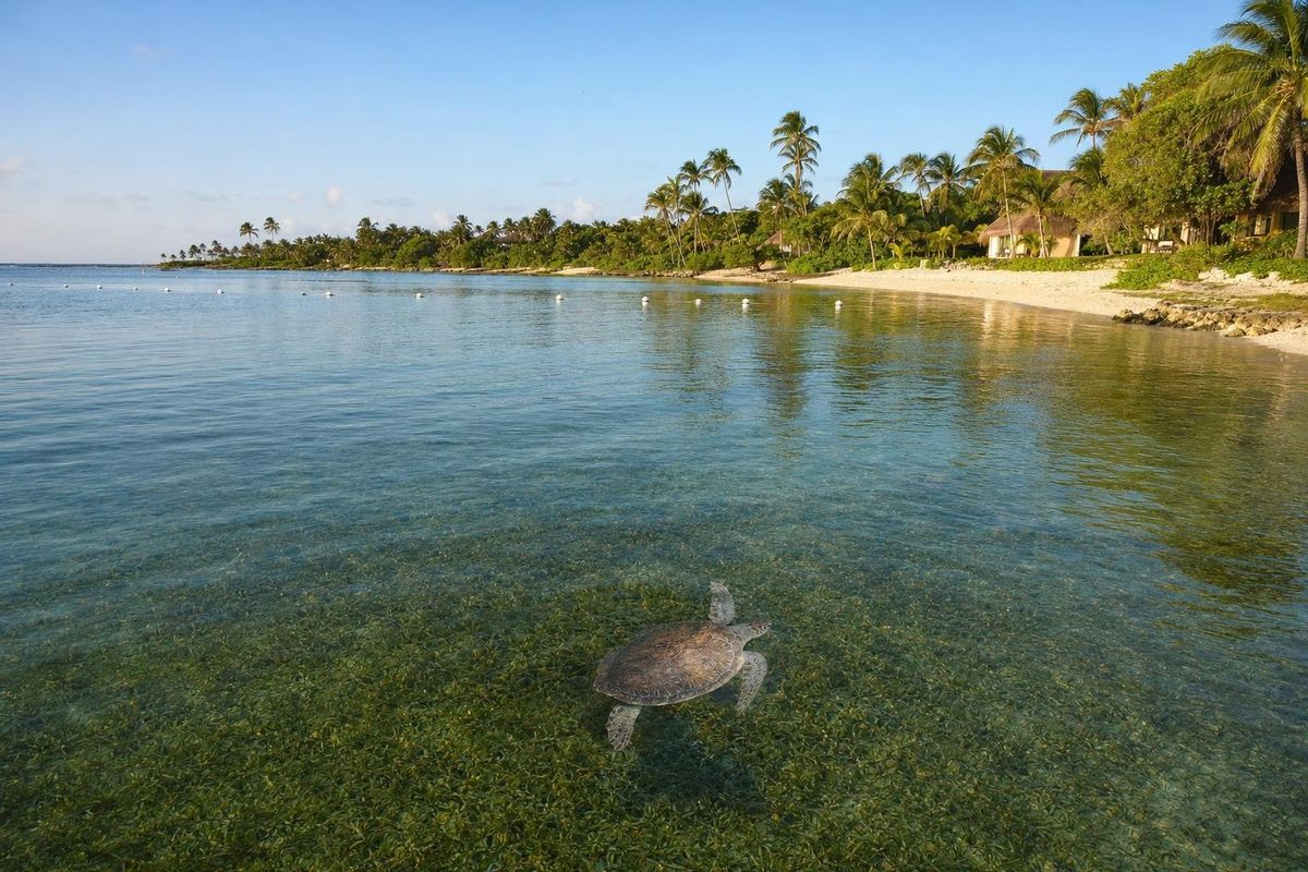
Akumal