
−5 m · Shallows · Beaches · Quintana Roo
Xcalacoco Beach: a Quiet Stretch of Sand North of Playa del Carmen
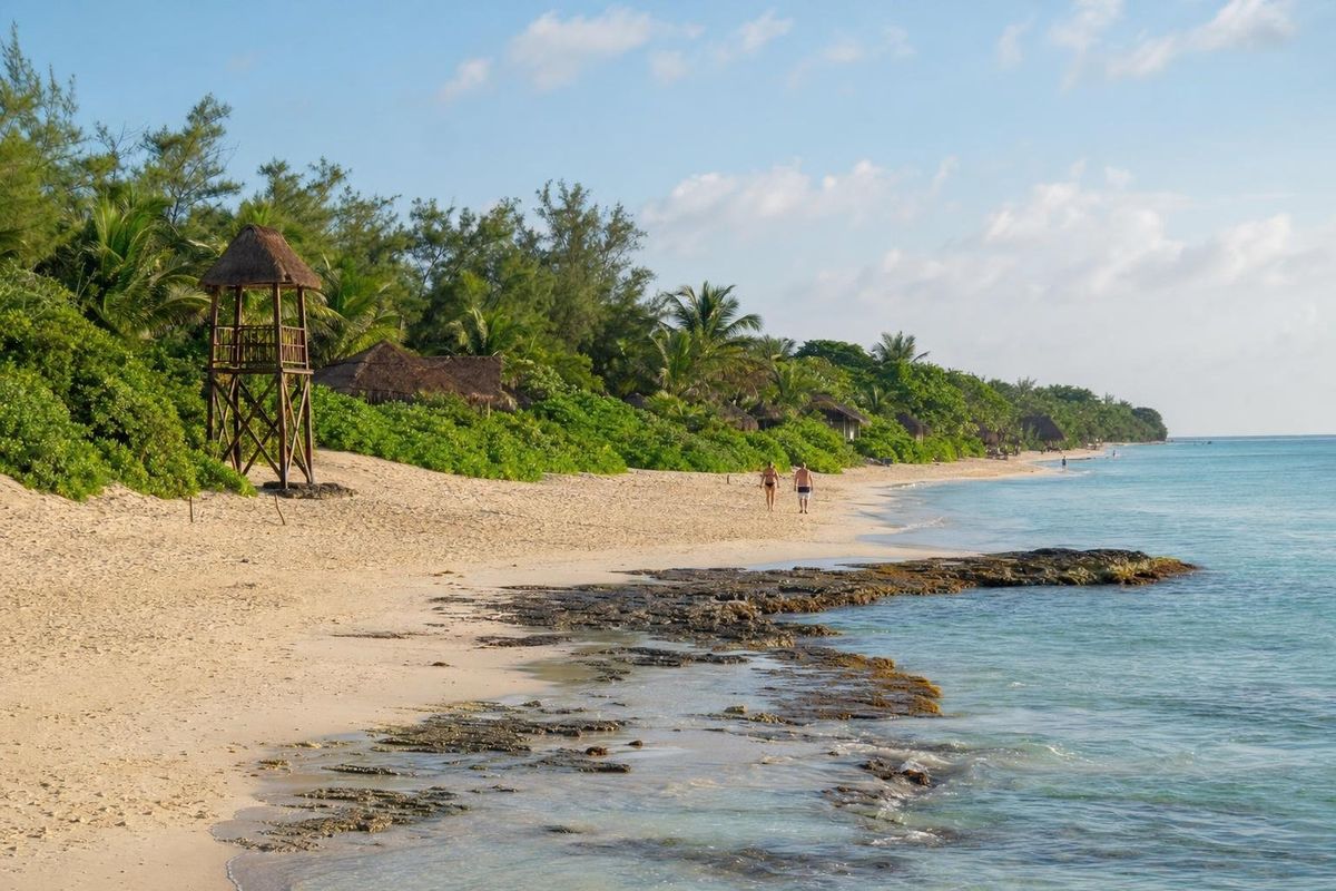
Xcalacoco is a stretch of beach on the Riviera Maya just north of Playa del Carmen, at the end of a short dead-end road off Highway 307. A handful of small resorts and beach houses stand back from the sand, but there is no town, no promenade and no public transport, which keeps it noticeably calmer than the beaches of central Playa. A reef offshore takes the edge off the waves, and a small ancient Maya mound sits right on the public beach.
Playa Xcalacoco at a glance
The beach runs along a few kilometers of shore between Punta Maroma to the north and the northern edge of Playa del Carmen to the south, with the Grand Coral development lying between the beach and the city. Dense coastal jungle comes almost down to the sand, and the buildings along it are mostly low, with thatched roofs and gardens rather than towers.
The name is usually translated from Yucatec Maya as something like "twin coconuts". Locals and maps also write it Xcalacoco or Playa Xcalacoco, and you may see the X pronounced as "sh", as in most Maya place names: "shka-la-KO-ko".
Like every beach in Mexico, the shoreline here is federal land and open to everyone. In practice, access from the road is through a couple of public paths near the end of the side road, and the public section of sand is fairly small. Along the rest of the beach you can still walk and lay out a towel on the open sand in front of the resorts, while loungers and shade belong to the hotels.
The character of the sand changes as you walk. Some parts are soft and open, with gentle entries into the sea; others have flat limestone shelves at the waterline that trap small pools at low tide, where little fish, crabs and snails shelter among the rocks. Breakwaters in front of some properties make calm, shallow swimming areas.
The Maya mound on the sand
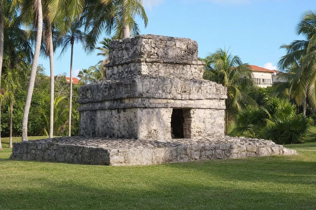
Close to the lifeguard tower on the public part of the beach stands a low, roped-off mound of stone. It is the remains of a small pre-Hispanic structure, one of many that once dotted this coast. In the Postclassic period, roughly the tenth to the sixteenth century, the eastern shore of the peninsula was lined with small settlements, shrines and landing places linked to the canoe trade that ran around the Yucatán, and to the pilgrimage route to the shrine of Ix Chel on Cozumel. Larger examples survive at Xaman Ha in Playacar and at Xcaret to the south.
Other small structures in the area stand inside private resort grounds and are not open to the public. The mound on the beach is not a site you can enter or climb, and it is protected by law: look, but stay outside the rope.
Swimming, snorkeling and paddling
The reef offshore breaks most of the swell, so the water is usually calm enough for relaxed swimming. On the soft-sand sections the entry is gentle; around the rocky shelves, water shoes save your feet. There is some snorkeling around the rocks and over patches of seagrass close to shore, where you may see small reef fish, but the real coral lies further out and should only be reached on an organized boat trip.
Paddleboards and kayaks are sometimes available for rent from beach businesses, and massage tables appear on the sand on busy days. Supplies are thin, though. Some days there may be a stand selling cold coconuts; there are no public restrooms near the public access and little or no food for sale on the public section, so come with water and snacks.
Two private piers jut out from resort frontage. They are not open to the public, and swimmers should keep clear of boats coming and going from them.
Getting to Xcalacoco
From Playa del Carmen, take Highway 307 north toward Cancún. A few kilometers after leaving the city, a signposted side road on the sea side leads to the beach; turning at a set of traffic lights is the safe way to cross. The road passes gated housing developments and ends near the beach after a couple of minutes, where cars are left along the roadside. There is no formal car park and space is limited, so arrive early on weekends and holidays, when local families come up from Playa.
There is no public transport down the side road itself. Colectivos running along Highway 307 between Playa del Carmen and Cancún can drop you at the turnoff, and from there it is a walk of roughly twenty minutes. A taxi from Playa is the simplest option; agree on a pick-up time, since taxis rarely pass the end of the road. Walking along the shore from the north end of Playa del Carmen is possible, but it takes about an hour each way.
When to go and what to expect
The dry season, roughly December to April, is the most comfortable time, with the lowest humidity and the clearest water. In summer the heat is stronger, rain usually comes as short afternoon storms, and sargassum may wash up on this coast in some years, typically between late spring and late summer. The hurricane season runs from June to November.
Sundays and Mexican public holidays bring the most visitors, but compared with the main beaches of central Playa del Carmen, Xcalacoco stays relaxed. A weekday morning, before the wind picks up, is when the water is flattest.
Practical notes
- Bring shade: there is little natural cover on the open sand, and loungers belong to the hotels.
- Use mineral or reef-safe sunscreen, and do not stand on coral or rocks covered in living growth.
- Take your rubbish back with you; there are few bins near the public access.
- Do not leave valuables visible in a parked car on the access road.
- Rental and beach-service prices change; agree on them before you use anything.
To compare the coast nearby, the beach at Punta Maroma lies just to the north and Punta Esmeralda, with its small cenote-fed pool at the shoreline, just to the south. More of the Riviera Maya shore is collected in the beaches section.
Xcalacoco questions
Where is Xcalacoco beach?
Xcalacoco lies on the Riviera Maya coast just north of Playa del Carmen, Quintana Roo, at the end of a short side road off Highway 307.
Is Xcalacoco a public beach?
Yes. As everywhere in Mexico, the shoreline is federal land and open to the public. Access from the road is through public paths near the end of the side road; loungers and shade along the rest of the beach belong to the hotels.
Can you get to Xcalacoco by public transport?
Only part of the way. Colectivos on Highway 307 can drop you at the turnoff, leaving a walk of roughly twenty minutes. A taxi from Playa del Carmen is easier.
Are there Maya ruins at Xcalacoco?
A small roped-off mound near the lifeguard tower on the public beach is the remains of a pre-Hispanic structure. Other small structures stand inside private resort grounds and are not open to the public.
Are there restrooms or food at Xcalacoco?
Not near the public access. Bring water and snacks, and expect to use facilities only if you are a customer of a beach business.
Nearby on the map
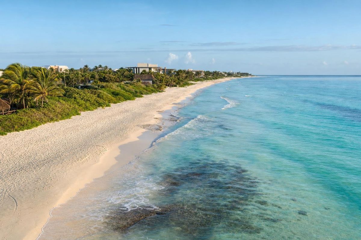
AI-generated image Beaches · Quintana Roo
Grand Coral
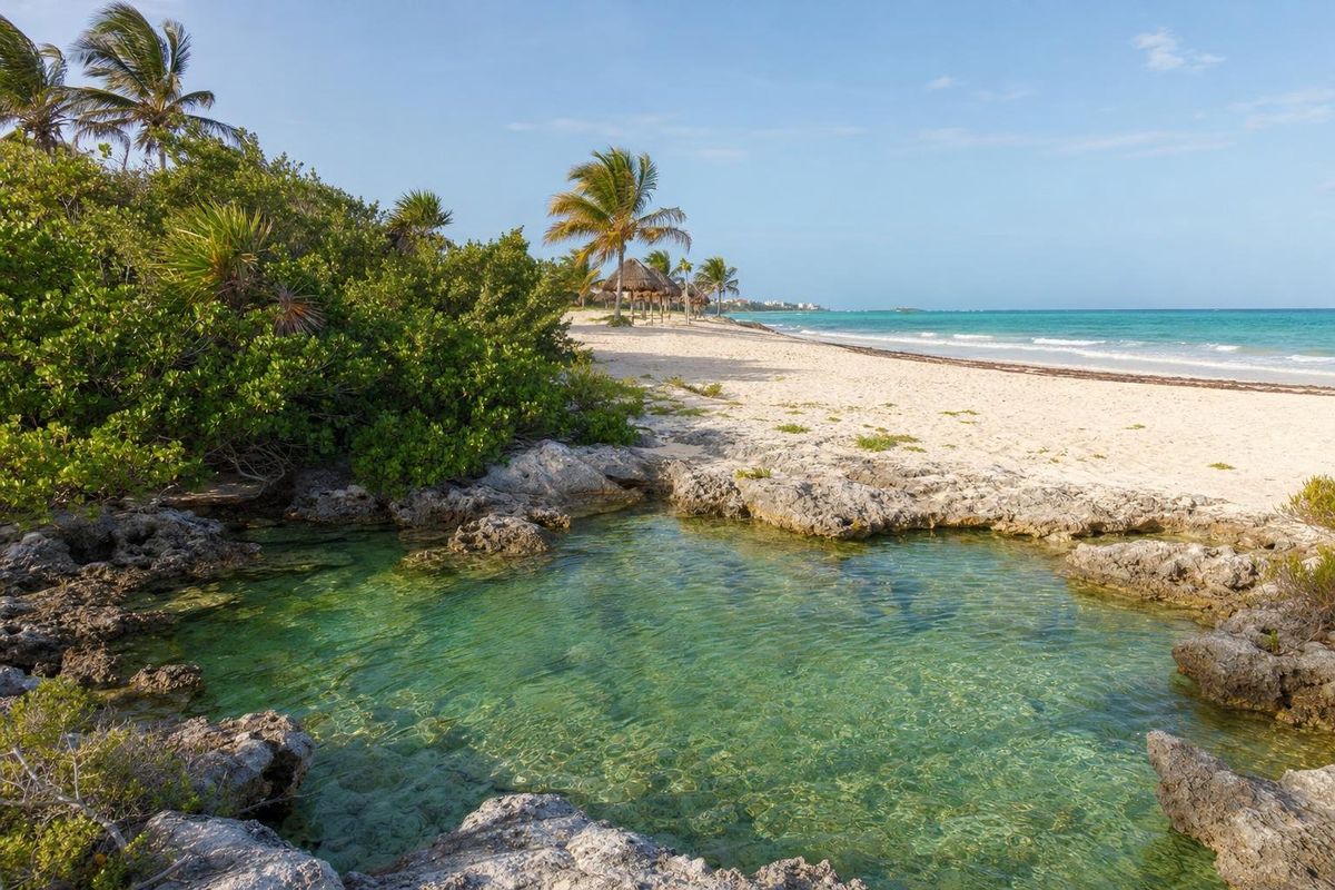
AI-generated image Beaches · Quintana Roo
Punta Esmeralda
AI-generated image Museums · Quintana Roo
Frida Kahlo Museum
AI-generated image Maya Ruins · Quintana Roo
Xaman Há