
−5 m · Shallows · Beaches · Quintana Roo
Bahía Petempich, a Calm Reef-Protected Beach North of Puerto Morelos
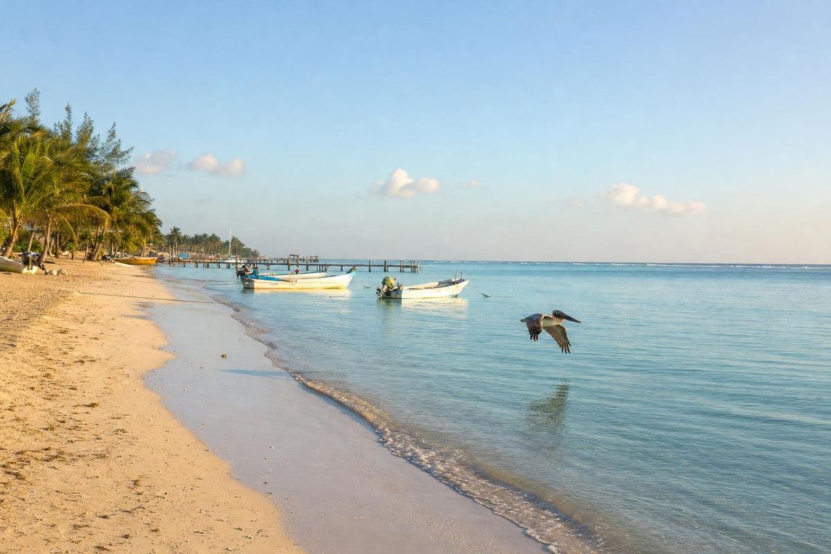
Bahía Petempich is a long, quiet beach about ten kilometers north of Puerto Morelos and roughly thirty kilometers north of Playa del Carmen. The bay lies inside the Puerto Morelos Reef National Park, so the sea is calm, the reef is protected, and mangrove lagoons fill the land behind the hotels.
Where the Riviera Maya begins
Petempich is often described as the northern start of the Riviera Maya, the stretch of coast that runs south from here toward Tulum. It was once a fishing settlement, and older maps and some locals still use the Maya name Punta Tanchacté, which no longer appears on road signs and whose meaning seems to be lost.
Today the shore is lined with resorts and private villas, but the beach has kept a calm, uncrowded feel. Nothing towers over the sand, there are few vendors, and the water inside the reef is often flat enough to see the bottom clearly from a pier.
Bahía Petempich is a long beach rather than a sharply curved bay. A walk of a couple of kilometers along the waterline passes hotel piers, moored fishing boats and stretches where the only company is a few pelicans.
A reef under federal protection
The Mesoamerican Reef runs some 1,000 kilometers from the tip of the Yucatán peninsula to Honduras, the largest barrier reef system in the Western Hemisphere. Off Puerto Morelos, a section of it was declared a national park in 1998 after local fishermen and residents pushed for protection. Bahía Petempich falls within the park.
That status shows. With fewer boats than Cancún or Playa del Carmen and strict rules on anchoring, fishing and touching coral, the reef here tends to be in better shape than at busier stretches. Snorkelling trips go out to the reef from Puerto Morelos and from some of the beaches along the bay; going with a licensed guide is the norm, and the park charges its own fee, usually collected by operators. The reef is managed by CONANP, Mexico's protected areas commission.
From the beach, the shallows are mostly sand and sea grass. In most places you can wade out to about waist depth before the bottom turns rocky, which makes the bay well suited to children who want to splash in calm water.
Mangroves, crocodiles and birds
Between the highway and the beach, the road crosses a band of mangrove forest and lagoon. These wetlands filter water flowing to the sea, shelter young fish and stabilize the coast during storms. They also hold crocodiles, which is reason enough not to swim in the lagoon.
Birding is good along the road and the shore. Brown pelicans fish just off the beach, frigatebirds hang overhead, and herons and egrets work the mangrove edges. Early morning is the best time.
Turtles on the southern beach
Bahía Petempich is a sea turtle nesting beach. The season begins around May, when female green, loggerhead and hawksbill turtles come ashore at night to dig nests, with the rare leatherback also recorded on this coast. Incubation takes roughly forty-five to sixty days, and hatchlings scramble to the sea through the summer and early autumn.
Nests on the southern part of the beach are marked and protected. Nesting and hatching happen almost entirely at night, so daytime visitors will usually see only the enclosures. Some hotels organize supervised night watches with conservation groups during the season.
Puerto Morelos, the town next door
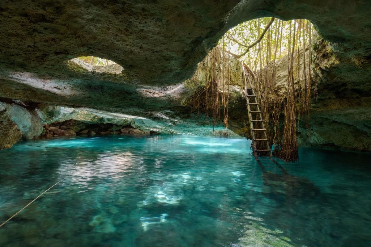
Most visitors to Petempich also spend time in Puerto Morelos, ten minutes south. It is one of the oldest settlements on this coast, a fishing village and port that has kept a small-town feel despite the growth around it. Its best-known landmark is a lighthouse that leans at a steep angle, left standing after a hurricane in the 1960s. The town square is lined with modest restaurants, and boats leave from the beach for the reef. On the inland side of the highway, a road known as the Ruta de los Cenotes leads into the forest toward a series of cenotes.
Getting to Bahía Petempich
The turn-off is on Highway 307 at about kilometer 27.5 south of Cancún, roughly ten kilometers north of Puerto Morelos, signed for the cluster of hotels on the bay. A gate with a guard marks the entrance road. There is no public transport to the beach itself.
After a few minutes the road forks. Straight on leads to the northern end of the bay, with villas, hotels and a public stretch of beach without services. The right-hand branch crosses the mangroves to the southern end, where there are a couple of small beach clubs alongside the hotels. The clubs generally let you use loungers and bathrooms if you eat or drink there. Ask about current arrangements on arrival.
All Mexican beaches are federal property and open to the public. Hotel piers and loungers are not.
Seasons and conditions
The dry season, December to April, is the most comfortable time. Summer is hot and humid but brings turtle season. Sargassum affects this coast too, typically between about April and October, and the northern public stretch is not always raked. Hurricane season runs from June to November.
Practical notes
- Bring water shoes for the rocky bottom beyond the shallows.
- Use reef-safe sunscreen; the park asks visitors to avoid chemical sunscreens in the water.
- Do not stand on, touch or collect coral, shells or sand.
- Pack insect repellent if you plan to linger near the mangroves at dusk.
Petempich makes a relaxed half-day from Cancún or Puerto Morelos. Further south, the cool, fine sand of Maroma Beach is about twenty-five minutes away. North toward Cancún, Punta Nizuc marks the southern tip of the Hotel Zone, and the small Maya site of El Meco lies on the road to Isla Blanca. For more, see the beaches section.
On a still day, the fishing boats moored off the beach sit on their own reflections.
Bahía Petempich FAQ
Where is Bahía Petempich?
About ten kilometers north of Puerto Morelos in Quintana Roo, off Highway 307 at around kilometer 27.5 south of Cancún.
Is Bahía Petempich a public beach?
Yes. The beach is federal property and the northern end has a public stretch, though it has no services. Hotel facilities and piers are private.
Is the water calm at Petempich?
Usually. The reef offshore breaks the waves, so the bay is shallow and calm, good for children and easy swimming.
Can you snorkel at Bahía Petempich?
Yes. The bay is part of the Puerto Morelos Reef National Park, and guided snorkelling trips go out to the reef. Close to shore the bottom is mainly sand and sea grass.
When do turtles nest at Petempich?
From around May into the summer, mostly at night. Hatchlings emerge roughly forty-five to sixty days after the eggs are laid.
Nearby on the map
AI-generated image Beaches · Quintana Roo
Punta Nizuc
AI-generated image Maya Ruins · Quintana Roo
El Rey
AI-generated image Cenotes · Quintana Roo
Las Mojarras
AI-generated image Cenotes · Quintana Roo
7 Bocas