
−20 m · Stone · Maya Ruins · Quintana Roo
El Meco: The Maya Archaeological Site on Cancun's Northern Shore
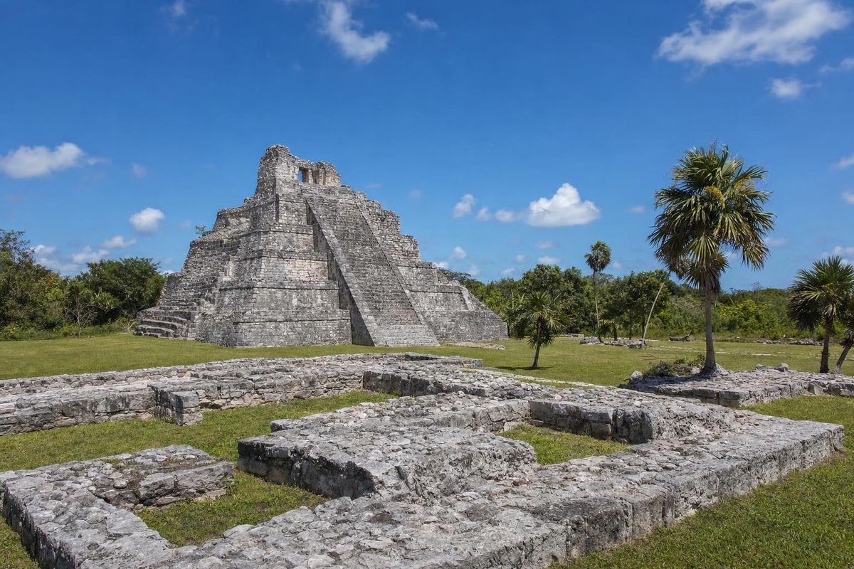
El Meco is a small Maya archaeological site on the mainland just north of downtown Cancun, beside the road that runs out to Punta Sam and Isla Blanca. People lived here from the Classic period, but most of the restored buildings, including the pyramid called El Castillo, belong to the Postclassic, when this shore was part of a busy coastal trade route. It is usually much quieter than the ruins in the hotel zone.
A coastal town on the strait
The site faces the narrow stretch of water between the mainland and Isla Mujeres, with the Chacmuchuch lagoon system behind it. For a people who moved goods by canoe, that was a strong position. Boats rounding the northeastern tip of the peninsula, between the Gulf of Mexico and the Caribbean, passed close by, and the island opposite offered shelter and a landing place for those heading to the shrines further south.
Pottery from the site points to a long occupation, beginning in the Classic period and continuing, with ups and downs, into the centuries before the Spanish arrived. The building boom came late, in the Early and Late Postclassic, which is when most of the structures now visible were raised or enlarged. At contact, this coast lay in the Maya province the Spanish recorded as Ecab.
Archaeologists usually describe El Meco as a local centre with ceremonial buildings, elite residences and a role in the movement of goods along the coast. Some have also linked it to the pilgrim traffic toward Cozumel, the island of the goddess Ixchel, though that connection is an interpretation rather than something an inscription confirms.
The name
As with El Rey in the hotel zone, the name is modern. The original Maya name of the town is not known. El Meco is generally said to come from a twentieth-century nickname connected with the land on which the ruins stood, rather than from anything the Maya called it. Accounts of whose nickname it was differ, so it is best taken as a local label that stuck.
What to see at the El Meco archaeological site
The site is compact and flat apart from its main pyramid, and a loop path takes in everything in well under an hour. INAH restored the core of the town, and the buildings sit on neat lawns with palms and scattered trees, which gives El Meco a more open feel than most coastal ruins.
El Castillo
The main building is El Castillo, a stepped pyramid that is the tallest ancient structure in the Cancun area. It rises in several tiers to a temple platform, and from its base the shape of the earlier and later building phases can be traced in the masonry. Like most pyramids in the region, it grew by being encased in new layers rather than being built in one go. Climbing it is not allowed, but its size is obvious from the plaza in front.
Plazas, platforms and shrines
Around El Castillo are plazas edged by platforms, the remains of buildings with columns, and small shrines in the East Coast style familiar from Tulum and El Rey. Several structures still show their stairways and the stumps of columns that once held up thatched roofs. A few walls preserve patches of lime plaster, a reminder that the buildings were once smooth and painted.
Wildlife
Iguanas bask on the stones here as well, mostly black spiny-tailed iguanas, and the trees around the lawns attract birds such as great-tailed grackles and, in the right season, migrant warblers. The lagoon side draws herons and other wading birds. The quiet makes it easier to watch them than at busier sites.
Getting to El Meco
From downtown Cancun, head north past Puerto Juárez along the coastal road toward Punta Sam and Isla Blanca. The site is on that road a short way beyond the Puerto Juárez ferry terminal, a few kilometres from the centre, and is marked with an INAH sign. Taxis from downtown are the simplest option; local buses and colectivos run along this road too, but routes change and are worth checking locally.
Coming from the hotel zone takes longer, since the route goes back through downtown first. Many visitors pair El Meco with the car ferry pier at Punta Sam, the boat departures for Isla Contoy, or an afternoon on the long beach at Isla Blanca further north.
The country around the site
North of El Meco the land becomes a long, low spit between the sea and the Chacmuchuch lagoon, running up toward Isla Blanca. Much of it is still mangrove, salt flat and coastal scrub, with far less building than the hotel zone. The lagoons are shallow and brackish, and they draw wading birds such as herons, egrets and, at times, roseate spoonbills. For the people of El Meco, this mix of lagoon, mangrove and sea meant fish, shellfish and salt within walking distance, and a sheltered route for canoes that did not depend on the open water.
Standing on the coast road today, the island of Isla Mujeres is in plain view across the strait, and on a clear day the low shape of the land to the north continues toward the tip of the peninsula.
When to go and practical notes
Morning is best: there is shade under some of the trees, but the plazas are open to the sun, and the iguanas are most visible while they warm up. The dry months, roughly November to April, are the most comfortable. From June to November the hurricane season brings heavy rain at times and, very occasionally, site closures.
- Opening days, hours and the entrance fee are set by INAH and change; check them locally or on the INAH website.
- Bring water, sun protection and insect repellent, especially in the rainy season.
- Stay on the paths and off the structures, and do not feed the iguanas.
- Facilities are basic. There is nowhere to buy food inside the site.
El Meco is a good counterpart to El Rey: the two together show the range of Cancun's Postclassic towns, one stretched along a sand bar between lagoon and sea, the other gathered around a single pyramid looking across the strait. More sites from across the peninsula are in the Maya ruins section.
El Meco: common questions
Where is El Meco?
On the mainland just north of downtown Cancun, on the road from Puerto Juárez toward Punta Sam and Isla Blanca, facing the strait toward Isla Mujeres.
How old is the El Meco archaeological site?
People lived here from the Classic period, but most visible buildings date from the Postclassic, the centuries before the Spanish arrived in the early 1500s.
Can you climb El Castillo?
No. Climbing is not permitted at El Meco, as at most INAH archaeological zones.
How long does a visit take?
Most people need between 45 minutes and an hour to walk the whole site.
Is El Meco worth visiting if you have already seen El Rey?
Yes. It is quieter, it has the tallest pyramid in the Cancun area, and it sits on a different stretch of coast, so the two sites complement each other.
Nearby on the map
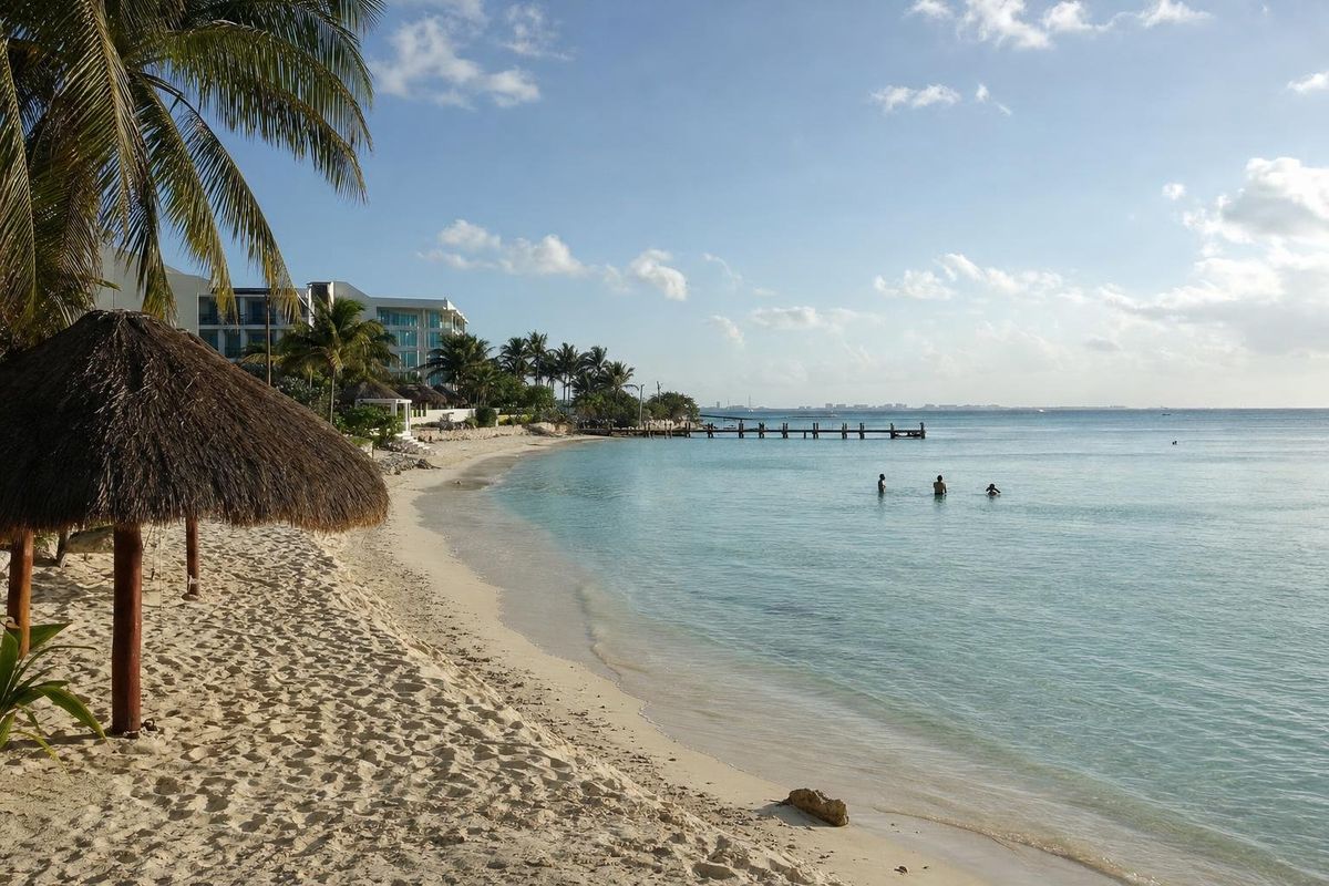
AI-generated image Beaches · Quintana Roo
Las Perlas
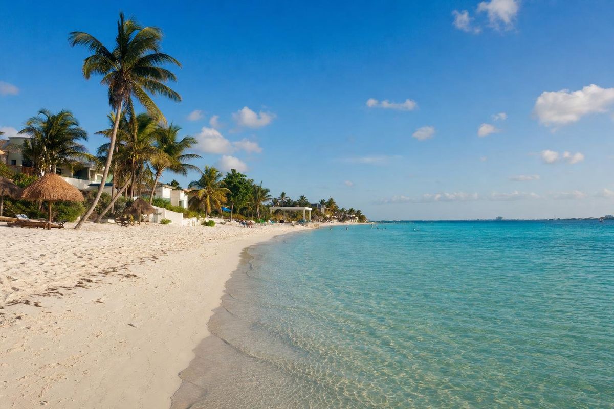
AI-generated image Islands · Quintana Roo
Isla Mujeres
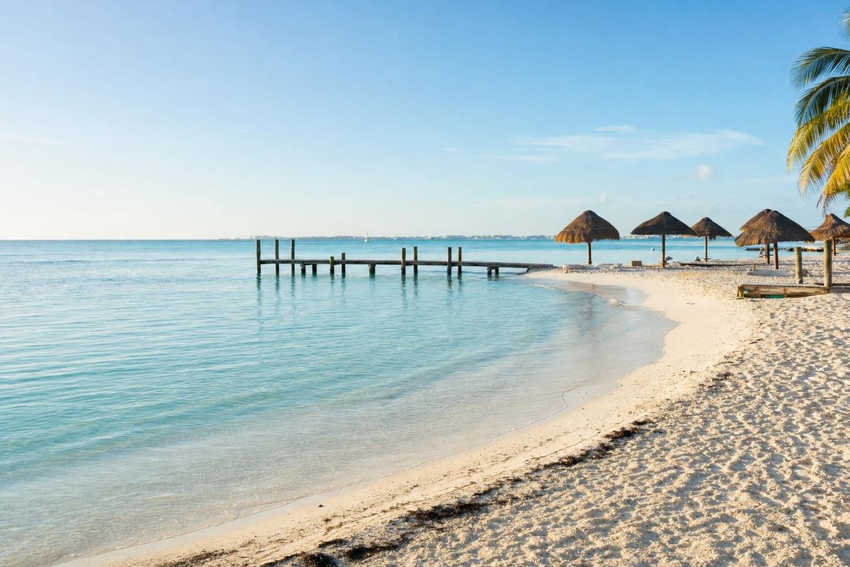
AI-generated image Beaches · Quintana Roo
Playa Langosta
AI-generated image Beaches · Quintana Roo
Playa Tortugas