
−5 m · Shallows · Islands · Quintana Roo
Isla Mujeres: a Guide to the Island, from Playa Norte to Punta Sur
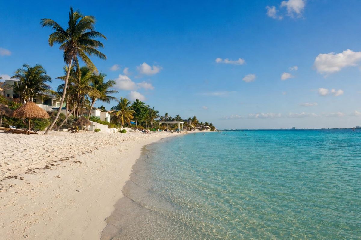
Isla Mujeres is a narrow island about 13 kilometres off Cancun, across the Bahía de Mujeres, reached by a short ferry ride from the city. It is roughly seven kilometres long and less than a kilometre wide, with a small town and the calm, shallow Playa Norte at its northern tip and low cliffs, a lighthouse and the remains of a Maya shrine at Punta Sur in the south. It is the easiest island escape from Cancun, and slower in pace than the city it faces.
Where Isla Mujeres is and how it is laid out
The island lies northeast of downtown Cancun, parallel to the mainland coast and close to the hotel zone. It belongs to the state of Quintana Roo and gives its name to a municipality that also includes Isla Contoy and a stretch of mainland north of Cancun.
The town occupies the northern end, a grid of narrow streets with a pedestrian main street, a plaza and a church. South of the town the island narrows around a pair of shallow salt lagoons, then runs on past a sheltered lagoon on the western side, quieter neighbourhoods and the island's beaches and reefs, until it ends at the cliffs of Punta Sur. The eastern side faces the open Caribbean and is rocky and often rough; the western side faces the bay and is sheltered.
How the island got its name
Isla Mujeres means "island of women". The Spanish expedition of Francisco Hernández de Córdoba reached this coast in 1517, and the name is usually traced to the female figures its men found in a Maya shrine on the island. They are generally linked to the goddess Ixchel, who was associated with the moon, childbirth, weaving and medicine and was venerated at shrines along this coast, most famously on Cozumel. English speakers sometimes call it the Isle of Women.
Punta Sur: cliffs, a shrine and the sunrise
The southern tip of the island is its most dramatic corner. Low limestone cliffs drop to a sea that is often rough and deep blue, and a lighthouse stands nearby. Punta Sur is often described as the easternmost point of Mexico, the first place in the country to see the sunrise, and early morning is the best time to be there.
At the edge of the cliff stand the remains of a small Postclassic Maya shrine, usually associated with Ixchel and sometimes said to have doubled as a lookout or a light for canoes. It was badly damaged by Hurricane Gilbert in 1988 and survives only as low walls, but its position, alone at the end of the land, explains why it was built there. A sculpture garden and a cliff-top path lead to it. The shrine belongs to the same late tradition as the coastal towns of Cancun, such as El Rey and El Meco, on the mainland opposite. Access to the Punta Sur area is managed locally and a fee is usually charged; arrangements change, so check on arrival.
Playa Norte and the island's beaches
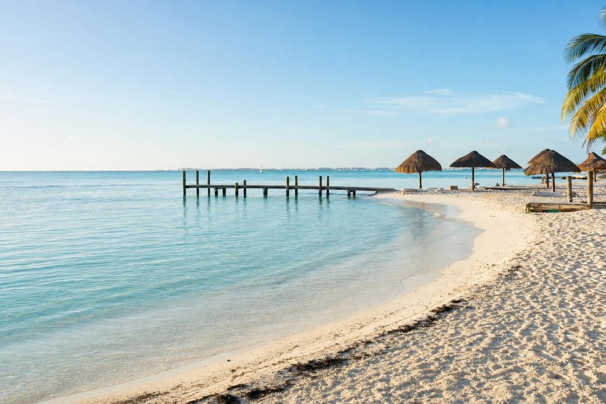
Playa Norte, at the northern tip beside the town, is the island's best-known beach and one of the calmest in the region. The sand is very fine and white, and the water stays shallow and clear far from shore, so it is easy for children and for anyone who prefers wading to swimming. The beach faces northwest, which makes it a natural place to watch the sun go down. It gets busy, especially around midday when day-trippers arrive from Cancun.
Smaller beaches line the sheltered western side further south. The eastern coast is beautiful for walking and photographs, but the open sea there is usually too rough for safe swimming; the red flag is often up.
Snorkeling, whale sharks and the reef
The reefs off the southwestern side of the island lie within the same marine national park that protects the reef at Punta Nizuc off Cancun, and some of the Underwater Museum of Art's sculptures lie in the waters near the island. Guided snorkeling trips go out from the island's marinas, and some beach areas allow snorkeling close to shore.
From roughly June to September, whale sharks gather in the open sea north and east of the island to feed on plankton and fish eggs, and licensed boats run trips to swim with them. These trips are regulated by Mexico's protected areas authority: there are limits on group size, distance and the number of boats, and operators should hold a permit.
Getting there and getting around
Passenger ferries cross from Puerto Juárez, just north of downtown Cancun, most often, and the crossing takes about 15 to 20 minutes. Further departures leave from several piers in the hotel zone, including the one at Playa Tortugas, and a car ferry runs from Punta Sam further north. Schedules and fares vary by operator and season; check them on the day.
On the island, golf carts, scooters and bicycles are the usual way to get around, and taxis are easy to find. A loop of the whole island by cart takes a couple of hours with stops. The town itself is best on foot.
Other sights on the island
- Hacienda Mundaca, the overgrown remains of a nineteenth-century estate built by Fermín Mundaca, a trader often described as a pirate and slave trader, who settled on the island. Local legend tells of his unrequited love for a young island woman.
- A turtle conservation centre on the western lagoon side, where eggs are protected and hatchlings released.
- The salt lagoons south of town, used for salt production in the past, which draw wading birds.
When to go
The dry season, roughly November to April, has the most settled weather, though winter cold fronts can make the ferry crossing choppy for a day or two. Summer is hotter and more humid but brings the whale shark season. The hurricane season runs from June to November. Sargassum seaweed can reach the eastern shore and some beaches in heavy years, usually from spring to late summer; the sheltered western beaches and Playa Norte tend to be less affected.
For more islands of the Yucatán coast, see the islands section.
Isla Mujeres: quick answers
Where is Isla Mujeres?
Off the northeastern coast of the Yucatán peninsula, about 13 kilometres across the bay from Cancun, in the state of Quintana Roo.
How do you get to Isla Mujeres from Cancun?
By ferry. Passenger boats leave from Puerto Juárez and several hotel zone piers, and a car ferry runs from Punta Sam. Check schedules locally.
What is at Punta Sur on Isla Mujeres?
Low cliffs, a lighthouse, a sculpture garden and the remains of a small Maya shrine usually associated with the goddess Ixchel.
Why is it called Isla Mujeres?
The name is usually traced to female figures that Spanish sailors found in a Maya shrine on the island in 1517, generally linked to the goddess Ixchel.
Which is the best beach on Isla Mujeres?
Playa Norte, at the northern tip, is the best-known: fine white sand, shallow calm water and sunsets over the bay.
Can Isla Mujeres be visited as a day trip?
Yes, the short ferry crossing makes a day trip easy, though an overnight stay shows the island at its quietest.
Nearby on the map
AI-generated image Maya Ruins · Quintana Roo
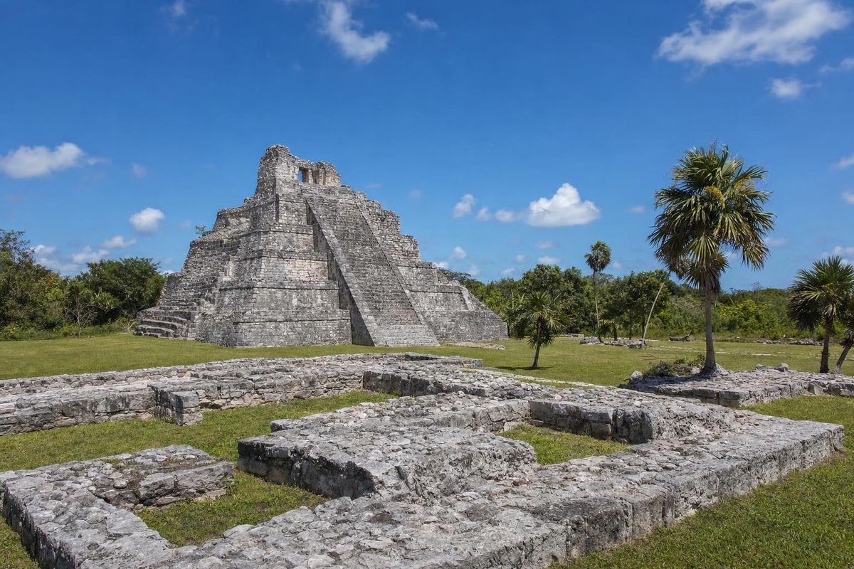
El Meco
AI-generated image Beaches · Quintana Roo
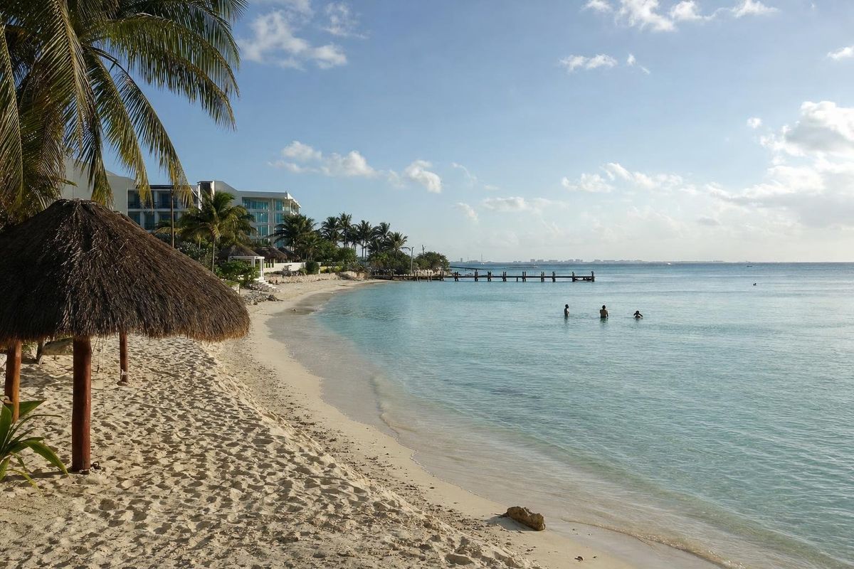
Las Perlas
AI-generated image Beaches · Quintana Roo
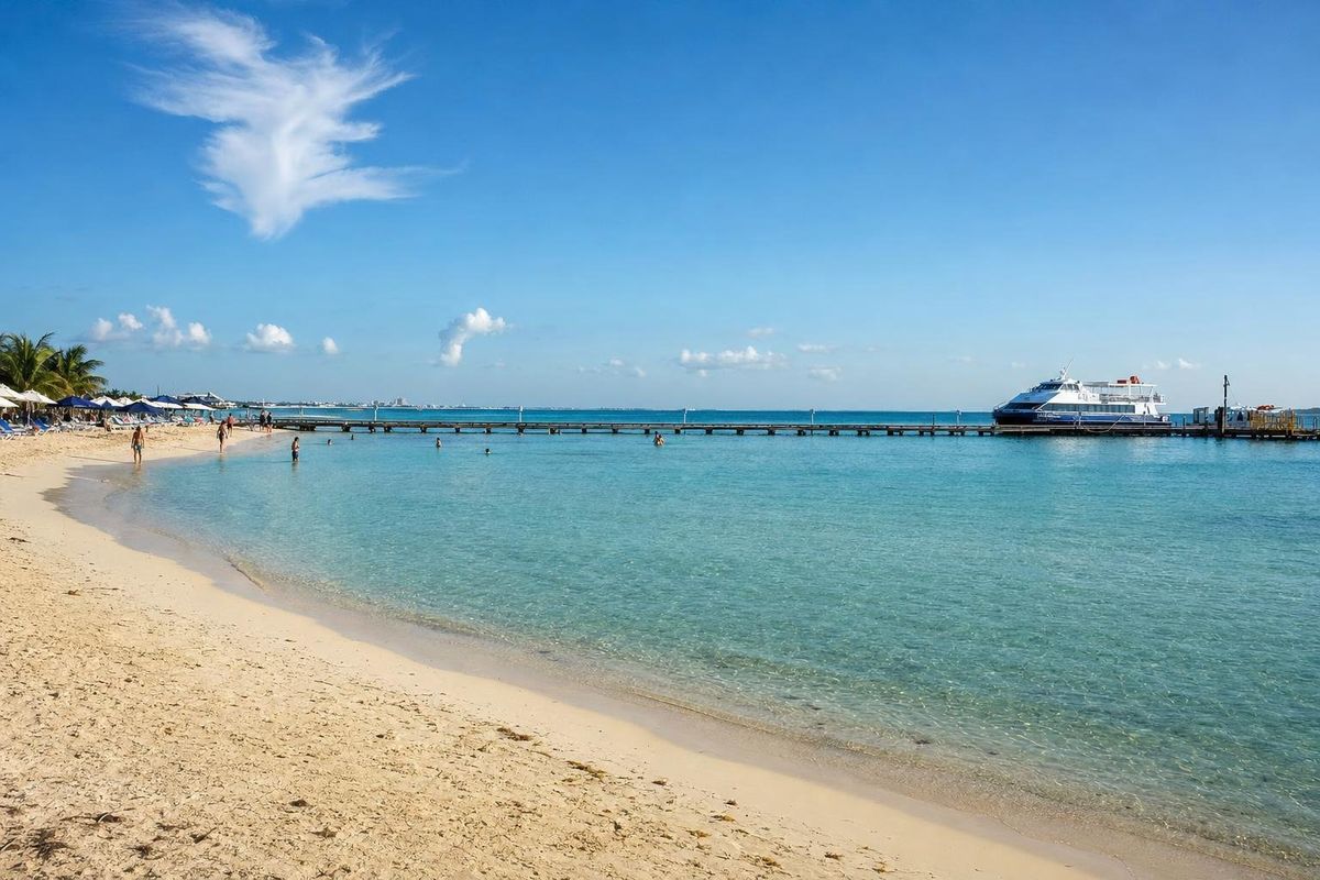
Playa Tortugas
AI-generated image Beaches · Quintana Roo
Playa Langosta