
−20 m · Stone · Maya Ruins · Quintana Roo
Muyil Ruins: The Maya Lagoon Town at the Gateway to Sian Ka'an
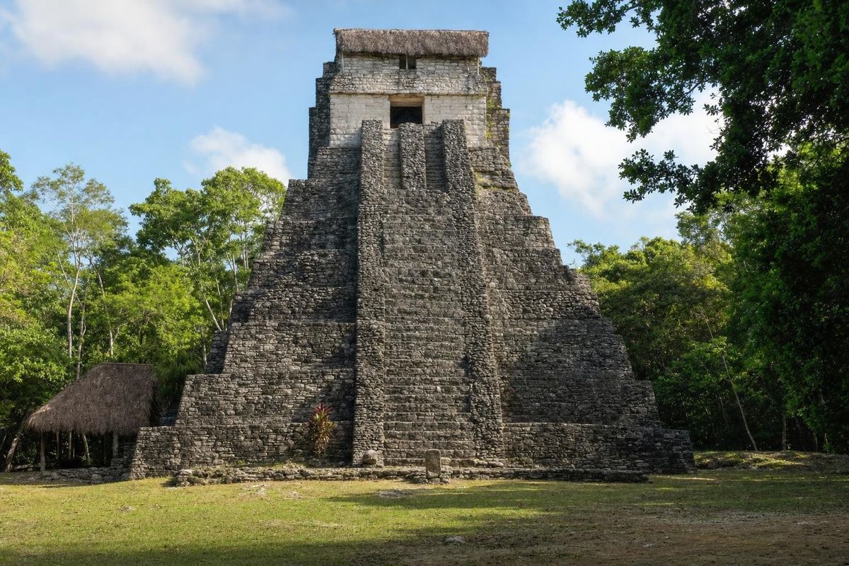
The Muyil ruins lie about 25 km south of Tulum, on Highway 307, at the northern edge of the Sian Ka'an Biosphere Reserve. Muyil was a Maya town on the shore of the Chunyaxché lagoon, inhabited for well over a thousand years and linked to the Caribbean by channels through the mangroves. Its tall Castillo, quiet forest paths and the chance to float down an ancient canal make it a very different visit from crowded Tulum.
A town between the forest and the lagoons
Muyil, also known as Chunyaxché after the lagoon and the modern village beside it, was one of the longest-lived settlements on the east coast of the Yucatán peninsula. Archaeologists have found evidence of occupation from around 300 BC until the arrival of the Spanish in the sixteenth century. For much of that time it was a modest place, but its position made it useful.
A chain of lagoons and channels connects Muyil to the sea at Boca Paila. Canoes could travel from the coast through the mangroves to the town and onward by land into the interior, and traders carried salt, shells, fish and honey inland and brought back obsidian, jade and other goods. Many researchers think Muyil had close ties with Cobá to the north in the Classic period, and later with the coastal towns of the Postclassic trading network, including Tulum and Xaman Há, the port beneath today's Playa del Carmen.
Most of the standing buildings date to the Postclassic period, roughly 1200 to 1500, when the east coast was busy with sea trade. They share the coastal style seen at Tulum: small temples, narrow doorways, and walls once coated in plaster and paint.
What to see at the Muyil ruins
The Castillo
The centerpiece is the Castillo, a steep, narrow pyramid around 17 m high, one of the tallest ancient structures on the Quintana Roo coast. Its upper temple has a small solid round structure on top, an unusual feature. Visitors cannot climb it, but it is impressive from the plaza and photographs well in morning light.
The plazas and sacbé
Around the Castillo stand smaller temples and platforms grouped around plazas, many still partly covered by forest. A sacbé, a raised white road, runs from the center of the site toward the lagoon, and the modern path follows it. Look for traces of red paint on some of the buildings, and for small shrines that resemble those at Tulum.
The boardwalk
Beyond the ruins, a wooden boardwalk leads through the forest and wetlands toward the lagoon. A watchtower along the way has offered views over the canopy to the water, though it has been closed for repairs at times. The boardwalk passes into the Sian Ka'an reserve, and a separate reserve fee is usually charged.
The canals of Sian Ka'an
From the lagoon, boats run by local cooperatives cross Chunyaxché and Muyil lagoons to channels cut through the mangroves. Most researchers believe that at least some of these channels were dug or widened by the ancient Maya to link the lagoons for canoe traffic. Small Maya structures stand along their banks, thought to have served as shrines or customs posts.
The highlight is the float. Visitors put on a life jacket, step into the clear channel and let the current carry them slowly through the mangroves, feet first. The water is fresh, cool and shallow in places, and fish dart among the roots. It is one of the most peaceful things to do on this coast.
The reserve is home to a long list of birds, including herons, egrets, ospreys and, in the lagoons, wood storks and roseate spoonbills. Crocodiles live in Sian Ka'an, so swim only where the guides indicate.
Sian Ka'an Biosphere Reserve
Sian Ka'an, "origin of the sky" in Maya, covers a vast stretch of forest, wetlands, lagoons, mangroves and coral reef south of Tulum. It became a biosphere reserve in 1986 and was listed by UNESCO as a World Heritage site in 1987. Muyil is the easiest point of entry for visitors without a boat or a four-wheel drive, since the rest of the reserve's coast is reached by a long unpaved road.
Further south, the reserve's coast runs down to the lobster-fishing village of Punta Allen, at the end of a slow sandy road. Nearby swimming spots along the Tulum coast include Cenote Caleta Tankah.
Getting to Muyil
Muyil is right on Highway 307 between Tulum and Felipe Carrillo Puerto, about 20 to 30 minutes south of Tulum by car. The entrance is on the east side of the road, beside the village of Chunyaxché. Colectivos running south from Tulum toward Felipe Carrillo Puerto can drop you at the entrance; ask the driver for Muyil.
Boat trips on the lagoons leave from a jetty near the end of the boardwalk or from the lagoon shore, and can be arranged on site with the local cooperative or booked in Tulum. Prices and departure times change, so confirm them before going.
Practical notes
- Arrive early: it is cooler, the birds are active and the site is quiet.
- Mosquitoes can be fierce, especially in the wet season and near the mangroves. Bring a biodegradable repellent and wear long sleeves.
- If you float in the canals, skip sunscreen beforehand or use a reef-safe one, and follow the reserve rules.
- Bring water and a hat. There is shade on the forest paths but not on the lagoon.
- Opening hours and fees for the archaeological zone and the reserve are separate and change. Check locally or with INAH.
For more sites along this coast, see the Maya ruins section and the forest reserve at Punta Laguna near Cobá. In the canal, look down where the water clears over white sand: small fish hold still against the current there, right under your feet.
Muyil questions
Where are the Muyil ruins?
About 25 km south of Tulum on Highway 307, at the northern edge of the Sian Ka'an Biosphere Reserve in Quintana Roo.
Can you climb the Castillo at Muyil?
No. The Castillo is closed to climbing, but it can be seen up close from the plaza.
What is the Muyil canal float?
A boat trip across the lagoons to a channel through the mangroves, where visitors drift with the current in life jackets. Many researchers believe the Maya used or dug these channels for canoe travel.
How much time do you need at Muyil?
About an hour for the archaeological site, and three to four hours if you add the boardwalk and a lagoon boat trip.
Is Muyil the same as Chunyaxché?
Yes. The archaeological site is called both Muyil and Chunyaxché, after the lagoon beside it and the modern village next to the entrance.
Nearby on the map
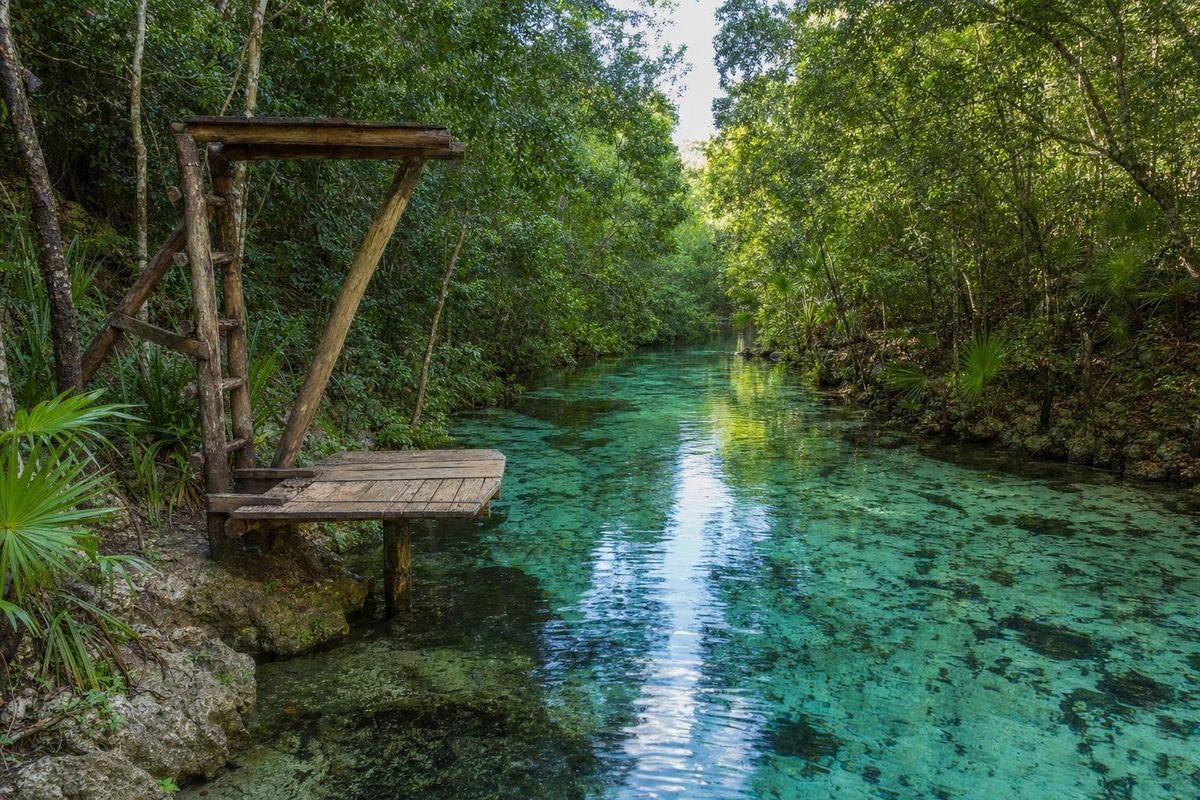
AI-generated image Cenotes · Quintana Roo
Escondido
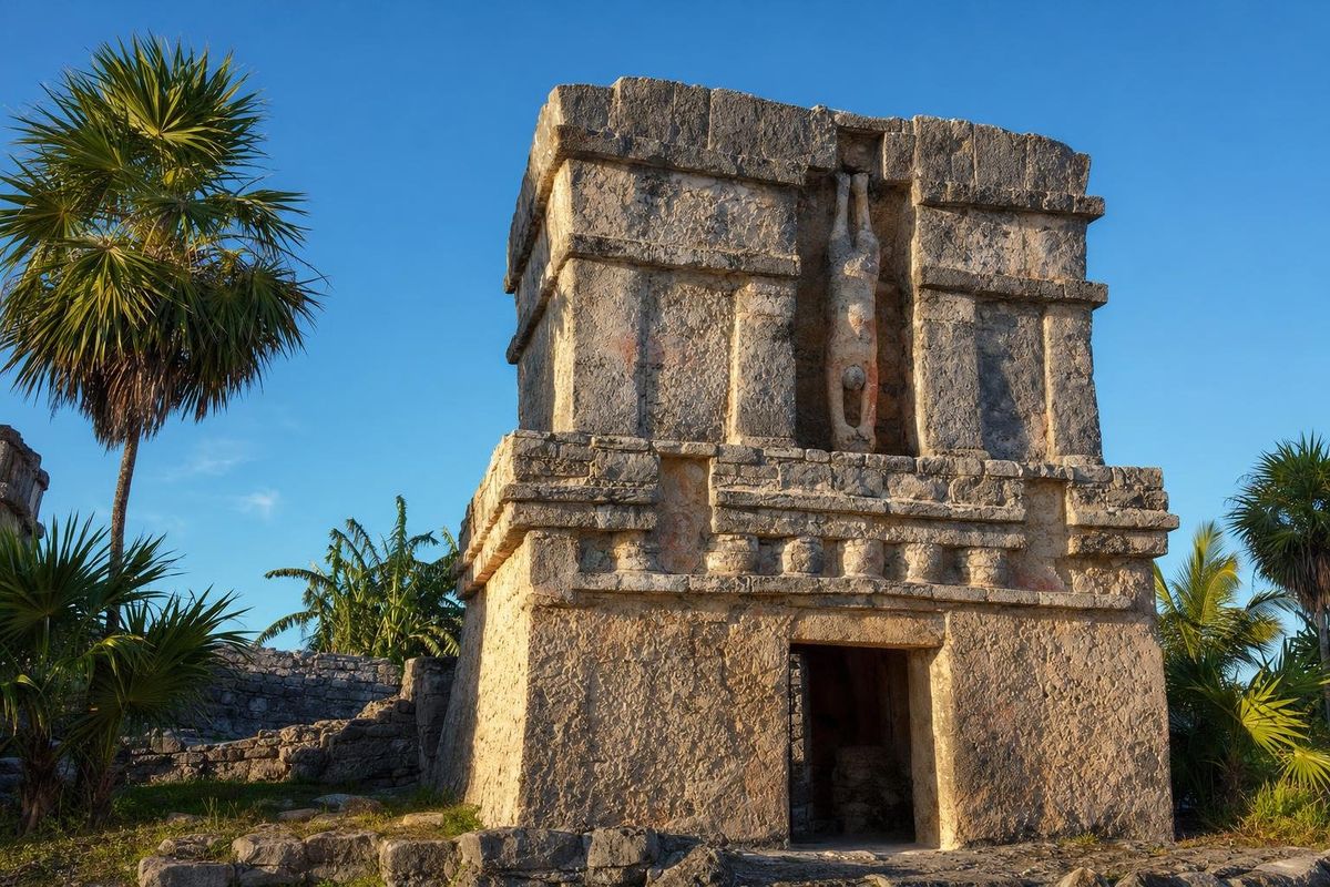
AI-generated image Maya Mysteries · Quintana Roo
Descending God
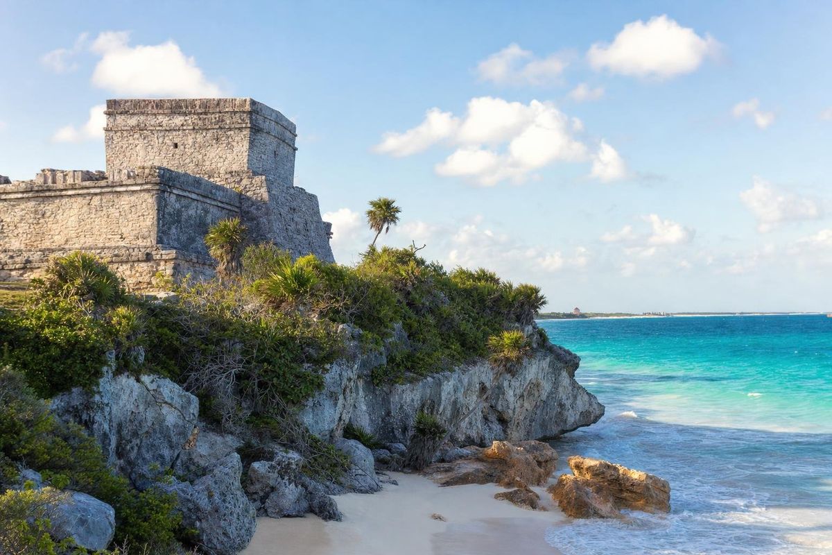
AI-generated image Maya Ruins · Quintana Roo
Tulum Ruins
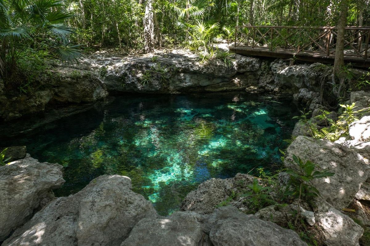
AI-generated image Cenotes · Quintana Roo
Caleta Tankah