
−5 m · Shallows · Beaches · Quintana Roo
Punta Venado, the Deer Point Coast South of Playa del Carmen
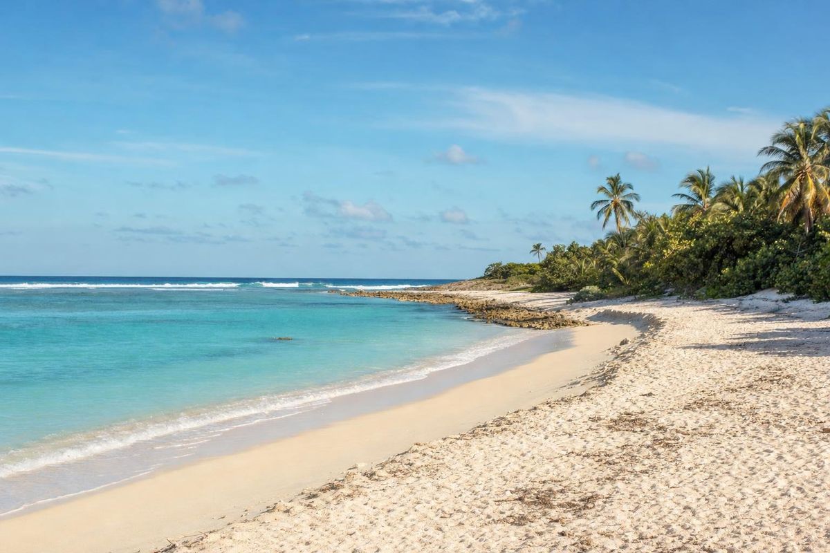
Punta Venado is a broad headland and ranch on the Riviera Maya, roughly ten kilometers south of Playa del Carmen, with a long beach backed by jungle that has seen far less building than the coast around it. The land is private and run as an adventure park, so getting onto the Punta Venado beach almost always means booking an activity there first.
Deer Point and why it still looks wild
The name translates simply as Deer Point. White-tailed deer once ranged freely through this part of the coast, and the scrub forest behind the beach still shelters coatis, agoutis, iguanas and a long list of birds. What makes Punta Venado unusual on this coast is scale. Instead of a narrow resort lot squeezed between highway and sea, the property runs a long way inland, and most of it remains low tropical forest crossed by dirt tracks.
The coastline itself is a few kilometers of pale sand broken by limestone outcrops. In places the bottom drops quickly from the shore, and rocks sit just under the surface, so it is not a beach for splashing about without looking. Offshore, the Mesoamerican Reef runs parallel to the coast and gives the snorkelling spots their color.
Beach naupaka, sea grape and young palms hold the dune together. Great-tailed grackles patrol the sand for scraps, loud and unbothered by people.
Access: a federal beach behind private land
Every beach in Mexico belongs to the federal maritime zone, roughly the first twenty meters inland from the high-tide line, and in principle anyone may use it. In practice the question is how to reach that strip. At Punta Venado the only road crosses the private ranch, and the owners control who drives it. For some years the land has operated as a commercial adventure park, and access has generally been tied to booking one of its activities or a private event.
That arrangement has shifted over time, and it may shift again. Before driving out, check locally (your hotel desk or the tourism office in Playa del Carmen can usually tell you) whether casual beach visits are possible or whether a booking is required. Do not count on turning up with a towel and being waved through.
What there is to do at Punta Venado
The activities on offer have changed over the years, but the landscape decides most of them. Expect some mix of the following:
- Horseback rides along jungle trails and down onto the beach, starting from the ranch buildings inland.
- Mountain biking on dirt trails through the forest. The bike park at Punta Venado has been one of very few on the Riviera Maya built for off-road riding.
- Snorkelling over the reef a short swim or boat ride from shore.
- Kayaking along the coast on calm mornings.
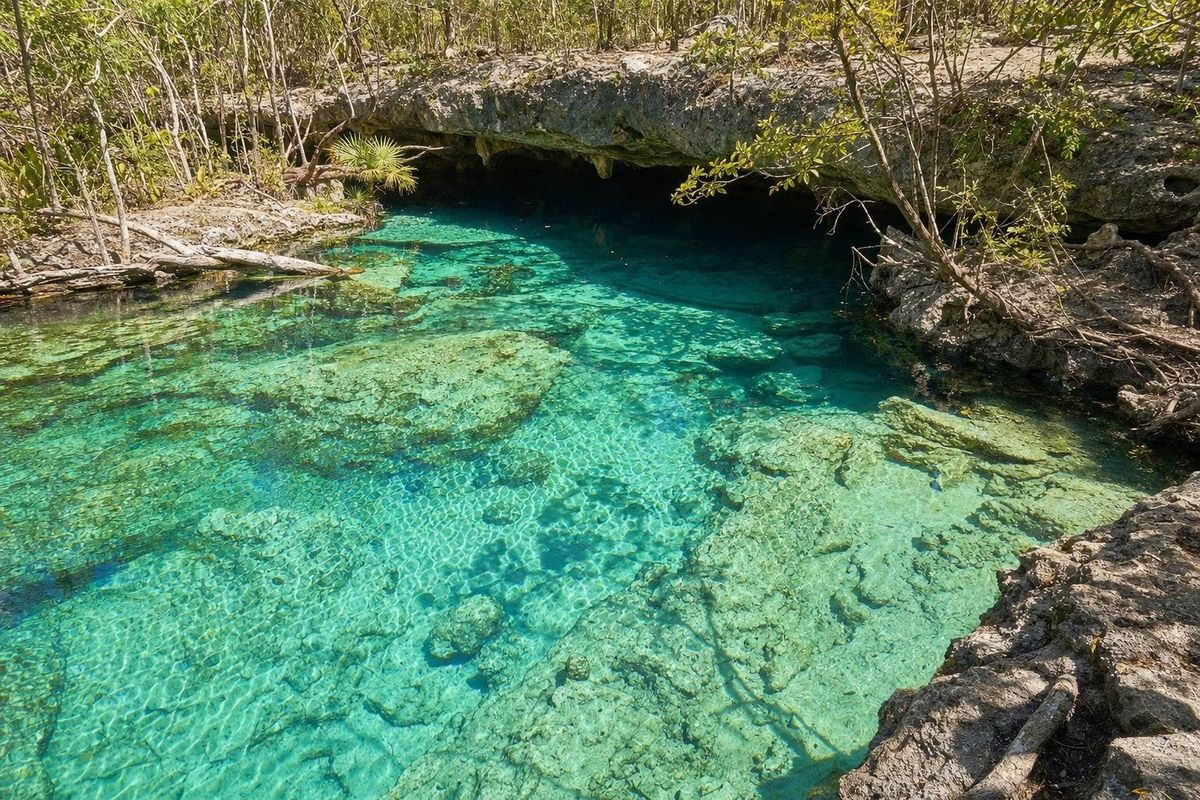
- Swimming in a cenote or walking through a dry cave system on the property.
- Motorized options such as ATVs and personal watercraft, which bring noise to an otherwise quiet coast.
Age and weight limits usually apply to riding and driving activities, and they differ from one activity to the next. Ask when booking.
The cenotes and caves are part of the same limestone system that runs under the entire peninsula. Rainwater filters down through the rock, dissolves channels, and in places the roof collapses to open a pool. The trip through the cenotes of Yucatán explains how these sinkholes form and why the Maya treated them as entrances to the underworld.
Getting there from Playa del Carmen
Punta Venado lies off Highway 307, the four-lane road that runs the length of the Riviera Maya. Heading south from Playa del Carmen, it comes up after the turn-offs for the cruise pier at Calica and the Xcaret area, and before Paamul. A sign over the gate marks the entrance. Because the highway is divided, drivers coming from the north usually have to continue to the next return point and come back.
From the gate, a winding dirt road runs through the forest for several kilometers before reaching the ranch buildings and the beach. Allow ten to fifteen minutes at low speed. A guard post sits along the track. A rental car is the practical choice; colectivo minibuses along the highway will stop at the entrance, but the walk in is long and shadeless in places.
If you are staying in Playa del Carmen, the drive takes roughly fifteen to twenty minutes from the center, depending on traffic at the southern edge of town.
Weather, seaweed and the best months
The dry season, roughly December to April, brings the clearest water and the most comfortable temperatures for riding and biking in the forest. From late spring the heat and humidity climb, and the jungle tracks turn muddy after afternoon storms. The Atlantic hurricane season officially runs from June to November, with the greatest risk usually from August to October.
Sargassum seaweed is the other variable. In heavy years it piles up on this coast from about April into the autumn, and an undeveloped beach like Punta Venado may not be raked as often as a resort strip. Arrivals are monitored along the state's coast, and a color-coded seaweed map for Quintana Roo is published regularly. It is worth a look before planning a beach day.
Practical notes before you go
Bring water shoes. The rocky patches in the shallows are sharp, and sea urchins live in the crevices. Biodegradable sunscreen, or better a rash vest, protects both you and the reef. Insect repellent is essential for the forest trails, especially around dusk and after rain.
Prices, schedules and activity menus change, sometimes from one season to the next, so check them directly before you commit. Weddings and private events are common at the beach, and on those days parts of the shore may be closed off.
Nearby, the quiet trailer community at Paamul offers a simpler beach day a few minutes further south, and the marina town of Puerto Aventuras is just beyond it. North of Punta Venado, the little temple platforms of ancient Xcaret recall when this coast was a Maya port. More of the coast's sandy stops are gathered in the beaches section.
One small detail for horse riders: the trail rides go single file through the trees, and the horses know the route far better than the guests do.
Punta Venado: common questions
Can you visit the beach at Punta Venado without booking a tour?
Usually not. The beach itself is federal land, but the only road crosses private property run as an adventure park, and access has generally depended on booking an activity or event. Rules change, so check locally before driving out.
How far is Punta Venado from Playa del Carmen?
About ten kilometers south along Highway 307, which is roughly fifteen to twenty minutes by car from the town center, plus a slow drive along the dirt access road.
Is there mountain biking at Punta Venado?
Yes, the property has had dirt trails laid out for mountain biking through the forest, one of the few bike parks of its kind on the Riviera Maya. Check what is currently open when booking.
Is the water good for swimming?
It is clear, but the bottom drops quickly in places and there are rocks close to shore. Water shoes help, and children should be watched closely.
What does Punta Venado mean?
It means Deer Point in Spanish, a reminder of the white-tailed deer that once roamed freely through this stretch of coastal forest.
Nearby on the map
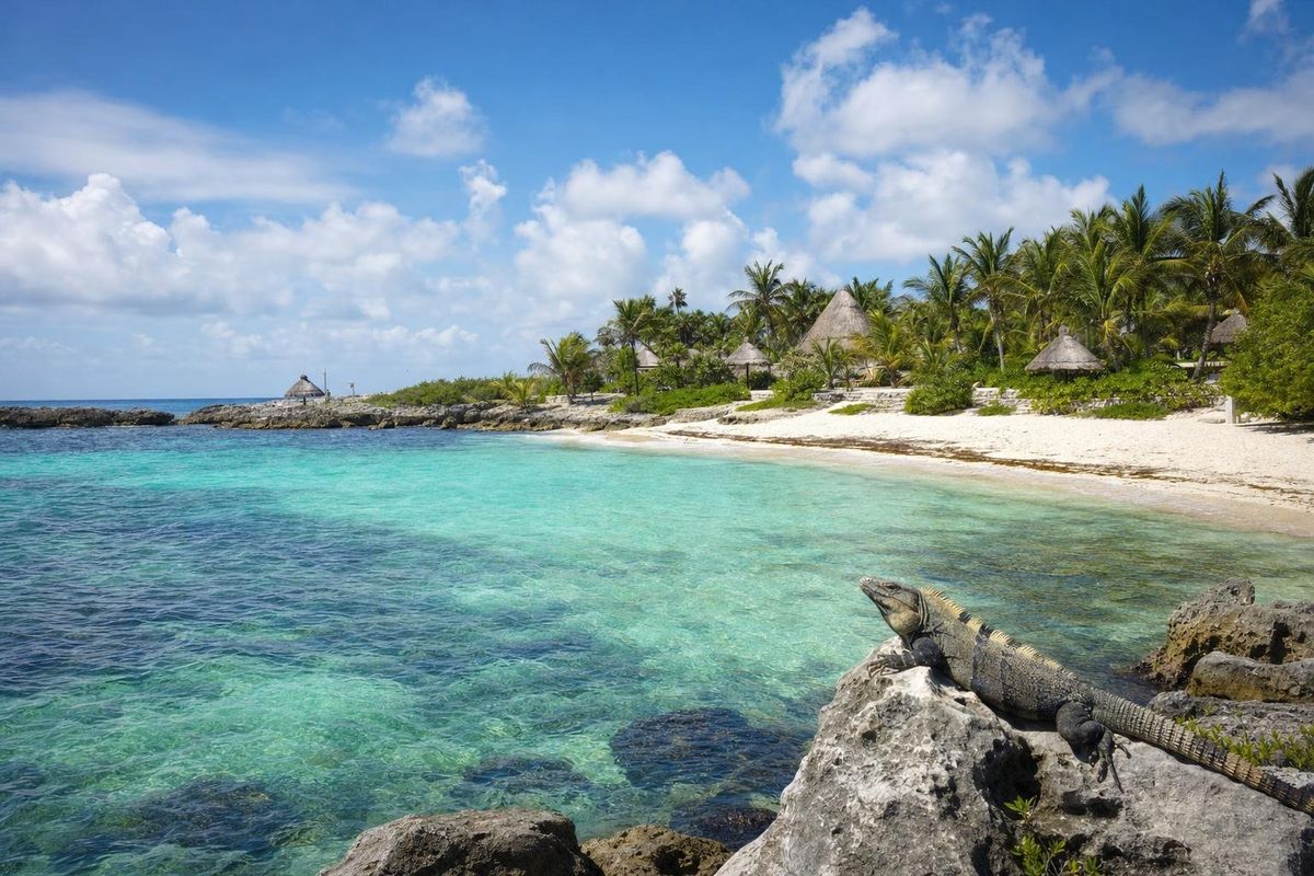
AI-generated image Beaches · Quintana Roo
Paamul
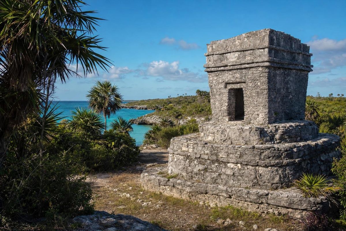
AI-generated image Maya Ruins · Quintana Roo
Xcaret (P'olé)
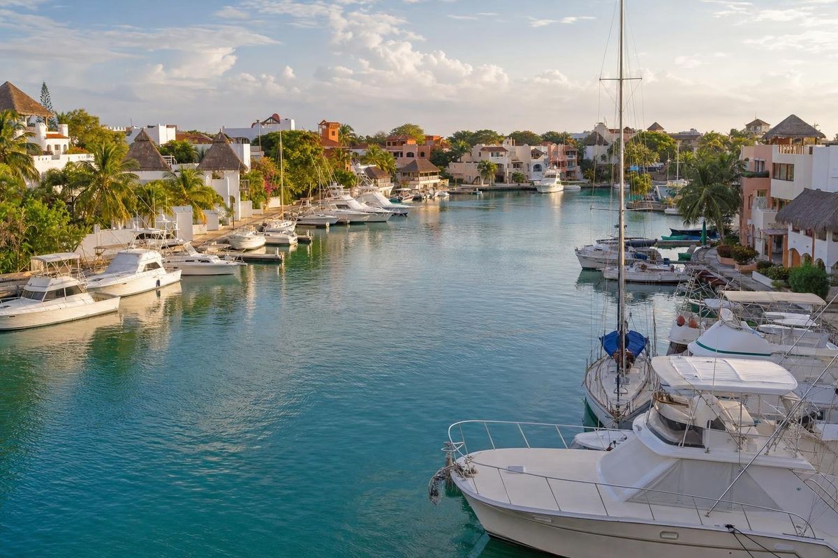
AI-generated image Towns & Villages · Quintana Roo
Puerto Aventuras
AI-generated image Cenotes · Quintana Roo
Cristalino