
−5 m · Shallows · Beaches · Yucatán
Cancunito, Yucatán: the Beach of Río Lagartos and the Pink Lakes
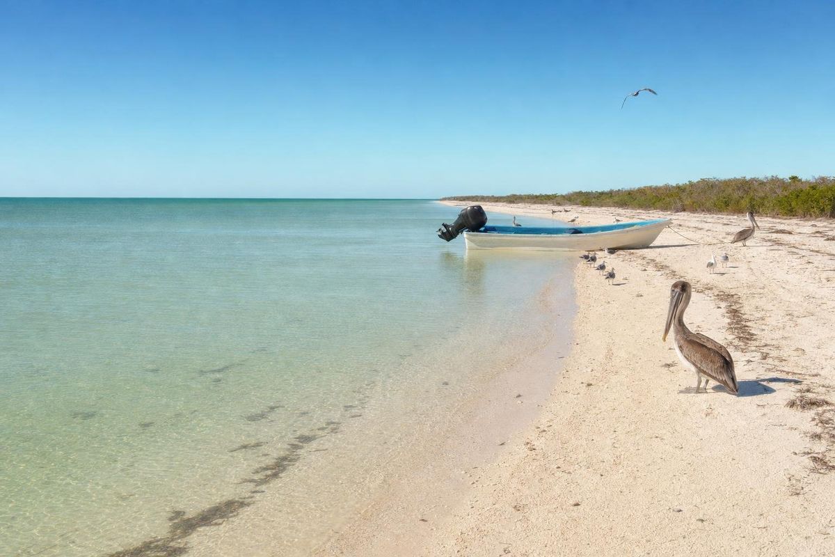
Cancunito is a stretch of white beach on the long barrier island in front of Río Lagartos, a fishing village on the north coast of Yucatán, and it is reached by boat rather than by road. Its name, "little Cancún", comes from the clear turquoise water that can look like the Caribbean on a calm day. Most visitors see it as a swimming stop on a lagoon tour that also takes in flamingos and the pink salt ponds of Las Coloradas.
Where Cancunito is
Along the north coast of the Yucatán peninsula, a narrow sand barrier separates the Gulf of Mexico from a long, shallow estuary called Ría Lagartos. The whole system, with its mangroves, salt flats and dunes, is protected as the Ría Lagartos Biosphere Reserve and is also listed as a wetland of international importance under the Ramsar Convention. The village of Río Lagartos sits on the inner shore of the estuary; directly opposite, across the water, lies the barrier island, and on its seaward side is Playa Cancunito.
There is no town or development on the beach itself. It is simply sand, low coastal scrub and dunes, with the open Gulf in front. Sea turtles nest on parts of this coast in the warmer months, and stretches of the barrier are closed or marked to protect them. On a still morning the water inside the sandbars turns turquoise and pale green and is clear to the bottom; on a windy afternoon it can be choppy and cloudy, which is the reality of the north coast.
Flamingos, mud and the boat ride
Boat trips from Río Lagartos usually combine several stops. The lagoon is the most important nesting area in Mexico for the American flamingo, and depending on the season the boats pass flocks feeding in the shallows; guides keep their distance, and the nesting colonies themselves are off-limits. Along the way there are herons, spoonbills, pelicans and, in the mangrove channels, the occasional crocodile.
Many tours also stop at a patch of fine grey clay on the estuary shore, where visitors coat themselves in mud before rinsing off; tours often call it a Maya bath. Cancunito is usually the swimming stop, a chance to cross the dunes to the open Gulf.
Boat trips are run by local guides and cooperatives in Río Lagartos; arrange them in the village. Prices and durations change, and it is worth agreeing on the route before setting off.
The pink lakes near Cancún
When travelers in Cancún ask about the pink lake, they nearly always mean the salt ponds at Las Coloradas, a small village east of Río Lagartos and close to Cancunito. These are working salt evaporation ponds, part of a coast where archaeologists trace salt production back to pre-Hispanic times and run today by a salt company. The water owes its pink and red color to salt-tolerant algae and tiny brine shrimp that thrive at very high salinity; the shade changes with the light, the season and the salt concentration, and is strongest under a high sun.
Swimming in the pink ponds is not allowed, and walking into them damages the salt beds; viewing is from the edges, and access is controlled, often with a local guide. For a pink lagoon with fewer people, the salt ponds at Xtampú, near Telchac, on the coast east of Progreso, are another option.
Despite the name, none of this is near Cancún. Río Lagartos and Las Coloradas are roughly three hours from Cancún by car, and about an hour and a half from Valladolid. A day trip from Cancún is possible but long, and staying a night in Río Lagartos or in El Cuyo, a beach village further east, lets you take a boat out early, when the birds are most active and the light is soft.
Getting there
By car from Cancún, the usual route heads west toward Valladolid and then north through the cattle town of Tizimín to Río Lagartos. From Mérida the drive takes about three hours or a little more. Second-class buses connect Río Lagartos with Tizimín and Valladolid, but services are limited and change often. Las Coloradas is a short drive east of Río Lagartos along the coast road.
Once in Río Lagartos, the boat landings are along the waterfront, and guides are easy to find. The village itself is worth an evening: a short malecón, fishing boats pulled up on the shore, and a lagoon that turns pink and orange at sunset. Small seafood restaurants serve the day's catch, and the pace is slow enough that the crossing to Cancunito the next morning feels like the main event of the day.
When to go
Flamingos are present in the estuary most of the year, but numbers and nesting activity vary by season, with nesting usually in the spring and early summer. Mornings bring the calmest water and the best light for both the birds and the beach.
The dry season, roughly November to April, is the most comfortable, though winter nortes can bring wind and rough seas for a few days at a time. The hurricane season runs from June to November.
Practical notes
- Bring water, a hat and sun protection; there is no shade or shop on the beach.
- Use mineral sunscreen or cover up, especially if you swim in the lagoon.
- Never approach flamingo colonies or ask a boat to drive into flocks.
- Keep out of the pink salt ponds and follow any instructions given at Las Coloradas.
- Bring cash; card payments are not reliable in small villages on this coast.
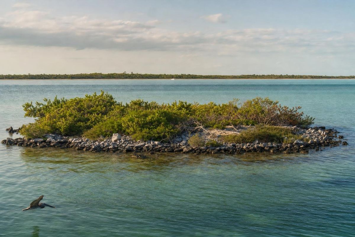
Combined with Isla Cerritos off nearby San Felipe, the north coast makes a quieter counterpart to the Caribbean side. More beaches are collected in the beaches section, and the reserve authority, CONANP, publishes information on Ría Lagartos.
Cancunito questions
Where is Playa Cancunito?
It is on the barrier island in front of Río Lagartos, on the north coast of Yucatán, inside the Ría Lagartos Biosphere Reserve. It is reached by boat from the village.
Why is it called Cancunito?
The name means "little Cancún" and refers to the clear turquoise water, which on calm days looks like the Caribbean beaches further east.
Is there a pink lake near Cancún?
The best-known pink lakes are the salt ponds at Las Coloradas, near Río Lagartos, about three hours by car from Cancún. They are working salt ponds, and swimming in them is not allowed.
Can you swim at Cancunito?
Yes, on calm days the water is shallow and clear. There are no lifeguards or facilities, so swim close to shore and only when the sea is calm.
When is the best time to see flamingos at Río Lagartos?
Flamingos are present for much of the year, with nesting usually in spring and early summer. Early morning boat trips give the best chance of seeing them in good light.
Nearby on the map
AI-generated image Islands · Yucatán
Isla Cerritos
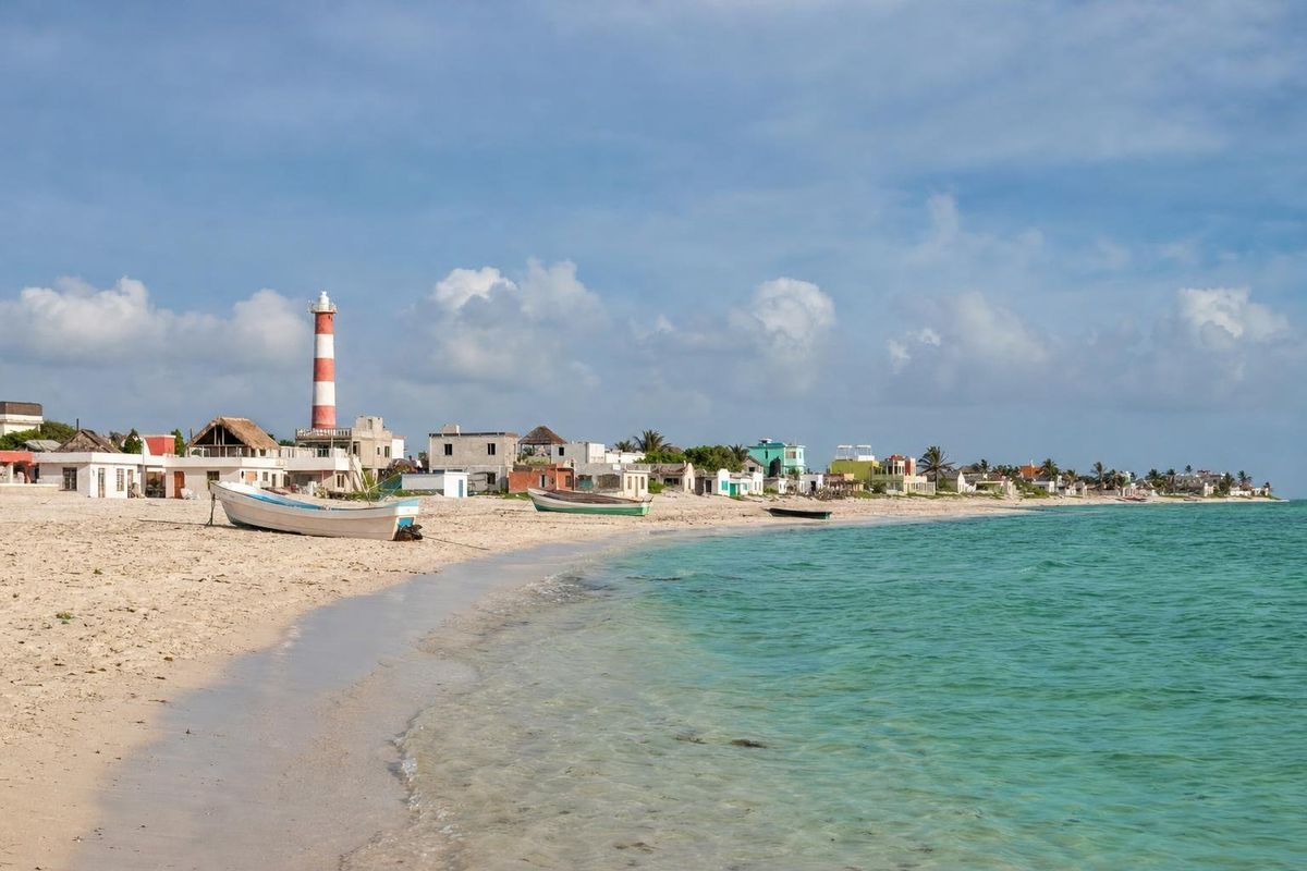
AI-generated image Beaches · Yucatán
El Cuyo
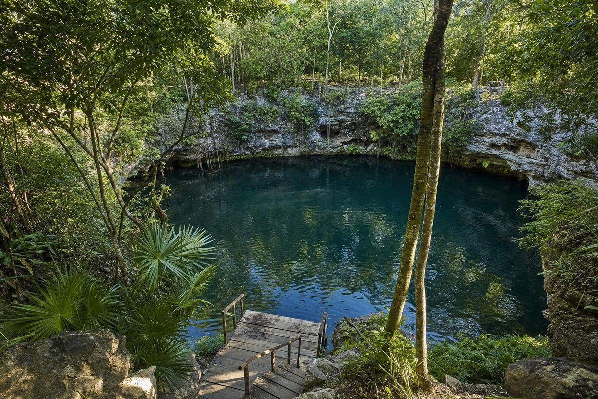
AI-generated image Cenotes · Yucatán
Kikil

AI-generated image Towns & Villages · Yucatán
Tizimín