
−20 m · Stone · Maya Ruins · Quintana Roo
Dzibanché Mayan Ruins: Seat of the Early Snake Kings in Quintana Roo
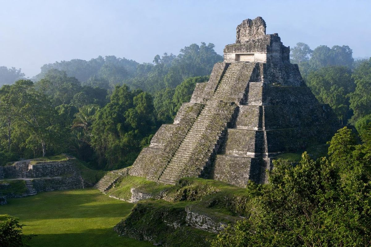
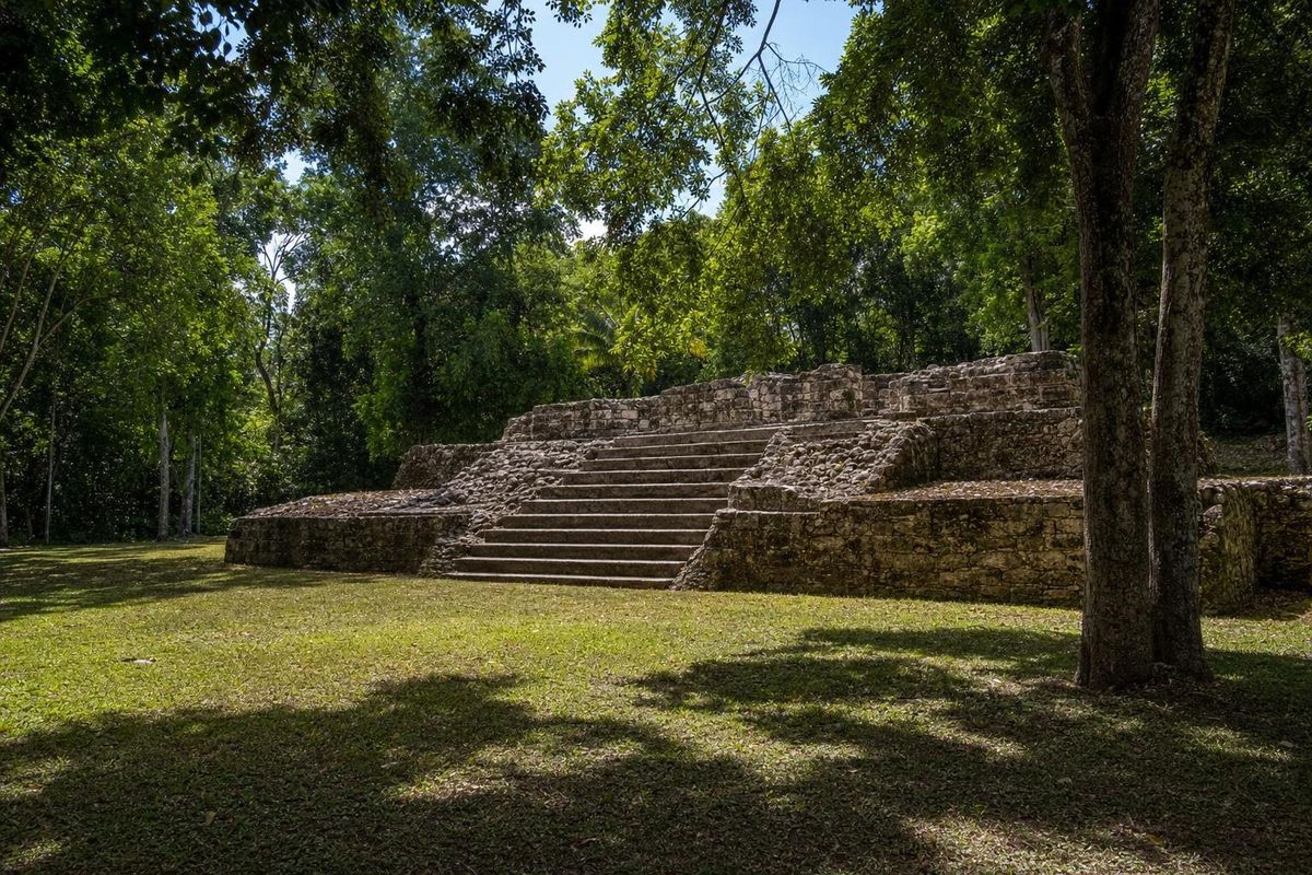
Dzibanché is a large Maya city in the forest of southern Quintana Roo, roughly 70 km west of Chetumal and about 40 km north of Kohunlich. Most epigraphers now see it as the seat of the Kaanul, or Snake, dynasty during the Early Classic, the royal house that later ruled from Calakmul and became the great rival of Tikal. Its steep temples, a carved wooden lintel still in place and a stair of sculpted captives make it one of the most rewarding sites in the region.
Writing on wood: the name and its discovery
The ancient name of the city is uncertain. Dzibanché was coined by the British physician and amateur archaeologist Thomas Gann, who visited in the 1920s and saw carved wooden lintels in one of its temples. In Yucatec Maya, dzib means writing and che means wood, so the name is usually translated as "writing on wood."
Serious excavation began only in the late 1980s and 1990s, when INAH archaeologists led by Enrique Nalda cleared and restored the main groups. Their work revealed a city occupied from the Late Preclassic into the Terminal Classic, with its most ambitious building in the Early Classic, roughly AD 300 to 600.
Dzibanché and the Snake kingdom
The Kaanul kings, whose emblem glyph is a snake head, were among the most powerful dynasties in the Maya lowlands. In the seventh century they ruled from Calakmul, in what is now Campeche, and built a network of alliances that defeated Tikal more than once. For a long time Calakmul was assumed to be their home.
Inscriptions and carved monuments found at Dzibanché changed that picture. Snake emblem glyphs appear here earlier than at Calakmul, and many epigraphers, among them Simon Martin, have argued that the dynasty was based at Dzibanché in the Early Classic and moved its seat to Calakmul in the early seventh century. The reasons for the move are still discussed. One line of research goes further and looks for Snake kings even earlier, in the Preclassic cities of the El Mirador basin in Guatemala; that idea is debated and not settled.
Whatever the details, Dzibanché was a capital, not a satellite. The scale of its plazas and the quality of its tombs reflect a royal court with reach across the southern lowlands, and nearby Kohunlich was very likely part of its world.
Key structures
Temple of the Lintels
The Templo de los Dinteles stands on a tall platform with a temple at its summit. Inside its doorway is a lintel of sapodilla wood, a hard tropical timber that resists rot, carved with a hieroglyphic text and still in place. Original wooden lintels are rare survivors in Maya architecture, and this one is the reason for the site's modern name.
Temple of the Owl
The Templo del Búho is a steep pyramid on the edge of the main plaza. Excavations inside it found a royal tomb with rich offerings, including painted vessels and jade. One lidded vessel decorated with an owl gave the building its name.
Temple of the Cormorants
The largest temple on the main plaza, the Templo de los Cormoranes, is named after a vessel painted with cormorants found in another burial. Its size and position suggest it was one of the city's principal royal monuments.
The captive steps
Building 13 carries a stairway whose steps are carved with figures of bound captives, each with a short hieroglyphic caption. Monuments like these displayed victories in war and named the defeated, and several of the texts include the Snake emblem glyph, part of the evidence linking the dynasty to Dzibanché.
Kinichná
About 2 km north, reached by a short drive or walk, is Kinichná, the "House of the Sun," a separate complex usually treated as part of the same city. Its acropolis rises in three stepped levels with temples on each, and the top gives a long view over the forest toward Dzibanché.
Fields in the wetlands
Southern Quintana Roo is dotted with bajos, seasonal wetlands that flood in the rains and dry out in spring. Research in this region and in neighboring Belize has found traces of ancient canals and raised or ditched fields along wetland edges, evidence that Maya farmers worked these soils intensively rather than relying only on forest clearing. How much of the population around Dzibanché depended on such fields is still an open question, but the low land visible from the top of Kinichná is the kind of terrain involved.
Getting there
Dzibanché is reached from Federal Highway 186, the road west from Chetumal toward Escárcega. Take the signed turnoff north near the village of Morocoy and follow a side road through farmland and forest for roughly 20 km. The drive from Chetumal takes around an hour and a half. There is no public transport to the entrance, so a car or a tour is needed.
The site combines well with Kohunlich on the same day. From Bacalar, an early start makes both possible with time for lunch. Travelers heading west can continue to Xpuhil and Calakmul, the later Snake capital, which makes a fitting sequence. Closer to Chetumal, Oxtankah shows a smaller coastal town of the same era.
Practical notes
Dzibanché sees few visitors, and services are minimal: bring water, food, repellent and sun protection. The forest is hot, and some temples are tall and steep; climbing is restricted on most structures, so follow the signs. Opening hours and fees are set by INAH and should be checked before going. The dry season, roughly November to April, is the most comfortable time, and early mornings bring howler monkeys and birds.
More sites of the region are collected in the Maya ruins section. At the Temple of the Lintels, look up rather than straight in: the carving is on the underside of the beam, so it is easy to walk beneath a carved text more than a thousand years old without noticing it.
Dzibanché FAQ
Where is Dzibanché?
In southern Quintana Roo, Mexico, roughly 70 km west of Chetumal, north of Federal Highway 186 near the village of Morocoy.
What does Dzibanché mean?
It is a modern Yucatec Maya name meaning "writing on wood," given after the carved wooden lintels found in one of its temples.
Who were the Snake kings?
The Kaanul dynasty, whose emblem glyph is a snake head. Many epigraphers place their Early Classic seat at Dzibanché before they moved to Calakmul in the seventh century.
What is Kinichná?
A separate complex about 2 km north of Dzibanché, the "House of the Sun," with a three-level acropolis. It is usually visited together with the main site.
Can you climb the temples at Dzibanché?
Climbing is restricted on most structures to protect them. Check the signs and the staff's instructions on the day.
Nearby on the map
AI-generated image Maya Ruins · Quintana Roo
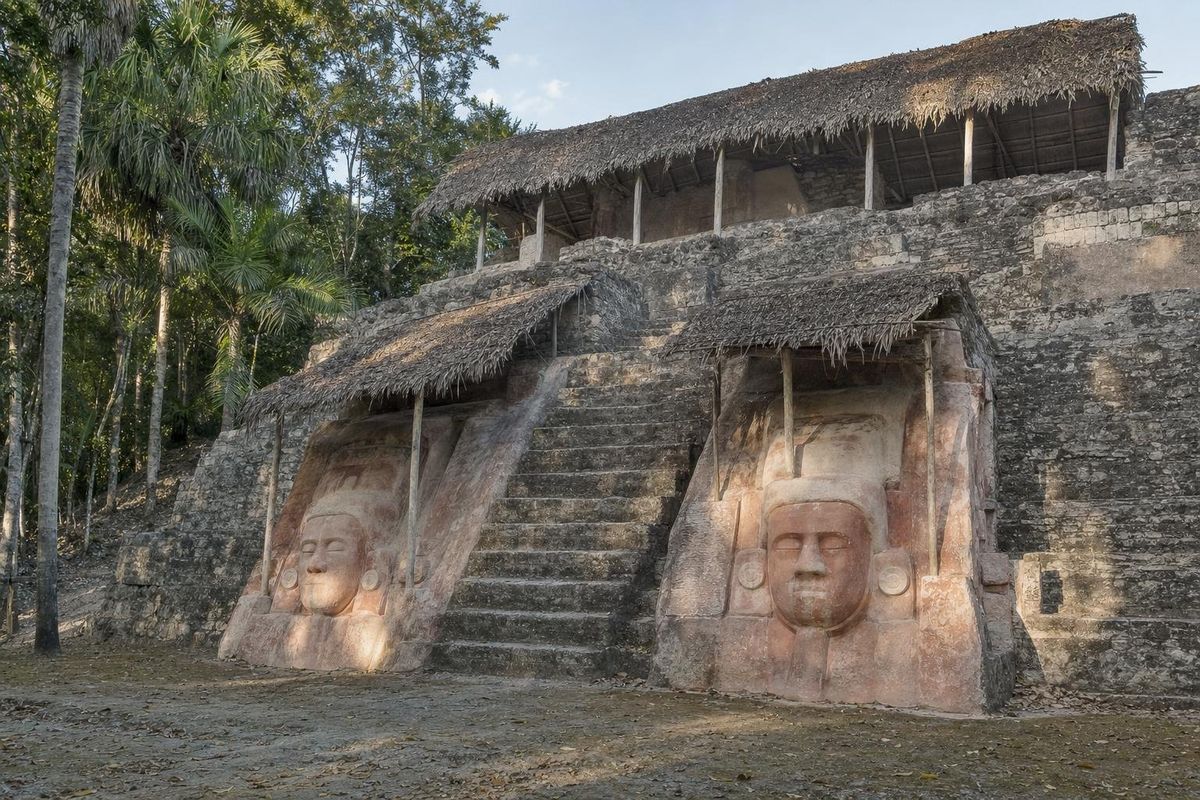
Kohunlich
AI-generated image Lakes & Rivers · Quintana Roo
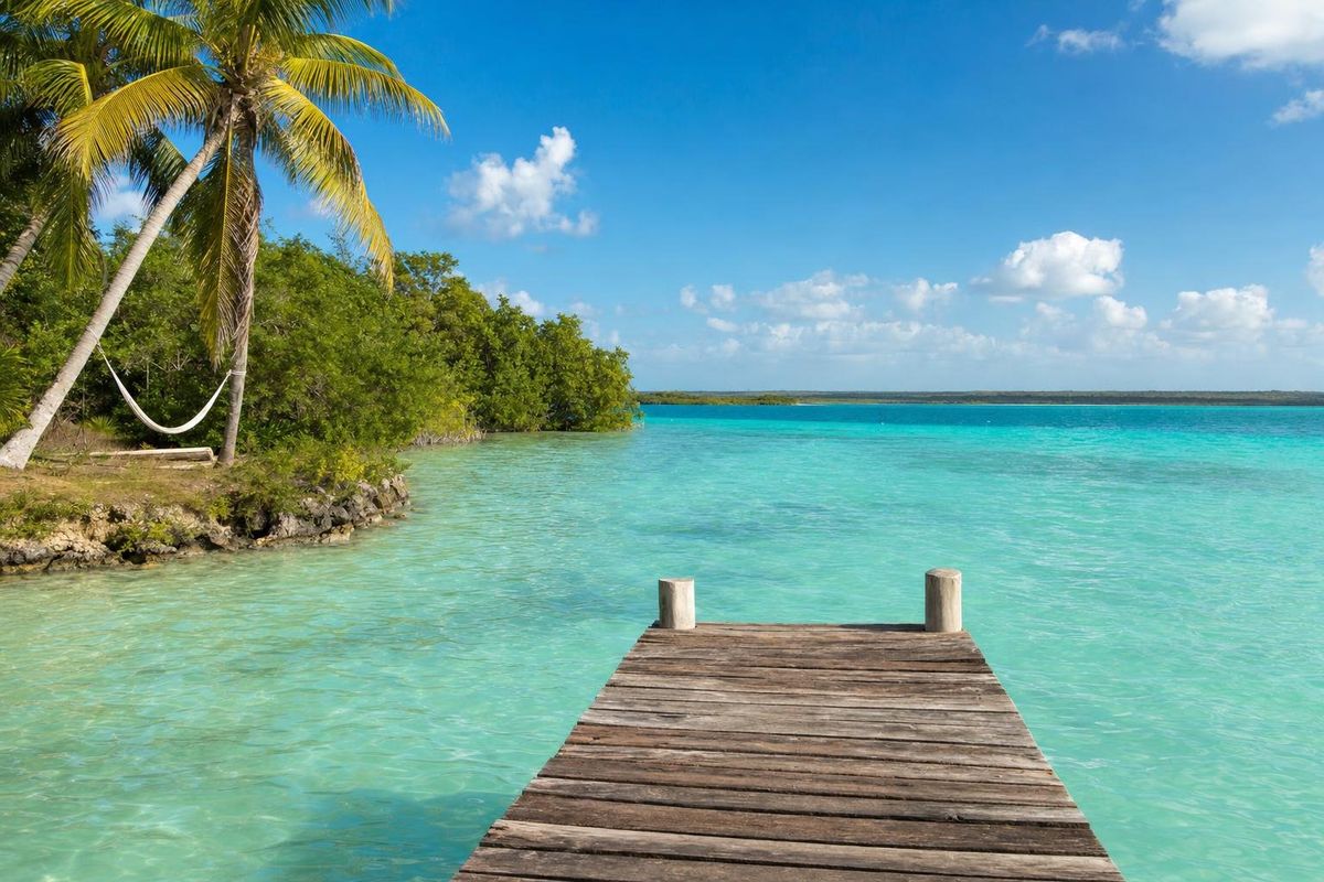
Bacalar
AI-generated image Towns & Villages · Quintana Roo
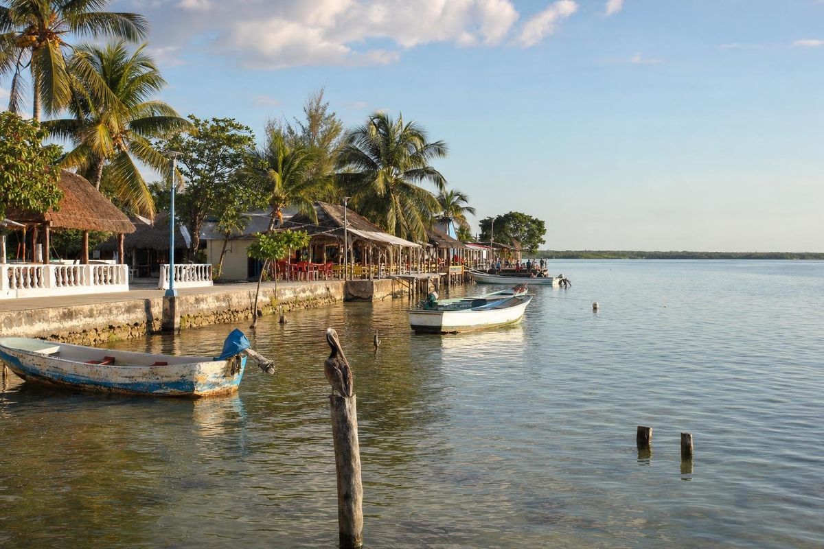
Calderitas
AI-generated image Maya Ruins · Quintana Roo
Oxtankah