
0 m · Trips
Yucatán Trips: Routes, Getting Around, Safety Basics and Seasons
The trip pages string places from the rest of the magazine into routes that work on the ground. Each one starts from a base town and keeps the driving manageable.
Every guide in Trips

AI-generated image Trips · Central Mexico
Around Mexico City
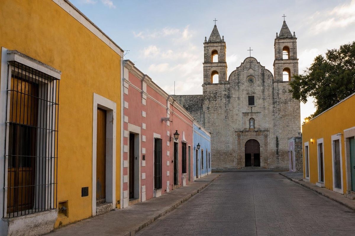
AI-generated image Trips · Yucatán
Around Valladolid

AI-generated image Trips · Yucatán
Cenotes of Yucatán
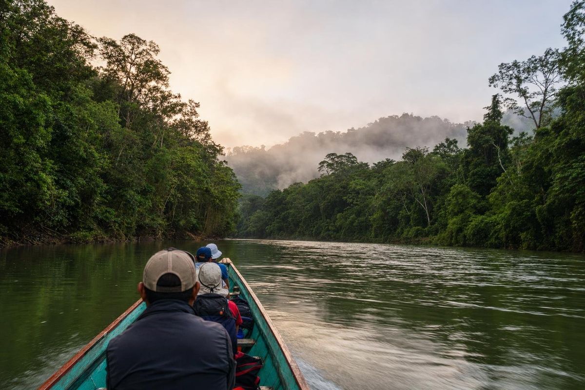
AI-generated image Trips · Chiapas
Eerie Legends
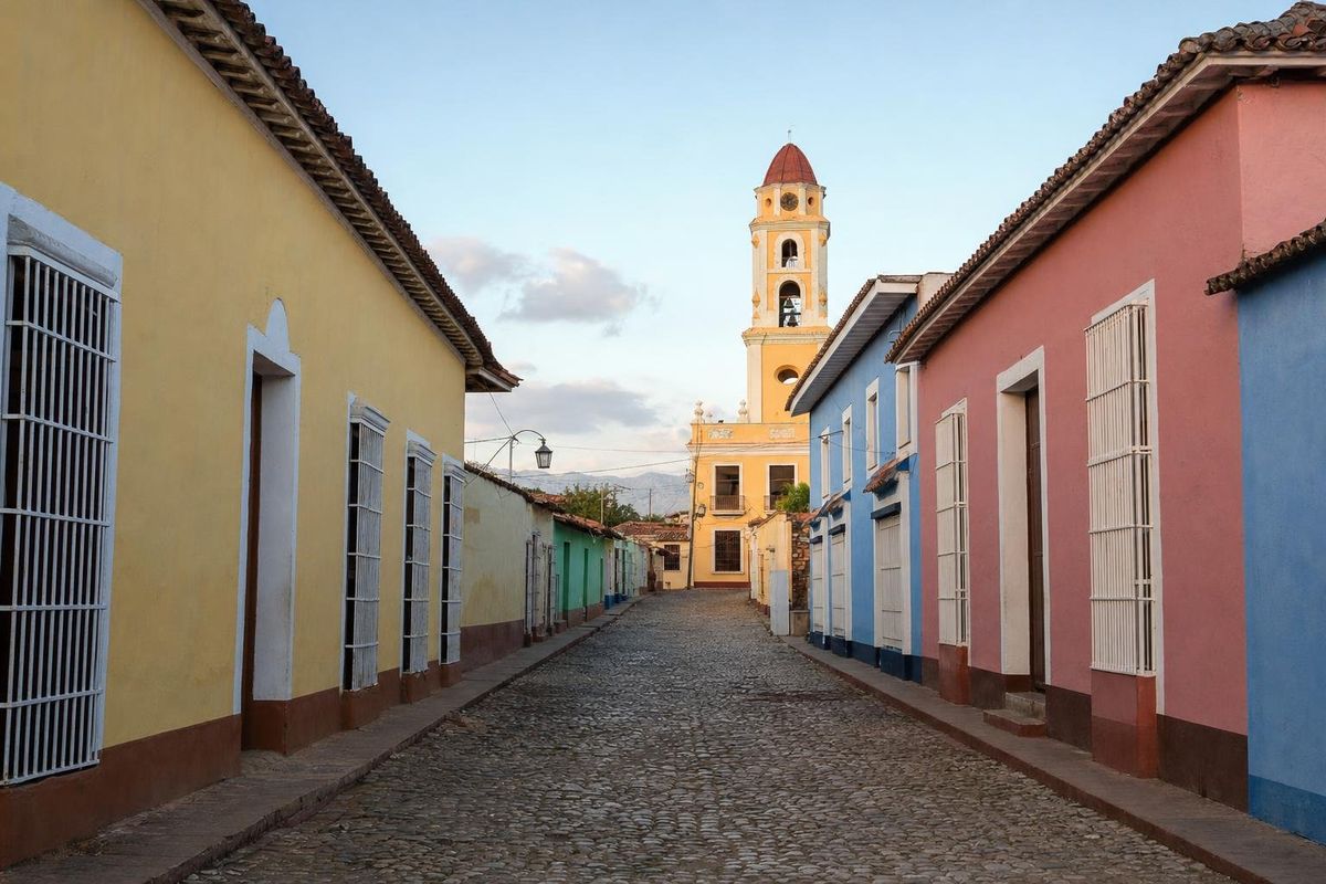
AI-generated image Trips · Cuba
Escape Havana
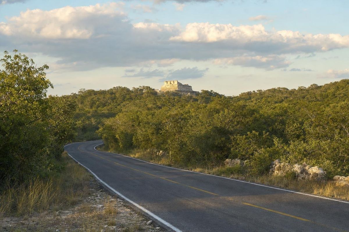
AI-generated image Trips · Yucatán
Puuc Hills
How the routes are built
Each trip starts from a town with places to sleep and eat, then links sites that make sense together: a ruin in the morning, a cenote at midday when the heat peaks, a town in the evening. Distances are kept to what can be driven in daylight, since rural roads are unlit and speed bumps, called topes, appear without much warning. The Puuc hills route south of Mérida, for example, strings Uxmal, Kabah, Sayil and Labná along one road, and the trip around Valladolid pairs Chichén Itzá and Ek' Balam with nearby cenotes.
Some routes follow a theme rather than a map. The cenote route visits several types of sinkhole in a day, and the eerie legends trip collects the ghost stories and folk beliefs attached to places on the peninsula. A few trips leave Yucatán altogether, such as day trips from Mexico City and an escape from Havana into the Cuban countryside.
Getting around
A rental car is the most flexible option for small ruins and cenotes, and the main highways are generally in good condition. Toll roads are faster and better maintained than the free roads that run alongside. First-class long-distance buses connect the main towns comfortably, while second-class buses and shared colectivo vans reach villages. The Tren Maya railway, which opened in stages from late 2023, adds another option between the larger towns; its schedules and stations are still evolving. Routes, fares and timetables change often, so check them locally.
Fuel stations are frequent on the main highways and sparse on the back roads of the south, so fill the tank before heading toward Calakmul or the Costa Maya. Military and police checkpoints are routine on some roads; keep identity documents and car papers at hand.
Safety basics
Most travel on the peninsula is uneventful, and Yucatán state is often cited as one of the safer parts of Mexico. Standard precautions still apply: drive only in daylight on rural roads, use official taxis or ride apps in cities, keep valuables out of sight in parked cars, and follow current government travel advice. Heat is the more common risk. Carry more water than seems necessary, start early and rest in the afternoon. In cenotes and at sea, wear a life jacket if swimming is not a strength, and respect red flags on Caribbean beaches.
Choosing the season
The dry season, roughly November to April, is the most comfortable for ruins and the busiest for travel, especially around Christmas, New Year and Easter. May is often the hottest month inland. The rainy season, from about June to October, brings afternoon storms, green forest and fewer visitors, and overlaps with the Atlantic hurricane season from June to the end of November. Sargassum on the Caribbean coast tends to be heaviest in late spring and summer, though it varies by year.
Questions about trips
Is it better to rent a car or use buses?
A car suits travellers who want small ruins and cenotes off the main roads. Buses are comfortable and cheap between the larger towns, but reaching rural sites without a car takes more time.
Is driving at night a good idea?
On rural roads, no. Roads are unlit, speed bumps and animals appear suddenly, and help is far away.
How long does the Puuc route take?
A long day covers the main Puuc sites from Mérida; two days allow a slower pace with the Loltún caves and a night near Uxmal or Santa Elena.
When is hurricane season?
Officially June 1 to November 30, with the highest risk generally from August to October.
Is the Yucatán safe for independent travellers?
Generally yes, with normal precautions. Check current official travel advice before going, as conditions differ between regions.