
−20 m · Stone · Maya Ruins · Veracruz
Cempoala, Veracruz: the Totonac City Where Cortés Found Allies
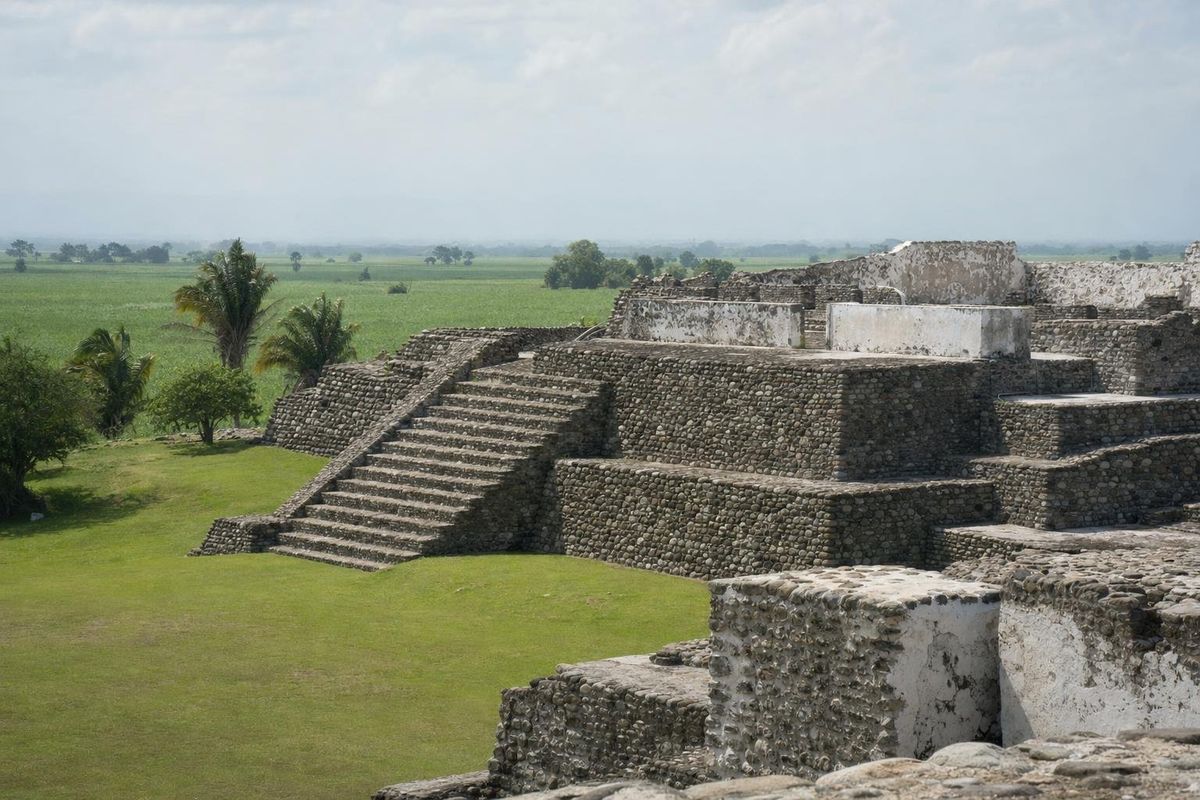
Cempoala, also spelled Zempoala, is a Totonac archaeological site about 40 km north of the port of Veracruz, beside the small town of the same name and a few kilometres from the Gulf coast. Its temples are built from rounded river stones once coated in white lime, and it was here in 1519 that Hernán Cortés won the Totonac alliance that made his march on the Aztec capital possible. Few sites in Mexico are so closely tied to a single, well-documented moment.
A Totonac capital with walls like silver
The name comes from Nahuatl and is usually translated as "place of twenty waters" or, more loosely, "place of the count", a reference either to the many streams of the coastal plain or to tribute reckoning. The ruins visible today date mostly from the Late Postclassic period, roughly the 13th century to the Spanish arrival, when Cempoala was a leading town of Totonacapan, the Totonac territory stretching across central Veracruz. Settlement on the site is much older.
In the mid-1400s the Aztec Triple Alliance brought the region under its tribute system. Totonac towns paid in cotton cloth, food and goods, and resentment of the tax collectors ran high. When Cortés landed on the coast in 1519, the ruler of Cempoala, remembered in Spanish chronicles as the "fat cacique" and identified by some historians as Xicomecóatl, received him with food and gifts. Bernal Díaz del Castillo, who marched with Cortés, wrote that the soldiers' first sight of the white plastered buildings in the sun made them think the walls were silver.
The alliance was practical on both sides. Cempoala provided porters, warriors and guides for the march inland in August 1519. In May 1520 the town was the setting for another fight: Cortés returned from Tenochtitlan and defeated Pánfilo de Narváez, sent from Cuba to arrest him, in a night attack on the main temple where Narváez had taken position. The town did not survive the century that followed. Epidemics, forced labour and resettlement emptied it, and by the 1600s it was largely abandoned, the temples hidden under vegetation and cane fields.
The historian Francisco del Paso y Troncoso explored the ruins in the 1890s, and the archaeologist José García Payón excavated and restored the main buildings in the mid-20th century.
What to see in the ceremonial centre
The restored core is compact, a series of walled plazas with temples raised on platforms to stay clear of the floods that once spread across the plain. The building technique is distinctive: smooth river cobbles set in mortar, then plastered and painted. Much of the plaster has gone, which leaves the grey stones exposed and gives Cempoala a look quite unlike the cut limestone of Maya sites.
Templo Mayor
The largest pyramid, with a broad staircase and a temple platform on top. This is generally identified as the building where Narváez and his men took refuge in 1520.
Gran Pirámide
Often called the Temple of the Sun, it faces a large plaza and is usually read as the main temple for solar worship. A smaller platform beside it is sometimes called the Temple of the Moon.
Templo de las Chimeneas
The Temple of the Chimneys takes its name from a row of half-round columns on its front, which reminded early visitors of chimneys. Local tradition places the first lodging of Cortés's men in this part of the city.
Temple of Ehécatl and Las Caritas
A temple with a rounded back is usually associated with Ehécatl, the wind aspect of the Feathered Serpent; round buildings were linked with the wind god across Mesoamerica. Las Caritas, "the little faces", is named after the small clay heads that were once set into its walls.
The stone circles
Near the entrance zone are low circular enclosures made of rounded stones with small stepped merlons around the rim. Their purpose is unknown. One theory, put forward by the geographer Vincent Malmström, treats the counts of pillars as a calendar device for tracking astronomical cycles; others link the largest circle with sacrificial combat rituals. The evidence for either reading is thin, and they are best seen as an open question.
The small site museum
A modest museum near the entrance holds pottery, clay figures and stone sculpture from the excavations, giving faces and form to a culture that is otherwise known mostly from Spanish chronicles. It takes about 20 minutes and helps put the bare platforms in context.
How to get to Zempoala, Veracruz
The site lies on the edge of the town of Zempoala, in the municipality of Úrsulo Galván. From Veracruz city, take Highway 180 north toward José Cardel, then the turn east toward the coast; the drive is around 45 minutes in normal traffic. Buses run from Veracruz to Cardel, from where local buses and taxis cover the last stretch. Many travellers combine the ruins with La Antigua, the river town where Cortés's settlement stood a few years later, which lies just off the same highway. A third stop, the hilltop Totonac site of Quiahuiztlan with its tiny tomb-temples, is further north toward the coast.
Practical notes for the visit
This is the hot, humid Gulf lowland. Morning is the best time, before the heat builds, and shade inside the site is limited to a few trees. Afternoon thunderstorms are frequent from about June to October, and the period from August to October is also the peak of hurricane season in the Gulf. Sugar cane still grows around the ruins, and in the harvest months the fields are sometimes burned, which can fill the air with ash and smoke.
The site is managed by INAH; check the official website for current opening days. Climbing rules on individual temples vary and are marked at each structure. Local guides are sometimes available at the gate, mostly in Spanish. For a sense of scale before or after, compare Cempoala with the planned city of Teotihuacán in the central highlands, which was already a ruin a thousand years before the Totonacs met Cortés. Other archaeological sites appear in the ruins section.
From the plaza in front of the Gran Pirámide, the cane fields beyond the boundary wall run almost all the way to the coast.
Questions about Cempoala
Is it Cempoala or Zempoala?
Both spellings are used for the same Nahuatl name. Zempoala is common on road signs and for the town; Cempoala often appears in historical and archaeological writing.
Who lived in Cempoala?
The Totonacs, whose territory covered much of central Veracruz. At the time of the Spanish arrival the town paid tribute to the Aztec Triple Alliance.
Why is Cempoala important in the conquest of Mexico?
It was the first large city Cortés's force entered, and its ruler supplied porters and warriors for the march to Tenochtitlan in 1519. In 1520 Cortés defeated Pánfilo de Narváez there.
How long does a visit take?
About two hours including the small museum. It pairs well with La Antigua on a day trip from Veracruz city.
What were the stone circles for?
Nobody knows for sure. Suggestions include a calendar device and a stage for ritual combat, but none has been confirmed.
Nearby on the map
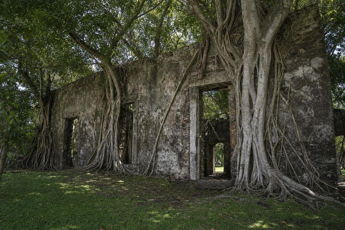
AI-generated image Towns & Villages · Veracruz
La Antigua
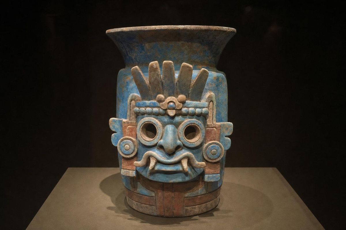
AI-generated image Maya Mysteries · Estado de México
Goggles
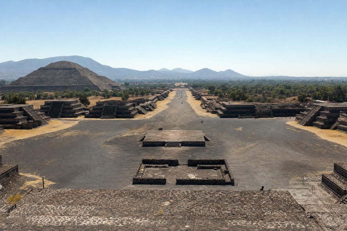
AI-generated image Maya Ruins · State of Mexico
Teotihuacán
AI-generated image People of Mexico · Oaxaca
Zapotec pottery