
−20 m · Stone · Maya Ruins · State of Mexico
Teotihuacán: the Pyramids, the City Map and Who Built It
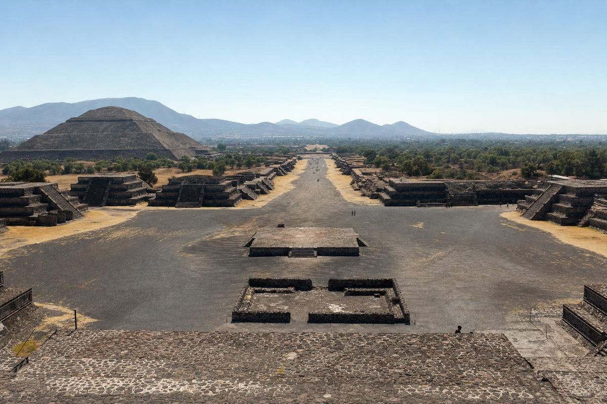
Teotihuacán lies about 50 km northeast of central Mexico City, roughly an hour by road, and its two great pyramids, the Sun and the Moon, stand on a single avenue more than two kilometres long. Between about AD 200 and 550 it was the largest city in the Americas, home to something like 100,000 people. Nobody knows what its inhabitants called it, or which language they spoke.
A city before it was a ruin
The name is Aztec. When Nahuatl speakers reached the Valley of Mexico in the 1300s, the city had been empty for centuries, and they called it Teotihuacán, usually translated as "the place where the gods were made" or "birthplace of the gods". In their creation story the gods gathered here and two of them threw themselves into a fire to become the Sun and the Moon. The Aztecs also gave the main street its name, the Avenue of the Dead, because they took the mounds along it for tombs. Most of them are platforms and the bases of temples.
Settlement began around 100 BC. The eruption of the Xitle volcano, which buried the rival town of Cuicuilco in the south of the valley, probably pushed people north and helped Teotihuacán grow. The Pyramid of the Sun went up in the first two centuries AD. At its height the city covered roughly 20 square kilometres, with obsidian workshops, potters' quarters and more than 2,000 walled apartment compounds where several families lived together.
Its reach went far beyond the valley. Maya inscriptions at Tikal record the arrival in AD 378 of a figure named Sihyaj K'ahk', linked with Teotihuacán, and a new ruling line soon after. Teotihuacán-style goggles and spear-throwers appear on Maya monuments from Guatemala to Copán. Around AD 550 the temples and elite buildings along the avenue were burned, whether by invaders or by people inside the city is still argued, and by the 600s it was largely abandoned.
Who built Teotihuacán?
The honest answer is that the builders left no readable account of themselves. Teotihuacán had a sign system, but no long texts, and no royal tombs with named portraits have been found. Older guidebooks credited the Toltecs, but Tula, the Toltec capital, flourished centuries later. Candidates discussed today include early Nahua speakers, Otomí and Totonac groups. Many archaeologists now see a mixed population: excavations found a neighbourhood with Zapotec-style tombs and pottery from Oaxaca, and another with goods from the Gulf Coast and the Maya area.
How the city was ruled is just as open. One school of thought argues for a collective government of powerful families or priestly orders, partly because there are no boastful ruler portraits of the kind the Maya carved everywhere. Others think a dynasty existed and simply left less evidence. Murals show richly dressed figures, but they are offering, sowing or marching in procession, not named.
The Teotihuacán map: a grid set at an angle
Seen from above, the city looks like graph paper turned slightly clockwise. The Avenue of the Dead runs at about 15.5 degrees east of true north, and almost every wall, compound and even the San Juan river, which the builders channelled to cross the avenue, follows that grid. Astronomers have tied the angle to sunsets on particular dates and to the setting of the Pleiades; none of the explanations has been proven, but the consistency is clearly deliberate.
Walking the site, it helps to keep three anchors in mind. The Pyramid of the Moon closes the avenue at its northern end. The Pyramid of the Sun stands on the east side, about two-thirds of the way down. The Ciudadela, a vast sunken square holding the Temple of the Feathered Serpent, lies further south across the river channel. Car parks and entrances sit near each of these, so it is easy to walk the avenue one way only.
The Teotihuacan pyramids and what to look for
Pyramid of the Sun
About 65 metres high, with a base close to 220 metres on a side, it is one of the largest pyramids in the Americas. In 1971 a cave was found under it, a natural lava tube reworked into a tunnel with chambers at its end; many scholars read it as a sacred place of origin that may explain why the pyramid stands exactly here. Climbing has been suspended in recent years to protect the structure, so check on arrival whether it is allowed.
Pyramid of the Moon
Smaller, but built on higher ground so its summit sits at a similar level. Excavations inside it uncovered several building phases and burials of sacrificed people and animals, including eagles, pumas and wolves, placed as foundation offerings. The plaza in front of it is ringed by platforms and is the best place to take in the full length of the avenue.
Temple of the Feathered Serpent
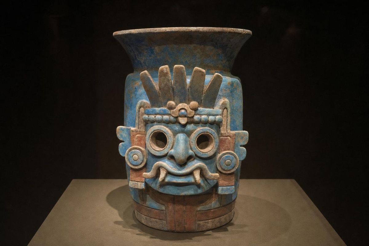
The facade of this temple in the Ciudadela still carries rows of serpent heads ringed with feathers, alternating with a squarer, goggle-eyed head that has been read as a headdress, a storm god or a fire serpent. Around two hundred sacrificed people, many dressed as warriors, were buried in and around it when it was built. In 2003 the INAH archaeologist Sergio Gómez found the entrance to a tunnel running under the temple; it held thousands of offerings, walls dusted with pyrite and, in one chamber, liquid mercury.
Palaces and murals
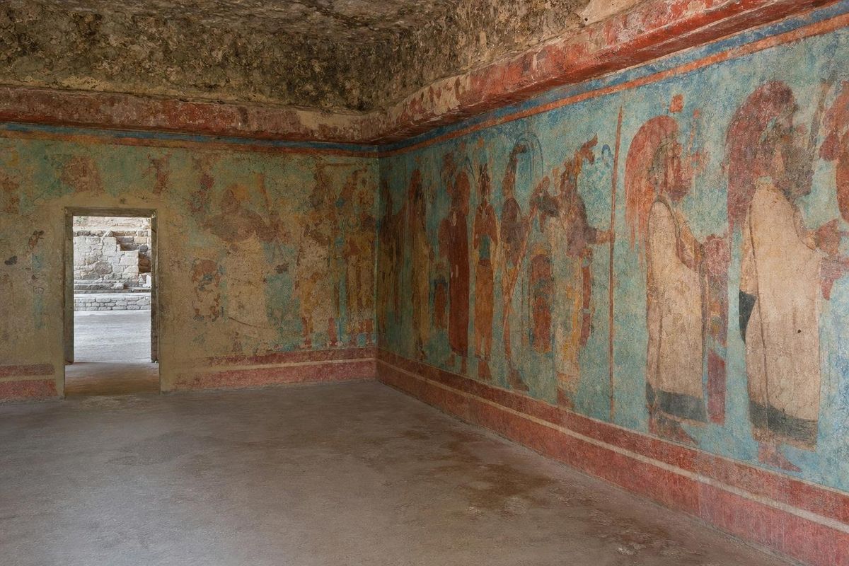
Beside the Moon plaza, the Palace of Quetzalpapalotl has carved pillars with bird motifs and a restored courtyard. Outside the main zone, the Tepantitla compound preserves the mural often called the Tlalocan, with small figures swimming, playing and singing around a goddess who sprouts plants. The site's two museums, one near the Pyramid of the Sun and one dedicated to murals near the Moon, show the pottery, masks and painted fragments that make the abstract ruins easier to read.
Getting there and timing a visit
Buses to the pyramids leave from the Terminal Central del Norte in Mexico City; the ride takes around an hour, more in traffic. By car, the route is the toll highway toward Pachuca and then the turn to San Juan Teotihuacán. Organised day trips often combine the site with the Basilica of Guadalupe, which leaves less time on the ground, so travellers who want to see the murals usually come independently.
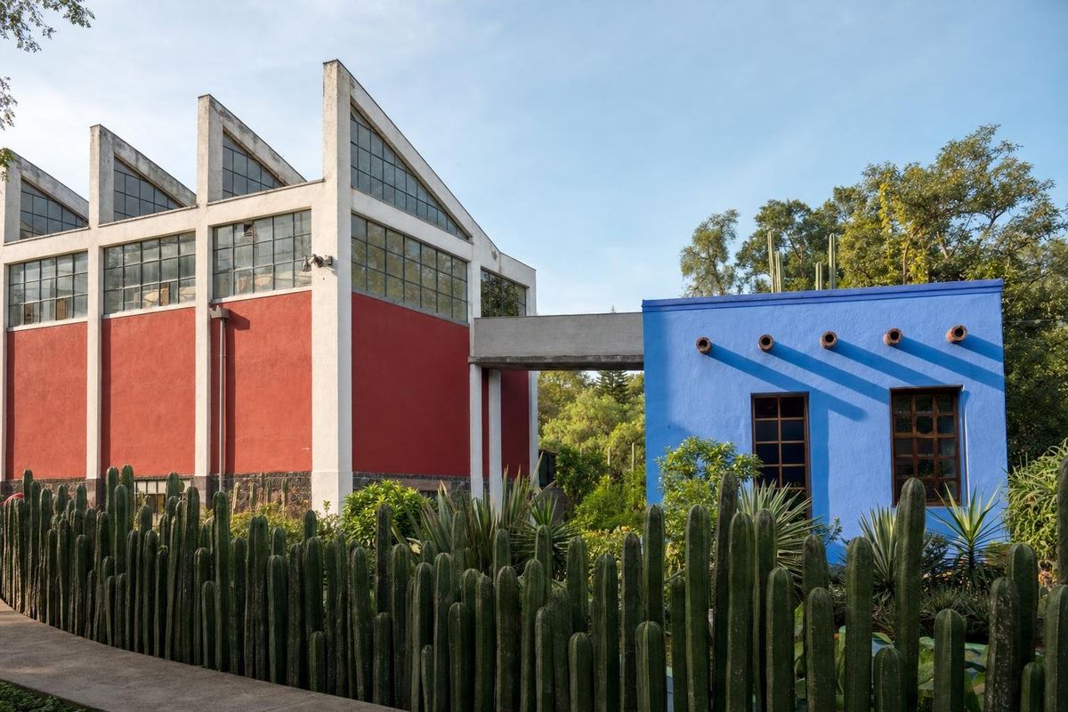
Arrive at opening time. By late morning the sun is fierce at 2,300 metres and the avenue fills with groups. The site is large: walking from the Ciudadela to the Moon plaza and back is about five kilometres before any detours. Hot-air balloon flights over the valley at dawn are popular, but operators and safety standards vary, so research them carefully. Teotihuacán fits naturally into a wider loop of trips around Mexico City, and the Rivera murals and house-museums in the capital, such as the studio-house of Diego Rivera and Frida Kahlo, make a good pairing on another day.
Practical notes
Bring a hat, sunscreen and more water than seems necessary; shade is scarce. Afternoon storms are common from about June to September. Drones are not allowed without a permit from INAH, the national institute that manages the site; its official website lists current conditions, and the UNESCO listing explains the city's significance. Vendors sell obsidian carvings and clay whistles that imitate a jaguar's roar along the avenue.
For a sense of how Teotihuacán's influence reached the Maya, the goggled figures are worth following further: the site's goggle motif and the Feathered Serpent both reappear hundreds of kilometres away in Yucatán. More archaeological sites are collected in the ruins section. One small find is easy to miss on the way out: fragments of red-painted plaster still cling to the lower walls of some compounds along the avenue.
Questions about Teotihuacán
Who built Teotihuacán?
Its builders are unknown by name. The population was probably mixed, with early Nahua, Otomí or Totonac speakers among the candidates and known neighbourhoods of people from Oaxaca and the Gulf Coast. The Aztecs found it already abandoned.
Can you climb the Pyramid of the Sun?
Climbing has been suspended in recent years to protect the structure. Rules change, so check with the site on the day of your visit.
How far is Teotihuacán from Mexico City?
About 50 km northeast of the centre, roughly an hour by bus or car without heavy traffic. Buses leave from the Terminal Central del Norte.
How much time does the site need?
Half a day covers the avenue and both pyramids. A full day allows time for the museums, the Palace of Quetzalpapalotl and the Tepantitla murals.
Why is the Avenue of the Dead not aligned north to south?
The whole city grid is turned about 15.5 degrees east of north. Researchers have linked the angle to sunset dates and star settings, but no single explanation has been confirmed.
Nearby on the map
AI-generated image Maya Mysteries · Estado de México
Goggles
AI-generated image Trips · Central Mexico
Around Mexico City
AI-generated image Maya Mysteries · Mexico City
Dress and Ahuianime
AI-generated image Museums · Mexico City
Diego & Frida Studio-House