
−2 m · Lakes & Rivers
Lakes and Rivers: Bacalar, the Pink Lagoons and Southern Waterfalls
On a peninsula where rain disappears into the rock, standing water is rare. The few lakes, lagoons and rivers that do exist are some of the most striking places in the region.
Every guide in Lakes & Rivers
AI-generated image Lakes & Rivers · Chiapas
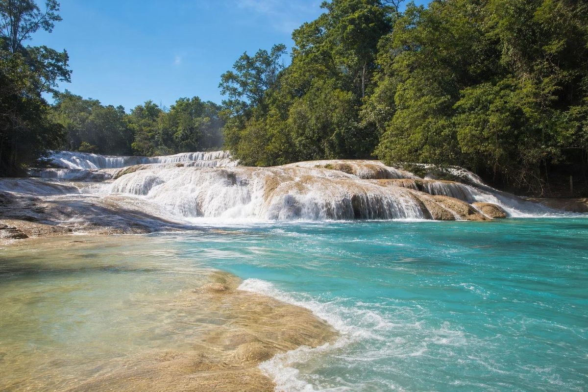
Agua Azul
AI-generated image Lakes & Rivers · Quintana Roo
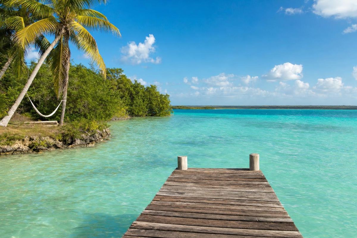
Bacalar
AI-generated image Lakes & Rivers · Yucatán
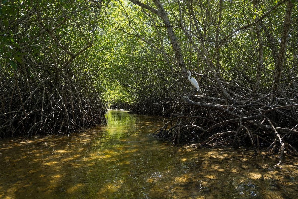
Celestún Reserve
AI-generated image Lakes & Rivers · Oaxaca
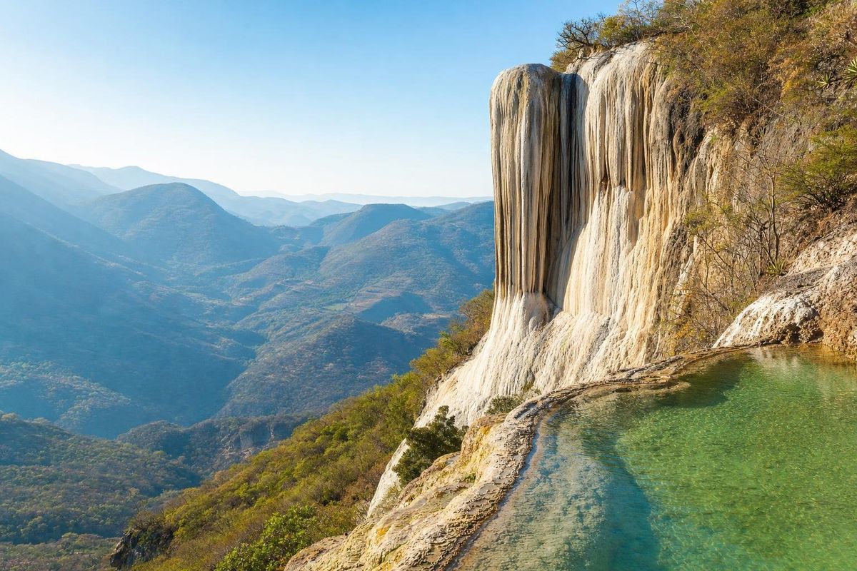
Hierve el Agua
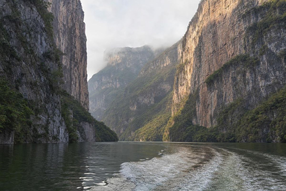
AI-generated image Lakes & Rivers · Chiapas
Sumidero Canyon
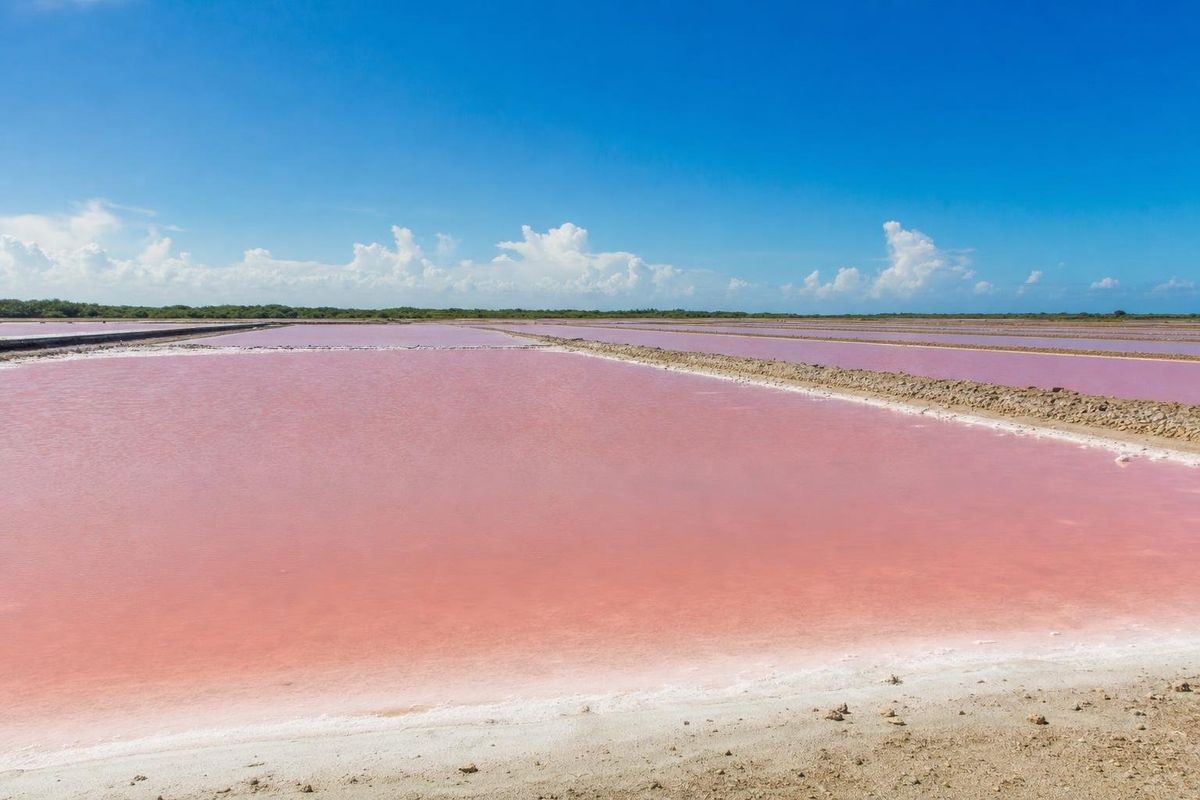
AI-generated image Lakes & Rivers · Yucatán
Xtampú Pink Lake
A peninsula without rivers
Look at a map of the northern Yucatán and something is missing: there are no rivers. Rain sinks through the porous limestone almost as fast as it falls and travels underground, surfacing only in cenotes. Surface water becomes more common to the south, where the rock is older and the land rises, and along the coast, where lagoons form behind sandbars. The Río Hondo, which forms the border between Mexico and Belize, is the one sizeable river on the Mexican side of the peninsula. Further west, in Campeche and Tabasco, the land drops into wetlands and slow rivers such as the Candelaria and the Usumacinta, which carried Maya canoe traffic between inland cities and the coast.
Bacalar, the lagoon of seven colors
The largest body of fresh water in the region is the long, narrow lagoon at Bacalar in southern Quintana Roo. It stretches for about 40 kilometers north to south and is fed by cenotes and underground springs. Its bands of blue, from almost white over sand to dark navy over deep holes, earned it the name "lagoon of seven colors". Along its shallow edges grow stromatolites, layered mounds built by microbes and among the oldest forms of life on Earth; they are fragile, and walking on them is prohibited. The colonial fort of San Felipe in the town recalls the pirates who used the lagoon to raid inland. Kayaks and small sailboats are the usual way to see it; motorboats are restricted on parts of the water.
Pink lakes and salt flats
On the north coast of Yucatán state, shallow lagoons used for salt production turn shades of pink. The color comes from microorganisms and tiny brine shrimp that thrive in very salty water, the same diet that keeps flamingos pink. Xtampú and its pink lagoon near Dzemul is one of these, smaller and less visited than Las Coloradas further east. Salt has been harvested along this coast since Maya times, and parts of the lagoons are working salt pans; visitors are asked not to wade in.
Waterfalls beyond the peninsula
South and west of Yucatán, in the mountains of Chiapas and Oaxaca, water behaves differently. Agua Azul in northern Chiapas is a long series of cascades whose milky turquoise comes from dissolved carbonate; in the rainy season the water often runs brown with sediment instead. In the Oaxacan highlands, Hierve el Agua has mineral springs that have built up white formations resembling frozen waterfalls on the cliff face, with natural pools at the top.
All of these places depend on clean water and limited traffic. Bacalar's colors in particular have suffered after heavy rain and runoff, and local groups monitor it closely. Rules on swimming, boats and sunscreen tend to be strict and are worth following to the letter. Access to Agua Azul and Hierve el Agua has at times been interrupted by local disputes, so check the situation before a long drive.
Questions about lakes and rivers
Why are there no rivers in the Yucatán?
The limestone is so porous that rain drains straight into the ground and flows underground. Cenotes are where that hidden water comes to the surface.
Can you swim in Bacalar lagoon?
Yes, from public docks and access points around the lagoon, but not on the stromatolites, and only without chemical sunscreen.
Why are the pink lakes pink?
Salt-loving microorganisms and brine shrimp color the water in very salty lagoons, especially in strong sun.
When is Agua Azul at its bluest?
Usually in the dry season, roughly from late winter to spring. Rainy-season runoff often turns the water brown.