
−5 m · Shallows · Lakes & Rivers · Chiapas
Sumidero Canyon, Chiapas: Grijalva Boat Trip, Viewpoints and Wildlife
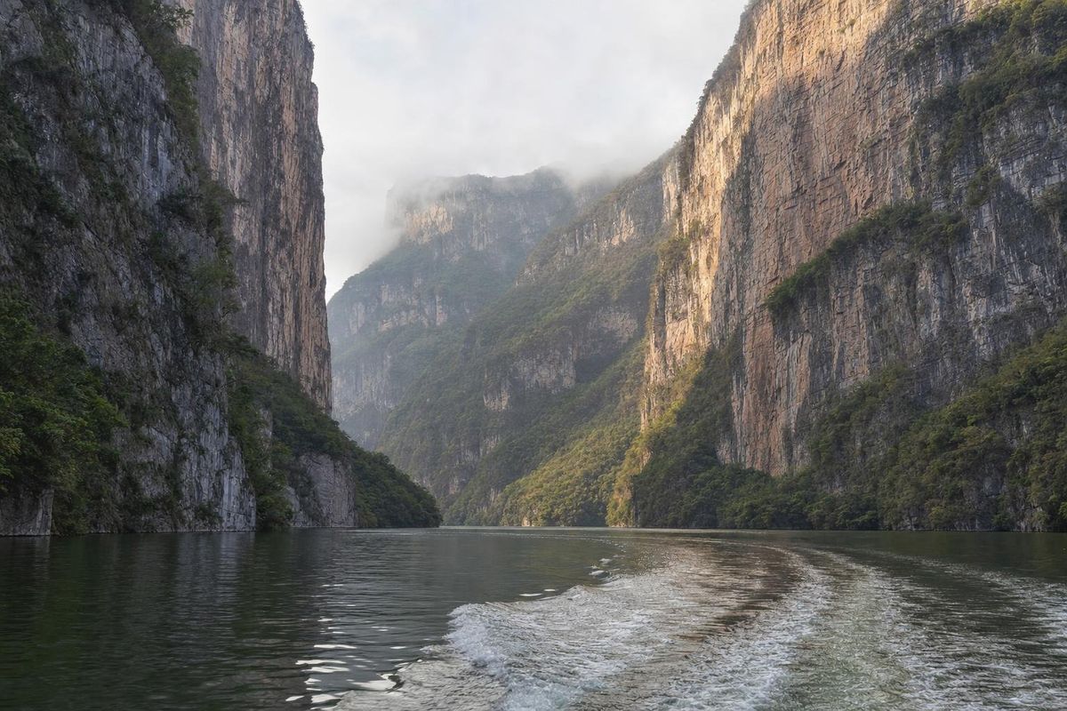
Sumidero Canyon is a deep gorge cut by the Grijalva River just north of Tuxtla Gutiérrez, the state capital of Chiapas. Its limestone walls rise up to about a kilometer above the water, and the boat trip through it, most often from the colonial town of Chiapa de Corzo, passes crocodiles, waterfalls and monkeys on the way. The canyon has been a national park since 1980.
A river canyon in the Chiapas highlands
The Grijalva rises in the highlands of Guatemala and crosses Chiapas before flowing through Tabasco to the Gulf of Mexico. North of Tuxtla Gutiérrez it meets a block of limestone and cuts straight through it. The result is a canyon around 13 kilometers long, with near-vertical walls that reach roughly 1,000 meters at their highest points. Seen from a boat at water level, the clifftops are often lost in haze.
The river inside the canyon is no longer wild. The Chicoasén dam, built at the northern end and completed around 1980, raised the water level and turned this stretch into a long, calm reservoir. That is what makes the boat trip possible, and the same year the area was declared a national park, now managed by Mexico's protected areas commission, CONANP.
A well-known story attaches to the canyon. Spanish chroniclers wrote that during the conquest of the region in the sixteenth century, people of the Chiapa nation threw themselves from the cliffs rather than surrender. Historians treat the account with caution, but it is told on almost every boat and remains part of local identity.
The Sumidero Canyon boat trip
Most visitors see the canyon from the water. Fast open launches carry groups downstream from the river landings to the Chicoasén dam and back, a round trip of about two hours. The pilot slows down at the main sights and points out wildlife, usually in Spanish.
Formations along the way
The best-known feature is the Árbol de Navidad, the Christmas Tree: a cascade of mineral deposits and moss down the cliff face, shaped like the tiers of a fir. In the rainy season a waterfall pours over it. Further on, the Cueva de Colores is a shallow cave stained by minerals, with a small shrine inside. Other spots carry names given by boat crews, and part of the fun is spotting the shapes they describe.
Near the northern end, the walls frame a view that appears, in stylized form, on the coat of arms of Chiapas. The likeness takes some imagination.
Wildlife on the river
American crocodiles are the stars: they bask on muddy banks and rocks, often with their mouths open to cool down, and boats can get close without disturbing them. Spider monkeys sometimes move through the trees on the lower slopes, though they are easier to hear than to see. Herons, egrets, cormorants and vultures are common, and kingfishers hunt along the banks.
At the end of the canyon the river opens into the reservoir above the dam, where boats turn back. The return trip shows the cliffs in different light and is just as worth watching.
Viewpoints on the rim
A paved road climbs from Tuxtla Gutiérrez along the western rim of the canyon, with a series of miradores (lookout points) built over the edge. From above, the river is a thin green line far below and the boats look like insects. The views are at their sharpest in the morning, before clouds gather on the heights. Doing both the boat and the rim gives a full picture of the canyon, and the rim road is an easy half-day by taxi or car from Tuxtla.
The road runs for roughly 20 km from the edge of the city, and the viewpoints along it look in different directions: some down the length of the gorge, others straight across to the opposite wall. The furthest ones give the most dramatic drop. The forest along the rim is drier than the river corridor below, with deciduous trees that lose their leaves in the late dry season, which is one reason the canyon looks so different in March and in September. Bring water, since services at the viewpoints are limited, and keep behind the railings: the edges are sheer.
Getting to Sumidero Canyon
The main departure point for boats is the riverfront at Chiapa de Corzo, a colonial town about 15 km east of Tuxtla Gutiérrez on the road to San Cristóbal de las Casas. Boats also leave from landings near the highway bridge over the Grijalva, closer to Tuxtla. Boats depart once they fill up, and the crews at the landings sell seats directly.
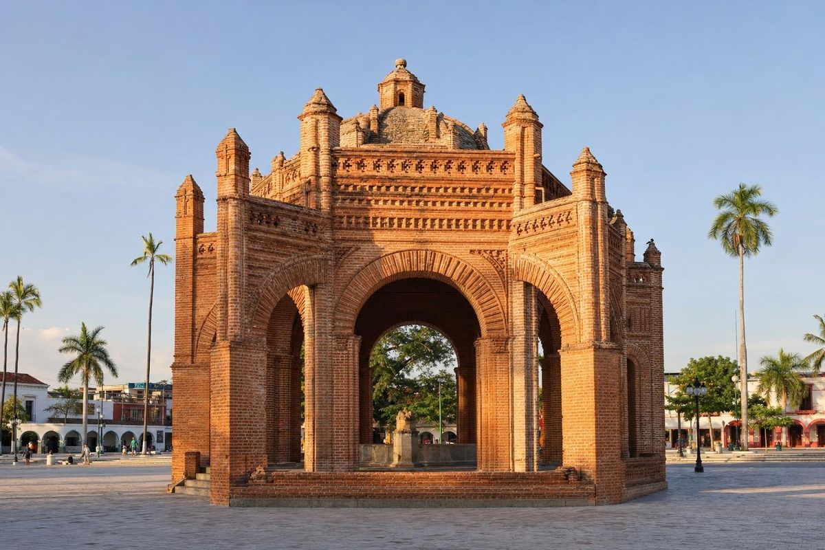
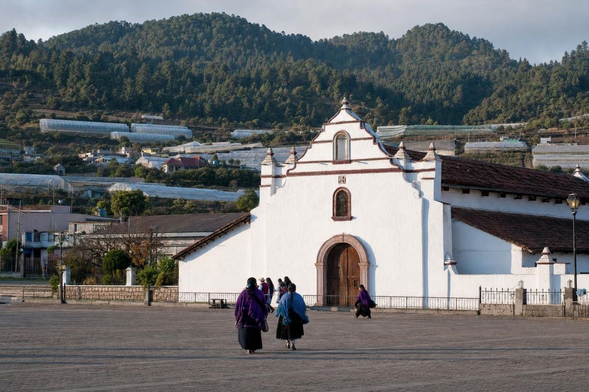
From San Cristóbal de las Casas, the drive down to Chiapa de Corzo takes roughly an hour, and many day tours combine the canyon with the town. Chiapa de Corzo deserves time of its own: a colonial fountain shaped like a crown stands on its main square, and an archaeological site on the edge of town is among the oldest in Chiapas. Tuxtla Gutiérrez has the nearest airport, with flights from Mexico City and other cities. Further afield, the canyon pairs with the highland villages around San Cristóbal, such as Zinacantán, and with the long route north to Palenque.
When to go
The dry season, roughly November to April, brings clear skies and the most reliable views from the rim. The rainy season, from about May or June to October, makes the waterfalls more impressive and the forest greener, but low cloud can hide the clifftops. Heavy rain also washes floating rubbish down the river into the canyon, a long-running problem that clean-up campaigns tackle each year.
Morning boat trips tend to have calmer water and better light on the walls, and the crocodiles are often easiest to see in the first warm hours, when they haul out onto the banks to bask. Midday on the river can be hot, as there is little shade in an open launch.
Practical notes
Life jackets are required on the boats. Bring a hat, sunscreen, water and a light layer, since spray and wind can be cool at speed. Binoculars help with the monkeys and birds. Boat fares, park fees and departure times change, so check them at the landing. Stay seated while the boat is moving, and keep hands inside near crocodiles.
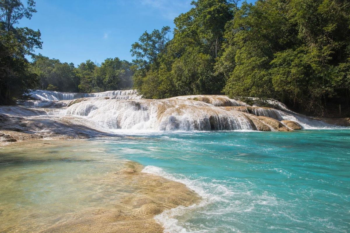
Other rivers and lakes of southern Mexico, including the waterfalls of Agua Azul, are listed on the lakes and rivers page.
Sumidero Canyon: practical questions
Where is Sumidero Canyon?
In the state of Chiapas, Mexico, just north of the capital Tuxtla Gutiérrez and a short drive from Chiapa de Corzo.
How long is the boat trip through the canyon?
About two hours there and back from Chiapa de Corzo to the Chicoasén dam, including stops at the main formations.
How deep is Sumidero Canyon?
The walls reach roughly 1,000 meters above the river at their highest points.
Can you see crocodiles in Sumidero Canyon?
Yes. American crocodiles are commonly seen on the banks during the boat trip, along with herons, cormorants and sometimes spider monkeys.
Is the canyon a day trip from San Cristóbal de las Casas?
Yes. Chiapa de Corzo is about an hour's drive from San Cristóbal, and many tours combine the boat ride with the town.
Is it better to see the canyon from a boat or from the rim?
Both show something different. The boat gives the scale of the walls and the wildlife; the rim viewpoints show the whole gorge from above. With time, do both.
Nearby on the map
AI-generated image Towns & Villages · Chiapas
Chiapa de Corzo
AI-generated image Towns & Villages · Chiapas
Zinacantán
AI-generated image People of Mexico · Chiapas
Tzotzil weaving
AI-generated image Lakes & Rivers · Chiapas
Agua Azul