
−5 m · Shallows · Towns & Villages · Yucatán
Oxkutzcab, Yucatán: the Orchard Market Town Below the Puuc Hills
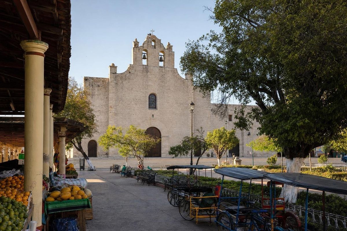
Oxkutzcab is a market town in southern Yucatán, roughly 100 kilometers south of Mérida, set in a belt of citrus and fruit orchards at the foot of the Puuc hills. It has a large Franciscan church, one of the busiest produce markets in the state, and an easy position for the Loltún caves and the eastern end of the Ruta Puuc, which makes it a practical base for a night or two.
The orchard of Yucatán
The name is usually explained as three Yucatec Maya words: ox, the ramón tree, kutz, tobacco, and kab, honey. All three were products of the area before the Spanish arrived, and the soil that supported them is still the town's living. The red earth at the foot of the hills is deeper than most of the thin, rocky ground of northern Yucatán, and irrigation from wells turned the area into a large fruit-growing district during the twentieth century. Oxkutzcab is often called the orchard of the state, and its oranges, mandarins, limes, mangoes, avocados and papayas are trucked across the peninsula.
The population is mostly Maya, and Yucatec Maya is spoken in the market and the streets alongside Spanish. Many families in the town and surrounding villages have relatives working in the United States, a pattern of migration common across this part of Yucatán, and money sent home has changed the look of some streets with new two-story houses.
A short history
When the Spanish arrived, Oxkutzcab lay within the territory governed from nearby Maní by the Xiu, the noble lineage that had shared power at Mayapán and later helped bring it down. The Xiu allied with the Spanish early, which spared the province some of the fighting of the conquest but tied it closely to the new colonial order. Franciscan friars followed, founding missions in Maní, Oxkutzcab and the surrounding towns.
In the nineteenth century, the south of Yucatán was hit hard by the Caste War, the long Maya uprising that began in 1847. Villages in the area were abandoned or fought over, and the nearby Loltún caves served as a refuge. The orchards that define Oxkutzcab today came much later, with the spread of irrigated fruit farming in the second half of the twentieth century.
What to see in town
The church of San Francisco de Asís
The town's center is its Franciscan church and former convent, a large stone building from the colonial period with a broad facade facing the main square. Inside, the main altarpiece is a tall gilded and painted retablo, one of the finer colonial pieces in this part of Yucatán. The building's scale reflects the importance of the Franciscan mission to the Maya population of the Puuc in the sixteenth and seventeenth centuries.
The market
Across from the church, the municipal market is the reason many travellers remember Oxkutzcab. In the early morning, growers from the surrounding villages arrive with crates of fruit and vegetables, and the stalls spill out onto the streets around the square. Prices are lower than in Mérida, and it is a good place to try fruit that rarely reaches the coast, such as mamey, saramuyo (sugar apple) or local varieties of mango in season. Food stalls in and around the market serve regional dishes from breakfast time.
Street life
Tricycle taxis, pedal-powered and now often motorized, carry people and shopping around town, and they are the easiest way to get around if walking in the heat is unappealing. Evenings on the main square are lively, with families out after the sun goes down.
Oxkutzcab as a base for the Puuc
The town's position is its practical advantage. The Loltún caves are about ten minutes away by car. The Ruta Puuc road to Labná, Xlapak and Sayil starts a short drive south, and Uxmal is within about an hour. Spending the night here instead of near Uxmal means waking up in a working Yucatecan town, with the market already in full swing at first light.
The neighboring town of Ticul, to the northwest, is known for pottery and shoemaking, and Maní, a short drive north, has a large Franciscan convent tied to one of the most painful episodes of the colonial period, the burning of Maya books and objects in 1562. The Puuc hills road trip combines these towns with the ruins.
Getting to Oxkutzcab
From Mérida, the drive takes about an hour and a half, heading south through Muna or Ticul. Second-class buses and colectivos run from Mérida; departure points and schedules change, so check in Mérida on the day. Within the region, colectivos link Oxkutzcab with Ticul and other towns, but reaching the ruins usually requires a taxi or a car.
When to visit
The town is pleasant year-round, but fruit seasons shape the market. Citrus is abundant over the cooler months, while mangoes peak in late spring. An orange fair is held in town each year, usually in the autumn, with music, food and agricultural displays; dates vary and are announced locally. April and May are the hottest months in the Puuc, and the rainy season from about June to October brings afternoon storms and greener hills. Hurricane season runs through the same months, though the town lies well inland.
Practical notes
Oxkutzcab has a few simple hotels, small restaurants, banks with ATMs and a pharmacy around the center. Cash is useful at market stalls and for tricycle taxis. For accommodation, details change often enough that it is better to check current options before arriving than to rely on older listings. Dress is conservative in the church, and photographing people at the market is best done with a nod and a question first.
For more towns and villages across the peninsula, see the towns and villages section.
Oxkutzcab: common questions
Where is Oxkutzcab?
In the south of the state of Yucatán, Mexico, at the foot of the Puuc hills, roughly 100 kilometers south of Mérida.
What does Oxkutzcab mean?
The name is usually explained as combining the Yucatec Maya words for the ramón tree, tobacco and honey.
Is Oxkutzcab a good base for the Ruta Puuc?
Yes. Loltún, Labná, Xlapak and Sayil are all within a short drive, and Uxmal is about an hour away.
What is Oxkutzcab known for?
Its fruit orchards and large produce market, its colonial Franciscan church and an annual orange fair.
How do you get from Mérida to Oxkutzcab?
By car in about an hour and a half, or by second-class bus or colectivo from Mérida. Check current departure points locally.
Nearby on the map
AI-generated image Jungles · Yucatán
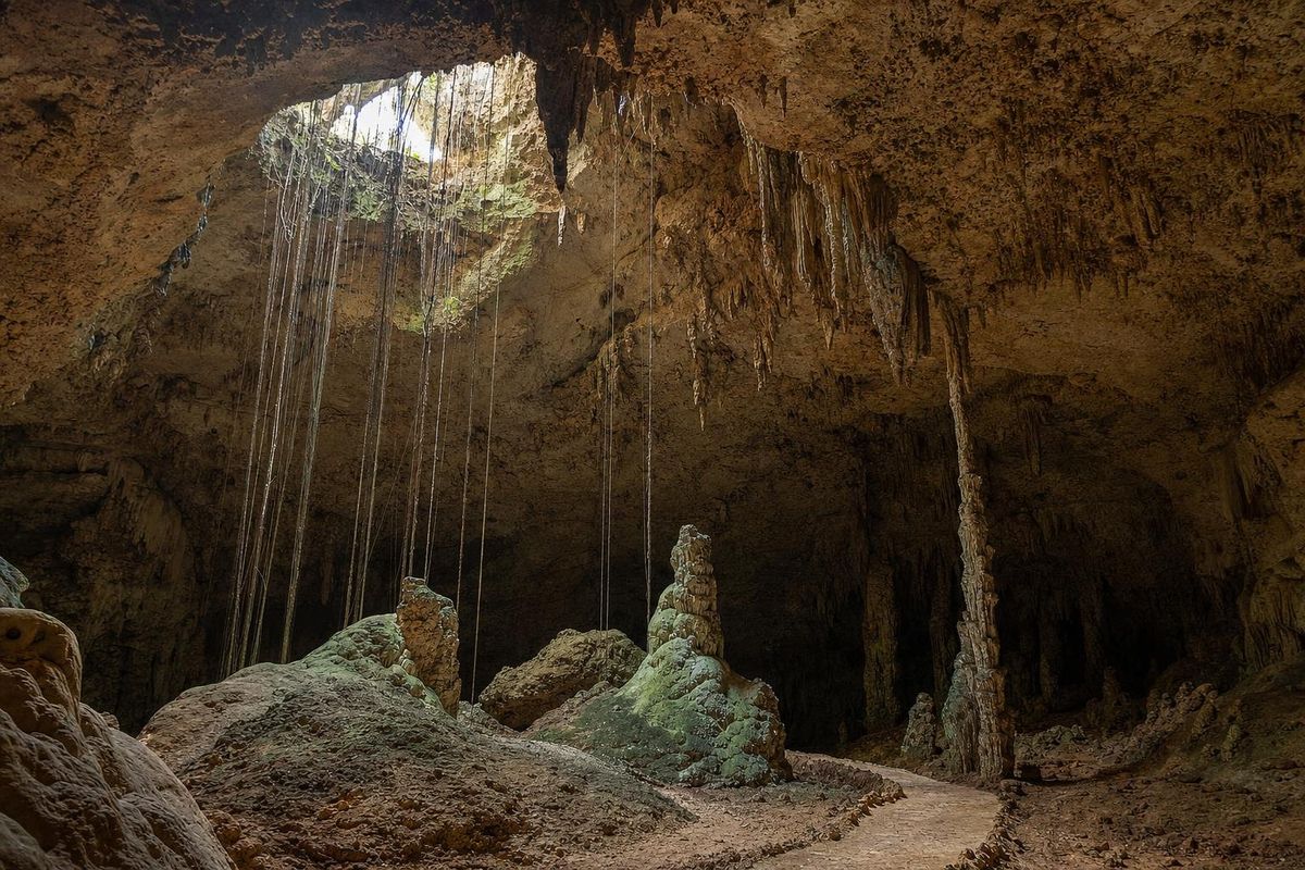
Loltún Caves
AI-generated image Maya Ruins · Yucatán
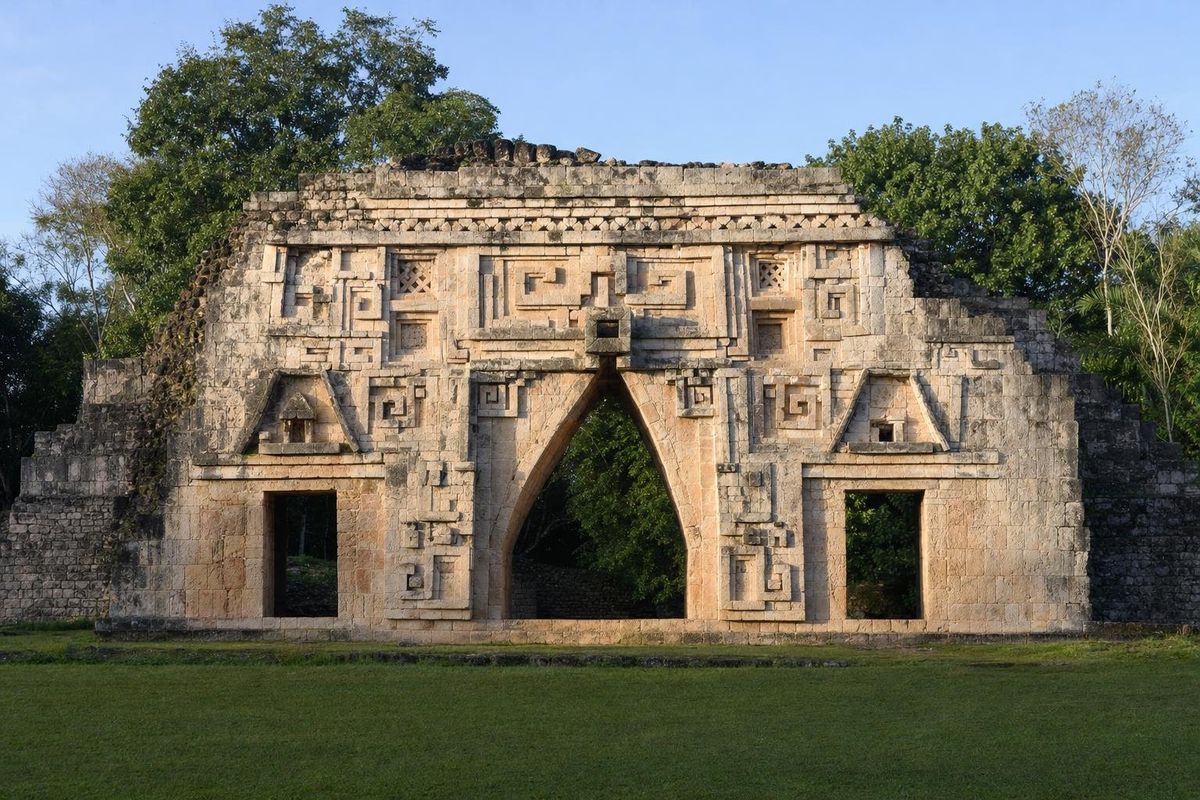
Labná
AI-generated image Trips · Yucatán
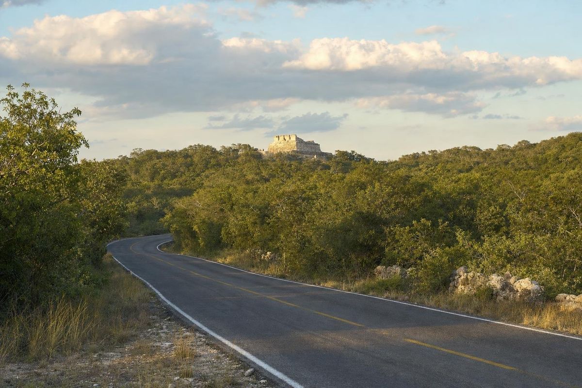
Puuc Hills
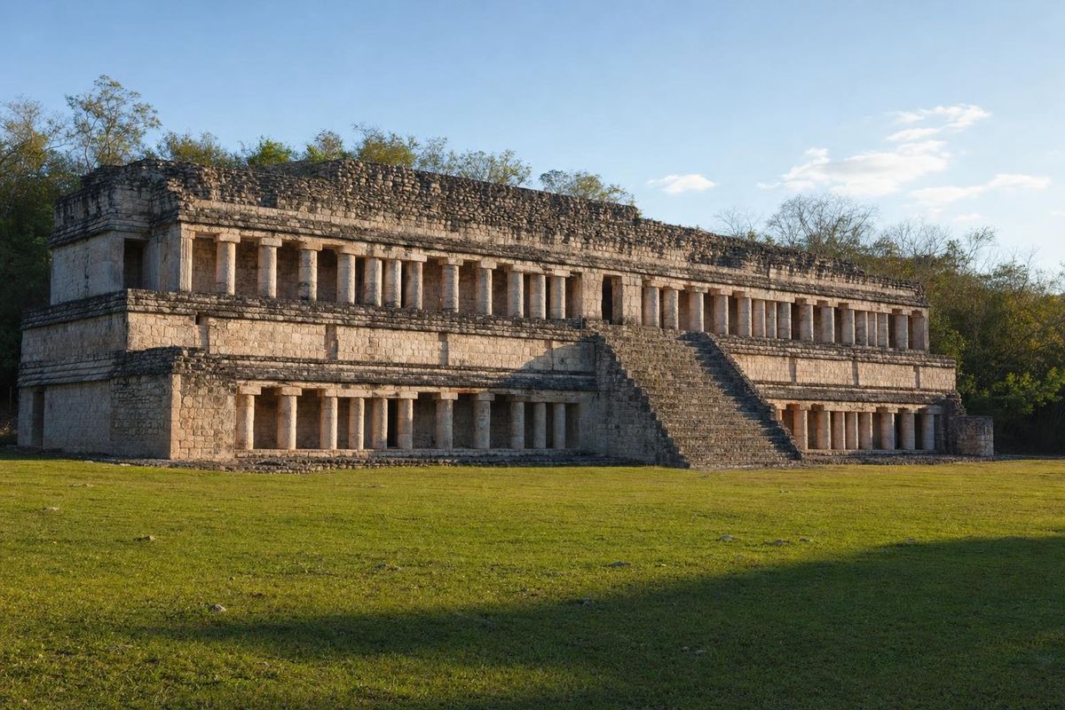
AI-generated image Maya Ruins · Yucatán
Sayil