
−20 m · Stone · Maya Ruins · Quintana Roo
Xcaret Ruins: P'olé, the Maya Port for the Crossing to Cozumel
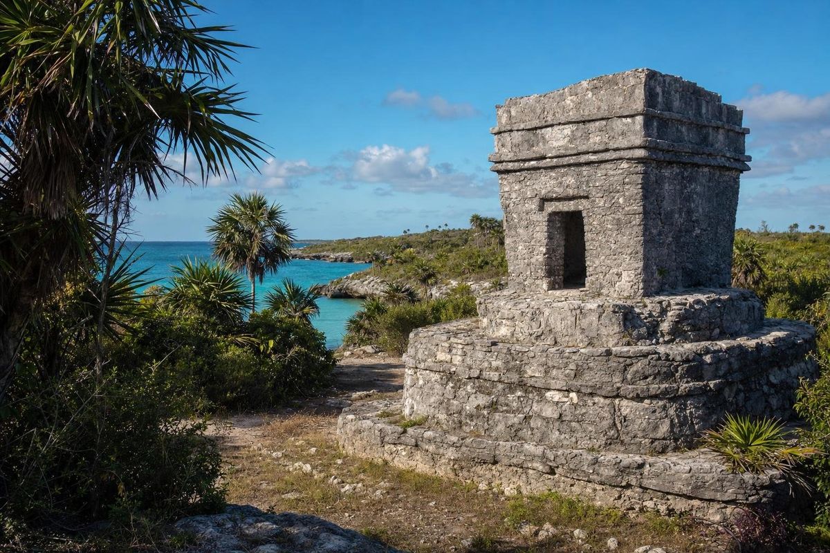
The Xcaret ruins are the remains of P'olé, a Maya port town on a rocky cove about 6 km south of Playa del Carmen in Quintana Roo. In the centuries before the Spanish conquest it was one of the main departure points for canoes crossing to the shrine of Ix Chel on Cozumel. Today the ancient buildings stand inside a large privately run theme park, so seeing them means entering the park.
P'olé, a port of merchants and pilgrims
The name Xcaret is modern, taken from a Maya word for a small cove or inlet. In colonial documents the place appears as P'olé, a name generally linked to the Maya root for trade and merchandise. It fits. The town sat on a sheltered inlet facing Cozumel, at the hinge of a sea route that ran around the peninsula from the Gulf coast to Honduras, and it handled salt, shell, dried fish, honey and cotton cloth going out and obsidian, jade and other goods coming in.
INAH research dates the first buildings to the Classic period, roughly 200 to 600, but most of the visible architecture belongs to the Late Postclassic, roughly 1200 to 1550, when the whole coast was busy with towns, shrines and watchtowers. Like Tulum, P'olé had a defensive wall on its landward side.
The town's other role was religious. Pilgrims, many of them women, traveled from across the Maya region to Cozumel to visit the shrine of Ix Chel, goddess of the moon, childbirth, weaving and medicine. P'olé, like Xaman Há a little to the north, was where they gathered, made offerings and waited for calm water before crossing the channel. Pottery and stone objects from distant regions found at the site reflect that traffic.
Spanish expeditions reached this coast between 1518 and the 1520s, and Francisco de Montejo passed through P'olé during his first campaign. Disease and conquest emptied the coast, and in later centuries it suffered raids by pirates. Scholars from Mexico and the United States recorded the ruins in the twentieth century.
The Xcaret ruins: what to look for
The archaeological remains are spread along the shore in several groups, labelled by archaeologists with letters. Only some of them lie within the parts of the park open to visitors.
Group A
The most substantial group stands near the cove. Its main structure is a stepped platform with the remains of two small temples on top. Decoration survives in the upper bands of the walls, including a lattice pattern of crossed stones that recalls buildings at Chichén Itzá and Uxmal. Many scholars associate that pattern with woven mats, a symbol of authority and council.
Groups B to E
The other groups are mostly platforms and the lower walls of small buildings, some with rounded corners typical of the East Coast style. Group B seems to have been residential, with narrow rooms and passages. Burials were found under several buildings, a common Maya practice.
Style
The architecture matches that of Tulum, Muyil and the shrines on Cozumel: rough masonry covered in thick plaster, small doorways, recessed lintels, and walls that were once painted inside and out. The modern buildings and landscaping of the park surround the ruins closely, which makes it hard to picture the town as it was.
Caves, cenotes and the underworld
Xcaret sits on porous limestone riddled with caves and underground streams, as is the whole peninsula. For the Maya, caves and cenotes were entrances to Xibalbá, the underworld, and places for offerings and rituals. The park has opened and joined some of the original underground streams into channels that visitors can swim through, so what you see is a heavily altered version of the natural cave system. The geology itself is the same as at the cenotes covered in the page on cenotes of Yucatán.
The theme park and access
Xcaret today is a large commercial eco park and entertainment complex, opened in 1990, with swimming areas, animal exhibits, shows and restaurants. The ruins are inside it and cannot be visited separately. It is a built environment rather than a natural one: lagoons, streams and planting have been reshaped around the ruins. The annual re-enactment of the Maya canoe crossing to Cozumel, held each May, sets out from here.
Anyone mainly interested in the archaeology may find that sites such as Tulum, Muyil or the shrines of Cozumel give a clearer sense of a Postclassic coastal town, without the setting of a theme park. Prices, hours and ticket conditions for Xcaret change often and should be checked directly before visiting.
Xcaret weather and when to go
The coast south of Playa del Carmen has a warm, humid climate all year, with daytime temperatures usually around 28 to 33 °C and sea temperatures that stay warm. December to April is the dry season, with lower humidity and more comfortable afternoons. May and June are hot. The wet season, roughly June to October, brings short, heavy afternoon storms rather than all-day rain.
Hurricane season in the Atlantic runs from June to November, with the highest risk usually from August to October. Sargassum seaweed can affect the beaches of this coast, mostly from spring to early autumn. For the ruins, morning visits are best: the stones have little shade, and the light is softer before midday.
Practical notes
- Xcaret is about 10 minutes by car south of Playa del Carmen on Highway 307.
- Use only biodegradable, mineral-based sunscreen in the water, or none at all; rules on sunscreen are strict at sites with cenotes and underground rivers.
- Do not climb on the ancient structures.
- For the Maya history of the area without the park, combine Xaman Há in Playa del Carmen with a ferry trip to San Gervasio on Cozumel.
For other sites along the coast and beyond, see the Maya ruins section. In Group A, look at the top band of the left-hand temple: the crossed-stone lattice is still clear enough to count the diamonds.
Xcaret ruins questions
Are there real Maya ruins at Xcaret?
Yes. Xcaret was the ancient port town of P'olé, and several groups of original Postclassic buildings survive within the park grounds.
Can you see the Xcaret ruins without entering the park?
No. The ruins stand inside the privately run park, so a park ticket is needed to see them.
What was the ancient name of Xcaret?
P'olé. It was a Maya trading port and a departure point for pilgrims crossing to the shrine of Ix Chel on Cozumel.
What is the weather like at Xcaret?
Warm and humid all year. December to April is drier and more comfortable, the wet season brings afternoon storms from about June to October, and hurricane season runs from June to November.
Is it Xcaret or Excaret?
The correct spelling is Xcaret, pronounced roughly "ish-ka-ret". Excaret and X Caret are common misspellings of the same place.
Nearby on the map
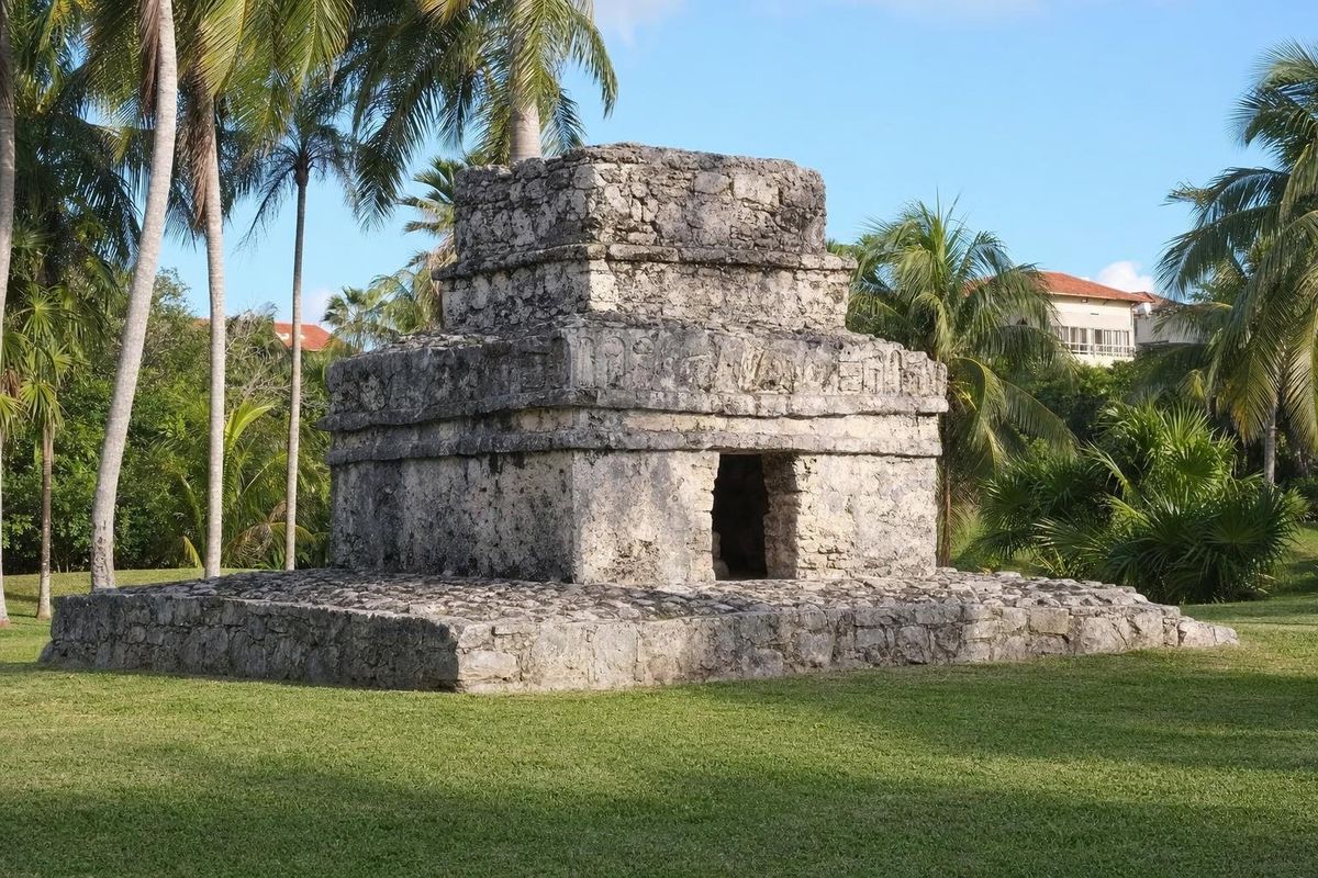
AI-generated image Maya Ruins · Quintana Roo
Xaman Há
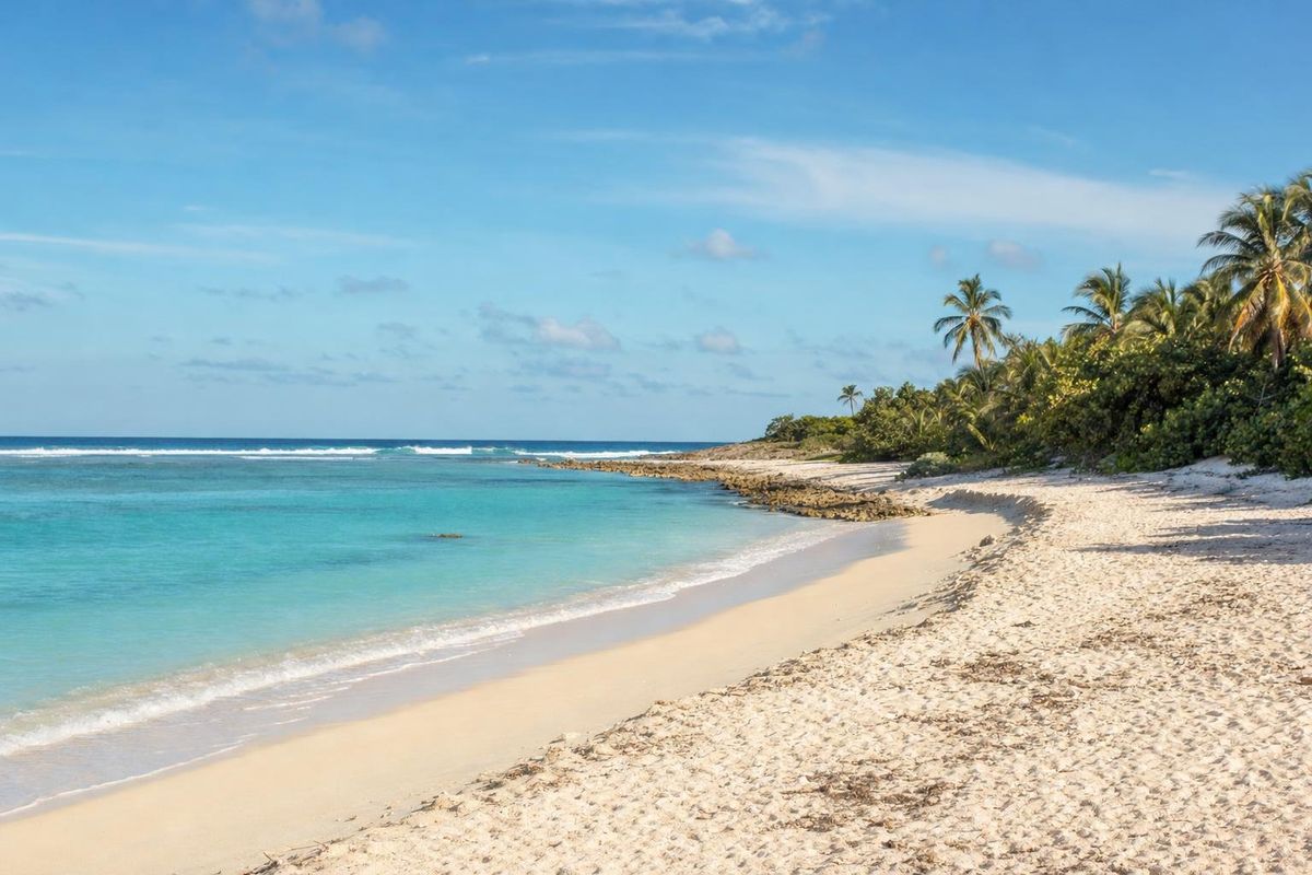
AI-generated image Beaches · Quintana Roo
Punta Venado
AI-generated image Museums · Quintana Roo
Frida Kahlo Museum
AI-generated image Beaches · Quintana Roo
Punta Esmeralda