
−20 m · Stone · Maya Ruins · Quintana Roo
Oxtankah: Classic Maya Plazas and a Spanish Chapel on Chetumal Bay
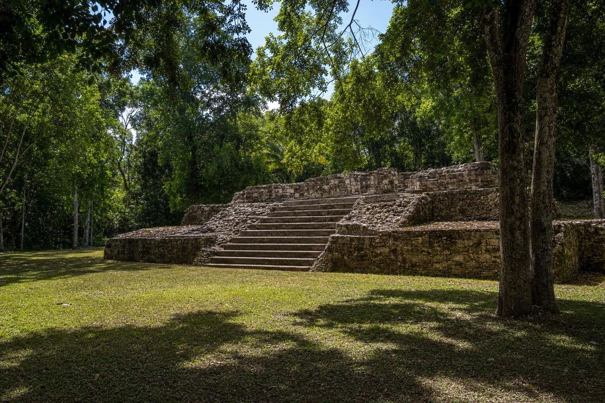
Oxtankah is a Maya archaeological site on the western shore of Chetumal Bay, a few kilometers north of the waterfront village of Calderitas and about 15 km from the city of Chetumal. Its main period was the Early Classic, roughly AD 200 to 600, and its restored plazas and pyramids sit in shaded forest close to the sea. Beside them stand the walls of a small Spanish chapel from the sixteenth century, which gives Oxtankah a history that runs from the Maya city to the first years of the conquest.
What Oxtankah was
Oxtankah was one of several Maya communities around Chetumal Bay, a sheltered body of water at the mouth of the Río Hondo, which today forms the border between Mexico and Belize. The bay gave access to the coastal canoe routes of the Caribbean and to the river trade reaching inland, and settlements around it lived from fishing, salt, farming and exchange.
The bay is still a quiet, shallow body of brackish water, protected today as a sanctuary for the West Indian manatee. From the coast road near the site, its surface is often flat and milky green, and the low mangrove shoreline across the water looks much as it would have to anyone arriving by canoe.
Excavations have shown that the site was occupied for a long time, but its main buildings belong to the Early Classic, when it was a regional center with formal plazas and temple platforms. It seems to have declined afterward, as did many places in the region, though people continued to live in the area and visit it into the Postclassic period.
The ruins were recorded in the 1930s by the Mexican archaeologist Alberto Escalona Ramos, and systematic excavation and restoration by INAH, Mexico's national institute of anthropology and history, began in the 1990s. The site's name is usually explained as a reference to ramón trees (breadnut), which are common in the forest here, though the exact meaning is debated.
The Spanish chapel and the Gonzalo Guerrero story
The most unusual structure at Oxtankah is not Maya. Near the plazas stand the stone walls of a small Christian chapel, built by the Spanish in the sixteenth century from materials that probably included stone from older Maya buildings. It is generally linked to early, short-lived attempts at settlement on Chetumal Bay in the decades after the first Spanish expeditions reached the coast.
Local tradition connects the area with Gonzalo Guerrero, a Spanish sailor shipwrecked off the Yucatán coast in 1511 who lived among the Maya of Chetumal, married into the local elite and, according to Spanish chroniclers, refused to rejoin his countrymen. His children are often described in Mexico as the first mestizos. There is no archaeological evidence tying Guerrero to Oxtankah itself, and the story should be read as part of the regional identity of southern Quintana Roo rather than as a fact about the site. It is still why his name comes up in nearby Chetumal and Calderitas.
What to see at the site
Oxtankah is compact, and a walk around its main groups takes about an hour. Paths run through the forest between cleared plazas.
Plaza de las Abejas
The Plaza of the Bees is the main ceremonial space, framed by restored platforms and stairways. Look at the stepped corners and the layering of the platforms, which show several building phases one on top of another, a common pattern in Maya architecture where each new structure encased the older one.
The main pyramid
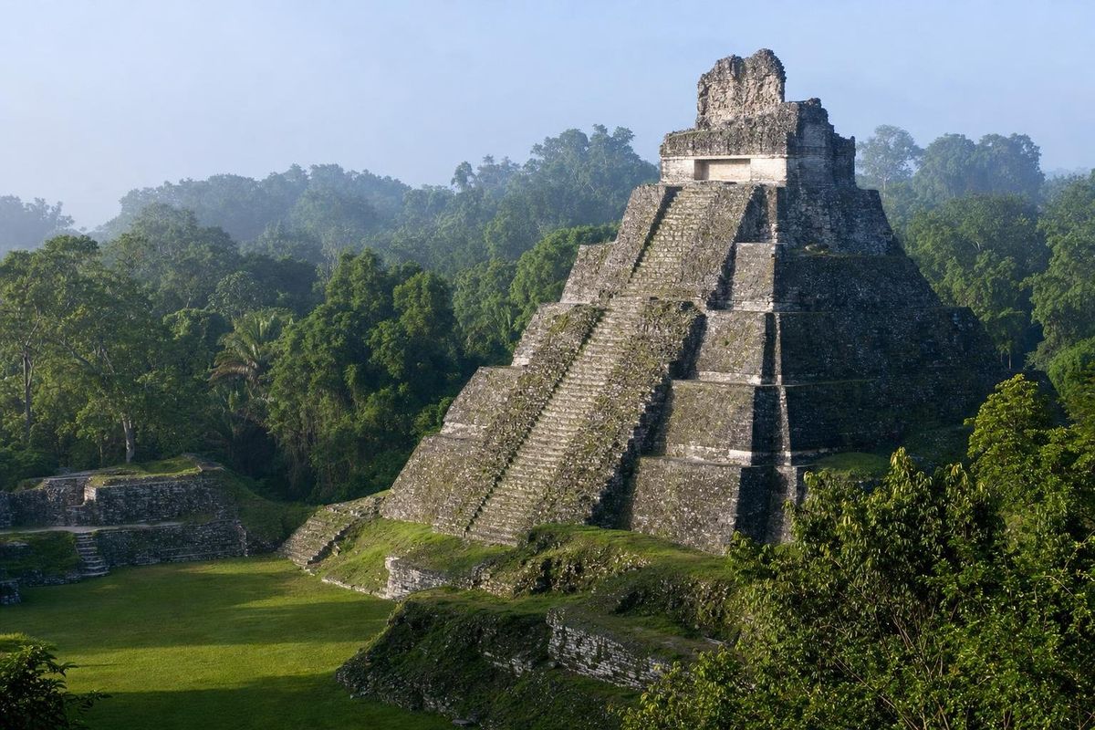
The tallest building on the site is a stepped temple platform that rises above the trees around the plaza. Its staircase faces the plaza, and its proportions, broad and fairly low, are typical of Early Classic construction in this part of the Maya world.
Plaza de las Columnas
The Plaza of the Columns takes its name from the remains of column bases in a structure on one side, which once supported a roof over a long hall. Spaces like this are generally interpreted as administrative or residential buildings for the elite.
The chapel
The chapel's walls stand roofless, with an apse at one end and openings that framed the altar and doors. It is the clearest physical reminder on this coast of how quickly the Spanish presence followed the Maya one.
A small site museum or interpretive area has at times displayed objects from the excavations, including pottery and burial offerings. Whether it is open varies, so ask at the entrance.
Getting to Oxtankah
From Chetumal, follow the bayfront road north to Calderitas, then continue north along the coast road; the turnoff to the site is a few kilometers beyond the village. The drive takes around 20 to 30 minutes from the city center. There is no regular public transport to the entrance, so a car, a taxi from Chetumal or a bicycle from Calderitas is the practical way to go.
From Bacalar, the site is about 45 minutes away by car, and it fits easily into a day that also includes lunch on the water in Calderitas. Visitors heading west toward the larger sites of Kohunlich and Dzibanché can see Oxtankah on the way out of Chetumal in the morning.
Practical notes
Oxtankah is in humid lowland forest a short distance from the bay, and mosquitoes can be heavy, especially after rain and in the late afternoon. Repellent, long sleeves and closed shoes help. The paths are mostly flat and easy.
The site sees few visitors compared with the ruins of the northern coast, and it is common to have the plazas almost to yourself. Bring water, since there are few or no services on site. Opening hours and entrance fees are set by INAH and change, so check them before going; information on federal sites is published by INAH.
Birdlife is good around the edges of the clearing. Motmots, woodpeckers and parrots are regularly heard in the canopy, and the forest is noticeably cooler than the open road outside.
For other Maya cities of the region, see the Maya ruins section. At Oxtankah itself, before leaving, look closely at the lower courses of the chapel walls: the blocks there are irregular in size and finish, and some appear to have been dressed for a different building long before the Spanish reused them.
Oxtankah FAQ
Where is Oxtankah?
Oxtankah is on the western shore of Chetumal Bay in southern Quintana Roo, a few kilometers north of Calderitas and roughly 15 km from Chetumal.
How old is Oxtankah?
Its main buildings date to the Early Classic period, roughly AD 200 to 600, though the area was occupied before and after that.
Why is there a Spanish chapel at a Maya site?
The Spanish built a small chapel there in the sixteenth century, during early attempts to settle around Chetumal Bay, probably reusing stone from the older Maya buildings.
Is Oxtankah connected with Gonzalo Guerrero?
Local tradition links the area with the shipwrecked Spaniard who lived among the Maya of Chetumal, but no archaeological evidence ties him to the site itself.
How long does a visit take?
About an hour is enough to walk the main plazas, the pyramid and the chapel at an easy pace.
Nearby on the map
AI-generated image Towns & Villages · Quintana Roo
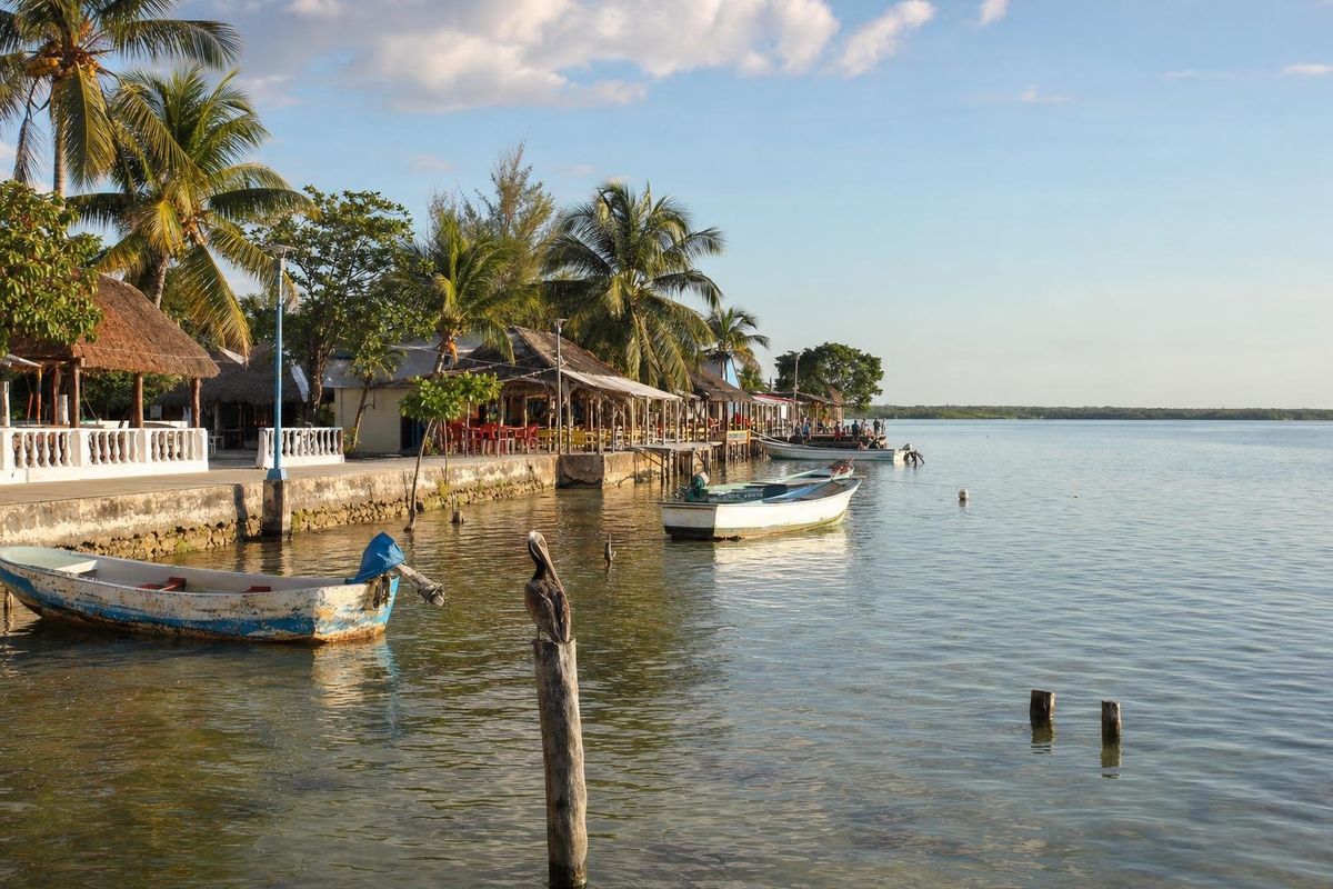
Calderitas
AI-generated image Lakes & Rivers · Quintana Roo
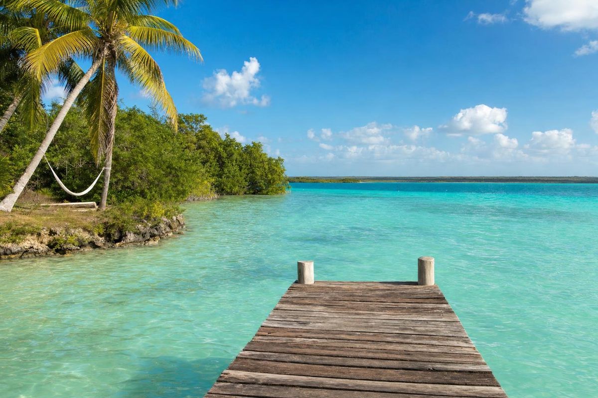
Bacalar
AI-generated image Maya Ruins · Quintana Roo
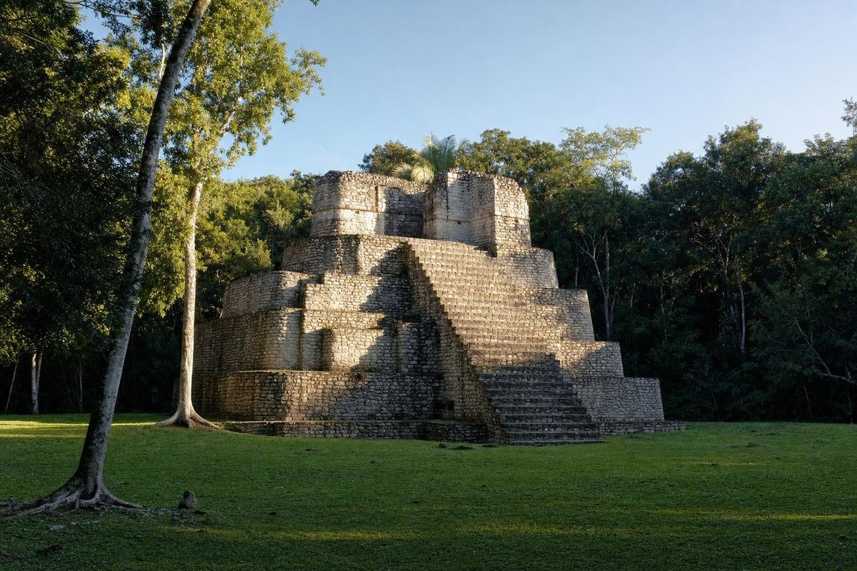
Chacchoben
AI-generated image Maya Ruins · Quintana Roo
Dzibanché