
−5 m · Shallows · Beaches · Quintana Roo
Mahahual Beach on the Costa Maya: Things to Do and When to Go
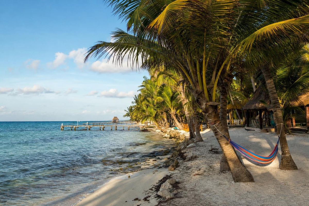
Mahahual is a small fishing village on the Caribbean shore of southern Quintana Roo, not far north of the Belize border, where the Mesoamerican Reef runs so close to land that you can snorkel it straight off the beach. Most visitors know the name Mahahual Mexico from a cruise itinerary, because the purpose-built port of Costa Maya sits just north of the village; walk ten minutes south of the pier and the place turns back into a sandy main street, a seafront promenade and a row of palapas. Offshore lies Banco Chinchorro, the largest coral atoll formation in Mexican waters.
Mahahual and the Costa Maya in context
Quintana Roo, Mexico's only state on the Caribbean, is divided for tourism purposes into broad zones. The Riviera Maya runs from Cancún down to Tulum. Below it lies the Sian Ka'an Biosphere Reserve and the interior Zona Maya, and the southern third of the coast, from roughly the bottom of Sian Ka'an to the mouth of Chetumal Bay, is marketed as the Costa Maya. It takes in Mahahual, the even smaller village of Xcalak, the lagoon town of Bacalar and the state capital, Chetumal.
The Costa Maya is thinly built. There is one paved road to the coast, a scatter of small hotels and rental houses along the shore, long stretches of mangrove and coconut plantation, and very little high-rise development of the kind that lines Cancún's hotel zone. Mahahual is the only place on this coast that feels like a town, and even that is a generous word for a grid of a few sandy streets.
The name is also written Majahual, and both spellings appear on road signs, maps and bus tickets.
The Mahahual Mexico travelers picture from photos is the stretch in front of the village: palms leaning over pale sand, a boardwalk behind them, and a white seam of surf a few hundred meters out where the swell breaks on the reef crest. That seam matters. It is the reason the water inside it is calm enough for children and casual swimmers on most days, and the reason this part of the coast was a fishing camp long before it was anything else.
From fishing camp to cruise port
For most of the twentieth century Mahahual was a handful of fishing families, a few coconut plantations and a small naval presence watching a remote coast. Fishermen worked the reef for lobster, conch and snapper and sold the catch inland. Access was by sea or along sand tracks, and the shore north toward Sian Ka'an was even emptier.
That changed when the cruise pier opened just north of the village in the early 2000s. Costa Maya was built specifically as a cruise destination, with a terminal complex styled loosely on Maya architecture, shops and pools, and it quickly became one of the busiest cruise ports in Mexico, usually ranked behind Cozumel. A paved road, power lines and a steady flow of day visitors followed.
Then, in August 2007, Hurricane Dean made landfall almost directly on Mahahual as a Category 5 storm. It flattened much of the village, wrecked the pier and stripped the palms. The rebuilding brought the present malecón, the seafront promenade of concrete and timber that now runs the length of the village, and a more planned layout than the old camp ever had.
The village still has a split personality, and anyone planning a stay should know it. On days when ships are in port, the northern end near the pier fills with tour groups, beach clubs play music and touts work the promenade. On days without ships, or after the last passengers have returned on board in the afternoon, Mahahual drops back to a fishing village with a few dozen guesthouses. South of the village, past a small bridge over a creek, the road continues as a quieter line of cabins and rental houses facing the sea, and beyond that the shore runs largely empty toward Xcalak.
Mahahual beach: reef, sand and seaweed
Mahahual beach is not one beach but several kilometers of shore that change character as you walk. In front of the village the sand is groomed, with palapas, loungers and beach bars set out along the malecón. Mexican law treats the first strip of land along the sea as federal zone, so the shoreline itself is public; beach clubs can charge for chairs and shade, and many waive the charge if you order food or drinks, but nobody can charge you simply for standing on the sand.
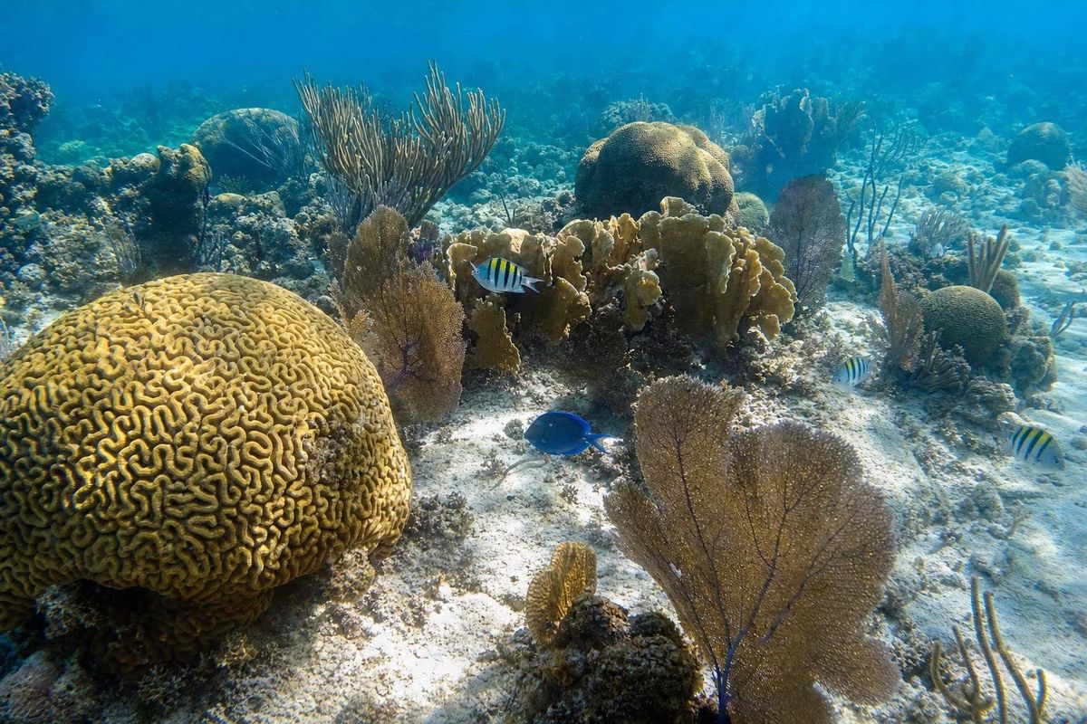
The water is the draw. The reef crest sits a few hundred meters offshore along much of this stretch, and in places much closer, so the lagoon behind it is shallow, sheltered and usually clear, with turtle grass and sand patches on the bottom. Waves are small inside the reef unless a strong easterly is blowing. Outside it, the sea floor drops away in a series of coral ridges and channels toward deep water, which is why the diving is good so close to town.
Not every part of the Mahahual beach is soft. Some sections have limestone shelves at the waterline or patches of seagrass that wash up as a dark band, and a few spots are better for walking than lying on. Water shoes help.
The main caveat is sargassum. Since around 2011, and on a large scale since 2015, floating mats of this brown seaweed have drifted into the western Caribbean in many years, and the far south of Quintana Roo has been among the hardest-hit stretches of the Mexican coast. In a heavy season the seaweed can pile up along the tide line, turn the near-shore water brown and smell of sulfur as it rots. Crews rake the beach in front of the village, and some stretches fare better than others depending on how the shore faces the current, but no part of the coast is immune. Arrivals vary from year to year and even week to week, so the only reliable guide is a recent report.
When the seaweed is absent, the beach in front of the village is among the clearest swimming water on the whole Mexican Caribbean, partly because there is so little development upstream.
Things to do in Mahahual and on the reef
The list of things to do here is mostly about water, with a few inland excursions for days when the wind is up. None of it requires much planning beyond checking the weather and, for boat trips, the operator's permits.
Snorkeling from the shore
The simplest outing is also the best. From several points along the malecón you can swim out over sand and turtle grass to coral heads in water a couple of meters deep, and on calm days the reef itself is within reach for confident swimmers. Expect parrotfish, sergeant majors, blue tang, angelfish, small barracuda and, with luck, a stingray in the sand. Boat traffic is the real hazard, since fishing boats and tour boats cross the lagoon, so stay close to marked swimming areas or swim with a bright buoy. Several operators run short boat trips to the reef crest, which is safer than swimming out through channels used by boats.
Diving the wall and canyons
Beyond the crest the reef forms a classic spur-and-groove system: fingers of coral separated by sandy channels that run down the slope toward a drop-off. Dives here are usually short boat rides from the village, and the reef is noticeably less visited than the famous sites around Cozumel or Playa del Carmen. Divers see sea fans, barrel sponges, large groupers in some years, nurse sharks resting under ledges and turtles feeding along the reef. Visibility is often excellent outside sargassum season. Local dive shops change hands often, so check current reviews and certifications rather than relying on old recommendations.
Banco Chinchorro
About 30 km offshore lies Banco Chinchorro, a reef complex roughly 45 km long that forms the largest atoll-like coral structure in Mexico. It is not a true volcanic atoll; the reef grew on a submerged limestone platform separated from the mainland by deep water. Only a few patches break the surface, chiefly the cays known as Cayo Norte, Cayo Centro and Cayo Lobos, where mangroves, fishermen's stilt houses and a population of American crocodiles share very little dry land.
The whole bank has been protected as a biosphere reserve since 1996, and it is part of UNESCO's network of biosphere reserves. It is known for dense coral, large schools of fish, queen conch beds and the many ships that ran aground on the reef over the centuries, which have earned it a reputation as a ship graveyard. Trips depend heavily on sea conditions, since the crossing is open water, and access is regulated by the reserve authority: only authorized operators can take visitors, and some zones are closed entirely. A Chinchorro day is a long one, and it is worth booking only once the forecast has settled.
Kayaks, paddleboards and kites
The sheltered lagoon suits sit-on-top kayaks and paddleboards, which are rented along the malecón and from some guesthouses. Early mornings are calmest. In winter and spring the trade winds pick up, and kitesurfers use the open stretches south of the village where there are fewer swimmers and boats.
Fishing the reef and the flats
Fishing is still the village's oldest trade. Local boats take visitors trolling outside the reef, and the shallow flats further south toward Xcalak are known among fly fishers for bonefish, permit and tarpon. Catch-and-release is the norm on the flats. Lobster and conch have closed seasons in Mexico, so what turns up on restaurant menus depends on the month.
Birds, mangroves and nesting turtles
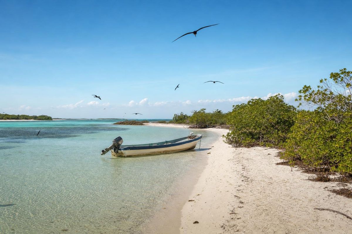
Mangrove creeks and lagoons lie just behind the beach for most of this coast. Magnificent frigatebirds hang over the shoreline, brown pelicans fish the lagoon, and herons, egrets and kingfishers work the mangrove edges. In the warmer months sea turtles come ashore to nest on quieter beaches along the Costa Maya; nests are often marked and protected, and lights on the beach at night disorient hatchlings, which is why some guesthouses keep their beachfront dark.
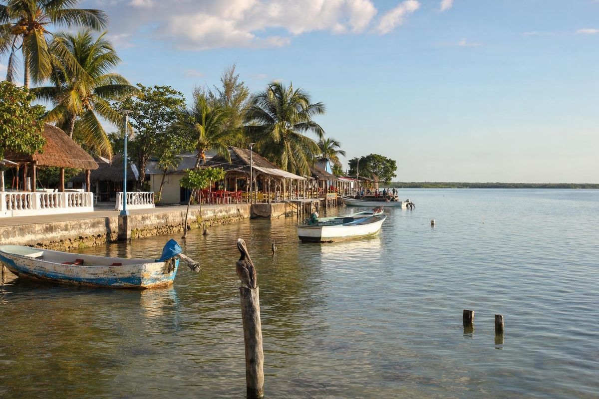
Back on land, one of the gentler things to do is simply walk the malecón from one end to the other in the late afternoon, when fishing boats come in and the light goes low across the lagoon. The lighthouse at the village entrance, rebuilt after Hurricane Dean, is the landmark everyone uses for directions.
Day trips from the Costa Maya coast
Mahahual makes a sensible base for the far south. Three trips stand out, and each fills a day comfortably. Distances below are rough road figures and travel times assume a private car in normal conditions.
| Destination | Rough distance from Mahahual | Approximate travel time | Why go |
|---|---|---|---|
| Xcalak | about 60 km south | about 1 hour | Fishing village, reef national park, fly-fishing flats |
| Chacchoben ruins | about 70 km inland | about 1 hour | Maya temples in forest, the nearest major site |
| Bacalar | about 110 km | about 1.5 hours | Lagoon of seven colors, stromatolites, Spanish fort |
| Chetumal and Calderitas | about 140 km | about 2 hours | State capital, Maya museum, bayside fishing village |
| Kohunlich and Dzibanché | about 200 km | about 3 hours | Stucco masks and Early Classic temples |
| Banco Chinchorro | about 30 km offshore | long boat crossing | Atoll reef, wrecks, crocodile cay (weather permitting) |
Xcalak and its reef park
Xcalak sits near the tip of the peninsula that separates the Caribbean from Chetumal Bay, close to the channel that marks the border with Belize. It is smaller and slower than Mahahual, with a few streets, a pier, some wooden houses and a handful of guesthouses spread along the shore. The reefs in front of it are protected as Arrecifes de Xcalak National Park, and the shallow flats and lagoons behind the village are among the better-known fly-fishing grounds in Mexico. A paved road runs inland of the coast; the old coastal track is sand and potholes and much slower.
Chacchoben
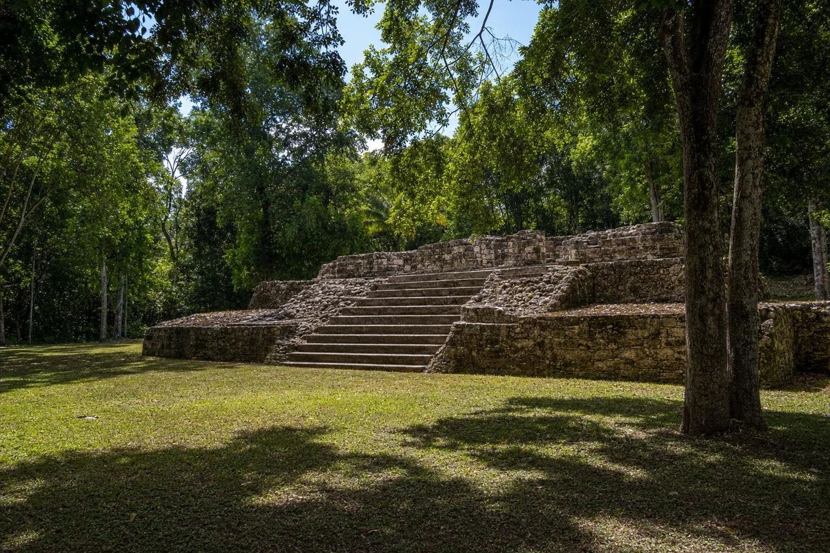
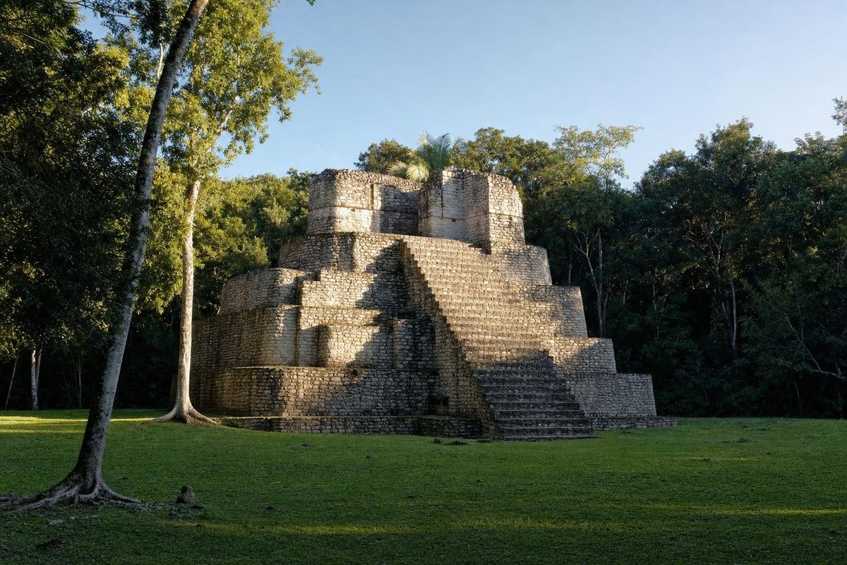
Chacchoben is the closest major Maya site and the one most cruise excursions visit. Its main structures are grouped on raised platforms in forest, with a large temple pyramid on the main plaza; archaeologists date most of the monumental building to the Early Classic period, roughly the third to seventh centuries AD, with occupation going back much earlier. Arrive early or on a day without ships if you want the paths to yourself. It pairs well with Bacalar on the same day.
Bacalar
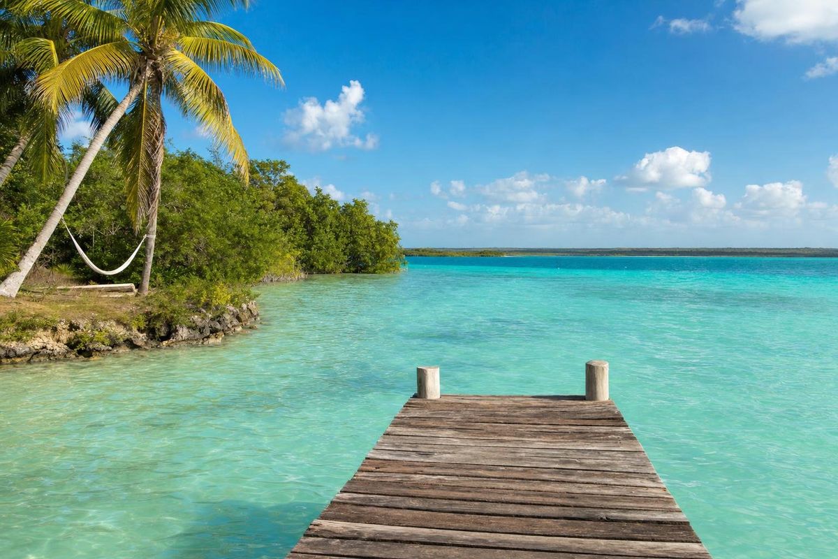
The long freshwater lagoon at Bacalar is famous for its bands of blue and turquoise water over white marl, and for the living stromatolites along parts of its shore, which are easily damaged and must not be stood on. The town has an eighteenth-century Spanish fort built against pirates. Bacalar also makes the obvious overnight stop for anyone driving south from Tulum to Mahahual, and the Tren Maya now stops there, as well as at Chetumal.
Further south, the bayside village of Calderitas outside Chetumal and the stucco masks of Kohunlich make a longer loop, best combined with a night in Chetumal rather than squeezed into a day from the coast.
Cruise days and quiet days in Mahahual
The cruise pier shapes daily life more than any other factor, and a little timing avoids most of its effects. Ships usually arrive in the morning and leave in the afternoon; their passengers either stay inside the port complex, take organized tours inland, or come into the village by taxi or along the beach path. The busiest stretch is the northern end of the malecón, between the pier and the first streets of the village.
On ship days, go south: most things to do on the reef are better done away from the pier anyway. Beyond the bridge the beach thins out quickly, and a few kilometers on it is often empty. Snorkel early, before the tour boats start, and come back to the village in the late afternoon when the promenade empties and restaurants switch from day visitors to evening customers. The number of ships in port varies by season and by day of the week, and cruise schedules are published by the lines and by port trackers well in advance, so it is easy to check before choosing which days to spend on the reef.
If you arrive by ship yourself, the village is a short taxi ride or a walk along the shore from the terminal. The beaches are public, and a few hours on the malecón give a fair idea of the place, though the reef in front of the village is the real reason to come, so bring a mask.
Getting to Mahahual
Mahahual lies at the end of a single paved road that leaves Highway 307 at a junction near the village of Limones and Cafetal, south of Felipe Carrillo Puerto. From the junction it is roughly 55 to 60 km east through forest and wetlands to the coast, where the road meets the lighthouse and turns into the village. The drive is straightforward by day; at night watch for animals, cyclists and unlit topes (speed bumps), which are everywhere in Mexican villages.
By road, Cancún is roughly 350 km north and Tulum about 220 km; in a car, count on four to five hours from Cancún and about three from Tulum. Chetumal, the state capital with its own airport, is about 140 km away, roughly two hours. The newer international airport near Tulum shortens the trip considerably compared with flying into Cancún.
Without a car, long-distance buses run to Mahahual from Cancún, Playa del Carmen, Tulum and Chetumal, and shared vans connect with Bacalar and Chetumal. Services change often, especially outside the high season, so check current schedules at the bus station rather than relying on any published list. Taxis in the village are easy to find around the entrance and the malecón.
Fuel is limited near the coast. Fill up on Highway 307 or on the access road before you reach the village, and carry enough to reach Xcalak and back if you plan to explore south.
When to go to Mahahual
The dry season, roughly from December to April, brings the most reliable weather: sunny days, low humidity by local standards and fewer mosquitoes. It is also the busiest cruise season, so the pier end of the village is at its most crowded then. Winter cold fronts, known locally as nortes, occasionally bring a few days of cloud, wind and choppy water.
From May the heat builds and the rains begin, usually as short afternoon storms rather than whole wet days. This is also when sargassum has tended to arrive in larger quantities, often peaking somewhere between late spring and late summer, though some years have been light and others heavy into the autumn. Quintana Roo publishes a color-coded sargassum report during the season, and recent photos of the Mahahual beach in front of the village are the best check before you book.
The Atlantic hurricane season runs from June to November, with the highest risk from August to October. Most weeks pass without any storm at all, but Dean showed what a direct hit can do here. If you travel in late summer or early autumn, choose flexible bookings and follow the forecasts.
For snorkeling and diving, the calmest seas tend to come in late spring and early summer before the main storm season, while visibility on the outer reef is often good from spring into autumn when the seaweed is light. Turtle nesting runs through the warmer months, and whale sharks are a northern-coast attraction rather than a Costa Maya one.
Practical notes for the Costa Maya
- Cash: ATMs are few, sometimes empty and occasionally out of order. Bring enough pesos for a few days and treat cards as a backup, especially at small guesthouses and fish restaurants.
- Sun protection: use a reef-safe or mineral sunscreen, or better, cover up with a rash guard. Chemical sunscreen harms coral, and in the shallow lagoon the effect concentrates.
- The reef: do not stand on coral, touch it or feed the fish. If you get tired while snorkeling, float on your back over sand rather than resting on a coral head.
- Insects: sand flies and mosquitoes come out at dusk, especially near mangroves and after rain. Repellent and long sleeves in the evening help.
- Water and supplies: drink purified or bottled water. The village has small grocery shops, a few fruit and vegetable stalls and fresh fish, but no large supermarket; stock up on anything specific in Chetumal, Bacalar or Tulum.
- Health: there are basic clinics in the village, while hospitals with fuller services are in Chetumal. Travel insurance that covers diving is sensible if you plan to go deep.
- Connectivity: mobile coverage is reasonable in the village and patchy along the coast to the south; download offline maps before driving to Xcalak.
- Prices and hours: fees for Chinchorro, boat trips, beach clubs and ruins change regularly and are best checked locally.
Guesthouses south of the village often run on solar power and collected rainwater, so short showers are part of the deal.
Where Mahahual fits in a longer trip
Most independent travelers combine Mahahual with Bacalar and one or two inland ruins, as part of a loop down the coast from Tulum and back through the interior. Two or three nights on the coast is enough to snorkel the reef, take one boat trip and rest; a week suits divers waiting for a calm day for Chinchorro. A Mahahual Mexico stay also works well as the slow end of a ruins trip through southern Campeche, where sites like Calakmul and Xpuhil are reached from the highway west of Chetumal, a long drive away from any beach.
For a contrast further up the coast, the beaches of Tulum and Akumal are busier but closer to cenotes; more Caribbean beaches are collected in the beaches section, and the reserve authority's information on Banco Chinchorro and Xcalak is published by CONANP, Mexico's protected-areas commission.
The Mahahual Mexico of the guidebook photos (palms, white sand, a turquoise lagoon) is real on a good day, but the place makes most sense on a weekday morning without ships, mask in hand, swimming out over turtle grass toward the line of surf where the reef begins.
Mahahual questions and answers
Where is Mahahual?
Mahahual is on the Caribbean coast of southern Quintana Roo, Mexico, on the stretch marketed as the Costa Maya. It lies roughly 140 km by road from Chetumal and about an hour's drive north of the Belize border area at Xcalak.
Is Mahahual the same as Costa Maya?
Not quite. Costa Maya is the name of the cruise port just north of the village and also the tourism name for the whole southern coast of Quintana Roo. Mahahual is the village itself, a short walk or taxi ride from the port.
Can you snorkel from the beach in Mahahual?
Yes. Coral heads and turtle grass begin a short swim from the malecón, and on calm days strong swimmers can reach the reef. Watch for boat traffic in the lagoon and consider a short boat trip to the reef crest instead of swimming through boat channels.
Does Mahahual have sargassum?
In many recent years, yes, sometimes heavily. The seaweed tends to arrive in larger amounts between late spring and late summer, but the timing and quantity change from year to year. Check a recent sargassum report and current photos before booking.
What is the best time to visit Mahahual?
December to April usually has the most settled weather, though it is also the busiest cruise season. Late spring can bring calm seas but also the start of the sargassum season, and August to October carries the highest hurricane risk.
How do you get to Mahahual without a car?
Long-distance buses run from Cancún, Playa del Carmen, Tulum and Chetumal, and shared vans connect with Bacalar and Chetumal. Schedules change frequently, so confirm times at the station before traveling.
How far is Mahahual from Cancún?
Roughly 350 km by road, which takes about four to five hours by car. The airports at Tulum and Chetumal are both closer.
Are the beaches in Mahahual free?
The shoreline in Mexico is federal land and open to the public. Beach clubs may charge for loungers and umbrellas, and many waive that if you buy food or drinks, so it is worth asking before you sit down.
What is Banco Chinchorro?
Banco Chinchorro is a large reef complex about 30 km off the Costa Maya, the biggest atoll-like coral formation in Mexico. It is a protected biosphere reserve known for coral, fish, conch beds and historic shipwrecks, and only authorized operators can take visitors there.
Which Maya ruins are near Mahahual?
Chacchoben, about 70 km inland, is the nearest major site and the one most often visited from the coast. Further away, Kohunlich, Dzibanché and Oxtankah can be reached from Chetumal.
Is Mahahual busy on cruise ship days?
The northern end of the malecón near the pier gets crowded while ships are in port, usually from mid-morning to mid-afternoon. The beach south of the village stays much quieter, and the whole town calms down once passengers return to their ships.
Should you bring cash to Mahahual?
Yes. The village has only a few ATMs and they can run out of cash, while many small guesthouses, boats and restaurants prefer pesos. Bring enough for several days.
Is Xcalak worth a day trip from Mahahual?
For anyone interested in quiet villages, reef snorkeling or fly fishing, yes. Xcalak is about an hour south by the paved road and sits next to a national park protecting its reefs.
How did Hurricane Dean affect Mahahual?
Dean came ashore near Mahahual in August 2007 as a Category 5 hurricane and destroyed much of the village and the cruise pier. The village was rebuilt with the seafront promenade that defines it today.
Nearby on the map
AI-generated image Maya Ruins · Quintana Roo
Oxtankah
AI-generated image Towns & Villages · Quintana Roo
Calderitas
AI-generated image Maya Ruins · Quintana Roo
Chacchoben
AI-generated image Lakes & Rivers · Quintana Roo
Bacalar