
−20 m · Stone · Maya Ruins · Yucatán
Dzibilchaltún: Maya Ruins, Xlacah Cenote and the Seven Dolls
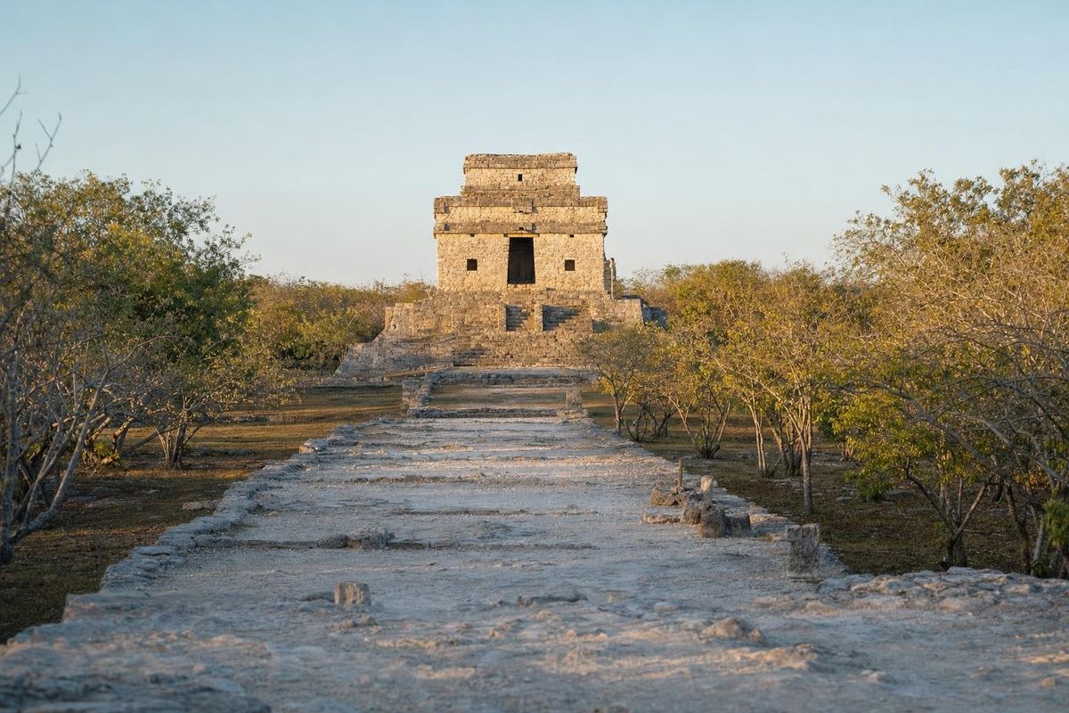
Dzibilchaltún lies about 20 kilometers north of Mérida and is one of the longest-occupied Maya sites in Yucatán, lived in for some two thousand years until the Spanish conquest. A visit takes in three very different things: the Temple of the Seven Dolls, where the equinox sun rises through the doorway; the Xlacah cenote, a natural pool in the middle of the ruins where swimming is usually allowed; and a sixteenth-century open chapel built on the old plaza.
A city that outlasted the Classic collapse
The name is usually glossed as "place where there is writing on flat stones," a reference to the carved slabs found around the ruins. Excavations show that people were living here by around 500 BC. The settlement grew through the Classic period and reached its largest size in the Late and Terminal Classic, roughly AD 700 to 1000, when it covered many square kilometers with thousands of structures, most of them now low mounds in the scrub.
Unlike the Puuc cities to the south, Dzibilchaltún did not empty completely when the southern lowland kingdoms declined. It shrank, but people kept coming to the cenote and the central plaza, and the place was still in use when the Spanish arrived in the sixteenth century. Franciscan friars built a small open chapel in the middle of the main plaza, using stone from Maya buildings, and its single nave and arch still stand among the ruins.
Most of what is known about the city comes from large excavations run by Tulane University under E. Wyllys Andrews IV between the late 1950s and the mid-1960s. That work mapped the core of the site, cleared the main causeway and recovered the figurines that gave the best-known temple its name. The ruins now sit inside a protected national park that also shelters a good stretch of northern Yucatán's dry forest.
What to see at the Dzibilchaltún ruins
The Temple of the Seven Dolls
At the eastern end of the main causeway stands a compact, square temple on a stepped platform. It is unusual for the Maya area in having windows, and its doors are aligned on an east-west axis. Around the spring and autumn equinoxes, the rising sun appears framed in the central doorway when seen from the causeway. The alignment draws large crowds in March and September, and the site sometimes opens early for it.
The temple's name comes from seven small clay figurines found buried in an offering inside an earlier structure. They have unusual, deformed bodies, and their meaning is still debated; some researchers read them as related to healing or to beings from Maya cosmology. The originals are kept in the site museum.
The causeway and the central plaza
A raised white road, a sacbé, runs from the temple west to the central plaza. Walking it is the best way to understand the plan of the city: smaller platforms line the way, and the plaza at the far end is framed by large mounds, the open chapel and a long building known as Structure 44, one of the longest in the Maya world.
The Museum of the Maya People
Near the entrance, the Museo del Pueblo Maya presents objects from Dzibilchaltún and other Yucatán sites, together with colonial pieces and displays on Maya life since the conquest. It is a good place to start, especially on a hot day, and the stelae arranged along its outdoor path are easy to miss.
Swimming in the Dzibilchaltún cenote
The Xlacah cenote lies next to the central plaza. It is an open, lake-like pool with clear water and water lilies along the edge. The shallow end is gentle, but the water drops off steeply toward one side, where divers have measured depths of around 40 meters.
Xlacah was the reason the city stood here. During the Tulane project, divers recovered thousands of objects from its bottom, including pottery, bone and ornaments, which suggests the cenote was a place of offering as well as a water source. Today local families swim here on weekends, and fish nibble at feet in the shallows.
The word cenote itself comes from Yucatec Maya, from ts'onot, the term for a natural well or sinkhole. Spanish borrowed it during the colonial period, so in Spanish a cenote is simply a cenote; there is no older Spanish word behind it. Geologically, it is a collapsed or partly collapsed cavity in the limestone that exposes groundwater. Northern Yucatán has no surface rivers, which is why every settlement depended on one.
The turtle, the cenote and the Maya earth
Visitors who see turtle carvings in the museums of Yucatán often ask what the turtle meant. In Maya imagery the earth's surface was commonly pictured as the back of a turtle, or of a crocodile, floating on the primordial sea. Classic-period painted vessels show the maize god rising from a cracked turtle shell, which most scholars read as the rebirth of maize from the earth. The three stars of Orion's belt were linked with a turtle in the sky, and some researchers connect that with the three hearth stones of creation.
A cenote fits that picture: an opening in the turtle's back, leading down to water and to the underworld. The idea helps explain why offerings went into wells like Xlacah. For more on these themes, the Maya mysteries section covers other figures of Maya cosmology.
Getting there from Mérida
Dzibilchaltún is just off the highway that runs north from Mérida toward Progreso, a drive of roughly half an hour. Colectivos and taxis serve the route; colectivos usually drop passengers at the turnoff or in the nearby village, from where it is a walk of a kilometer or so. Departure points change, so ask in Mérida. Many travellers combine the site with an afternoon at the coast.
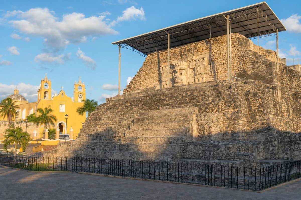
The site also works as the first stop on a wider cenote circuit, described in the Yucatán cenote route. South of Mérida, Acanceh has stucco work from a much earlier stage of the region's history.
Practical notes
The site is managed by INAH. Opening hours, fees and the cenote's swimming hours change, and the cenote sometimes closes for maintenance; check locally or on the INAH website. Come early: the causeway has almost no shade and the heat builds quickly from late morning. Bring water, a hat and swimwear. Sunscreen and repellent should be rinsed off before entering the cenote, and there are changing rooms near the water.
The equinox mornings are crowded; on any other day of the year, the light through the temple door in the first hour after opening is still worth the early start.
Dzibilchaltún: common questions
Can you swim in the Dzibilchaltún cenote?
Swimming in the Xlacah cenote is usually allowed during set hours. Rinse off sunscreen and repellent first, and check on arrival, since the cenote occasionally closes.
What does cenote mean in Spanish?
Cenote is a loanword from Yucatec Maya ts'onot, meaning a natural well or sinkhole. Spanish adopted it unchanged in meaning, so it refers to a water-filled cavity in the limestone.
When does the equinox sunrise happen at the Temple of the Seven Dolls?
Around the spring and autumn equinoxes in March and September, the sun rises in line with the temple's doorway. The effect is visible for a few days either side.
Why is it called the Temple of the Seven Dolls?
Seven small clay figurines were found in an offering inside the temple during excavations in the 1950s. They are displayed in the site museum.
How far is Dzibilchaltún from Mérida?
About 20 kilometers north of the city, roughly half an hour by car on the road to Progreso.
Nearby on the map
AI-generated image Towns & Villages · Yucatán
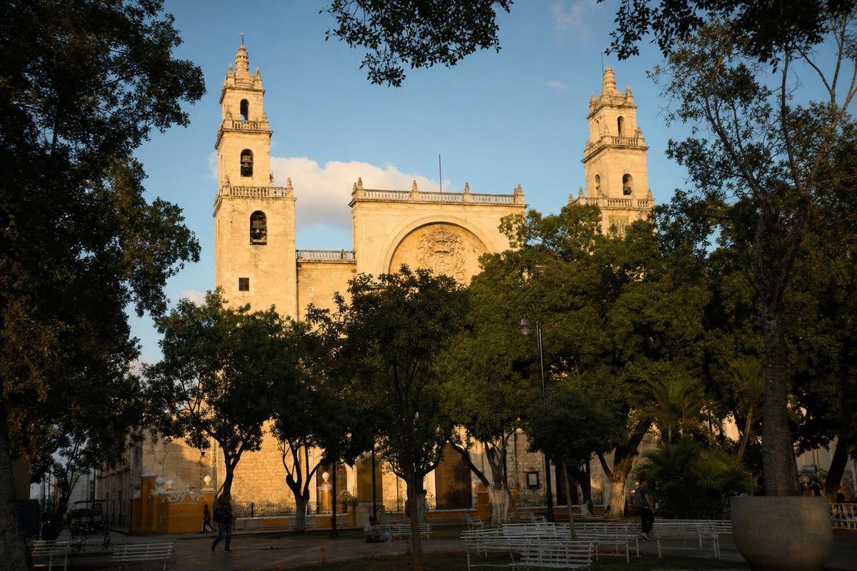
Mérida
AI-generated image Cenotes · Yucatán
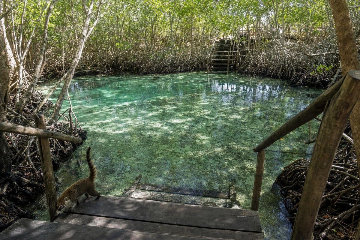
El Corchito
AI-generated image Towns & Villages · Yucatán
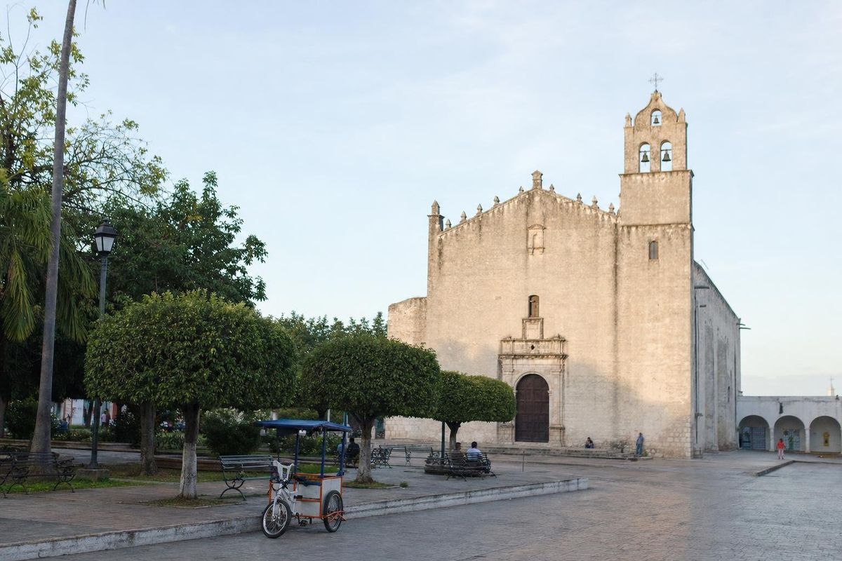
Motul
AI-generated image Maya Ruins · Yucatán
Acanceh