−5 m · Shallows · Islands · Yucatán
Isla Cerritos: the Small Island That Served as Chichén Itzá's Sea Port
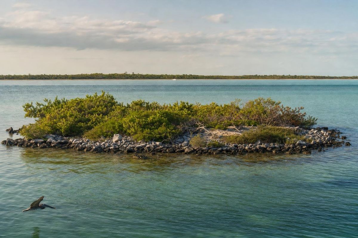
Isla Cerritos is a small, low island just off the fishing village of San Felipe on Yucatán's north coast, at the western end of the Ría Lagartos estuary. Today it looks like little more than scrub and mangrove, but excavations in the 1980s showed that it was a busy Maya harbor, most likely the main sea port of Chichén Itzá, at the height of that city's power roughly between the ninth and twelfth centuries AD.
Isla Cerritos, a port for an inland capital
Chichén Itzá lies around 90 kilometers inland, with no river to connect it to the sea. Yet the city was full of goods that came from far away: obsidian from the volcanic highlands of central Mexico and Guatemala, jade, shells, pottery made on the Pacific coast of Guatemala, and gold and copper objects from Central America. Most of that trade moved along the coast in large dugout canoes, and it needed a harbor on the north shore.
Isla Cerritos fits that role. The archaeological work led by Anthony P. Andrews, with Mexican colleagues including Tomás Gallareta Negrón, found a site that was small in area but packed with imported material. The quantity of foreign pottery and obsidian there, and its similarity to what turns up at Chichén Itzá, persuaded most researchers that the island served as the city's gateway to the sea. The island had been settled earlier, but its most intense use matches the period when Chichén Itzá dominated northern Yucatán.
Spanish explorers in the early sixteenth century still found long-distance Maya traders working this coast by canoe; one such trading canoe, met off Honduras during Columbus's fourth voyage in 1502, is often quoted as a picture of what that trade looked like.
What the excavations found
An island port needs more than a beach. The researchers mapped stone structures on the island itself, including platforms and building foundations, and traced the remains of a long sea wall built of stone rubble out in the water. A breakwater of that kind protected the harbor from the north swell and gave canoes a sheltered landing, and there is evidence of docks or landing areas along the shore.
The finds also showed how the port connected to its hinterland. The coast nearby, around the Ría Lagartos lagoons, has some of the best natural salt beds in the region, and salt from this coast was one of the most valuable things northern Yucatán could export. Archaeologists have suggested that salt went out and imported goods came in through the island, with inland sites such as Kulubá lying along the route between the coast and Chichén Itzá.
When Chichén Itzá declined, so did the port. By the time the Spanish arrived, the island was no longer a major harbor, and the trade had shifted to other ports along the coast.
What there is to see today
Expectations matter here. Isla Cerritos is not a developed archaeological zone with paths, signs and restored temples like Chichén Itzá itself. What remains are low stone mounds, scattered rubble, the outline of foundations under the scrub, and, at low water, hints of the old sea wall. The island is low and only a few hectares in size, and a good part of it is mangrove.
The sea wall is the most telling feature. Building a breakwater out in open water was a major investment of labor, and it only makes sense for a harbor that saw regular traffic.
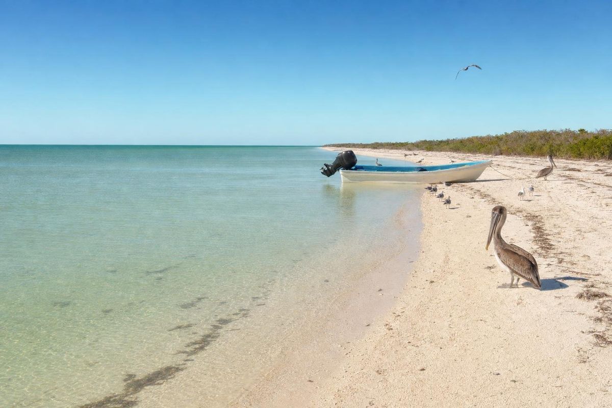
Its value is in the story, and in seeing the setting: the shallow, green water, the line of the mainland, the open Gulf to the north. Standing offshore, it is easy to see why canoes heading east and west along this coast would have used a sheltered island near the salt beds as a stop.
The site falls under the national heritage authority, INAH, and archaeological remains are protected. Whether visitors may step ashore depends on current rules and on local boat operators, so ask in San Felipe before going. Never pick up pottery or stone.
San Felipe and getting out to the island
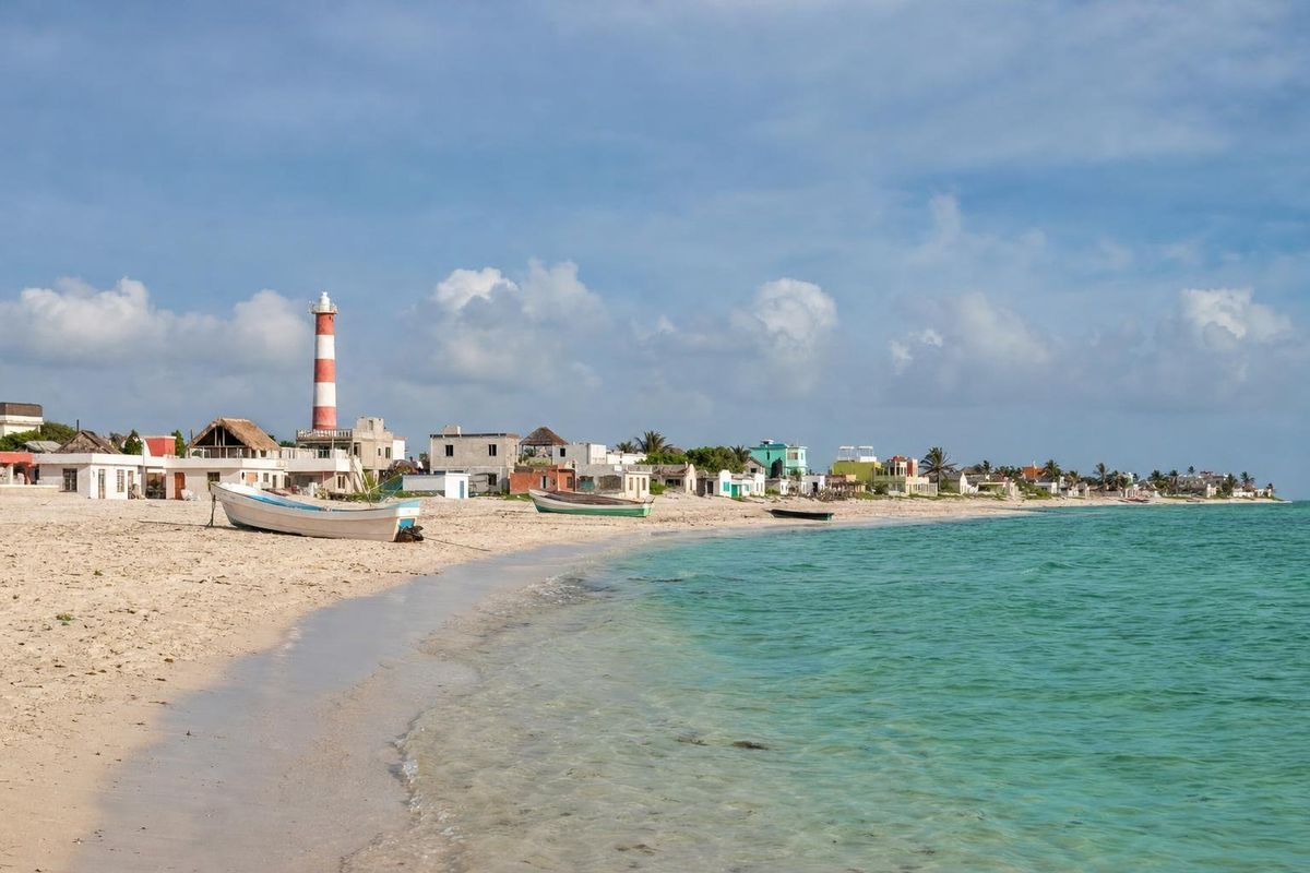
San Felipe, the mainland village opposite, is a fishing town known for its colorful wooden houses and its quiet waterfront. Boat trips from the village go out to the beaches and mangroves of the Ría Lagartos area, and some include a pass by the island. Boatmen in town are the people to ask; prices and routes are agreed locally and change, so confirm them before setting off.
By road, San Felipe is reached from Tizimín, heading north towards Río Lagartos and then west to San Felipe; from Tizimín it usually takes around an hour. Valladolid is roughly another 45 minutes to the south of Tizimín. Second-class buses link Tizimín with the coastal villages, but a car makes combining stops much easier.
The same coast continues east to Río Lagartos, Las Coloradas and the beach village of El Cuyo, all within the Ría Lagartos Biosphere Reserve.
When to go
The dry season, roughly November to April, has the calmest weather for small boats, though winter cold fronts can bring strong north winds and rough water for a day or two. The spring months are hot but usually settled. The hurricane season, about June to November, brings heavy rain and a risk of storms, especially later in the season. Mornings are generally calmer on the water than afternoons, when the sea breeze builds.
Practical notes
- Take water, a hat and strong sun protection; there is no shade on the boats or on the island.
- Wear shoes you can get wet if landing is allowed; the shore is rubble and mud, not sand.
- Leave everything where it lies. Removing archaeological material is illegal in Mexico.
- The waters around the island are part of a protected wetland, home to flamingos and many wading birds; keep a distance from flocks.
- For background on how these coastal wetlands work, see the page on the Celestún reserve, which shares much of the same ecology.
Other islands of the Yucatán coast are collected under Islands.
Isla Cerritos questions
What was Isla Cerritos?
A small Maya port off the north coast of Yucatán. Excavations showed it handled large amounts of imported goods, and most researchers see it as the main sea port of Chichén Itzá.
Where is Isla Cerritos?
Just off the fishing village of San Felipe, at the western end of the Ría Lagartos estuary, in the north of Yucatán state.
Can you visit Isla Cerritos?
The island can be seen by boat from San Felipe. Whether landing is allowed depends on current INAH rules and local arrangements, so ask before going.
Are there ruins on Isla Cerritos?
Yes, but they are low mounds, foundations and rubble, plus traces of an old stone sea wall. There are no restored temples or pyramids on the island.