
−20 m · Stone · Maya Ruins · Quintana Roo
Tulum Ruins, Mexico: the Walled Maya Port and Its Clifftop Pyramids
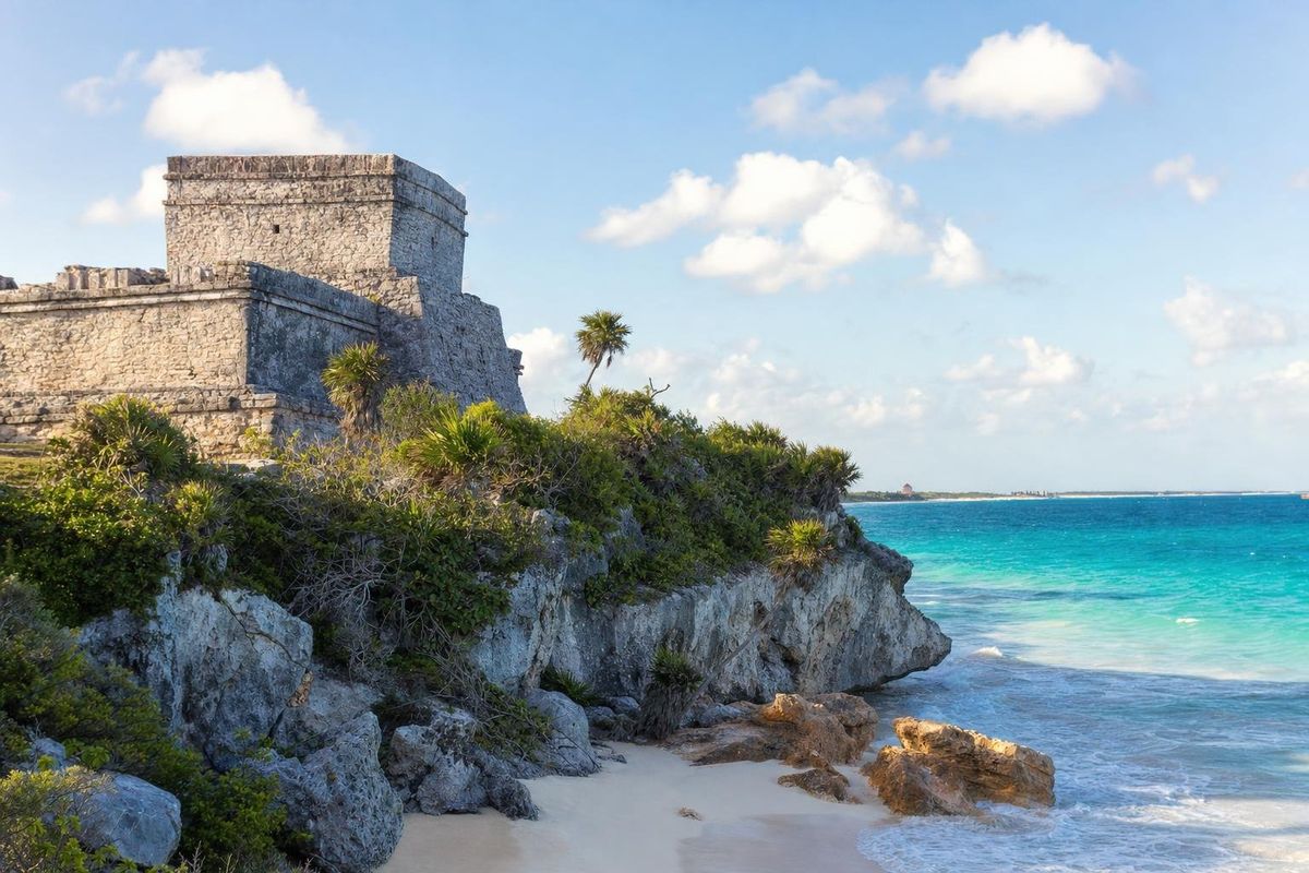
The Tulum ruins sit on a limestone cliff above the Caribbean, a few kilometers north of the modern town of Tulum in Quintana Roo. The city flourished between roughly 1200 and the Spanish arrival, when it was a walled port on the Maya trade route along the coast. Its pyramids are small compared with Chichén Itzá or Cobá, but no other Maya site has a setting like it, and its Temple of the Descending God is one of the most recognizable images of the coast.
A Postclassic port on the Caribbean
Tulum belongs to the last centuries of independent Maya history. Its name is Yucatec Maya for "wall" or "enclosure", given after the stone wall that still surrounds it on three sides; the sea closes the fourth. Most scholars think the city's own name was Zamá, often translated as "dawn", fitting for a place that faces due east. Older settlement existed along this stretch of coast, and remains of related sites lie in the bays to the north, around Caleta Tankah and Tankah Bay.
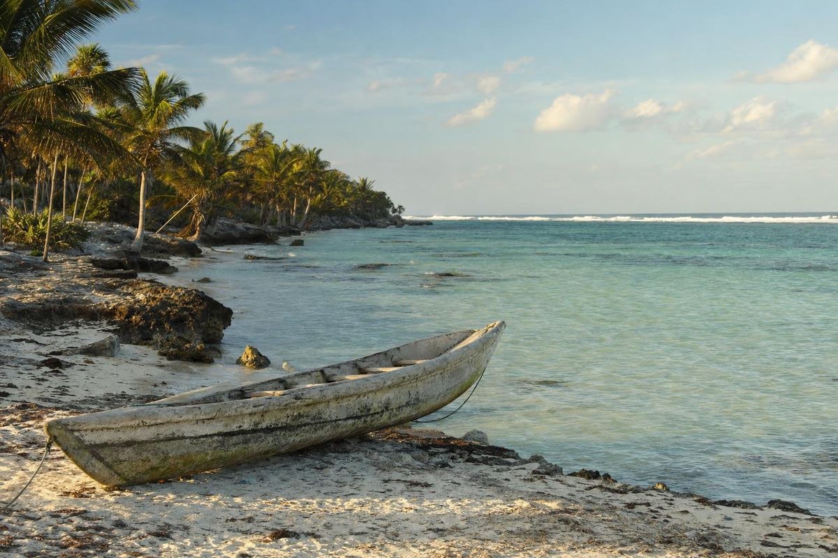
The city lived from the sea. Large dugout canoes carried salt, honey, cotton cloth, feathers, obsidian, jade and cacao between the Gulf coast and Honduras, and Tulum stood at one of the few natural landing places in this part of the reef, where a small cove and beach sit below the cliffs. Archaeologists have suggested that shrines along the cliff edge worked as markers for sailors, and one popular theory holds that lights in the windows of El Castillo guided canoes through a gap in the reef. It is an attractive idea, and still a theory.
In 1518 the Spanish expedition of Juan de Grijalva sailed past a walled town on this coast, and its chaplain compared it to Seville. Many historians take that town to be Tulum. The city was still inhabited in the early colonial years and was abandoned within a few decades, as disease and the collapse of coastal trade emptied the region. John Lloyd Stephens and Frederick Catherwood described it in the 1840s. During the Caste War the Maya rebels of eastern Yucatán used Tulum as a shrine for the cult of the Talking Cross, and the area stayed beyond government control into the twentieth century.
What to see inside the wall
The wall itself is the first monument. It runs for several hundred meters on the landward sides, stands a few meters high, and has narrow gateways that visitors still use. Two small watchtowers sit at its corners. Inside, the main buildings line a central street, with the most important ones on the cliff edge.
El Castillo
The largest building stands at the edge of the cliff, a temple on a stepped platform with a broad stairway facing inland. It was rebuilt in several stages, and the upper temple has serpent columns at its entrance in a style shared with Chichén Itzá and Mayapán. The view of El Castillo from the north end of the site, with the beach below, is the picture most people know. Visitors are not allowed to climb it.
The Temple of the Descending God
To the left of El Castillo, a small temple leans visibly on its base. Above its doorway, a stucco figure dives head-first with legs in the air and wings or arms spread: the Descending God. He appears several times at Tulum and at other east coast sites. Interpretations range from the setting sun or evening star, to a bee god linked with the honey trade, to a form of the maize god; the full set of readings is on the Descending God page.
The Temple of the Frescoes
This two-level building near the main entrance is the most rewarding stop for anyone interested in Maya art. Its corners carry stucco masks of an old deity, and inside, behind barriers, are murals painted in a style closely linked to the Mixtec codices of central Mexico. They show gods, offerings and intertwined serpents, with Chaak and the old goddess Ixchel among the figures researchers identify. The paint is faded and the interior can only be viewed from outside.
The Temple of the Wind and the House of the Cenote
The small Temple of the Wind sits on a rocky point above its own cove, round-based in the manner of wind god shrines elsewhere. Near the northern side of the site, the House of the Cenote was built over a small cenote, the city's fresh water supply and a link to the underworld; a burial was found beneath it.
The beach and the coast around the ruins
Below El Castillo a wooden stairway has led down to a small beach where swimming has been allowed in some years and not in others, depending on conservation measures and sea conditions. Sea turtles nest on the beaches here between roughly May and October, and marked nests must not be disturbed. Sargassum seaweed reaches this coast in varying amounts, mostly in the warmer months. The ruins lie inside a protected area that also takes in the coast to the south, with more beaches and the town's hotel strip beyond.
How to get there
The archaeological zone is a short distance north of downtown Tulum, off federal highway 307, which runs the length of the Riviera Maya. Playa del Carmen is a little over an hour north by car and Cancún roughly two hours. Colectivos run along the highway, the town has bus and train stations, and from town the entrance can be reached by bicycle or taxi. From the ticket area to the wall is a walk of several minutes, and small trams have often shuttled visitors along that stretch.
The ruins combine well with the cenotes around Tulum, such as Casa Cenote, and with Muyil in the Sian Ka'an area to the south.
Timing and practical notes
Tulum is one of the busiest archaeological zones in Mexico, and tour buses from Cancún and Playa del Carmen arrive from mid-morning. The best time is the first hour after opening, when the light comes from the sea and the paths are still quiet. Opening times and fees change; check them locally or on the INAH website, and note that the protected area around the ruins may charge separately. There is very little shade inside the wall. Bring water, a hat and swimwear if the beach is open; drones need a permit, and large tripods are often restricted. The other ancient cities of the peninsula are in the Maya ruins section.
Tulum ruins: common questions
How old are the Tulum ruins?
Most standing buildings date from roughly 1200 to the early 1500s, the Late Postclassic period. Earlier remains show the area was settled long before that.
Can you climb the pyramids at Tulum?
No. Climbing El Castillo and the other temples is not permitted, and some areas are roped off to protect the buildings.
Can you swim at the Tulum ruins?
There is a small beach below the cliff reached by a stairway. Access depends on conservation rules and sea conditions at the time, so check on arrival.
Who is the Descending God at Tulum?
A head-first diving figure over the doorway of one temple. Scholars have read him as the setting sun or evening star, a bee god or a maize deity; no single reading is settled.
How far are the Tulum ruins from Cancún?
Roughly 130 kilometers south along highway 307, about two hours by car.
What does the name Tulum mean?
It means "wall" or "enclosure" in Yucatec Maya, after the stone wall around the city. Its original name was probably Zamá.
Nearby on the map
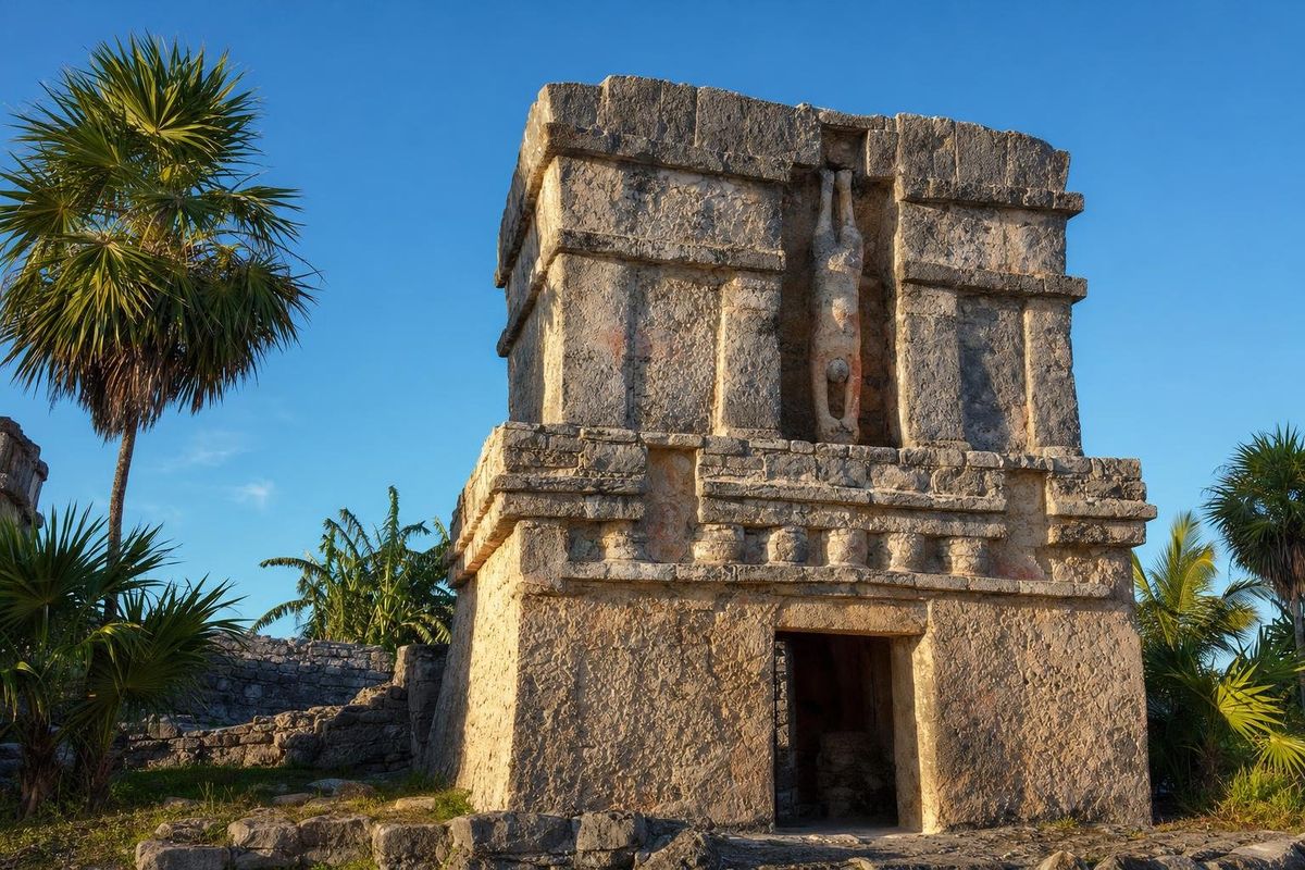
AI-generated image Maya Mysteries · Quintana Roo
Descending God
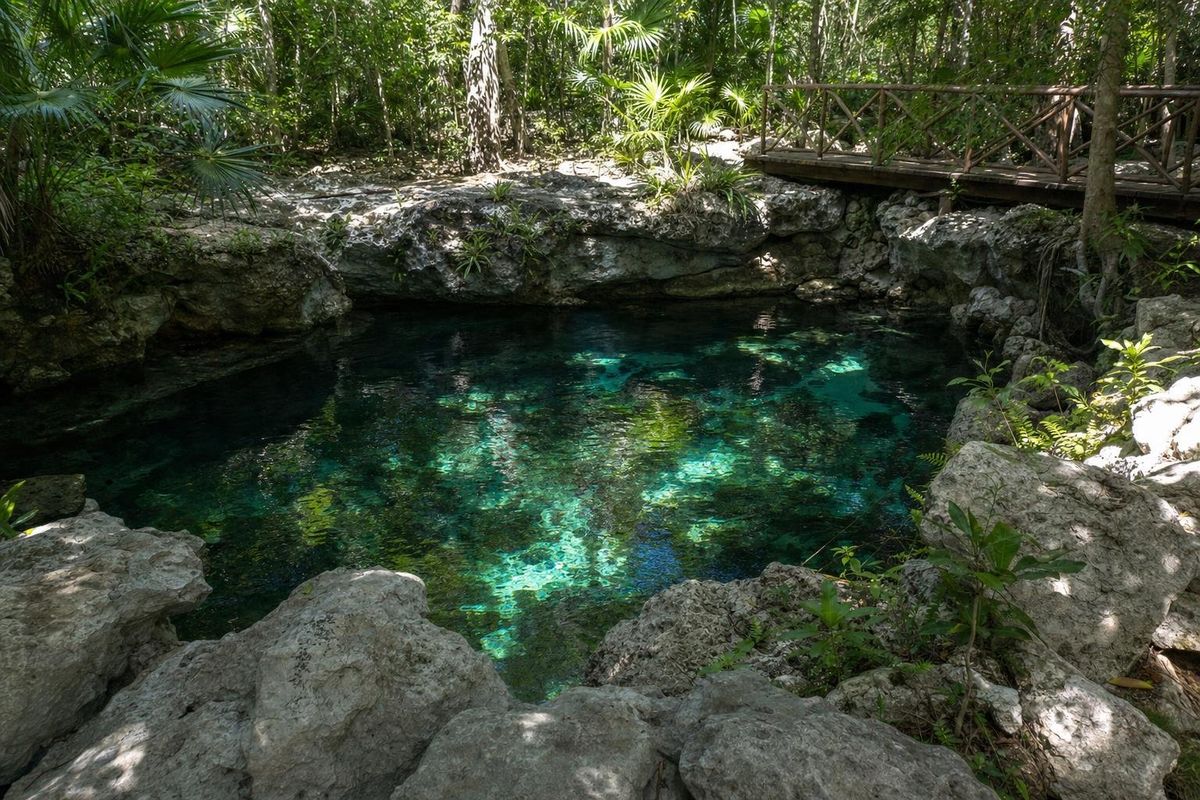
AI-generated image Cenotes · Quintana Roo
Caleta Tankah
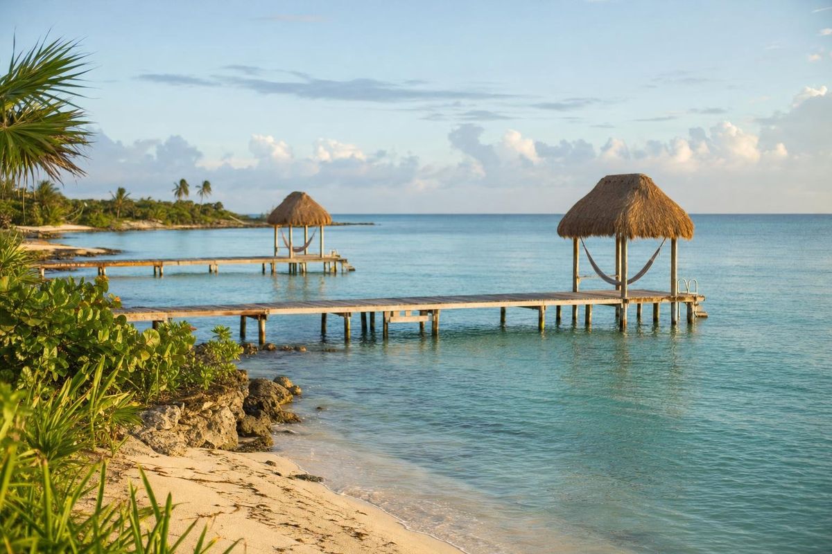
AI-generated image Beaches · Quintana Roo
Tankah Bay
AI-generated image Beaches · Quintana Roo
Soliman Bay