
−20 m · Stone · Maya Ruins · Campeche
Xpuhil Maya Ruins: the Three-Towered Río Bec Palace in Campeche
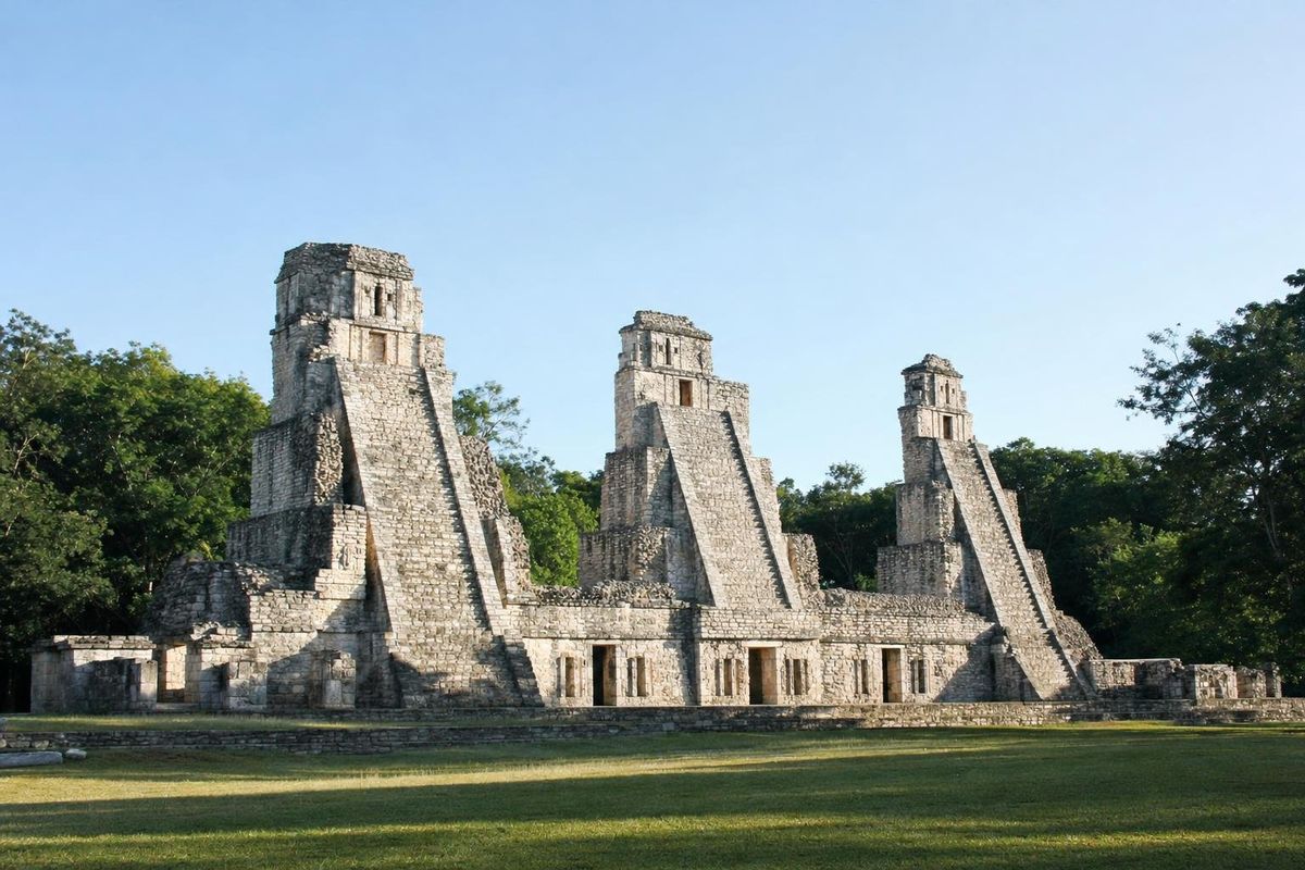
Xpuhil is a small Maya site at the western edge of the town of Xpujil in southern Campeche, on Federal Highway 186 between Chetumal and Escárcega. Its main building, Structure 1, is a palace topped by three tall towers with steep false stairways and mock temples that were never meant to be climbed, the clearest example of the Río Bec architectural style. A visit takes about an hour and pairs naturally with the nearby sites of Becán and Chicanná.
A small center in the Río Bec region
The name is usually translated as "cattail" or "cat's tail," after a plant that grows in wet ground in the area, and the town that grew up beside the ruins took the same name with a modern spelling. The ancient name is unknown.
Excavations show occupation from the Late Preclassic, several centuries before AD 1, to about AD 1100, with most of the visible architecture built in the Late Classic, roughly AD 600 to 800. Xpuhil belongs to the Río Bec region, an area of dense settlement in the forests of southern Campeche and Quintana Roo, between the great cities of Calakmul to the west and the sites around Chetumal to the east.
What makes the region distinctive is its architecture rather than its inscriptions. Few carved monuments with dates have been found here, so its political history is less clear than at Calakmul or Dzibanché.
Structure 1 and its three towers
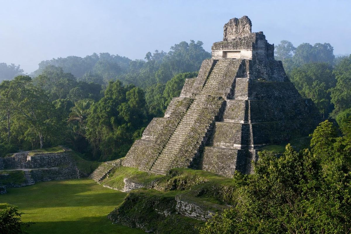
Structure 1 is a long, low building with rooms at ground level and three solid towers rising above it: one at the back in the center and one at each end of the facade. Most Río Bec buildings have two towers; three is unusual, and that alone makes Xpuhil worth the stop.
Each tower has rounded corners and a staircase on its face so steep and narrow that it is purely decorative. The steps are too shallow to stand on. At the top of each tower is a small imitation temple with a doorway that leads nowhere, once decorated with stucco and stone masks. From a distance, the effect is of three soaring temple pyramids, in the style of the great Classic cities to the south, compressed onto a single palace.
Look at the rear of the central tower, where carved stone elements survive, including parts of a large mask of a mountain or sky creature with eyes and fangs. Similar zoomorphic facades, where a doorway forms the open mouth of a monster, can be seen at Chicanná a few kilometers away.
Palaces, power and the Río Bec houses
Why build towers nobody could climb? One common reading is that they were symbols: references to sacred mountains and to the royal temples of older cities, adopted by the families who lived and worked in the rooms below. In that reading, the towers advertised status and ancestry rather than serving any practical purpose.
Research in the Río Bec area by French and Mexican teams, including work led by Dominique Michelet and Marie-Charlotte Arnauld, has found a landscape of many substantial residences scattered through farmland and forest rather than a single dominant capital. One interpretation is that the region was organized around noble households, each with its own house compound and lands, competing for prestige through architecture. Others see more central authority at sites such as Becán. Both views treat buildings like Structure 1 as homes of the elite rather than temples, which is a useful way to see Xpuhil: a grand house dressed up as a sacred mountain.
Getting there
The site lies on the north side of Highway 186 at the western edge of Xpujil town, within walking distance of the town center. Xpujil is roughly two hours' drive west of Chetumal and is the main base for the area, with simple hotels and places to eat. Long-distance buses between Chetumal and Escárcega stop in Xpujil; check current schedules locally.
The neighboring sites deserve the extra hours. Becán is ringed by a deep defensive ditch, one of the few fortified cities in the Maya lowlands, and its plazas are surrounded by towered buildings in the same style as Xpuhil. Chicanná, much smaller, has one of the finest monster-mouth doorways in the region, its entrance framed by the teeth and eyes of a great earth creature.
Becán, a large walled city, is about 7 km west along the highway, and Chicanná lies just beyond it. Further west, a signed road branches south into the Calakmul Biosphere Reserve toward Calakmul, a drive that takes most of a morning; the Calakmul museum along the way covers the region's nature and archaeology. Calakmul and its forest are listed by UNESCO as a World Heritage site.
Coming from the east, Xpuhil fits after a morning at Kohunlich, and drivers based in Bacalar can reach it in about two and a half hours.
Practical notes
The site is small, flat and easy to walk, but there is little shade around Structure 1. Morning light falls on the facade and is best for photographs. Bring water and sun protection; the region is hot for most of the year and drier than the coast. The dry season, roughly November to April, is the most comfortable time to visit the area, and the forest reserves to the west are at their most accessible then.
Climbing the towers is not allowed, and given their steepness, would be dangerous anyway. Opening hours and fees are set by INAH and change, so check them before going. More sites of the region are listed in the Maya ruins section.
Before leaving, stand at the side of Structure 1 rather than in front of it. From there, the illusion collapses: the towers are clearly solid masses with no interior, and the mock temples on top are only a few meters deep.
Xpuhil FAQ
Where is Xpuhil?
At the western edge of the town of Xpujil in southern Campeche, Mexico, on Federal Highway 186, roughly two hours west of Chetumal.
What is the Río Bec style?
An architectural style of southern Campeche and Quintana Roo in which palaces carry solid towers with steep false stairways and mock temples on top, often with monster-mouth doorways and mask facades.
Why are the stairs at Xpuhil so steep?
They were decorative. The towers are solid and the steps too narrow to climb; they imitate the temple pyramids of older cities.
Is Xpuhil the same as Xpujil?
Both spellings are used. Xpuhil usually refers to the archaeological site and Xpujil to the modern town next to it.
What other ruins are near Xpuhil?
Becán and Chicanná are a few kilometers west, Hormiguero and Río Bec lie to the south, and Calakmul is reached by a road into the biosphere reserve further west.
Nearby on the map
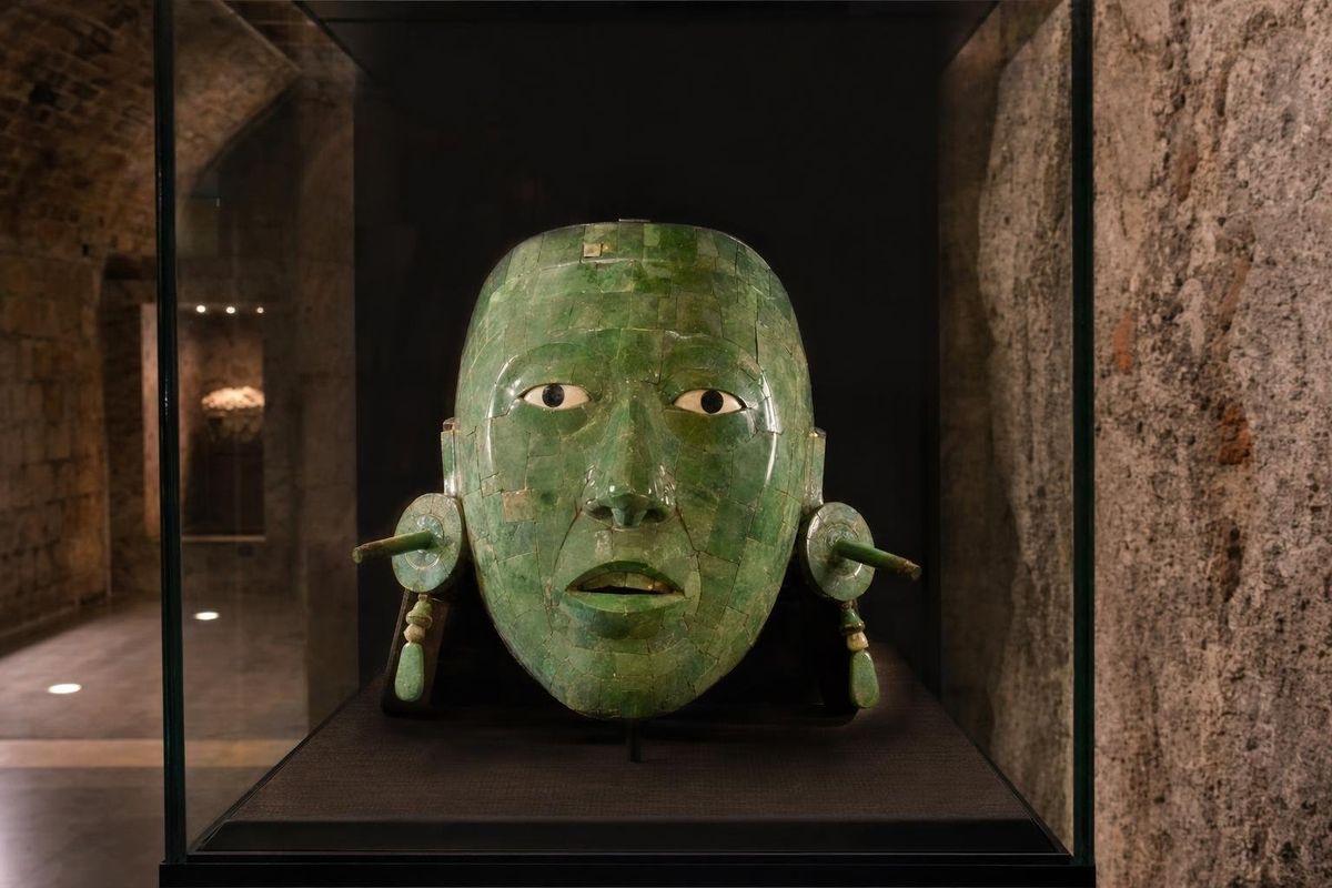
AI-generated image Museums · Campeche
Calakmul museums
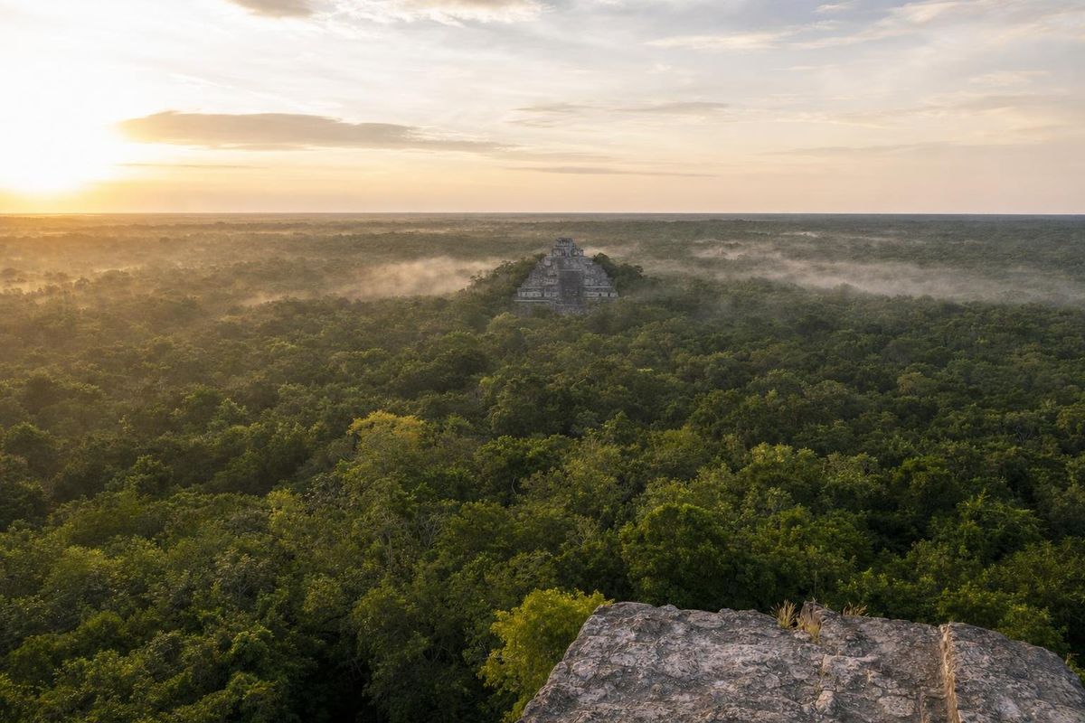
AI-generated image Maya Ruins · Campeche
Calakmul
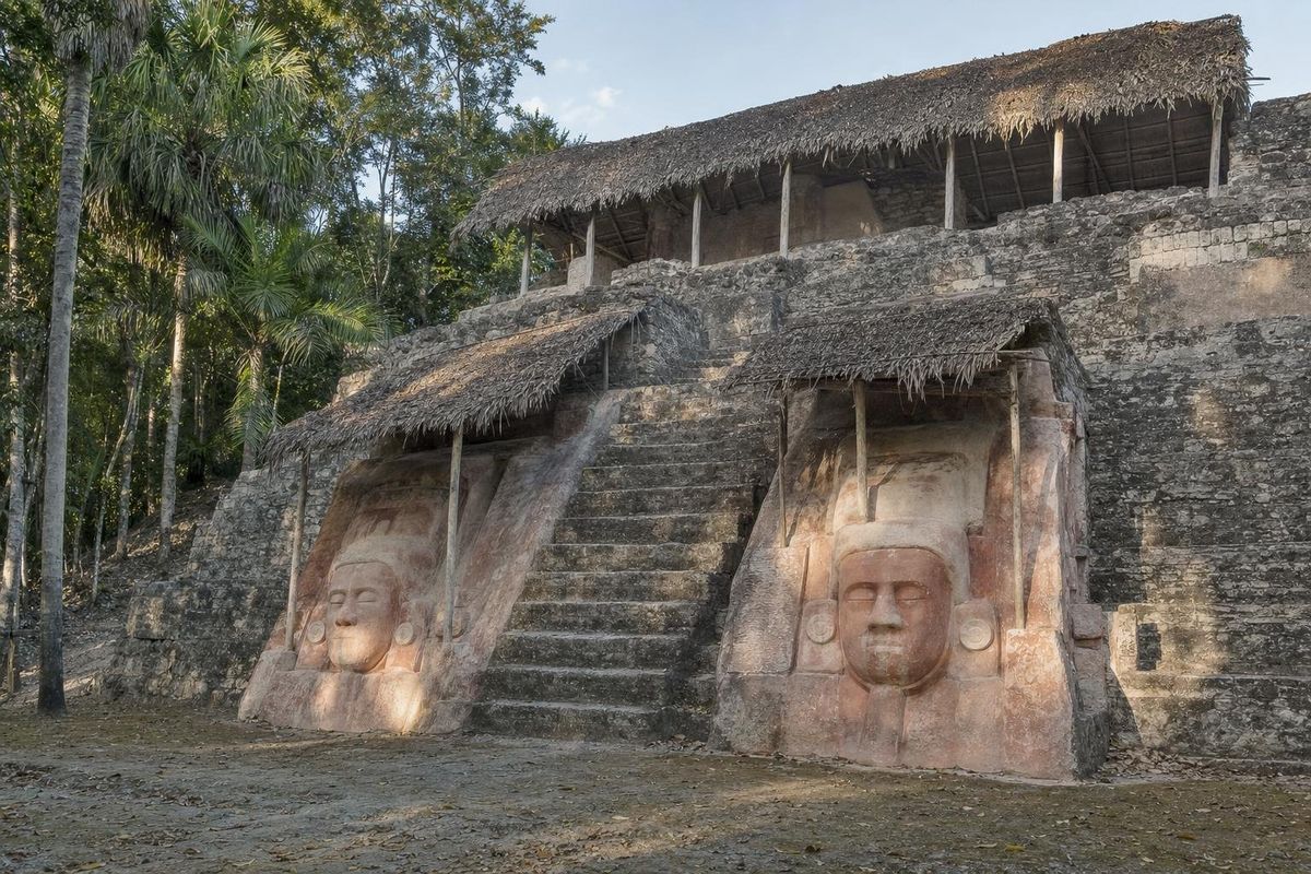
AI-generated image Maya Ruins · Quintana Roo
Kohunlich
AI-generated image Maya Ruins · Quintana Roo
Dzibanché