
−5 m · Shallows · Lakes & Rivers · Chiapas
Agua Azul, Mexico: The Turquoise Waterfalls of the Chiapas Jungle
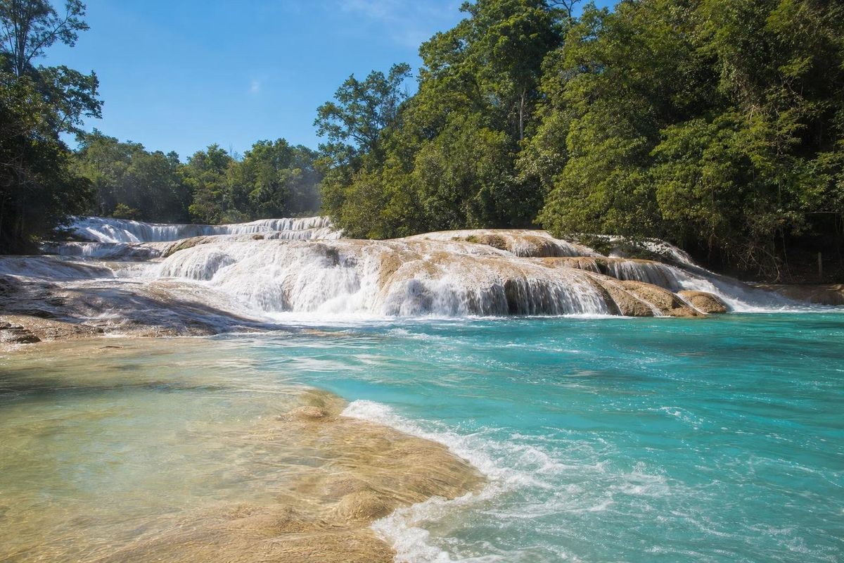
Agua Azul is a chain of waterfalls and turquoise pools on a river in the forested north of Chiapas, about 65 km south of Palenque on Highway 199, the road to Ocosingo and San Cristóbal de las Casas. In the dry season the water runs a startling blue over cream-coloured rock; after heavy rain it turns brown. Most visitors come on a day trip from Palenque, and the best experience comes from walking upstream, away from the first crowded pools.
Why the water is blue
The river carries a heavy load of dissolved calcium carbonate from the limestone hills it drains. As the water tumbles over ledges, it loses carbon dioxide and the mineral comes out of solution, building up crusts of travertine on rocks, roots and fallen branches. Over time these deposits form the stepped dams and basins that give Agua Azul its shape, and the fine particles in suspension scatter light so that deeper pools read as turquoise or sky blue. The Tzeltal Maya name, Yax Ha, is often given as "green water" or "blue-green water"; Maya languages use one word for both colours.
The cascades are part of a federally protected area for flora and fauna, established in 1980 and administered by CONANP. The land around them belongs to Tzeltal and Ch'ol communities, which run parking, stalls and services at the site.
Agua Azul waterfalls: what to do
Swim in the marked areas
Swimming is allowed only in designated pools, which are usually roped off or signposted. The water is cool and very welcome in the heat of the lowlands. Elsewhere the current is stronger than it looks, especially near the main drops, and drownings have happened. Watch for slippery travertine underfoot; it is smooth, but algae can make it treacherous.
Walk upstream
A path climbs alongside the river past stall after stall, then thins out into the forest. The cascades continue for well over a kilometre, and the higher you go the quieter it gets. The walk is moderately steep in places and can be muddy. Allow at least an hour up and back, more if you stop to swim.
Look for birds and butterflies
The surrounding forest is lowland and foothill rainforest, home to toucans, parrots, oropendolas and many butterflies. Early morning, before tour vans arrive, is the best time to see them.
How to get to Agua Azul from Palenque
Palenque is the usual base. The drive south on Highway 199 takes around an hour and a half, depending on road conditions, which can be rough, with steep bends and many speed bumps. A side road leads about 4 km down to the river. Many tour companies in Palenque sell day trips that combine Agua Azul with the single tall waterfall of Misol-Ha, nearer the town, and sometimes with a third stop; the trade-off is a short time at each place. Shared vans running between Palenque and Ocosingo can drop passengers at the junction, where local taxis wait.
Coming from San Cristóbal, the route through the highlands via Ocosingo is long and winding, roughly five to six hours. Breaking the trip at Agua Azul is possible but makes for a long day.
Community checkpoints on the access road sometimes collect entry or road fees, and in some periods roadblocks on Highway 199 have stopped traffic for hours. Situations change, so ask in Palenque or San Cristóbal about current conditions before setting out, and travel in daylight.
Pairing the falls with Palenque
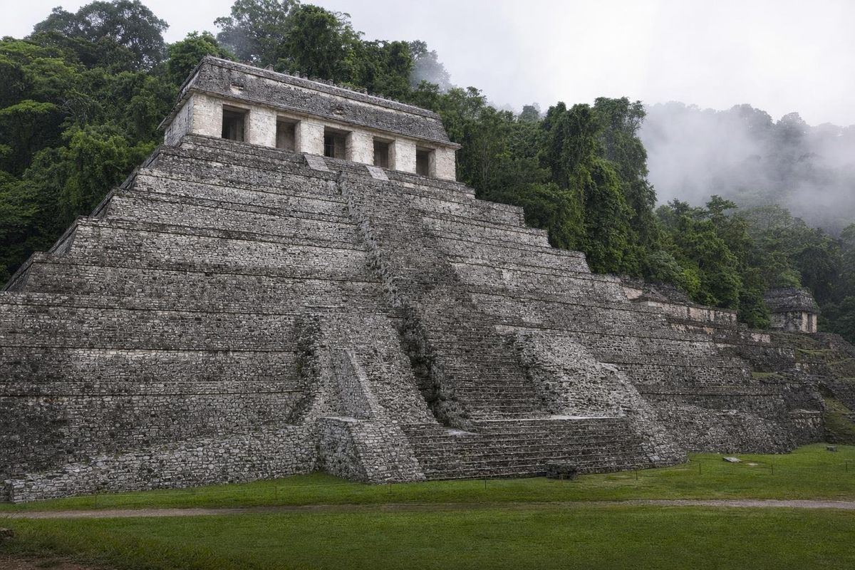
Most visitors combine Agua Azul with the ruins of Palenque, the Classic Maya city on the edge of the forest just outside the town of the same name. Its best-known building, the Temple of the Inscriptions, hid the tomb of the ruler K'inich Janaab Pakal, found by the archaeologist Alberto Ruz Lhuillier in 1952. Seeing the ruins in the cooler early morning and the river in the afternoon works well, since the tour groups usually reach Agua Azul around midday and leave by mid-afternoon. On the same road, about 20 km from Palenque, the single waterfall of Misol-Ha drops some 35 metres into a round pool, with a path that runs behind the curtain of water.
When the river is blue
The colour depends almost entirely on rain. During the rainy season, roughly June to October and sometimes into November, runoff fills the river with sediment and the pools turn milky or brown. From about December to May the water clears, and March to May, the hottest months, is when the blue is most intense and swimming most welcome. Even in the dry season a heavy storm upstream can cloud the water for a day or two.
The river is not unchanging. In spring 2017 its flow dropped sharply for a time, leaving rock bare where pools usually were; officials blamed drought and a shift in the riverbed, and the water returned with the rains. Weekends and Mexican holidays bring the biggest crowds; mid-week mornings are calmer.
Practical notes
- Bring water shoes for the travertine, a dry bag and a towel.
- Use biodegradable sunscreen or, better, cover up; the river feeds communities downstream.
- Carry cash in small notes for fees, parking and food. There are no ATMs at the site.
- Stalls sell corn, tamales, fruit and fried fish; the textiles on sale are often made by Tzeltal women from the surrounding villages.
- Keep valuables with you while swimming.
Agua Azul sits naturally in a Chiapas route that continues to the river ruins of Yaxchilán and the murals of Bonampak, both covered in the three-day Lacandón jungle trip from Palenque. In the highlands, the Tzotzil town of Zinacantán shows a very different side of Chiapas. More rivers and lagoons appear under lakes and rivers.
Look at the fallen trunks along the banks: many are coated in a pale shell of travertine, the same mineral that built the ledges, slowly turning the wood into stone.
Questions about Agua Azul
Can you swim at Agua Azul?
Yes, in designated pools only. Currents near the main falls are dangerous, and the rock can be slippery.
When is Agua Azul blue?
Mainly in the dry season, roughly December to May. In the rainy months from about June to October the water often turns brown.
How far is Agua Azul from Palenque?
About 65 km, usually around an hour and a half by road on Highway 199, plus the short side road down to the river.
Is it safe to visit Agua Azul?
Most visits pass without trouble, but road fees and occasional roadblocks occur on the approach. Check current conditions locally, travel by day and follow posted swimming rules.
Is Agua Azul worth it on a tour?
A tour from Palenque is the easiest option, but time at the river is short. Travellers who want to walk upstream and swim in quieter pools often prefer to go independently.
Nearby on the map
AI-generated image Maya Ruins · Chiapas
Palenque
AI-generated image Towns & Villages · Chiapas
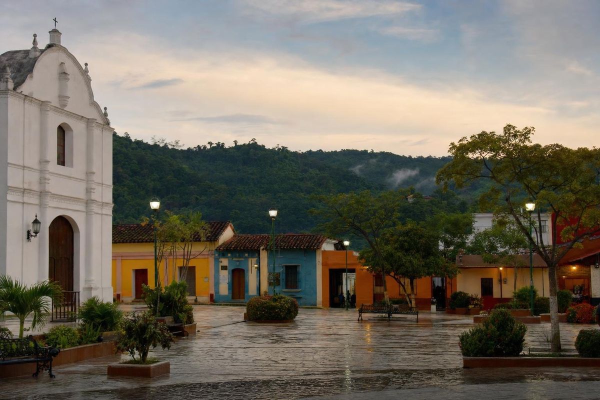
Palenque town
AI-generated image People of Mexico · Chiapas
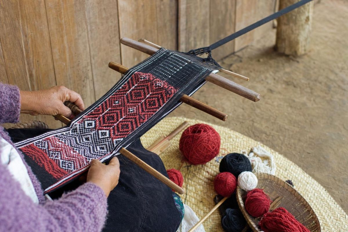
Tzotzil weaving
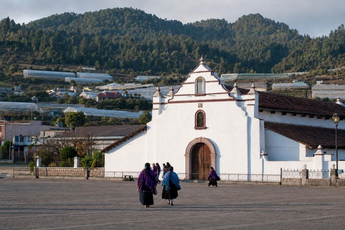
AI-generated image Towns & Villages · Chiapas
Zinacantán