
−5 m · Shallows · Towns & Villages · Chiapas
Palenque, Mexico: the Chiapas Town Below the Ruins and What to Do
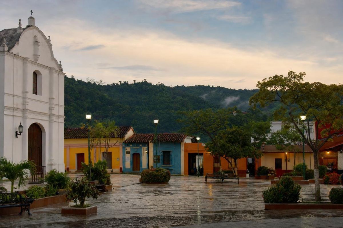
Palenque, Mexico is a working town in northern Chiapas, about 8 kilometers east of the famous Maya ruins that share its name, at the point where the lowlands of Tabasco meet the first forested hills. It is not a colonial showpiece, but it has everything a visitor needs as a base for the archaeological site, the waterfalls of Misol-Ha and Agua Azul, and the jungle cities of the Usumacinta river.
A town older than its fame
The full name of the town is Santo Domingo de Palenque. It was founded in 1567 by the Dominican friar Pedro Lorenzo de la Nada, who gathered scattered Ch'ol Maya families of the region into a single settlement, as the Spanish did across Chiapas. Palenque is Spanish for "palisade" or "stockade", and the word is often explained as a translation of a Ch'ol place name meaning a fenced or fortified place.
For almost two centuries the town knew nothing of the ancient city in the hills to the west. Reports of ruined "stone houses" reached colonial officials in the eighteenth century, and a series of expeditions followed, so the town gave its name to the ruins rather than the other way round. Today the municipality is large and rural, with hundreds of small communities, many of them Ch'ol-speaking, and the town is its only real urban center.
The town was the starting point for most early explorers of the ruins. Antonio del Río led an expedition for the Spanish crown in 1787 and published one of the first descriptions. Jean-Frédéric Waldeck spent time at the site in the 1830s and lived for a while in one of its temples, still called the Temple of the Count after him. John Lloyd Stephens and Frederick Catherwood arrived in 1840 and drew the Palace and the panels of the Cross Group, the images that first made Palenque known abroad. All of them came through Santo Domingo, then a remote village at the end of difficult mule tracks. Ch'ol, a Mayan language closely related to the one written in the inscriptions of the ancient city, is still spoken in many communities around the town, though Spanish dominates in the center.
What Palenque means beyond Chiapas
The word turns up in other places too. In Oaxaca a palenque is a small mezcal distillery, where agave hearts are roasted in a pit and crushed by hand or by a stone wheel; the Matatlán mezcal page describes one. In Colombia, San Basilio de Palenque is a village founded by people who escaped slavery. In Chiapas, though, Palenque means the town and the ruins.
Around the main square
The center of town is the zócalo, a modest plaza with trees and benches, framed by the town hall and the Santo Domingo church. In the evenings families gather here, food stalls set up and the heat eases. A few blocks of low houses in yellow, blue and orange spread out from the square, and the main commercial street, Avenida Juárez, runs downhill toward the large roundabout at the entrance to town, where a statue of a Maya head greets arrivals.
The town itself has few sights, and that is part of its character. It is a place to buy supplies, eat well, drink Chiapas coffee (the state is one of Mexico's main producers, and it is worth asking for local coffee by name) and rest between excursions. Lodging is spread between the town center and the wooded road toward the ruins, where cabins sit among the trees and the sound of howler monkeys carries at night. Names and prices change too often to list; it is easy to compare options locally.
What to do from Palenque
The ruins and the site museum
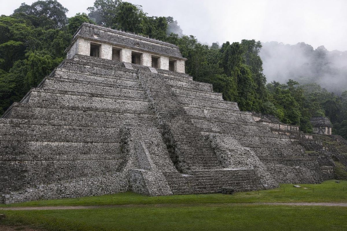
The main reason to come is the ancient city of Palenque, with the tomb of Pakal the Great in the Temple of the Inscriptions, the Palace and its tower, and the Cross Group. The site museum stands on the road just before the ruins and displays carved panels and a reproduction of Pakal's sarcophagus lid. Both are covered in detail on the Palenque ruins page. Colectivos run regularly from town to the site.
Waterfalls: Misol-Ha and Agua Azul
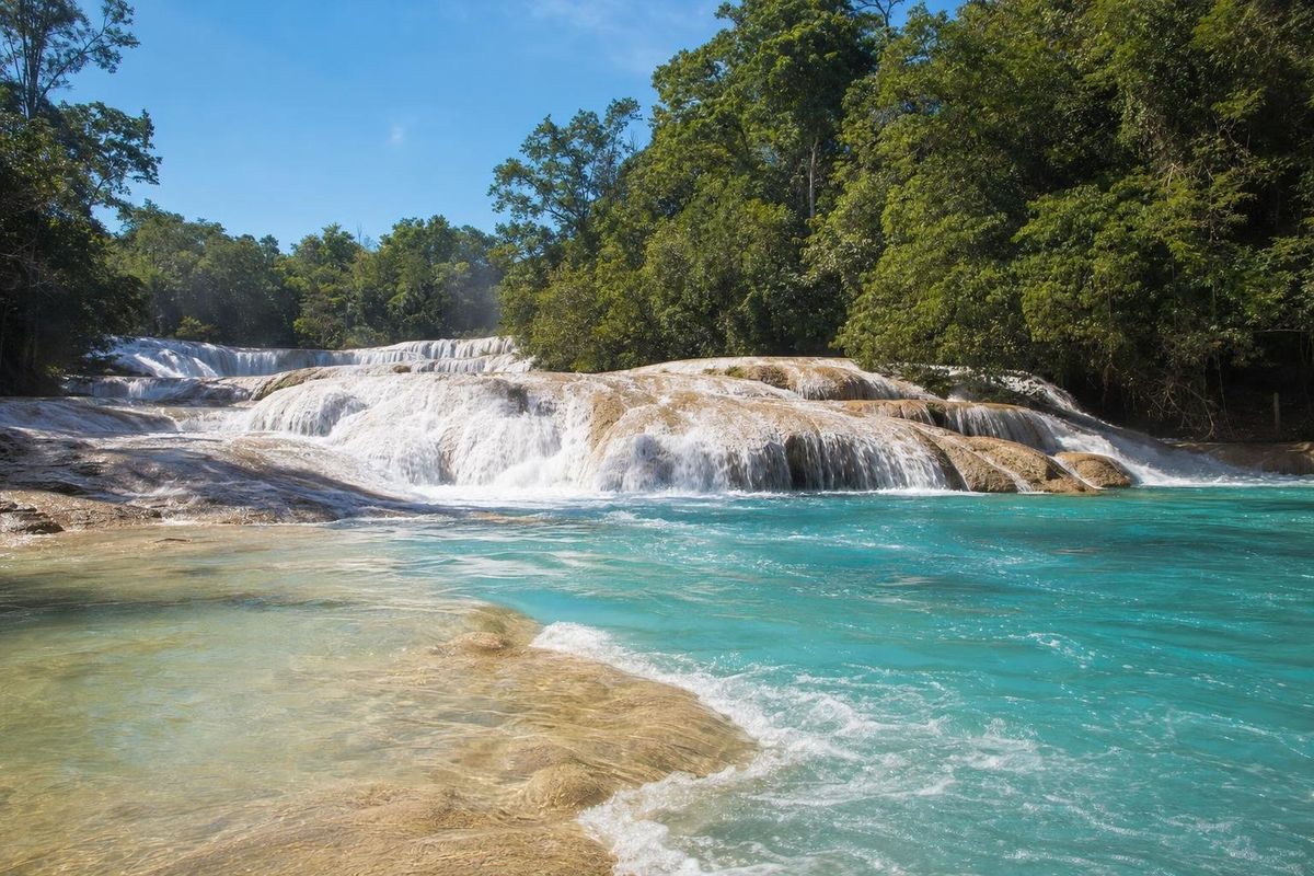
About 20 kilometers south of town on the road to Ocosingo, Misol-Ha is a single high waterfall dropping into a round pool, with a path that leads behind the curtain of water. Further along the same road, Agua Azul is a long series of turquoise cascades over limestone terraces. Both are commonly combined in one day. The color at Agua Azul is at its best in the dry months; in the rainy season the river can run brown.
Bonampak, Yaxchilán and the Lacandón forest
With two days or more, the road southeast along the Guatemalan border leads into the Lacandón rainforest. Bonampak holds the finest Maya murals known, and Yaxchilán is reached only by boat on the Usumacinta from Frontera Corozal. Lacandón Maya communities in the area run lodging and guided walks.
Further afield
Toniná, the city that defeated Palenque in 711, lies near Ocosingo on the way to the highlands. To the north, Villahermosa and the Olmec sculptures of La Venta are a couple of hours by road.
Getting to Palenque
Palenque has a small airport, a long-distance bus station and, since the line opened in 2023, a station on the Tren Maya, of which it is the western terminus. Villahermosa, with a larger airport, is roughly two to two and a half hours away by road. The mountain road from San Cristóbal de las Casas through Ocosingo is scenic but slow and winding, with many speed bumps; allow most of a day, travel in daylight, and check the current situation before setting out, as road blockades have occurred on this route. Routes, schedules and fares change, so confirm them locally.
When to go and practical notes
Palenque is hot and humid all year. The drier months, roughly November to April, are the most comfortable, while from about June to October afternoon downpours are common and the forest is at its greenest. Mosquitoes are present year-round near the ruins and waterfalls; repellent and light long sleeves help. Cash machines are found in town, but it is wise to carry pesos for excursions into the forest, where cards are rarely accepted. More towns of the region are listed under towns and villages.
Palenque town: common questions
How far is Palenque town from the ruins?
About 8 kilometers. Colectivos run along the road between town and the archaeological site throughout the day.
What does Palenque mean?
It is Spanish for "palisade" or "stockade". The name belonged to the colonial town first and was later given to the ruins.
What is a palenque in Mexico?
Besides the town and the ruins in Chiapas, a palenque in Oaxaca is a small traditional mezcal distillery.
What is there to do in Palenque?
Visit the ruins and the site museum, swim at the Misol-Ha and Agua Azul waterfalls, and travel on to Bonampak and Yaxchilán in the Lacandón forest.
Is the road from San Cristóbal to Palenque safe?
It is widely traveled, but it is slow, winding and has seen road blockades at times. Travel by day and check current conditions locally before setting out.
How many days to spend in Palenque?
Two days covers the ruins and the waterfalls. Add two more for Bonampak, Yaxchilán and the Lacandón forest.
Nearby on the map
AI-generated image Maya Ruins · Chiapas
Palenque
AI-generated image Lakes & Rivers · Chiapas
Agua Azul
AI-generated image People of Mexico · Chiapas
Tzotzil weaving
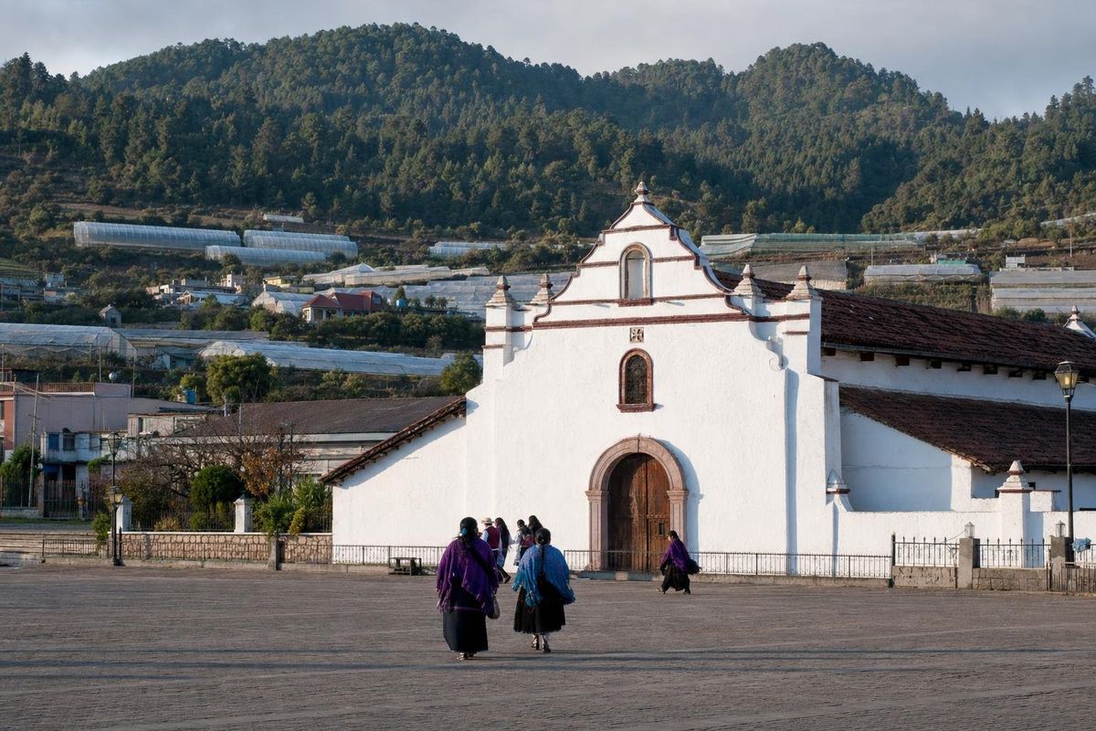
AI-generated image Towns & Villages · Chiapas
Zinacantán