
−5 m · Shallows · Lakes & Rivers · Oaxaca
Hierve el Agua, Oaxaca, Mexico: Petrified Waterfalls and Cliff Pools
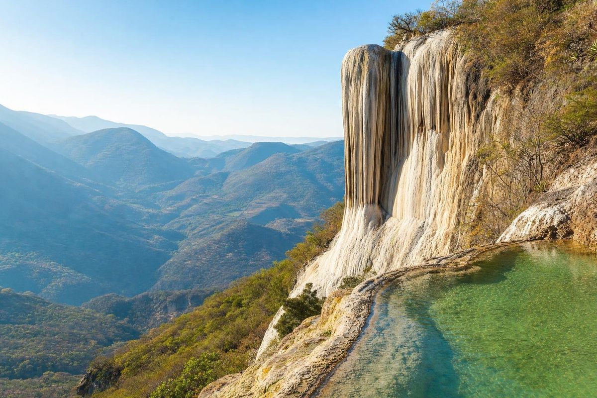
Hierve el Agua is a group of mineral springs high in the mountains about 70 km east of Oaxaca city, where water rich in calcium carbonate has spilled over the cliffs for thousands of years and left two huge white formations that look like frozen waterfalls. On the clifftop, the springs feed shallow pools you can swim in, right at the edge of the drop.
What Hierve el Agua is
The name means "the water boils", but nobody gets scalded. The springs are cool to lukewarm; the bubbling that gave the place its name comes from gas escaping where the water rises. What makes the site unusual is what happens when that water reaches the air. As it flows and evaporates, dissolved minerals come out of solution and harden into layers of rock. Over a very long time these deposits have grown into curtains of stone draped down the mountainside, shaped exactly like waterfalls frozen in mid-fall.
There are two main formations. The one closer to the pools, usually called the small cascade (cascada chica), is the one in most photographs, seen from the swimming area. The larger one, the cascada grande, hangs off a neighboring ridge and is best seen from the trail below or from the opposite viewpoint. Both are often described as travertine; the color ranges from bright white where water still trickles to grey and ochre on older surfaces.
An irrigation system older than Monte Albán's peak
The springs drew people long before visitors came for the view. On the slopes around the pools, archaeologists have studied a network of terraces and narrow canals cut to carry spring water to small fields, and they generally date its use to well over two thousand years ago, in the centuries when Zapotec society in the valleys below was growing toward the city at Monte Albán. Mineral deposits have since coated the canal walls, which is partly why they survive so clearly.
Look for thin, branching channels in the rock next to the paths around the pools: they are easy to step over without noticing.
The system worked on a small scale. Water from the springs was led along the contour of the slope and let out over terraced plots, where it could irrigate crops in a dry, steep landscape with little flat land. Because the water carries so much dissolved mineral, the canals slowly filled with deposits and had to be cleared or recut, and some researchers think the terraces themselves were partly built up by those deposits over generations. It is one of the earliest known examples of irrigation in Mesoamerica, and it is worth keeping in mind while swimming: the pools sit in the middle of an archaeological landscape.
Swimming and walking
The two cliff-edge pools are partly natural and partly shaped, filled by the springs, and their water takes on a milky turquoise color in good light. They are shallow, cool and slippery underfoot. Many visitors simply swim, sit on the rim and look out over the ridges that fall away toward the valley.
A trail loops down from the pool area to the foot of the larger formation and back up, passing viewpoints of both cascades. It is steep in places, rocky and exposed to the sun, and takes roughly an hour at an easy pace. Good shoes matter more than speed: the mineral crust can be slick, especially near running water.
Plan on two to three hours at the site to swim, walk the loop and stop at the food stalls near the entrance, which are run by the community.
Getting to Hierve el Agua
From Oaxaca city, take Highway 190 east past Tlacolula toward Mitla. From the Mitla area a road climbs into the mountains through the villages of the Albarradas area to the site, which is managed by local communities. The last stretch is winding and partly rough in places. Allow roughly an hour and a half to two hours each way from the city.
Without a car, the most common options are an organized day trip from Oaxaca city, which often combines the springs with Mitla, a mezcal palenque in Matatlán and the weaving village of Teotitlán del Valle; or a colectivo or shared pickup from Mitla. Transport arrangements change, so confirm in Mitla or Oaxaca city before setting out.
When to go
The site sits at altitude in a dry region. From roughly November to April the weather is reliably sunny and the air is clear, though mornings can be cool enough that the water feels cold. The rainy season, roughly June to October, brings greener hills and afternoon storms that can make the road and trails muddy.
Arriving early in the day is the single best tip. Tour groups from Oaxaca city tend to arrive late morning and early afternoon, and the pools fill up quickly; the morning light on the formations is also softer.
Weekends and Mexican holiday periods, especially Easter week and the weeks around Christmas and New Year, bring many more visitors from Oaxaca city and beyond. A weekday outside those periods is the quietest choice.
Access has been closed at times because of disputes between the communities that manage the land, sometimes for months. Before making the trip, check the current status in Oaxaca city or with the state tourism office.
Practical notes
- Bring a swimsuit, a towel, water and sun protection; there is little shade on the cliff.
- Prefer a mineral sunscreen, or cover up: lotions leave a film on the small pools.
- Stay on the marked paths. The mineral crust is fragile and breaks under weight, and the edges are steep drops without railings in many places.
- Entrance fees are charged by the community and change; carry small bills in cash, as there are no card payments or cash machines nearby.
- Do not climb on the formations or carve into them.
For more water stops across Mexico, from the blue river at Agua Azul in Chiapas to the lagoons of the Yucatán, see the lakes and rivers section.
Planning a visit to Hierve el Agua
Is the water at Hierve el Agua hot?
No. Despite the name, the springs are cool to lukewarm. The bubbling comes from gas rising with the water, not from heat.
Can you swim at Hierve el Agua?
Yes, in the shallow cliff-edge pools fed by the springs. They are slippery, so walk in carefully.
How long does it take to get to Hierve el Agua from Oaxaca city?
Roughly an hour and a half to two hours each way by road, via Highway 190 and a mountain road from the Mitla area.
How were the petrified waterfalls formed?
Spring water rich in dissolved calcium carbonate deposited thin layers of mineral as it flowed over the cliffs and evaporated, building the formations over thousands of years.
Is Hierve el Agua always open?
Not always. It has been closed at times because of local disputes. Check the current status in Oaxaca city before going.
Nearby on the map
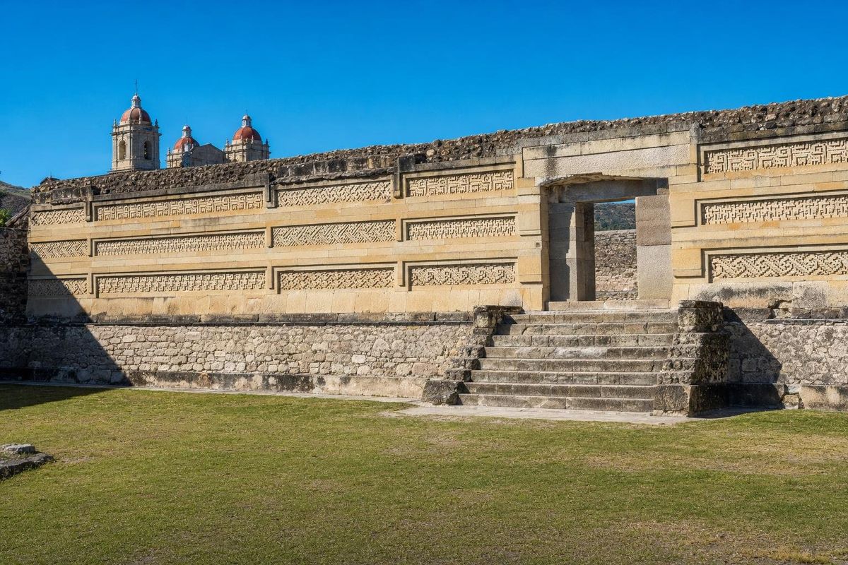
AI-generated image Maya Ruins · Oaxaca
Mitla
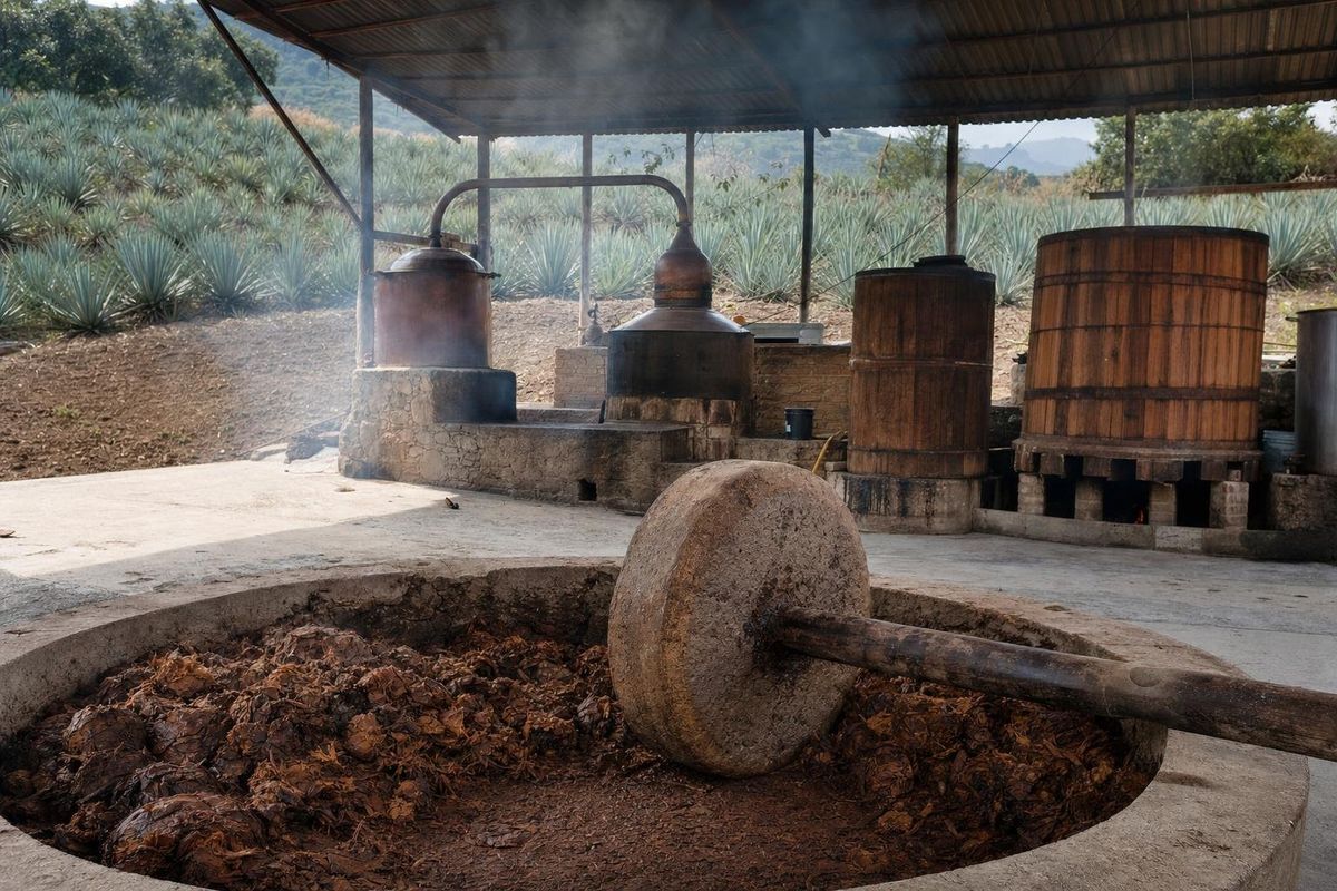
AI-generated image Towns & Villages · Oaxaca
Matatlán
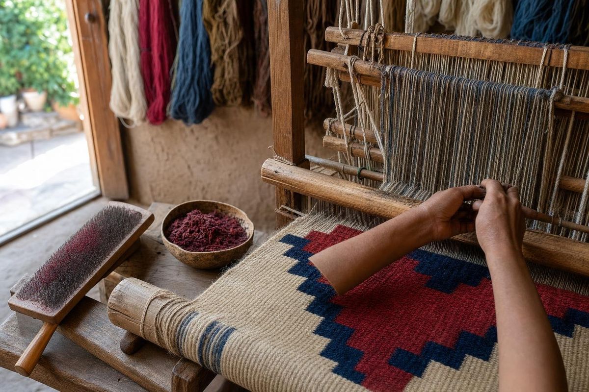
AI-generated image People of Mexico · Oaxaca
Zapotec rugs
AI-generated image Towns & Villages · Oaxaca
San Martín Tilcajete