
−5 m · Shallows · Towns & Villages · Chiapas
Frontera Corozal: Chol Maya Town and River Port in the Lacandón Jungle
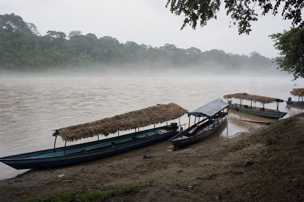
Frontera Corozal is a Chol Maya community on the Mexican bank of the Usumacinta River in eastern Chiapas, at the end of a side road off the Carretera Fronteriza. It is the departure point for boats to the ruins of Yaxchilán, about 40 minutes downstream, and a river crossing point into Guatemala. Around it lies the Lacandón jungle, the largest remaining rainforest in Mexico.
A young town on an old river
The town is recent. Chol Maya families, whose ancestral lands lie further north around Palenque and Tumbalá, settled here in the 1970s, when the Mexican government recognized a large area of the forest as communal land shared by Lacandón, Chol and Tzeltal communities. Frontera Corozal grew into the Chol center of that territory, with a school, a church, a few shops and houses spread along wide unpaved streets. Chol is spoken at home, Spanish with visitors.
The river is the reason anyone comes. The Usumacinta drains a vast basin in Guatemala and Chiapas, and together with the Grijalva it carries more water than any other river system in Mexico. Here it is wide, brown and fast, with forest down to the water on both sides. For the Classic Maya it was a trade route, and cities such as Yaxchilán and Piedras Negras rose along its banks.
Staying overnight changes the experience. Day trips arrive around midday and leave in the afternoon, and after that the town goes quiet, the boats are pulled up for the night and the sounds from the forest across the river take over. Howler monkeys often call at dawn. Simple community-run lodging exists on the river, and standards vary, so look at a room before paying.
Today the waterfront is a line of long, narrow motor launches, most of them run by community cooperatives. They carry visitors downstream to Yaxchilán and across the river to Guatemala.
Things to do in and around Frontera Corozal
Yaxchilán by boat
The boat ride to Yaxchilán is the main attraction and one of the most memorable approaches to any Maya site. The launches follow the river past sandbanks and walls of forest, and the ruins appear only when the boat noses into the bank below them. Leaving early gets you to the site before most day trips from Palenque, while the forest is cooler and howler monkeys are calling.
Bonampak and the Lacandón communities
Back on the road, the painted rooms of Bonampak are about an hour away, near the Lacandón village of Lacanjá Chansayab. Lacanjá has community-run lodging, forest trails and waterfalls, and makes a good second base.
The river and the forest
Short walks around the edges of town lead into secondary forest, and local guides can be arranged for longer outings. Birdlife along the river is rich: kingfishers, herons, egrets and, with luck, scarlet macaws, which survive in this part of the forest.
Lacandón jungle facts
The Selva Lacandona covers much of eastern Chiapas, between the highlands and the Guatemalan border. It is part of the Selva Maya, the band of tropical forest that continues into Guatemala's Petén and Belize, and it forms one of the largest blocks of rainforest left in Mesoamerica.
- The core of the forest is protected as the Montes Azules Biosphere Reserve, established in 1978, with smaller reserves around it.
- Mexico's rainforest here holds a large share of the country's species, including jaguars, Baird's tapirs, howler and spider monkeys, harpy eagles and scarlet macaws.
- Big trees include mahogany, Spanish cedar and ceiba, the sacred tree of the Maya.
- Large areas were cleared for cattle and farming during the second half of the twentieth century, and deforestation remains a pressure along the forest edges.
- The forest is named after the Lacandón Maya, a small group who call themselves Hach Winik, "true people", and who live in a few villages such as Lacanjá Chansayab, Nahá and Metzabok.
Most of what travelers see from the Carretera Fronteriza is farmland and secondary growth. The tall primary forest begins closer to the river and inside the reserves.
Getting to Frontera Corozal
From Palenque, the Carretera Fronteriza runs southeast for roughly three hours to the turnoff for Frontera Corozal, and a short side road leads down to the river. Shared vans connect Palenque with the communities along the highway, and many visitors join organized day trips that combine Yaxchilán and Bonampak. Driving yourself is possible in daylight; avoid the road at night.
The highway has military and immigration checkpoints, and community checkpoints sometimes ask for a small entry contribution. Carry your passport, and keep some cash, since there may be no working ATM. Conditions change, so ask in Palenque before setting out.
Crossing into Guatemala
Boats also cross the Usumacinta to Bethel and La Técnica on the Guatemalan side, from where road transport continues toward Flores and Tikal. You must complete Mexican exit formalities in Frontera Corozal and Guatemalan entry formalities on the other side. Procedures and the location of offices change, so confirm the current rules before relying on this route.
When to go and what to bring
The region is hot and humid year round. The wet season runs roughly from June to October, with heavy afternoon storms and a high river. The driest months, February to April, are also the hottest. Mornings are the best time on the water, in any season.
- Insect repellent, a hat and long sleeves for the forest.
- Plenty of water and some food for the boat trip.
- A rain jacket or poncho, even in the dry months.
- A flashlight for the dark rooms at Yaxchilán.
For other towns in the region, see the towns and villages section. For a highland contrast, the Tzotzil town of Zinacantán lies several hours west. In Frontera Corozal, watch the river level against the concrete steps at the landing: after a night of rain it can rise visibly by morning.
Frontera Corozal questions
How do you get from Frontera Corozal to Yaxchilán?
By boat. Launches run by local cooperatives take roughly 40 minutes downstream on the Usumacinta, and a little longer on the way back.
Can you cross into Guatemala from Frontera Corozal?
Yes, by boat to Bethel or La Técnica, after completing Mexican exit formalities. Check current procedures before you go, since they change.
Who lives in Frontera Corozal?
Mostly Chol Maya families who settled here in the 1970s. Chol is the everyday language, and most people also speak Spanish.
Is Frontera Corozal in Mexico or in Belize?
Frontera Corozal is in Chiapas, Mexico, on the Guatemalan border. It is unrelated to Corozal Town in northern Belize.
Is it safe to drive the Carretera Fronteriza?
Many visitors drive it, but travel only in daylight, carry your passport for checkpoints and ask about current conditions in Palenque before leaving.
Nearby on the map
AI-generated image Maya Ruins · Chiapas
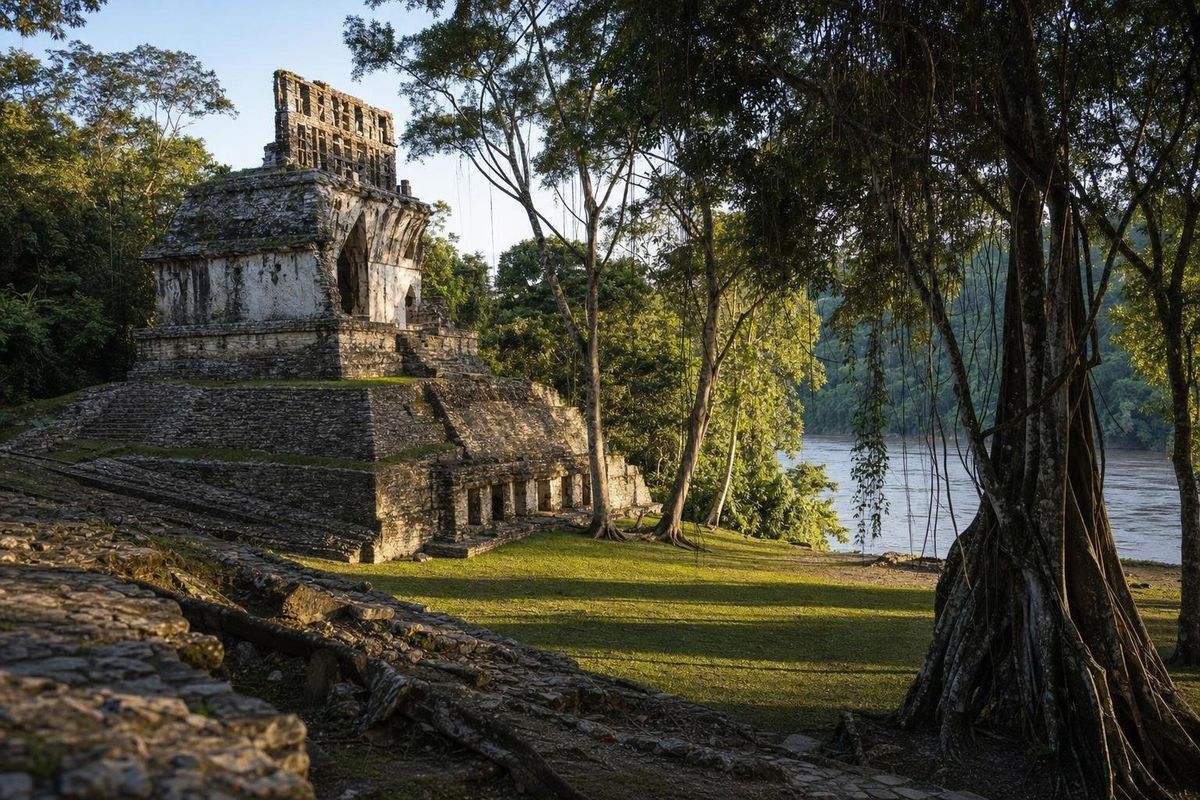
Yaxchilán
AI-generated image Trips · Chiapas
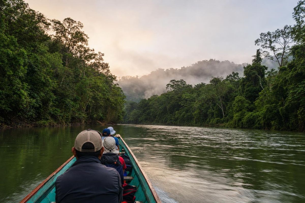
Eerie Legends
AI-generated image Maya Ruins · Chiapas
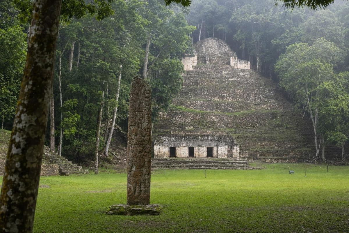
Bonampak
AI-generated image Maya Mysteries · Chiapas
Warriors